Boat House Wood
Wood, Forest in Lancashire South Lakeland
England
Boat House Wood

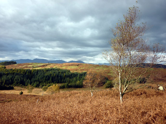
Boat House Wood, located in Lancashire, is a picturesque forest area renowned for its natural beauty and tranquility. Spanning over a vast expanse, this wood is a haven for nature enthusiasts, hikers, and those seeking solace in the midst of lush greenery.
The wood is predominantly composed of mature deciduous trees such as oak, beech, and ash, which provide a vibrant canopy of foliage during the warmer months. These trees not only enhance the aesthetic appeal of the area but also support a rich ecosystem, providing a habitat for various species of birds, small mammals, and insects.
Traversing through Boat House Wood, visitors are greeted with well-maintained footpaths that meander through the woodland, allowing for leisurely strolls and exploration. The paths are surrounded by an array of wildflowers and ferns, creating a vibrant tapestry of colors and scents.
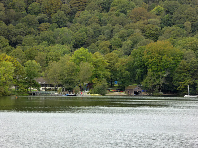
One of the main attractions of Boat House Wood is the presence of a serene lake, where visitors can indulge in activities such as fishing or simply enjoy the peaceful ambiance. The lake is also home to a variety of waterfowl, adding to the allure of the surrounding area.
Boat House Wood offers a tranquil escape from the hustle and bustle of daily life, allowing visitors to immerse themselves in the beauty of nature. Whether it's a leisurely walk, a picnic by the lake, or birdwatching, this wood provides a serene environment for all to enjoy.
If you have any feedback on the listing, please let us know in the comments section below.
Boat House Wood Images
Images are sourced within 2km of 54.313465/-2.9600922 or Grid Reference SD3791. Thanks to Geograph Open Source API. All images are credited.


Boat House Wood is located at Grid Ref: SD3791 (Lat: 54.313465, Lng: -2.9600922)
Administrative County: Cumbria
District: South Lakeland
Police Authority: Cumbria
What 3 Words
///stables.dried.scarcely. Near Windermere, Cumbria
Nearby Locations
Related Wikis
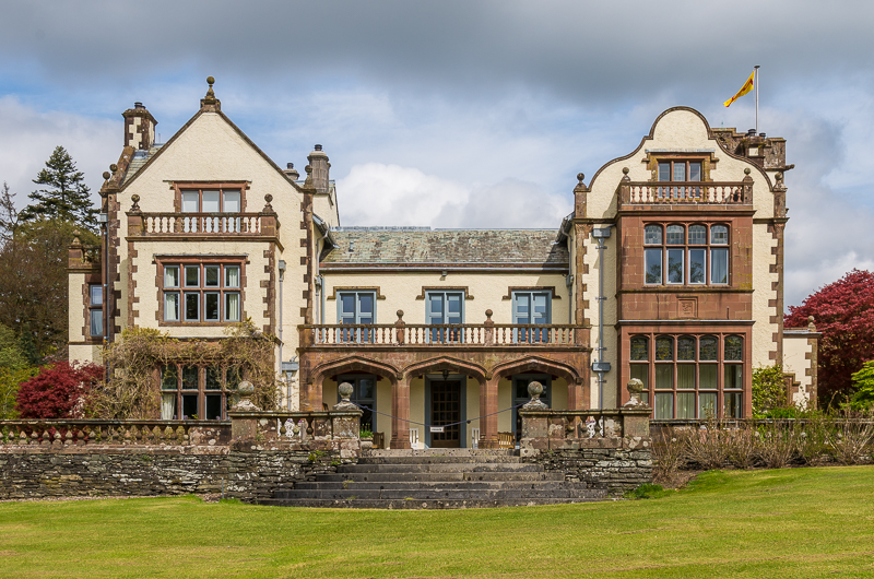
Graythwaite Hall
Graythwaite Hall, in Ulverston, Cumbria in the Lake District of England is the home of the Sandys family. One of the more famous members of the family...

Moor Crag
Moor Crag (sometimes Moorcrag) is a Grade I listed house near Bowness-on-Windermere in South Lakeland, Cumbria, England, overlooking Windermere. It lies...

Cunsey Beck
Cunsey Beck is one of several rivers and streams that replenish the lake of Windermere in the English Lake District. Being just over two miles (3.2 km...

Broad Leys
Broad Leys is a house located in Ghyll Head, near Bowness-on-Windermere, South Lakeland, Cumbria, England. It is in the northern part of the parish of...
Nearby Amenities
Located within 500m of 54.313465,-2.9600922Have you been to Boat House Wood?
Leave your review of Boat House Wood below (or comments, questions and feedback).