Brackley Wood

Wood, Forest in Westmorland South Lakeland

England

Brackley Wood

The Church of St. Mary the Virgin, Ambleside St Mary’s Church was built between 1850 and 1854 in the Early Gothic style. The architect was Sir George Gilbert Scott. It was not as ornate as many Victorian churches, and was one of the first in the North to incorporate ideas from the Oxford Movement. Unlike many Lakeland churches, it has a spire. It is a Grade II* listed building.
The Church of St. Mary the Virgin, Ambleside Credit: pam fray

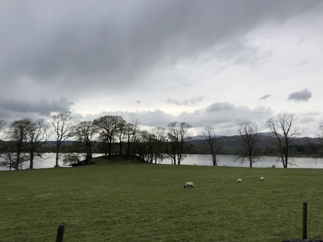
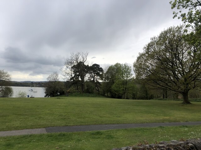
Brackley Wood is a picturesque forest located in Westmorland, a county in the northwest region of England. Covering an area of approximately 500 acres, this woodland is known for its natural beauty and diverse ecosystem.

The wood is primarily composed of deciduous trees, including oak, beech, and ash, which create a dense canopy overhead. These trees provide a habitat for a wide range of wildlife, including birds, squirrels, and deer. As a result, the wood is a popular destination for nature enthusiasts and birdwatchers.

Traversing through Brackley Wood, visitors will find a network of walking trails that meander through the forest, offering stunning views of the surrounding countryside. These trails vary in difficulty, catering to both casual strollers and avid hikers.

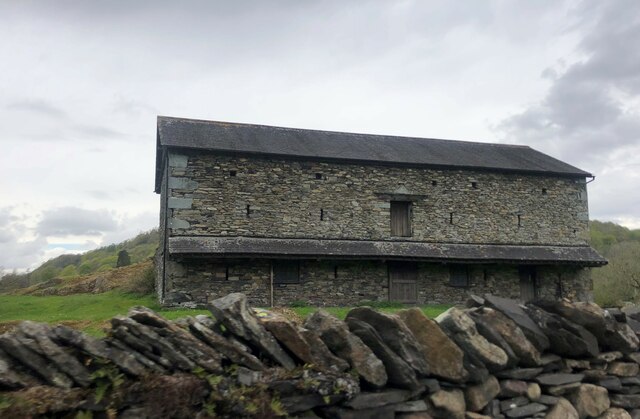
In addition to its natural allure, Brackley Wood also holds historical significance. The woodland is believed to have been in existence since medieval times, and remnants of ancient settlements, such as old stone walls and earthworks, can still be found within its boundaries. These remnants serve as a reminder of the area's rich history and past human activity.

Brackley Wood is managed by the local authorities, who strive to preserve its natural beauty and protect its wildlife. They organize educational programs and guided tours to raise awareness about the importance of conservation. Overall, Brackley Wood offers a serene and enchanting escape into nature, perfect for those seeking tranquility and a connection with the great outdoors.

If you have any feedback on the listing, please let us know in the comments section below.

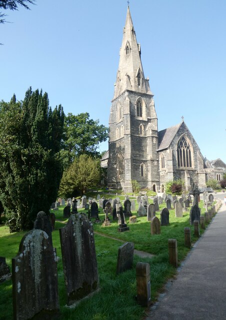
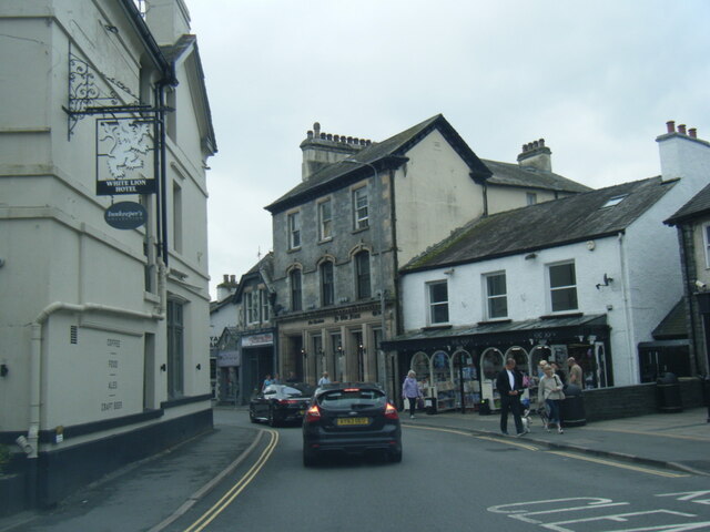
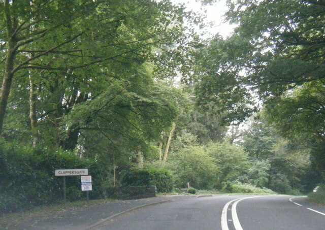
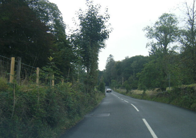
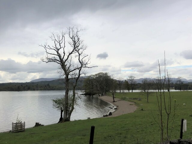
Brackley Wood Images

Images are sourced within 2km of 54.422854/-2.9643434 or Grid Reference NY3703. Thanks to Geograph Open Source API. All images are credited.

The Church of St. Mary the Virgin, Ambleside St Mary’s Church was built between 1850 and 1854 in the Early Gothic style. The architect was Sir George Gilbert Scott. It was not as ornate as many Victorian churches, and was one of the first in the North to incorporate ideas from the Oxford Movement. Unlike many Lakeland churches, it has a spire. It is a Grade II* listed building.
The Church of St. Mary the Virgin, Ambleside
St Mary’s Church was built between 1850 and 1854 in the Early Gothic style. The architect was Sir George Gilbert Scott. It was not as ornate as many Victorian churches, and was one of the first in the North to incorporate ideas from the Oxford Movement. Unlike many Lakeland churches, it has a spire. It is a Grade II* listed building.
Charlotte Mason's Grave, Ambleside Charlotte Maria Shaw Mason (1 January 1842 – 16 January 1923) was a British educator and reformer in England at the turn of the twentieth century. She proposed to base the education of children upon a wide and liberal curriculum. She was inspired by the writings of the Bible, John Amos Comenius, Matthew Arnold and John Ruskin.
Charlotte Mason's Grave, Ambleside
Charlotte Maria Shaw Mason (1 January 1842 – 16 January 1923) was a British educator and reformer in England at the turn of the twentieth century. She proposed to base the education of children upon a wide and liberal curriculum. She was inspired by the writings of the Bible, John Amos Comenius, Matthew Arnold and John Ruskin.
View from Stock High Bridge, North Road, Ambleside Stock Beck once provided water power to the many mills grinding corn and later, washing, fulling and weaving wool.
View from Stock High Bridge, North Road, Ambleside
Stock Beck once provided water power to the many mills grinding corn and later, washing, fulling and weaving wool.
Ambleside, from How Head Looking across the town to the spire of St. Mary's Church.
Ambleside, from How Head
Looking across the town to the spire of St. Mary's Church.
A591 Rydal Road at Ambleside village boundary
Market Place, Ambleside
A593 at Clappersgate village boundary
B5286 near Beck Pane Wood
Car park at Waterhead Marine sports complex
Boats moored at Waterhead
Windermere under a darkening sky
Windermere, sandy bay  Near the northern end of the lake
Windermere, sandy bay
Near the northern end of the lake
Rain clouds over Windermere
Waterhead Pier, Ambleside For lake cruises and refreshments
Waterhead Pier, Ambleside
For lake cruises and refreshments
Waterhead, Windermere At the northern end of the lake near Ambleside
Waterhead, Windermere
At the northern end of the lake near Ambleside
Borrans Park, Waterhead Borrans Park is a large open green space, with picnic tables and parking nearby.
Borrans Park, Waterhead
Borrans Park is a large open green space, with picnic tables and parking nearby.
Slate barn in Borrans Field
Crossing over the River Rothay
Show me another place!

Brackley Wood is located at Grid Ref: NY3703 (Lat: 54.422854, Lng: -2.9643434)

Administrative County: Cumbria

District: South Lakeland

Police Authority: Cumbria

What 3 Words

///pursuit.stands.headrest. Near Ambleside, Cumbria

Related Wikis

Ambleside Roman Fort

Ambleside Roman Fort is the modern name given to the remains of a fort of the Roman province of Britannia. The ruins have been tentatively identified as...

Rothay Manor

Rothay Manor is a country house near Ambleside in Cumbria. It is a Grade II listed building. == History == The house was built for John Crosfield, a merchant...

Stagshaw Garden

Stagshaw Garden is a woodland garden situated south of Ambleside, in Cumbria, England, and in the ownership of the National Trust.The garden is noted for...
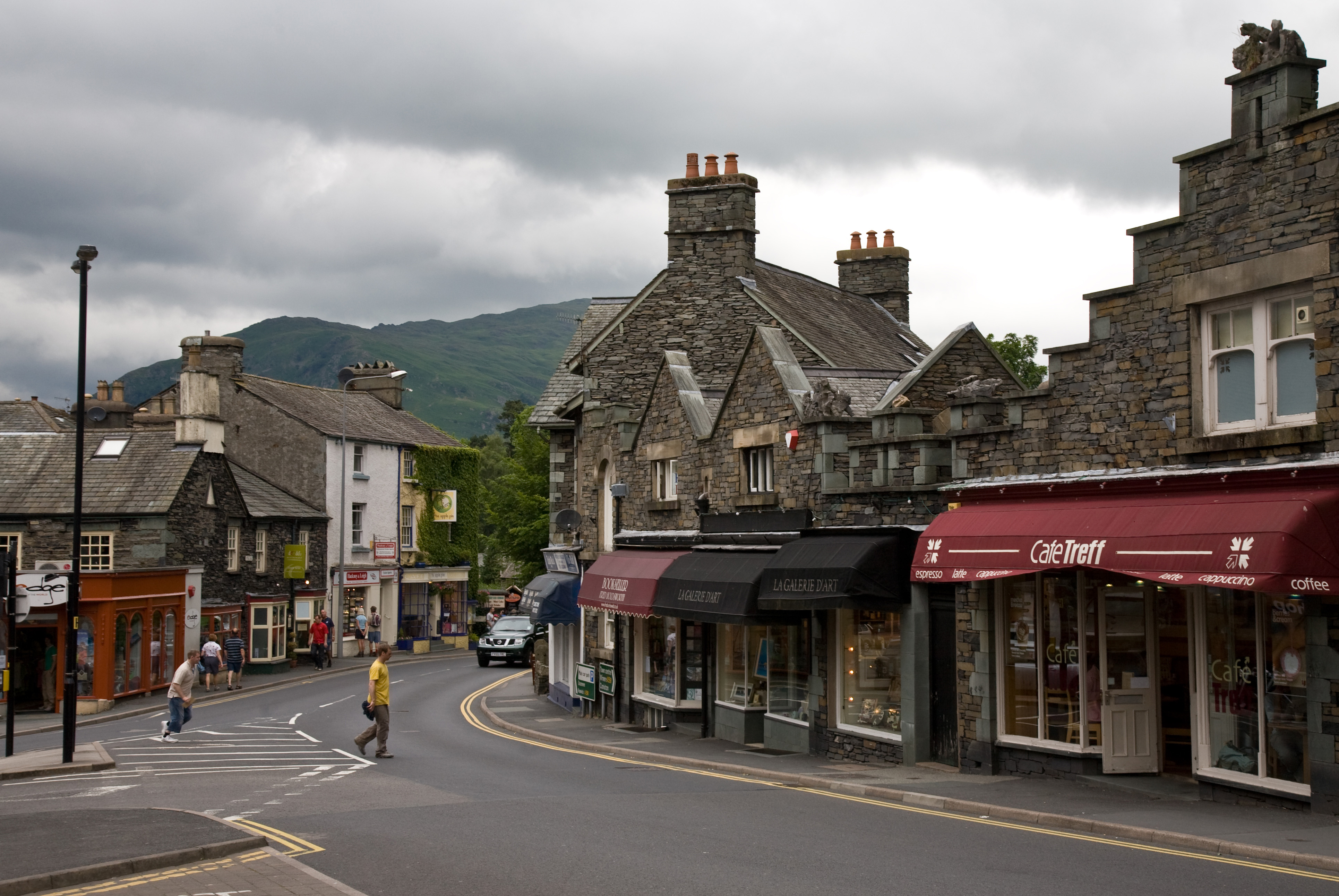
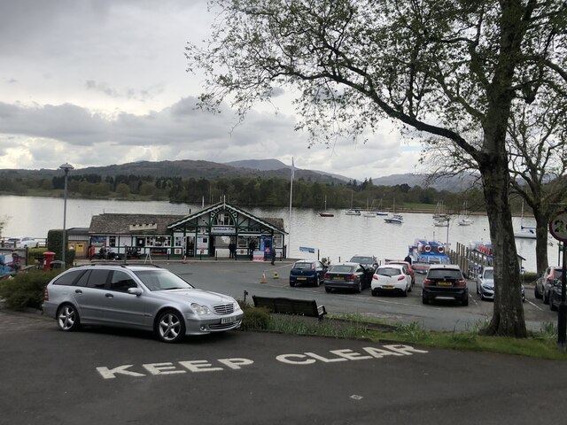
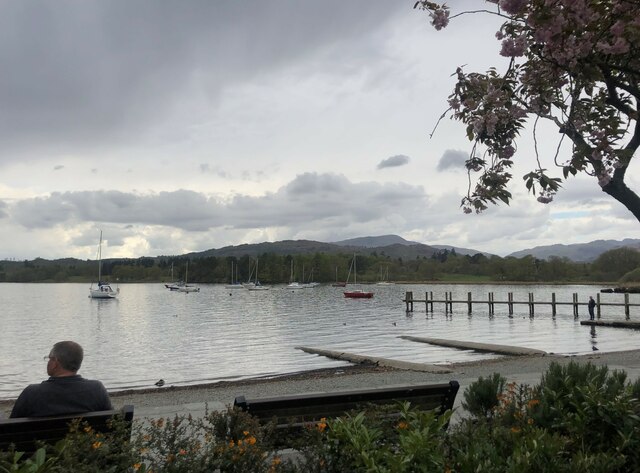
Ambleside

Ambleside is a town and former civil parish (now in the parish of Lakes) in the Westmorland and Furness district of Cumbria, England. Within the boundaries...

Clappersgate

Clappersgate is a village in the South Lakeland district, in the county of Cumbria, England. Clappersgate is located on the B5286 road and on the River...

Stock Ghyll

Stock Ghyll, also known as Stock Gill, Stock Gill Beck and Stock Beck, is a stream in South Lakeland, in the ceremonial county of Cumbria and the historic...
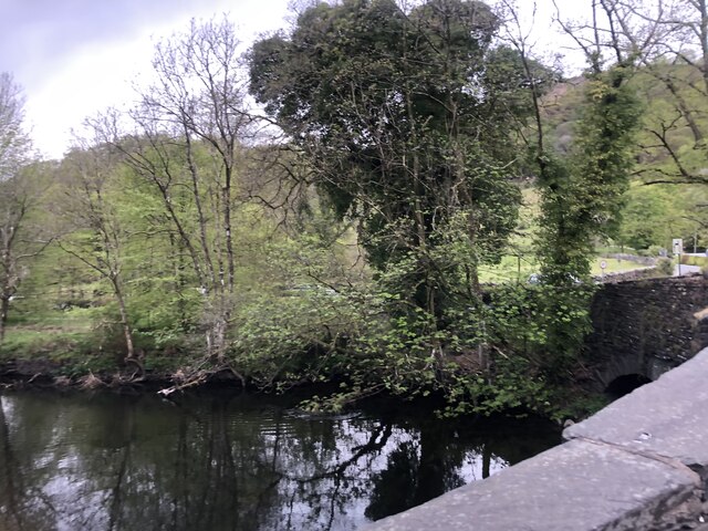
Scandale Beck

Scandale Beck arises in Lake District National Park on Bakestones Moss, west of Kirkstone Pass, and flows south for much of its length of six and a half...
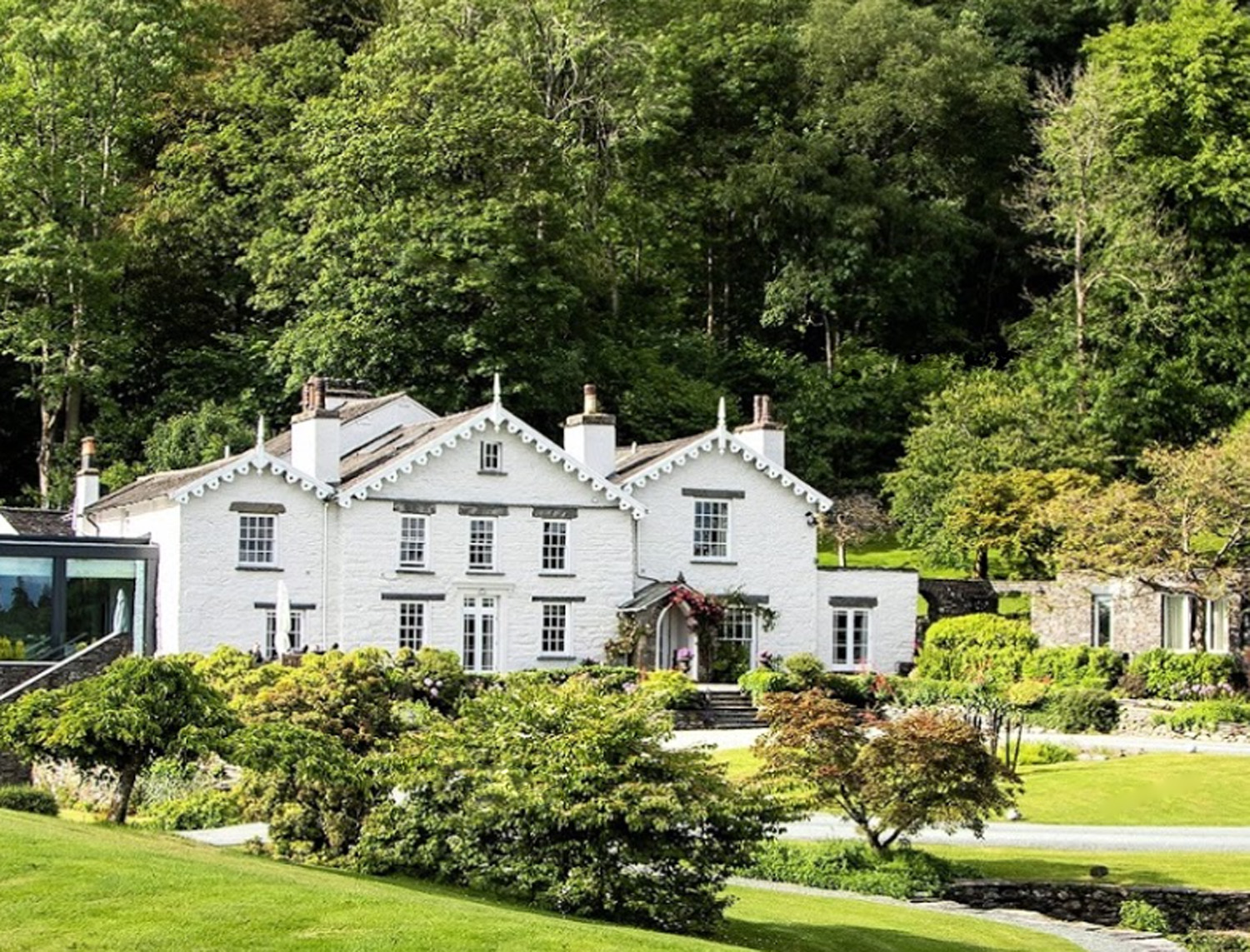
The Samling Hotel

The Samling Hotel (previously known as Dove Nest) near Windermere is a building of historical significance and is listed on the English Heritage. It was...

Nearby Amenities

Located within 500m of 54.422854,-2.9643434
Cycleway: asl
Direction: backward
Lat/Long: 54.4197178/-2.9614433
Crossing
Crossing: uncontrolled
Crossing Island: yes
Kerb: flush
Tactile Paving: yes
Lat/Long: 54.4210087/-2.9628049
Source: Landsat photo
Lat/Long: 54.4194469/-2.9691899
Source: Landsat photo
Lat/Long: 54.419567/-2.969106
Source: Landsat photo
Lat/Long: 54.4195432/-2.9684544
Source: Landsat photo
Lat/Long: 54.4207757/-2.967453
Source: Landsat photo
Lat/Long: 54.4210726/-2.9641834
Source: Landsat photo
Lat/Long: 54.42089/-2.963139
Source: Landsat photo
Lat/Long: 54.4202804/-2.9623515
Source: Landsat photo
Lat/Long: 54.4200722/-2.9623069
Source: Landsat photo
Lat/Long: 54.4195179/-2.9623753
Source: Landsat photo
Lat/Long: 54.4190385/-2.9622723
Source: Landsat photo
Lat/Long: 54.4187792/-2.9622007
Waterhead Pier
Bus: yes
Public Transport: stop_position
Lat/Long: 54.4201294/-2.9618671
Toilets
Access: yes
Charge: 50p
Fee: yes
Source: survey
Unisex: yes
Lat/Long: 54.4209208/-2.9623044
Bench
Source: survey
Lat/Long: 54.4211703/-2.9654619
Bus Stop
Hayes Garden Centre
Bench: no
Bin: no
Bus: yes
Covered: yes
Lit: yes
Naptan AtcoCode: 090079411874
Naptan Bearing: N
Naptan BusStopType: MKD
Naptan CommonName: Hayes Garden Centre
Naptan Indicator: at
Naptan Landmark: car park near Hayes garden centre
Naptan LocalityCode: E0055514
Naptan NaptanCode: cumdjwgd
Naptan PlusbusZoneRef: WMER
Naptan Street: Lake Road
Naptan Verified: yes
Public Transport: platform
Ref: cumdjwgd
Shelter: no
Source: naptan_import
Tactile Paving: no
Lat/Long: 54.4260997/-2.9618762
Bus Stop
Waterhead Hotel for Pier
Bench: no
Covered: yes
Naptan AtcoCode: 090079411913
Naptan Bearing: N
Naptan BusStopType: MKD
Naptan CommonName: Waterhead Hotel for Pier
Naptan Indicator: o/s
Naptan Landmark: Ghyll Head Hotel
Naptan LocalityCode: E0006476
Naptan NaptanCode: cumdjwgj
Naptan PlusbusZoneRef: WMER
Naptan Street: Lake Road
Naptan Verified: yes
Public Transport: platform
Ref: cumdjwgj
Shelter: no
Source: naptan_import
Lat/Long: 54.4209684/-2.9613918
Bus Stop
Riverside Lodge
Bench: yes
Bin: no
Bus: yes
Lit: no
Naptan AtcoCode: 090079412072
Naptan Bearing: S
Naptan BusStopType: MKD
Naptan CommonName: Riverside Lodge
Naptan Indicator: opp
Naptan Landmark: Riverside Lodge
Naptan LocalityCode: E0055514
Naptan NaptanCode: cumdjwgp
Naptan Street: Borrans Road
Naptan Verified: no
Public Transport: platform
Ref: cumdjwgp
Shelter: no
Source: naptan_import
Tactile Paving: no
Lat/Long: 54.4269615/-2.9672292
Bus Stop
Hayes Garden Centre
Bench: no
Bin: no
Bus: yes
Departures Board: timetable
Lit: yes
Naptan AtcoCode: 090079412735
Naptan Bearing: S
Naptan BusStopType: MKD
Naptan CommonName: Hayes Garden Centre
Naptan Indicator: near
Naptan Landmark: Lakes Car Park
Naptan LocalityCode: E0055514
Naptan NaptanCode: cumdjwjt
Naptan PlusbusZoneRef: WMER
Naptan Street: Lake Road
Naptan Verified: yes
Public Transport: platform
Ref: cumdjwjt
Shelter: yes
Source: naptan_import
Tactile Paving: no
Lat/Long: 54.4261505/-2.961757
Bus Stop
Waterhead Hotel
Bench: no
Bin: no
Lit: yes
Naptan AtcoCode: 090079412749
Naptan Bearing: S
Naptan BusStopType: MKD
Naptan CommonName: Waterhead Hotel for Pier
Naptan Indicator: opp
Naptan Landmark: Waterhead Hotel
Naptan LocalityCode: E0006476
Naptan NaptanCode: cumdjwjw
Naptan Street: Lake Road
Naptan Verified: yes
Public Transport: platform
Ref: cumdjwjw
Shelter: yes
Source: naptan_import
Tactile Paving: no
Lat/Long: 54.4202221/-2.9614297
Bus Stop
Waterhead Pier
Bench: no
Covered: no
Naptan AtcoCode: 090079412887
Naptan Bearing: N
Naptan BusStopType: CUS
Naptan CommonName: Windemere Lake Cruises
Naptan Indicator: o/s
Naptan Landmark: Windemere Lake Cruises
Naptan NaptanCode: cumdjwma
Naptan Street: Borrans Road
Naptan Verified: yes
Public Transport: platform
Shelter: no
Source: naptan_import
Lat/Long: 54.4201125/-2.9619586
Pub
Wateredge Inn
Indoor Seating: yes
Outdoor Seating: yes
Source: survey
Lat/Long: 54.4213113/-2.9632722
Access: yes
Leisure: slipway
Whitewater: egress
Lat/Long: 54.4209352/-2.9630418
Board Type: history
Check Date: 2023-08-03
Information: board
Source: survey
Tourism: information
Lat/Long: 54.4222645/-2.9665196
Crossing
Crossing: uncontrolled
Crossing Island: yes
Kerb: flush
Tactile Paving: yes
Lat/Long: 54.4223991/-2.9663864
Waste Basket
Check Date: 2021-06-18
Source: survey
Lat/Long: 54.4254482/-2.9672828
Bench
Backrest: yes
Check Date: 2021-05-31
Source: survey
Lat/Long: 54.4222043/-2.9662938
Bench
Source: survey
Lat/Long: 54.421216/-2.9658027
Barrier: entrance
Source: survey
Lat/Long: 54.4223539/-2.9664618
Source: survey
Lat/Long: 54.4235481/-2.967416
Addr Housename: Galava House
Source: survey
Lat/Long: 54.4229421/-2.9671817
Waste Basket
Check Date: 2021-05-31
Source: survey
Lat/Long: 54.4219749/-2.9658711
Bench
Source: survey
Lat/Long: 54.4211557/-2.96507
Waste Basket
Source: survey
Lat/Long: 54.4211959/-2.9652653
Addr Housename: Merlewood
Source: survey
Lat/Long: 54.4226079/-2.9667394
Bench
Source: survey
Lat/Long: 54.4212456/-2.9660409
Bench
Source: survey
Lat/Long: 54.421206/-2.9648151
Waste Basket
Source: survey
Lat/Long: 54.4224464/-2.966861
Waste Basket
Check Date: 2021-05-31
Source: survey
Lat/Long: 54.4217225/-2.9642356
Bench
Backrest: yes
Check Date: 2021-06-18
Source: survey
Lat/Long: 54.425513/-2.9672666
Bench
Source: survey
Lat/Long: 54.4212623/-2.9659436
Ferry Terminal
Ambleside Pier 1
Ferry: yes
Public Transport: station
Lat/Long: 54.4194687/-2.9631598
Galava Gate
Addr City: Ambleside
Addr Postcode: LA22 0EN
Addr Street: Borrans Road
Source: survey
Tourism: chalet
Lat/Long: 54.4238316/-2.9672729
Bench
Backrest: yes
Check Date: 2021-05-31
Source: survey
Lat/Long: 54.4218259/-2.9653216
Bench
Backrest: yes
Source: survey
Lat/Long: 54.4219507/-2.9658248
Bench
Source: survey
Lat/Long: 54.4211275/-2.96569
Waste Basket
Source: survey
Lat/Long: 54.4213509/-2.9660442
Addr Housename: Galava Shiel
Source: survey
Lat/Long: 54.423199/-2.9671488
Addr Housename: Styria
Source: survey
Lat/Long: 54.4228016/-2.9670743
Bench
Source: survey
Lat/Long: 54.4217553/-2.964756
Bench
Source: survey
Lat/Long: 54.421218/-2.965072
Waste Basket
Source: survey
Lat/Long: 54.4212019/-2.964599
Addr Housename: Borrans Court
Note: name refers to a number of flats or houses
Source: survey
Lat/Long: 54.4226332/-2.9661998
Ferry Terminal
Windemere Lake Cruises
Lat/Long: 54.4197002/-2.9623344
Barrier: kissing_gate
Lat/Long: 54.4220743/-2.9672542
Barrier: kissing_gate
Lat/Long: 54.4235064/-2.9711591
Barrier: kissing_gate
Foot: yes
Lat/Long: 54.4250505/-2.9698896
Ferry Terminal
Ambleside Pier 2
Ferry: yes
Public Transport: station
Lat/Long: 54.4199064/-2.9627876
Bench
Backrest: yes
Lat/Long: 54.4209822/-2.9628873
Barrier: stile
Material: stone
Step Count: 3
Stile: stepover
Lat/Long: 54.4200146/-2.9596087
Post Box
Collection Times: Mo-Fr 09:00, Sa 07:00
Post Box Type: lamp
Ref: LA22 139D
Royal Cypher: EIIR
Royal Cypher Wikidata: Q33102113
Lat/Long: 54.4258577/-2.961639
Barrier: bollard
Bicycle: yes
Bollard: fixed
Foot: yes
Horse: yes
Material: metal
Motor Vehicle: no
Lat/Long: 54.4203033/-2.9616222
Bench
Lat/Long: 54.4214557/-2.965094
Bench
Lat/Long: 54.4210499/-2.9649519
Bench
Lat/Long: 54.4212044/-2.9646729
The Edinburgh Woollen Mill
Addr City: Ambleside
Addr Housename: Hayes Garden World
Addr Postcode: LA22 0DW
Addr Street: Lake Road
Brand: The Edinburgh Woollen Mill
Brand Wikidata: Q16834657
Level: 0
Shop: clothes
Lat/Long: 54.4249512/-2.9621919
Barrier: bollard
Lat/Long: 54.4193728/-2.9620253
Waterhead
Place: suburb
Lat/Long: 54.4219435/-2.9640413
Borrans Park
Tourism: hotel
Lat/Long: 54.4250847/-2.9660762
The Fisherbeck
Addr City: Ambleside
Addr Postcode: LA22 0DH
Addr Street: Old Lake Road
Fhrs Id: 299993
Phone: +44 15394 33215
Tourism: hotel
Lat/Long: 54.4263984/-2.9610882
Operator: Environment Agency
Waterway: debris_screen
Lat/Long: 54.4262137/-2.9616848
Diamond Lodge
Addr City: Ambleside
Addr Postcode: LA22 0DN
Addr Street: Lake Road
Fhrs Id: 1380481
Tourism: guest_house
Lat/Long: 54.4267405/-2.9614258
Lakelovers Cottage Holidays
Addr City: Ambleside
Addr Street: Lake Road
Phone: +44 15394 888 55
Shop: travel_agency
Lat/Long: 54.4257917/-2.9615865
Lyndale Guest House
Addr City: Ambleside
Addr Postcode: LA22 0DN
Addr Street: Lake Road
Fhrs Id: 299109
Phone: +44 15394 34244
Tourism: guest_house
Lat/Long: 54.4251431/-2.9613918
Wanslea
Addr City: Ambleside
Addr Postcode: LA22 0DN
Addr Street: Lake Road
Fhrs Id: 441624
Tourism: guest_house
Lat/Long: 54.4249939/-2.9613741
Broadview Guest House
Addr City: Ambleside
Addr Postcode: LA22 0DN
Addr Street: Lake Road
Tourism: guest_house
Lat/Long: 54.425069/-2.9613794
Restaurant
The Lakeside
Addr City: Ambleside
Addr Street: Lake Road
Lat/Long: 54.4191979/-2.9617253
Paws by the Lake
Addr City: Ambleside
Addr Housename: Old Toll House
Addr Place: Waterhead
Addr Postcode: LA22 0EZ
Addr Street: Lake Road
Fhrs Id: 299462
Shop: pet
Lat/Long: 54.4196852/-2.9615467
English Lakes Ice Cream
Addr City: Ambleside
Addr Street: Lake Road
Shop: ice_cream
Lat/Long: 54.4197109/-2.9616387
Boathouse
Addr City: Ambleside
Addr Postcode: LA22 0EY
Addr Street: Lake Road
Fixme: Confirm shop type
Shop: gift
Lat/Long: 54.4196207/-2.9617294
Shell Shop
Shop: gift
Lat/Long: 54.4196166/-2.9617949
Fast Food
Ambleside Fish & Chips
Addr City: Ambleside
Addr Place: Waterhead
Addr Postcode: LA22 0EY
Addr Street: Lake Road
Cuisine: fish_and_chips
Drive Through: no
Fhrs Id: 299667
Takeaway: yes
Lat/Long: 54.4196022/-2.9618568
Bench
Backrest: yes
Check Date: 2024-02-11
Lat/Long: 54.4197576/-2.9618021
Waste Basket
Check Date: 2024-02-11
Lat/Long: 54.4197478/-2.961893
Post Box
Collection Times: Mo-Fr 16:45; Sa 11:45
Operator: Royal Mail
Operator Wikidata: Q638098
Post Box Type: pillar
Ref: LA22 134
Royal Cypher: EVIIR
Royal Cypher Wikidata: Q33102324
Lat/Long: 54.4197065/-2.96193
Traffic Signals
Crossing: traffic_signals
Traffic Signals: signal
Lat/Long: 54.4206877/-2.9622866
Bench
Backrest: yes
Check Date: 2023-08-03
Lat/Long: 54.4204008/-2.9621253
Bench
Backrest: yes
Check Date: 2023-08-03
Lat/Long: 54.4204836/-2.9621863
Bench
Backrest: yes
Lat/Long: 54.4205675/-2.9622656
Bench
Backrest: yes
Lat/Long: 54.4206574/-2.9623489
Bar
Bar & Grill At Waterhead
Addr City: Ambleside
Addr Street: Borrans Road
Lat/Long: 54.4206441/-2.9619881
Waste Basket
Check Date: 2024-02-11
Lat/Long: 54.4208053/-2.9623372
Lakeside Picnic
Addr City: Ambleside
Addr Postcode: LA22 0ER
Addr Street: Borrans Road
Fhrs Id: 769781
Ice Cream: yes
Shop: gift
Lat/Long: 54.4208591/-2.9623546
Bench
Backrest: yes
Lat/Long: 54.4210127/-2.9630038
Quaysiders Club
Addr City: Ambleside
Addr Postcode: LA22 0HJ
Addr Street: Borrans Road
Phone: +44 1539 433969
Tourism: guest_house
Website: https://www.quaysiders.co.uk/
Lat/Long: 54.4219029/-2.96327
Cotswold Outdoor
Addr City: Ambleside
Addr Housename: Hayes Garden World
Addr Postcode: LA22 0DW
Addr Street: Lake Road
Brand: Cotswold Outdoor
Brand Wikidata: Q5175488
Brand Wikipedia: en:Cotswold Outdoor
Contact Website: https://www.cotswoldoutdoor.com/stores/ambleside.html
Level: -1
Shop: outdoor
Lat/Long: 54.4244304/-2.9625102
Cafe
Four Seasons Terrace Café
Addr City: Ambleside
Addr Housename: Hayes Garden World
Addr Postcode: LA22 0DW
Addr Street: Lake Road
Level: 1
Website: https://www.hayesgardenworld.co.uk/garden-centre/restaurant/four-seasons-terrace-cafe
Lat/Long: 54.4250165/-2.9619875
Traffic Signals
Traffic Signals: signal
Traffic Signals Direction: backward
Lat/Long: 54.4197576/-2.9614601
Traffic Signals
Traffic Signals: signal
Traffic Signals Direction: backward
Lat/Long: 54.4199381/-2.9616468
Traffic Signals
Traffic Signals: signal
Traffic Signals Direction: forward
Lat/Long: 54.4199645/-2.9615146
Give Way
Direction: backward
Lat/Long: 54.4201655/-2.9616081
Give Way
Direction: forward
Lat/Long: 54.420065/-2.9617209
Give Way
Direction: forward
Lat/Long: 54.4202976/-2.9618936
Give Way
Direction: backward
Lat/Long: 54.4200298/-2.9614506
Give Way
Direction: backward
Lat/Long: 54.4208252/-2.9612865
Give Way
Direction: forward
Lat/Long: 54.4223296/-2.9608393
Give Way
Direction: forward
Lat/Long: 54.4245806/-2.9613799
Give Way
Direction: forward
Lat/Long: 54.4261623/-2.9618732
Give Way
Direction: forward
Lat/Long: 54.4267277/-2.9620813
Waterhead Hotel for Pier
Bus: yes
Public Transport: stop_position
Lat/Long: 54.4209642/-2.961311
Hayes Garden Centre
Bus: yes
Public Transport: stop_position
Lat/Long: 54.4261072/-2.9618052
Cafe
Pier Cafe Bar
Addr City: Ambleside
Addr Place: Waterhead
Addr Postcode: LA22 0EU
Fhrs Id: 299733
Lat/Long: 54.4196129/-2.9622888
Bicycle Repair Station
Service Bicycle Pump: yes
Lat/Long: 54.4200381/-2.9619409
Bicycle Parking
Bicycle Parking: stands
Capacity: 8
Covered: no
Lat/Long: 54.4200296/-2.9619824
Telephone
Booth: KX100
Check Date: 2021-06-02
Covered: booth
Lat/Long: 54.420016/-2.9620298
Waterhead Hotel
Bus: yes
Public Transport: stop_position
Lat/Long: 54.4202467/-2.9615436
Hayes Garden Centre
Bus: yes
Public Transport: stop_position
Lat/Long: 54.426144/-2.9618192
Bench
Lat/Long: 54.4209281/-2.9575208
Give Way
Direction: backward
Lat/Long: 54.4218627/-2.9637201
Give Way
Direction: backward
Lat/Long: 54.4235425/-2.9673677
Give Way
Direction: forward
Lat/Long: 54.4258925/-2.9676143
Grit Bin
Lat/Long: 54.4260198/-2.9674556
Vending Machine
Check Date: 2021-06-18
Vending: parking_tickets
Lat/Long: 54.4213086/-2.9621513
Angle Tower
Board Type: history
Information: board
Source: gps;survey
Tourism: information
Lat/Long: 54.4220308/-2.9678181
Main Gate
Board Type: history
Information: board
Source: gps;survey
Tourism: information
Lat/Long: 54.4222612/-2.9676548
South Gate
Board Type: history
Information: board
Source: gps;survey
Tourism: information
Lat/Long: 54.4218954/-2.9684554
The Heart of Ambleside Roman Fort
Board Type: history
Information: board
Source: gps;survey
Tourism: information
Lat/Long: 54.4223171/-2.9685003
Welcome to Ambleside Roman Fort
Board Type: history
Check Date: 2022-07-13
Information: board
Source: gps;survey
Tourism: information
Lat/Long: 54.4224669/-2.9670432
Boat Rental
Dinghy Rental: yes
Motorboat Rental: yes
Operator: Windermere Lake Cruises
Website: https://www.windermere-lakecruises.co.uk/self-drive-row-boats
Lat/Long: 54.4202659/-2.9624229
Riverside Lodge
Bus: yes
Public Transport: stop_position
Lat/Long: 54.4269591/-2.9673477
Heart of the Lakes (holiday cottages)
Office: yes
Lat/Long: 54.4263464/-2.960783
Charging Station
Access: yes
Capacity: 1
Fee: yes
Network: Genie Point
Operator: GeniePoint
Operator Wikidata: Q111363966
Socket Chademo: 1
Socket Type1 Combo: 1
Socket Type2: 1
Lat/Long: 54.4260561/-2.9616672
Bar
The Deck
Lat/Long: 54.4214675/-2.9626648
Leisure: slipway
Lat/Long: 54.4191521/-2.9622607
Drinking Water
Lat/Long: 54.4190803/-2.9617978
Tourism: picnic_site
Lat/Long: 54.4189311/-2.9620516
Waste Basket
Lat/Long: 54.4258926/-2.9614907
Vending Machine
Check Date: 2024-02-04
Vending: parking_tickets
Lat/Long: 54.4259338/-2.9614682
Waste Basket
Lat/Long: 54.4260216/-2.9616714
Grit Bin
Lat/Long: 54.4261849/-2.9616944
Charging Station
Access: customers
Capacity: 2
Fee: no
Operator: Hayes Garden World
Socket Type2: 2
Lat/Long: 54.4253694/-2.9626758
Bicycle Rental
Waterhead Bike Hire
Fee: yes
Operator: Lake District National Park Authority
Website: https://www.lakedistrict.gov.uk/visiting/things-to-do/cycling
Lat/Long: 54.4209284/-2.9623477
Information: guidepost
Tourism: information
Lat/Long: 54.4260348/-2.9688097
Pavers
Addr City: Ambleside
Addr Housename: Hayes Garden World
Addr Postcode: LA22 0DW
Addr Street: Lake Road
Level: 0
Shop: shoes
Lat/Long: 54.4252151/-2.962859
Entrance: main
Lat/Long: 54.4242637/-2.9624804
Entrance: exit
Lat/Long: 54.424273/-2.9623472
Fountain
Drinking Water: no
Lat/Long: 54.4242486/-2.9622255
Fountain
Lat/Long: 54.4248458/-2.9627623
Entrance: main
Lat/Long: 54.4252277/-2.9620495
Entrance: exit
Lat/Long: 54.425197/-2.9619683
Leisure: swimming_area
Sport: swimming
Lat/Long: 54.4189746/-2.9623532
Bicycle Parking
Bicycle Parking: shed
Lat/Long: 54.4188617/-2.9612642
Leisure: picnic_table
Lat/Long: 54.4187021/-2.9619948
Bench
Backrest: yes
Material: wood+concrete
Lat/Long: 54.4211885/-2.9653638
Board Type: notice
Description: Borrans Park
Information: board
Tourism: information
Lat/Long: 54.421647/-2.9643774
Toilets
Lat/Long: 54.4252581/-2.9631679
The data included in this document is from www.openstreetmap.org. The data is made available under ODbL.

Have you been to Brackley Wood?

Leave your review of Brackley Wood below (or comments, questions and feedback).