Benthills Wood
Wood, Forest in Somerset
England
Benthills Wood
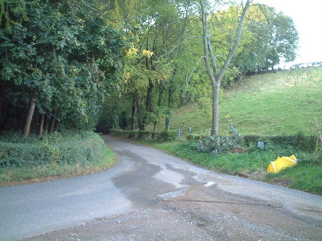
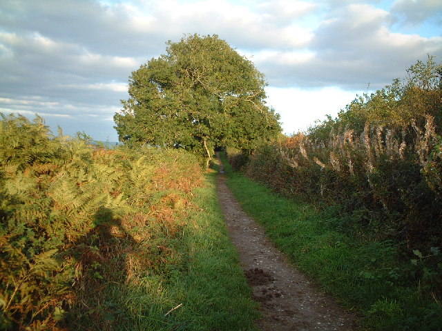
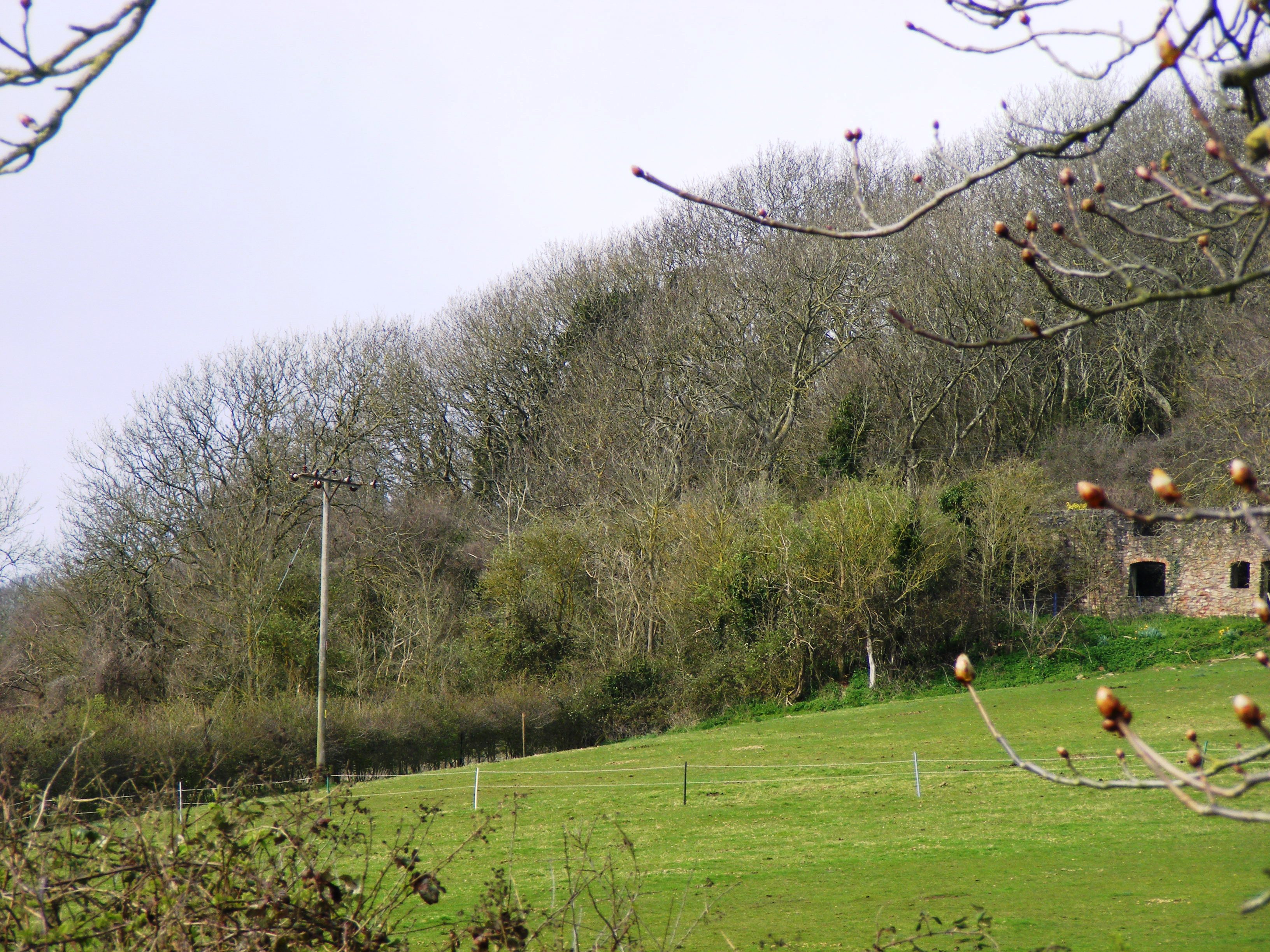
Benthills Wood is a picturesque woodland located in the county of Somerset, England. Situated in the heart of the countryside, it covers an area of approximately 100 acres, making it a substantial forested area within the region. The wood is easily accessible, with a network of footpaths and trails that wind through the trees, providing a peaceful and tranquil environment for visitors to explore.
The wood is predominantly made up of deciduous trees, including oak, beech, and ash, which create a stunning display of colors during the autumn months. These trees provide a haven for a diverse range of wildlife, including birds, mammals, and insects. Nature enthusiasts can often spot species such as deer, squirrels, and various bird species as they wander through the woodlands.
Benthills Wood has a rich history, dating back many centuries. It is believed that the wood was once part of an extensive royal hunting forest during medieval times. Today, remnants of this historical significance can still be seen, with the presence of ancient oaks and the occasional earthwork.
The wood is a popular destination for outdoor activities such as walking, jogging, and photography. Its peaceful atmosphere and scenic beauty make it an ideal spot for nature lovers to escape the hustle and bustle of everyday life. Additionally, the wood hosts educational programs and guided tours, providing an opportunity for visitors to learn about the importance of woodland conservation and management.
Overall, Benthills Wood is a cherished natural treasure in Somerset, offering a sanctuary for wildlife and a place of serenity for all who visit.
If you have any feedback on the listing, please let us know in the comments section below.
Benthills Wood Images
Images are sourced within 2km of 51.323087/-2.8997165 or Grid Reference ST3758. Thanks to Geograph Open Source API. All images are credited.


Benthills Wood is located at Grid Ref: ST3758 (Lat: 51.323087, Lng: -2.8997165)
Unitary Authority: North Somerset
Police Authority: Avon and Somerset
What 3 Words
///trap.globe.pulps. Near Locking, Somerset
Nearby Locations
Related Wikis

Elborough Hill
Elborough Hill is an univallate Iron Age hill fort situated approximately 1.2 miles (1.9 km) east from the small village of Hutton and 1 mile (1.6 km)...

Banwell Caves
Banwell Caves (grid reference ST383588) are a 1.7-hectare geological and biological Site of Special Scientific Interest near the village of Banwell, North...
Locking, Somerset
Locking is a village and civil parish in Somerset, England. It is a predominantly quiet residential area of North Somerset, 3.5 miles (5.6 km) south east...
RAF Locking
RAF Locking was a Royal Air Force station near the village of Locking and about 3 miles from Weston-super-Mare in North Somerset, England. During the...

Hutton, Somerset
Hutton is a village and civil parish in Somerset, England. The parish, which has a population of 2,582, is within the unitary authority of North Somerset...
LeisureDome, Weston-super-Mare
LeisureDome was a proposed indoor ski slope for Weston-super-Mare, Somerset, England. It was to be located on the site of the former RAF Locking, which...
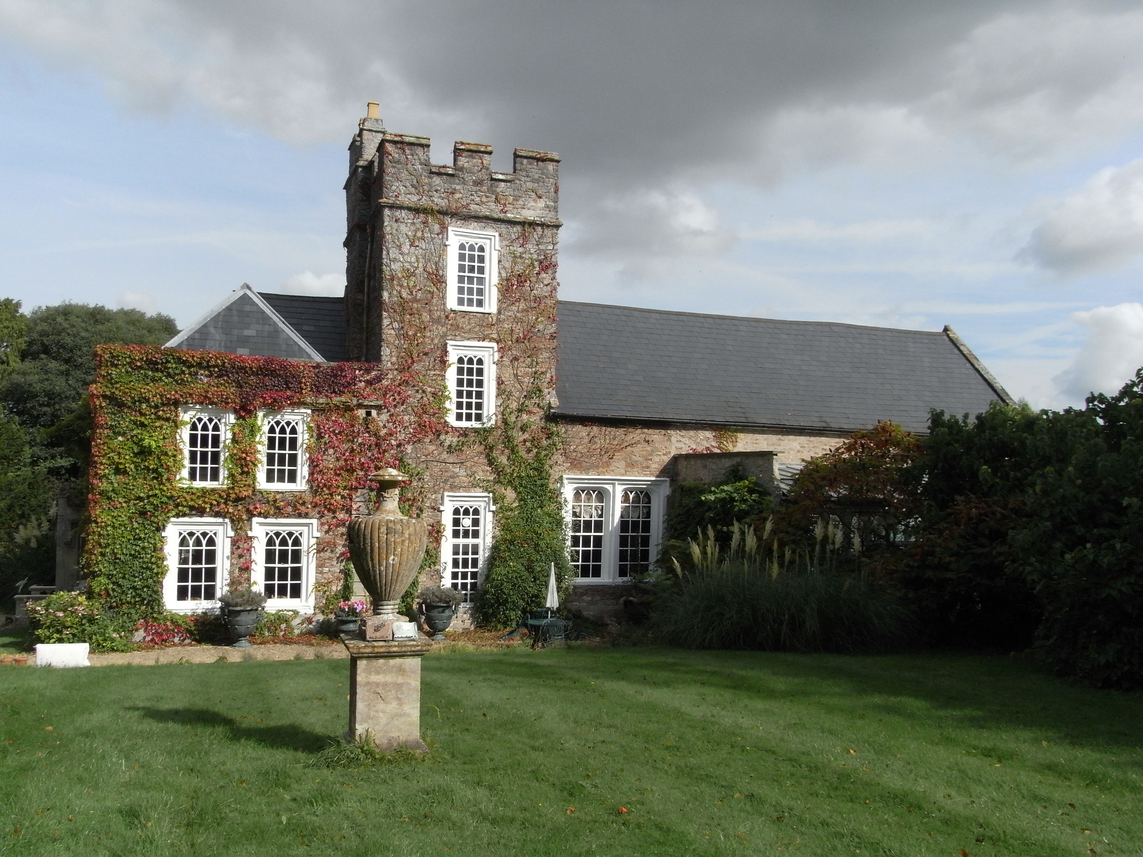
Hutton Court
Hutton Court is a country house at Hutton, Somerset, England, built in the 15th century as a manor house. It is Grade II* listed on the National Heritage...
Shiplate Slait
Shiplate Slait (grid reference ST365567) is a 33.9 hectare biological Site of Special Scientific Interest near the village of Loxton, within the Mendip...
Nearby Amenities
Located within 500m of 51.323087,-2.8997165Have you been to Benthills Wood?
Leave your review of Benthills Wood below (or comments, questions and feedback).