Well Coppice
Wood, Forest in Shropshire
England
Well Coppice
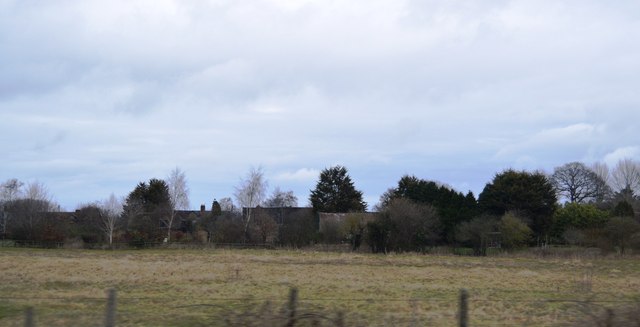
Well Coppice is a woodland area located in the county of Shropshire, England. It is situated near the village of Clun, in the Clun Valley, which is renowned for its picturesque landscapes and rich biodiversity. Covering an area of approximately 40 hectares, Well Coppice is a designated Site of Special Scientific Interest (SSSI) due to its unique ecological characteristics.
The woodland is predominantly composed of oak trees, interspersed with a variety of other native tree species such as ash, birch, and hazel. The diverse range of flora and fauna found within the coppice makes it a haven for wildlife enthusiasts and nature lovers alike. Several rare and protected species thrive within the woodland, including the endangered lesser horseshoe bat and the rare pearl-bordered fritillary butterfly.
Visitors to Well Coppice can enjoy a network of well-maintained footpaths and trails that meander through the woodland, providing excellent opportunities for walking, hiking, and birdwatching. The peaceful atmosphere and tranquil setting make it an ideal destination for those seeking solace in nature.
The management of Well Coppice follows sustainable forestry practices, including traditional coppicing techniques that have been employed for centuries. This method involves periodically cutting down certain trees to encourage the growth of new shoots and maintain the woodland's diversity. The coppice also supports a thriving timber industry, providing a sustainable source of wood for various local crafts and industries.
In conclusion, Well Coppice in Shropshire is a cherished natural resource, boasting a rich variety of flora and fauna. Its designation as an SSSI and the implementation of sustainable forestry practices ensure its preservation for future generations to enjoy.
If you have any feedback on the listing, please let us know in the comments section below.
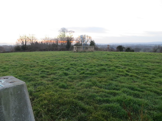
Well Coppice Images
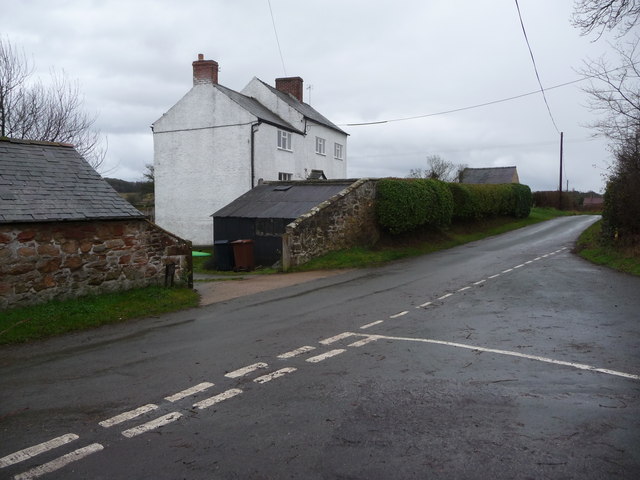
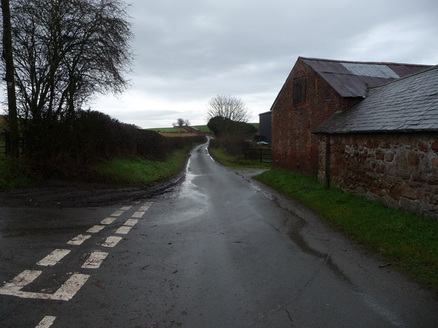
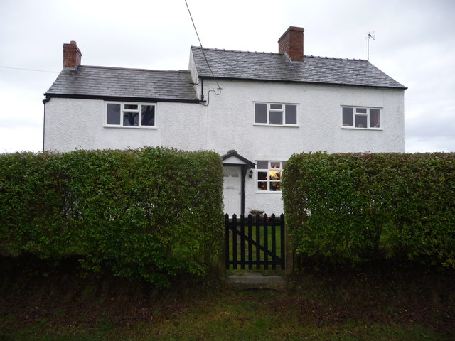
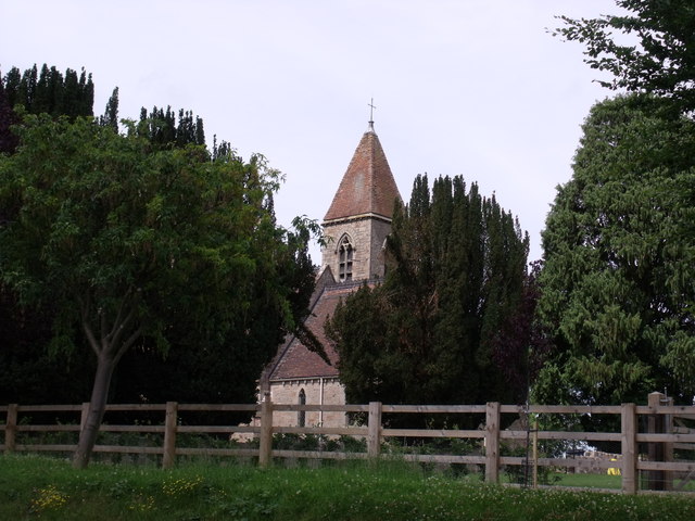
Images are sourced within 2km of 52.82824/-2.9319296 or Grid Reference SJ3726. Thanks to Geograph Open Source API. All images are credited.

Well Coppice is located at Grid Ref: SJ3726 (Lat: 52.82824, Lng: -2.9319296)
Unitary Authority: Shropshire
Police Authority: West Mercia
What 3 Words
///suiting.lipstick.cherry. Near Ruyton-XI-Towns, Shropshire
Nearby Locations
Related Wikis

Haughton Halt railway station
Haughton Halt was a minor station located north of Shrewsbury on the GWR's Paddington to Birkenhead main line. It was opened in the nineteen thirties as...

Grimpo
Grimpo is a small hamlet in Shropshire, England. Its unusual name was formerly written Grimpool, and is possibly based on an Old English personal name...
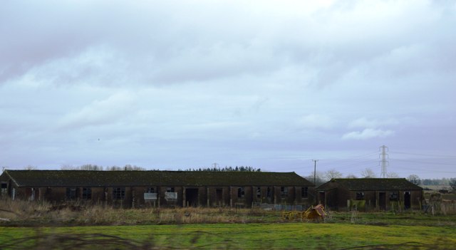
RAF Rednal
Royal Air Force Rednal, or more simply RAF Rednal, is a former Royal Air Force station located near Oswestry in Shropshire, England. == History == ��3...
Shelvock Manor
Shelvock Manor is a house and grounds in a township of the same name near Shrewsbury, Shropshire, England. It was once a place of local importance, and...

Wykey
Wykey is a hamlet in Shropshire, England. It is approximately 2 miles north of the larger village of Ruyton-XI-Towns, and is recognised as one of the eleven...
Rednal and West Felton railway station
Rednal & West Felton railway station was a minor station on the GWR's Paddington to Birkenhead main line. Today this is part of the Shrewsbury to Chester...
Rednal rail crash
Rednal rail crash was a rail accident that occurred near Rednal station in Shropshire. On 7 June 1865 a permanent way (groundwork and rails) gang were...

West Felton
West Felton is a village and civil parish near Oswestry in Shropshire, England. At the 2001 census the parish, which also includes the settlements of Rednal...
Nearby Amenities
Located within 500m of 52.82824,-2.9319296Have you been to Well Coppice?
Leave your review of Well Coppice below (or comments, questions and feedback).