Bank Wood

Wood, Forest in Lancashire South Lakeland

England

Bank Wood

Fields beside the overflow car park Looking across farmland next to the Hill Top overflow car park.
Fields beside the overflow car park Credit: DS Pugh

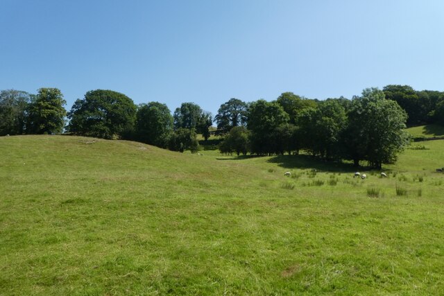
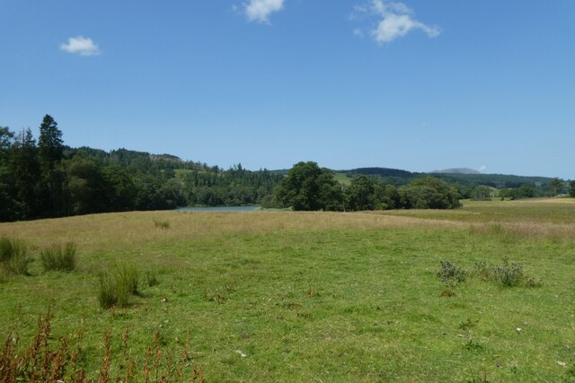
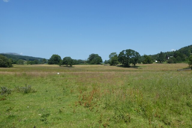
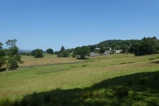
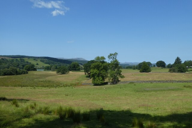
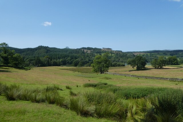
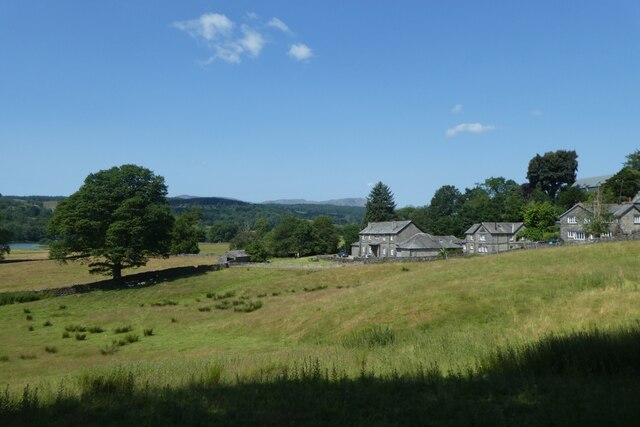
Bank Wood is a dense and picturesque forest located in the county of Lancashire, England. It is situated near the town of Wood and occupies an area of approximately 500 acres. The forest is characterized by its lush greenery, towering trees, and diverse wildlife, making it a popular destination for nature lovers and outdoor enthusiasts.

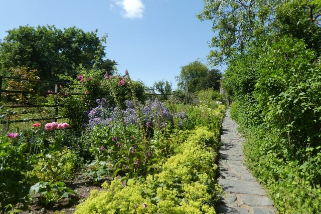
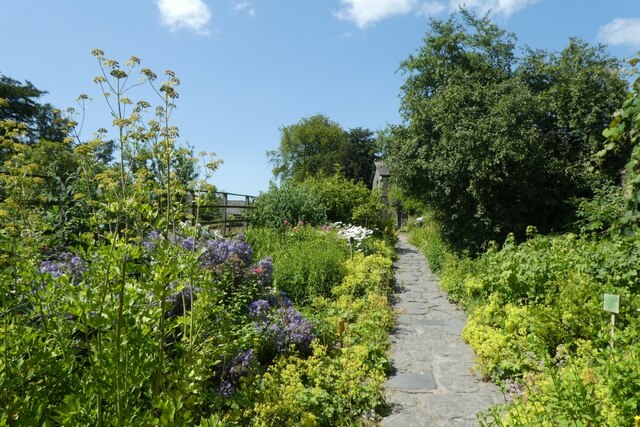
The wood is predominantly made up of mature deciduous trees such as oak, beech, and birch, which create a vibrant and ever-changing landscape throughout the year. The forest floor is covered with a rich carpet of mosses, ferns, and wildflowers, adding to the enchanting atmosphere of the wood.

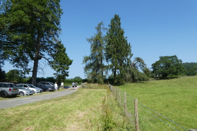
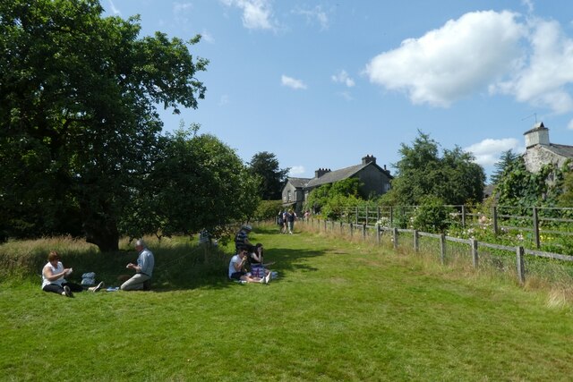
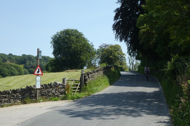
Visitors to Bank Wood can explore the numerous walking trails that crisscross through the forest, allowing them to immerse themselves in the natural beauty and tranquility of the surroundings. These trails vary in difficulty, catering to both casual strollers and more experienced hikers. Along the way, there are also several designated picnic areas and benches where visitors can rest and appreciate the serenity of the wood.

The forest is home to a wide array of wildlife, including deer, foxes, badgers, and a variety of bird species. Birdwatchers can spot woodpeckers, owls, and other woodland birds in their natural habitat. The tranquil environment of Bank Wood also provides an ideal spot for photography enthusiasts, offering countless opportunities to capture the beauty of nature.

Overall, Bank Wood in Lancashire is a captivating woodland retreat that offers a peaceful and rejuvenating experience for anyone seeking solace in nature.

If you have any feedback on the listing, please let us know in the comments section below.
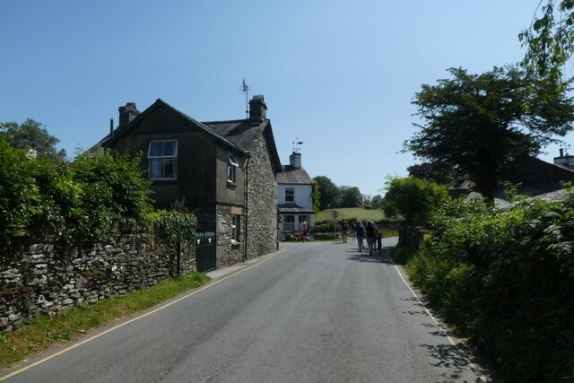
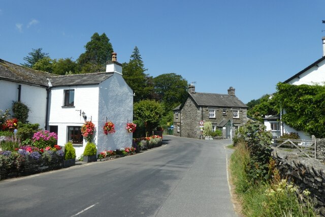
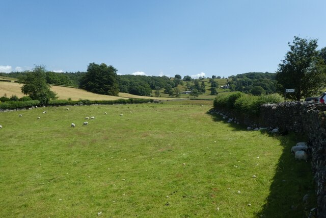
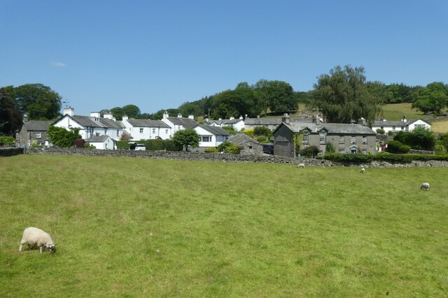
Bank Wood Images

Images are sourced within 2km of 54.356177/-2.9675047 or Grid Reference SD3796. Thanks to Geograph Open Source API. All images are credited.

Fields beside the overflow car park Looking across farmland next to the Hill Top overflow car park.
Fields beside the overflow car park
Looking across farmland next to the Hill Top overflow car park.
Hill Top overflow car park Looking across part of the overflow car park for the National Trust property at Hill Top.
Hill Top overflow car park
Looking across part of the overflow car park for the National Trust property at Hill Top.
Towards Esthwaite Water Looking across a field towards the shores of the lake.
Towards Esthwaite Water
Looking across a field towards the shores of the lake.
Fields east of Esthwaite Water Looking across farmland near Sawrey.
Fields east of Esthwaite Water
Looking across farmland near Sawrey.
Farmland south of Near Sawrey Looking across fields towards the village.
Farmland south of Near Sawrey
Looking across fields towards the village.
Farmland between Sawrey and Esthwaite Water Looking across fields east of the lake, west of the village.
Farmland between Sawrey and Esthwaite Water
Looking across fields east of the lake, west of the village.
Land towards the lake Looking across farmland towards Esthwaite Water.
Land towards the lake
Looking across farmland towards Esthwaite Water.
Towards Esthwaite How Farm Looking towards building in Near Sawrey.
Towards Esthwaite How Farm
Looking towards building in Near Sawrey.
Road through Near Sawrey Looking along the B5285 in the village.
Road through Near Sawrey
Looking along the B5285 in the village.
Houses in Near Sawrey Looking through the village near Hill Top.
Houses in Near Sawrey
Looking through the village near Hill Top.
Field beside Hill Top Looking across a field with sheep sheltering in the shade.
Field beside Hill Top
Looking across a field with sheep sheltering in the shade.
Field and Near Sawrey Looking across a field towards part of the village.
Field and Near Sawrey
Looking across a field towards part of the village.
Garden in Hill Top Looking along the gardens in the house which belonged to Beatrix Potter.
Garden in Hill Top
Looking along the gardens in the house which belonged to Beatrix Potter.
Hill Top Gardens Looking along the gardens in the house which belonged to Beatrix Potter.
Hill Top Gardens
Looking along the gardens in the house which belonged to Beatrix Potter.
Hill Top Farmhouse The former home of Beatrix Potter.
Hill Top Farmhouse
The former home of Beatrix Potter.
Vegetable garden at Hill Top Looking towards the farmhouse formerly occupied by Beatrix Potter.
Vegetable garden at Hill Top
Looking towards the farmhouse formerly occupied by Beatrix Potter.
Lawns at Hill Top Looking across the National Trust property, the former home of Beatrix Potter.
Lawns at Hill Top
Looking across the National Trust property, the former home of Beatrix Potter.
Cyclist in Near Sawrey Looking along the B5285 in Near Sawrey. The sign warns of Peter Rabbit.
Cyclist in Near Sawrey
Looking along the B5285 in Near Sawrey. The sign warns of Peter Rabbit.
Show me another place!

Bank Wood is located at Grid Ref: SD3796 (Lat: 54.356177, Lng: -2.9675047)

Administrative County: Cumbria

District: South Lakeland

Police Authority: Cumbria

What 3 Words

///hissing.mammoths.flags. Near Windermere, Cumbria

Related Wikis

Near and Far Sawrey

Near Sawrey and Far Sawrey are two neighbouring villages in the Furness area of Cumbria, England. Within the boundaries of the historic county of Lancashire...
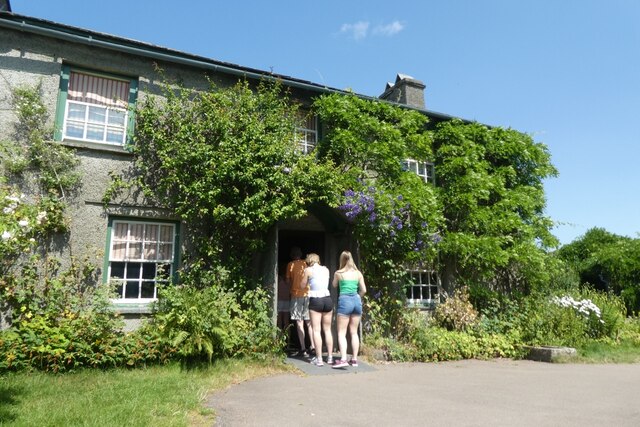
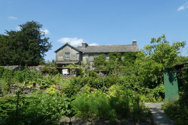
Hill Top, Cumbria

Hill Top is a 17th-century house in Near Sawrey near Hawkshead, in the English county of Cumbria. It is an example of Lakeland vernacular architecture...

Moss Eccles Tarn

Moss Eccles Tarn is a tarn on Claife Heights, near Near Sawrey in the Lake District, Cumbria. It is currently owned by the National Trust and known as...

Esthwaite Water

Esthwaite Water is one of the smaller and lesser known lakes in the Lake District National Park in northern England. It is situated between the much larger...

Claife

Claife is a civil parish in the South Lakeland district of Cumbria, England. It is situated west of Windermere, and east of Esthwaite Water and the village...

Claife Heights

Claife Heights is an upland area in the Lake District, near to Windermere in Cumbria, England. It has a topographic prominence of 177 metres (581 ft) so...

Hawkshead and Claife

Hawkshead and Claife is a National Trust property made up of much of the town of Hawkshead and surrounding Claife Woodlands in Cumbria, England. Overlooking...

Windermere Way

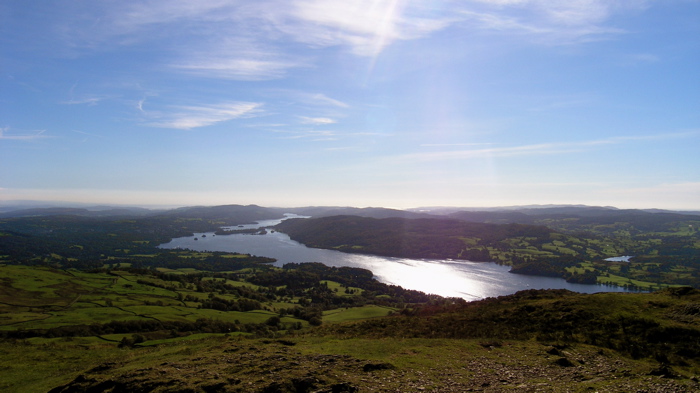
The Windermere Way is a 45-mile circuit of Windermere, a lake in the English Lake District. The route is wholly within the Lake District National Park...

Nearby Amenities

Located within 500m of 54.356177,-2.9675047
Bus Stop
The Beechmount
Local Ref: AT
Naptan AtcoCode: 090079131219
Naptan Bearing: E
Naptan CommonName: The Beechmount
Naptan Indicator: at
Naptan Landmark: Village Signpost
Naptan NaptanCode: cumdgtdw
Naptan Street: B5285
Naptan Verified: no
Source: naptan_import
Lat/Long: 54.3531475/-2.9725418
Bus Stop
Beechmount
Naptan AtcoCode: 090079133780
Naptan Bearing: NW
Naptan BusStopType: CUS
Naptan CommonName: Beechmount
Naptan Indicator: o/s
Naptan Landmark: Beechmount
Naptan NaptanCode: cumdgtgw
Naptan Street: No name
Naptan Verified: no
Source: naptan_import
Lat/Long: 54.3530564/-2.9726935
Buckle Yeat Guest House
Addr City: Near Sawrey
Addr Postcode: LA22 0LF
Fhrs Id: 298952
Tourism: guest_house
Lat/Long: 54.3520831/-2.970472
Foot: yes
Lat/Long: 54.3553987/-2.9642349
Barrier: cattle_grid
Lat/Long: 54.3541936/-2.961857
Defibrillator
Booth: KX100
Covered: booth
Defibrillator Location: inside old phone box by entrance to playground car park
Disused Amenity: telephone
Emergency: defibrillator
Man Made: telephone_box
Lat/Long: 54.3533134/-2.9730846
Post Box
Collection Times: Mo-Fr 16:00; Sa 10:00
Post Box Type: wall
Ref: LA22 177
Royal Cypher: GR
Royal Cypher Wikidata: Q33102273
Lat/Long: 54.3522702/-2.9705735
Belle Green
Addr City: Near Sawrey
Addr Housename: Belle Green Cottage
Addr Postcode: LA22 0LF
Fhrs Id: 579492
Phone: +44 15394 36508
Tourism: guest_house
Website: https://www.bellegreenbedandbreakfast.co.uk/
Lat/Long: 54.3531346/-2.9702078
Near Sawrey
Place: village
Wikidata: Q3136806
Wikipedia: en:Near and Far Sawrey
Lat/Long: 54.3523272/-2.9703948
Ford: yes
Lat/Long: 54.3584652/-2.9659806
Power: pole
Lat/Long: 54.3529856/-2.9714218
Power: pole
Lat/Long: 54.3541034/-2.97183
Power: pole
Lat/Long: 54.3551516/-2.9725181
Power: pole
Lat/Long: 54.3558923/-2.9729923
Power: pole
Lat/Long: 54.357704/-2.9740726
Power: pole
Lat/Long: 54.3579439/-2.9742223
Power: pole
Lat/Long: 54.3543268/-2.9616886
Power: pole
Lat/Long: 54.3550529/-2.9627707
The data included in this document is from www.openstreetmap.org. The data is made available under ODbL.

Have you been to Bank Wood?

Leave your review of Bank Wood below (or comments, questions and feedback).