Lee Wood

Wood, Forest in Herefordshire

England

Lee Wood

Staunton on Arrow Parish Church The elevation of the church shown lies within the grid square, but part of the church building lies within the adjacent square SO3760.
Staunton on Arrow Parish Church Credit: Simon Davies

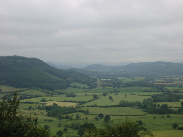
Lee Wood is a picturesque forested area located in the county of Herefordshire, England. Situated near the village of Wood, this woodland covers an extensive area and provides a serene and tranquil environment for visitors. The wood is predominantly composed of deciduous trees, including oak, beech, and birch, which create a rich and diverse ecosystem.

The landscape of Lee Wood is characterized by undulating hills, deep valleys, and meandering streams, adding to its natural beauty. The forest floor is covered in a thick carpet of moss, ferns, and wildflowers, creating a vibrant and colorful display throughout the year.

This woodland is not only a haven for nature enthusiasts but also a habitat for a wide range of wildlife. Visitors may spot various bird species, including woodpeckers, finches, and owls, as well as mammals such as deer, foxes, and badgers. The forest is also home to a diverse array of insects, including butterflies and beetles.

Lee Wood offers several walking trails and paths, allowing visitors to explore its stunning surroundings. These trails vary in difficulty, catering to both casual strollers and more adventurous hikers. The forest also provides opportunities for picnicking, photography, and simply enjoying the peaceful ambiance.

With its idyllic setting and abundant natural beauty, Lee Wood in Herefordshire is a perfect destination for those seeking solace in nature and a chance to immerse themselves in the tranquility of the forest.

If you have any feedback on the listing, please let us know in the comments section below.
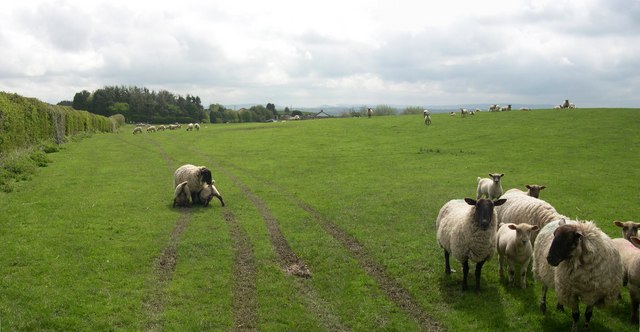
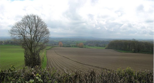
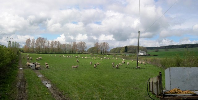
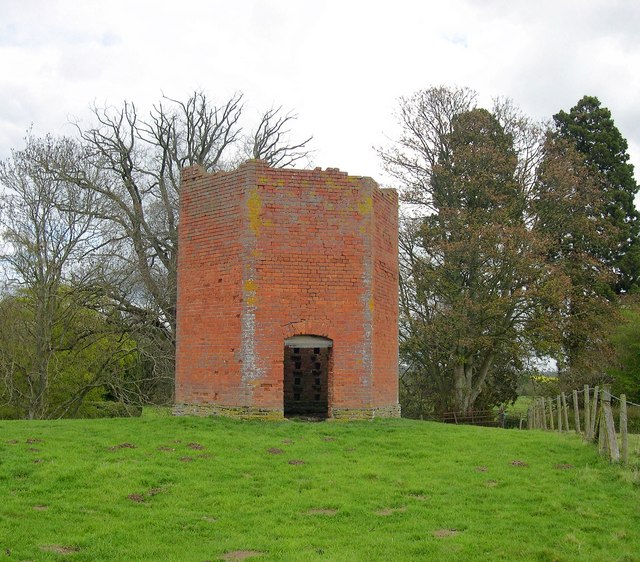
Lee Wood Images

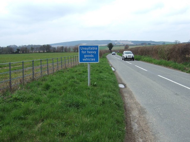
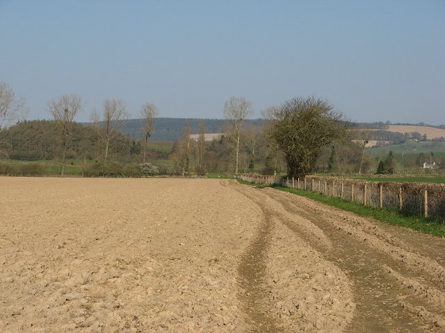
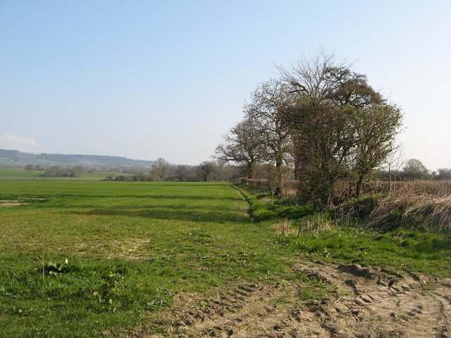
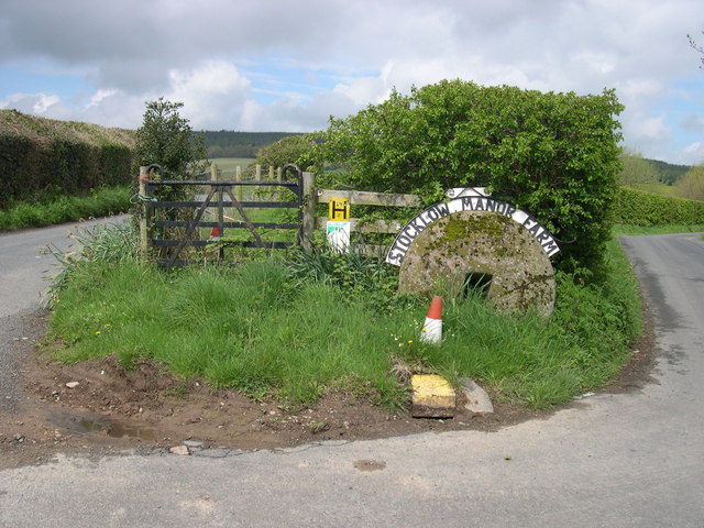
Images are sourced within 2km of 52.240152/-2.9324011 or Grid Reference SO3660. Thanks to Geograph Open Source API. All images are credited.

Staunton on Arrow Parish Church The elevation of the church shown lies within the grid square, but part of the church building lies within the adjacent square SO3760.
Staunton on Arrow Parish Church
The elevation of the church shown lies within the grid square, but part of the church building lies within the adjacent square SO3760.
Mortimer Trail Just below Waply Hill Wood and above Stansbatch - looking south
Mortimer Trail
Just below Waply Hill Wood and above Stansbatch - looking south
Field below Wapley Hill on the Mortimer Trail Good view over N Herefordshire from here
Field below Wapley Hill on the Mortimer Trail
Good view over N Herefordshire from here
Road from Milton Cross to Stockley Cross
Remains of old railway bridge near Horseway Head The track from where the picture was taken forms part of the Mortimer Trail, a long distance path that runs from Kington to Ludlow Castle.
Remains of old railway bridge near Horseway Head
The track from where the picture was taken forms part of the Mortimer Trail, a long distance path that runs from Kington to Ludlow Castle.
Ploughed field, Staunton Newly cultivated field just outside Staunton on Arrow.
Ploughed field, Staunton
Newly cultivated field just outside Staunton on Arrow.
Winter crops, Staunton Cornfields east of the Shobdon-Lyonshall road.
Winter crops, Staunton
Cornfields east of the Shobdon-Lyonshall road.
Wapley Hill Fort And Walks
Entrance to Stocklow Manor Farm An old millstone and a traffic cone mark the entrance to this farm. Wild flowers grow from the top of the plastic cone.
Entrance to Stocklow Manor Farm
An old millstone and a traffic cone mark the entrance to this farm. Wild flowers grow from the top of the plastic cone.
Residents, Stocklow Manor Farm
Ploughed farmland below Wapley Hill Burton Hill above Weobley in the background.
Ploughed farmland below Wapley Hill
Burton Hill above Weobley in the background.
Sheep near Staunton Green
Dovecote, Staunton Park Six sided, I believe - I forgot to count. No roof, but the nesting holes were still occupied, as I found out when I ventured inside. Late 18th century, I would guess.
Dovecote, Staunton Park
Six sided, I believe - I forgot to count. No roof, but the nesting holes were still occupied, as I found out when I ventured inside. Late 18th century, I would guess.
Stansbatch House Large 18th/19th century house at the foot of Wapley Hill, with commanding views.
Stansbatch House
Large 18th/19th century house at the foot of Wapley Hill, with commanding views.
Stansbatch House Largish 18th/19th century house at the foot of Wapley Hill.
Stansbatch House
Largish 18th/19th century house at the foot of Wapley Hill.
Barn at Stansbatch House One of a series of abandoned farm buildings across the lane from Stansbatch House. If it is going to be converted, someone had better hurry up.
Barn at Stansbatch House
One of a series of abandoned farm buildings across the lane from Stansbatch House. If it is going to be converted, someone had better hurry up.
Baptist Chapel, Stansbatch Dates from 1863. The right hand side of the chapel is made from corrugated iron. Chapels like this have closed in their thousands, but this one is still regularly used and is well cared for.
Baptist Chapel, Stansbatch
Dates from 1863. The right hand side of the chapel is made from corrugated iron. Chapels like this have closed in their thousands, but this one is still regularly used and is well cared for.
Railway bridge, Horseway Head Road overbridge on the former GWR branch line to Presteigne, which closed finally in 1964. The passenger service ended in the 1950s, long before Beeching. The bridge was built to accommodate double track - a tad ambitious out here.
Railway bridge, Horseway Head
Road overbridge on the former GWR branch line to Presteigne, which closed finally in 1964. The passenger service ended in the 1950s, long before Beeching. The bridge was built to accommodate double track - a tad ambitious out here.
Show me another place!

Lee Wood is located at Grid Ref: SO3660 (Lat: 52.240152, Lng: -2.9324011)

Unitary Authority: County of Herefordshire

Police Authority: West Mercia

What 3 Words

///otter.reclusive.treble. Near Kinsham, Herefordshire

Nearby Locations

Staunton on Arrow Lee Wood

Related Wikis

Staunton on Arrow

Staunton on Arrow is a village and civil parish in the county of Herefordshire, England. The village is 17 miles (27 km) north-west of Hereford and 8 miles...

Forge Crossing Halt railway station

Forge Crossing Halt railway station was a station in Titley, Herefordshire, England. The station, on the Presteigne Branch Line of the Leominster and Kington...

Marston Halt railway station

Marston Halt railway station was a station in Marston, Herefordshire, England. The station was opened in 1856 and closed in 1955. The station was located...

Combe Moor

Combe Moor, also known as Coombes Moor, is a linear hamlet in the civil parish of Byton in Herefordshire, England, to the south-east of the Welsh town...

Nearby Amenities

Located within 500m of 52.240152,-2.9324011
Generator Method: photovoltaic
Generator Output Electricity: yes
Generator Source: solar
Generator Type: solar_photovoltaic_panel
Location: ground
Power: generator
Lat/Long: 52.2371171/-2.9279476
Generator Method: photovoltaic
Generator Output Electricity: yes
Generator Source: solar
Generator Type: solar_photovoltaic_panel
Location: ground
Power: generator
Lat/Long: 52.2369906/-2.9279262
Generator Method: photovoltaic
Generator Output Electricity: yes
Generator Source: solar
Generator Type: solar_photovoltaic_panel
Location: ground
Power: generator
Lat/Long: 52.2370645/-2.927902
Turning Loop
Lat/Long: 52.2364783/-2.9327519
The data included in this document is from www.openstreetmap.org. The data is made available under ODbL.

Have you been to Lee Wood?

Leave your review of Lee Wood below (or comments, questions and feedback).