Staunton on Arrow

Settlement in Herefordshire

England

Staunton on Arrow

Staunton on Arrow Parish Church The elevation of the church shown lies within the grid square, but part of the church building lies within the adjacent square SO3760.
Staunton on Arrow Parish Church Credit: Simon Davies

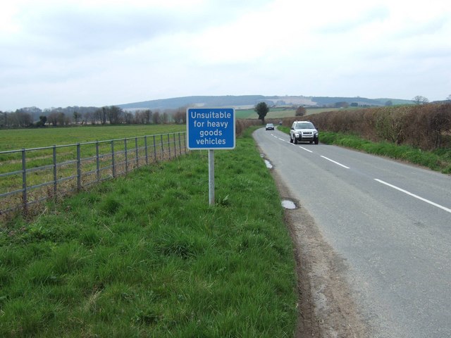
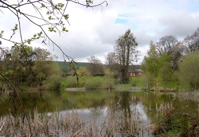
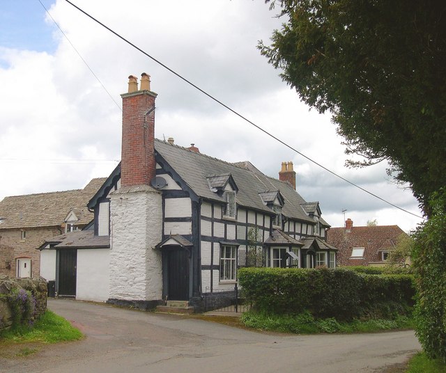
Staunton on Arrow is a small village located in the county of Herefordshire, England. Situated in the Arrow Valley, the village is nestled amidst picturesque countryside and offers a tranquil and idyllic setting for residents and visitors alike.

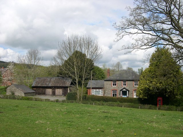
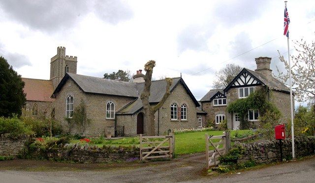
The village is known for its charming and well-preserved historic architecture, with many buildings dating back to the 17th and 18th centuries. The centerpiece of Staunton on Arrow is the stunning St. Peter's Church, a Grade I listed building that boasts a beautiful Norman tower and intricate stained glass windows.

The village is also home to a welcoming community, with a population of approximately 500 residents. Local amenities include a village hall, a primary school, and a traditional pub – the perfect place to unwind after exploring the scenic surroundings.

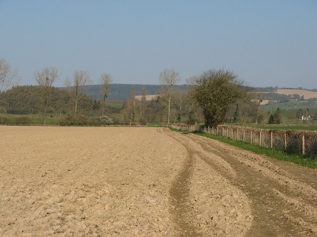
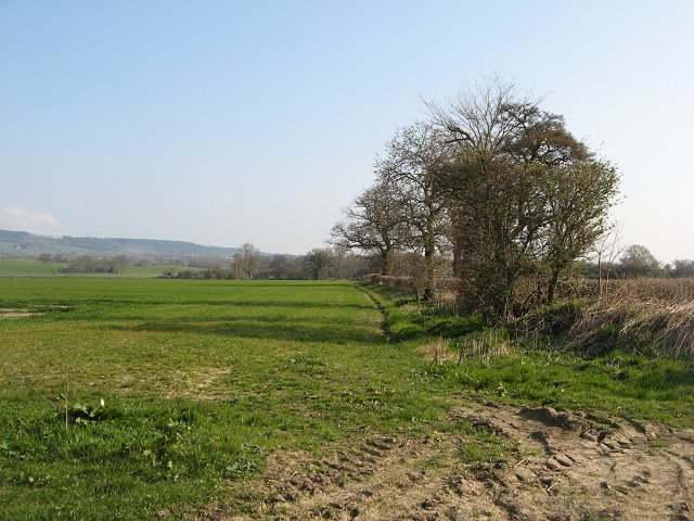
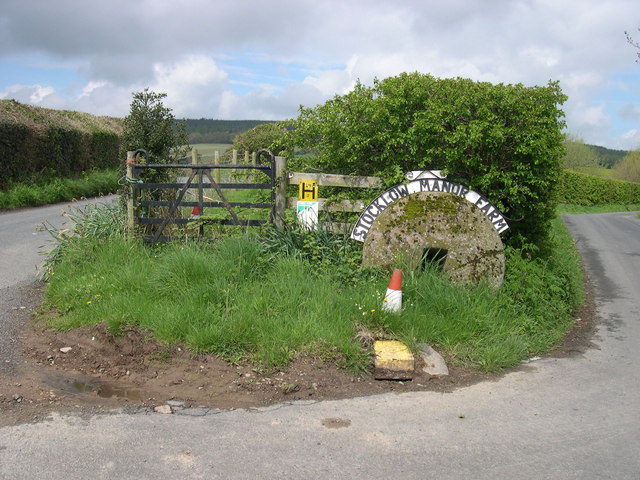
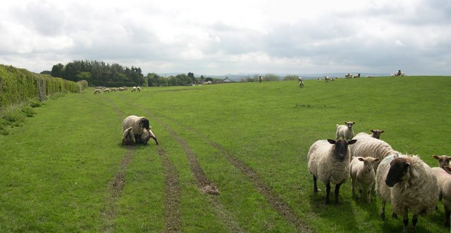
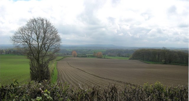
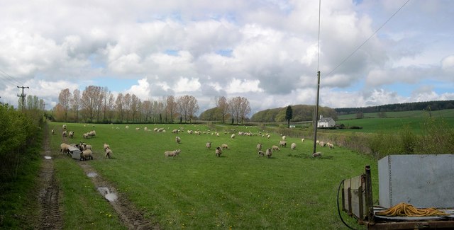
For nature enthusiasts, Staunton on Arrow offers plenty of options to explore the great outdoors. The village is surrounded by rolling hills, meandering rivers, and charming woodland areas, making it an ideal destination for hiking, cycling, or simply enjoying a leisurely stroll.

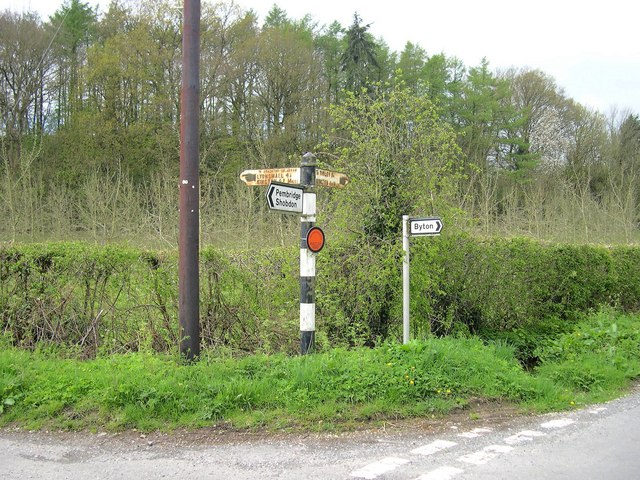
Additionally, Staunton on Arrow is ideally located for those seeking to explore the wider Herefordshire area. The nearby market town of Leominster is just a short drive away, offering a range of shops, restaurants, and cultural attractions.

All in all, Staunton on Arrow is a hidden gem within Herefordshire, offering a peaceful and picturesque setting, rich history, and easy access to the natural beauty of the surrounding countryside.

If you have any feedback on the listing, please let us know in the comments section below.

Staunton on Arrow Images

Images are sourced within 2km of 52.238269/-2.9271336 or Grid Reference SO3660. Thanks to Geograph Open Source API. All images are credited.

Staunton on Arrow Parish Church The elevation of the church shown lies within the grid square, but part of the church building lies within the adjacent square SO3760.
Staunton on Arrow Parish Church
The elevation of the church shown lies within the grid square, but part of the church building lies within the adjacent square SO3760.
Road from Milton Cross to Stockley Cross
Ploughed field, Staunton Newly cultivated field just outside Staunton on Arrow.
Ploughed field, Staunton
Newly cultivated field just outside Staunton on Arrow.
Winter crops, Staunton Cornfields east of the Shobdon-Lyonshall road.
Winter crops, Staunton
Cornfields east of the Shobdon-Lyonshall road.
Wapley Hill Fort And Walks
Entrance to Stocklow Manor Farm An old millstone and a traffic cone mark the entrance to this farm. Wild flowers grow from the top of the plastic cone.
Entrance to Stocklow Manor Farm
An old millstone and a traffic cone mark the entrance to this farm. Wild flowers grow from the top of the plastic cone.
Residents, Stocklow Manor Farm
Ploughed farmland below Wapley Hill Burton Hill above Weobley in the background.
Ploughed farmland below Wapley Hill
Burton Hill above Weobley in the background.
Sheep near Staunton Green
Dovecote, Staunton Park Six sided, I believe - I forgot to count. No roof, but the nesting holes were still occupied, as I found out when I ventured inside. Late 18th century, I would guess.
Dovecote, Staunton Park
Six sided, I believe - I forgot to count. No roof, but the nesting holes were still occupied, as I found out when I ventured inside. Late 18th century, I would guess.
West Lake, Staunton Park With Avenue Lodge peeking through the trees.
West Lake, Staunton Park
With Avenue Lodge peeking through the trees.
Signs Old and Quite New, Stockley Cross Cast iron signs from the early days of motoring, with some cheap and nasty modern additions.
Signs Old and Quite New, Stockley Cross
Cast iron signs from the early days of motoring, with some cheap and nasty modern additions.
The Green Farm, Staunton Green Seen from Staunton Park.
The Green Farm, Staunton Green
Seen from Staunton Park.
St Peter, Staunton on Arrow Newly built on an old site in 1856; architect Nicholson.
St Peter, Staunton on Arrow
Newly built on an old site in 1856; architect Nicholson.
Former School and School House, Staunton on Arrow Church of St Peter adjoins.
Former School and School House, Staunton on Arrow
Church of St Peter adjoins.
Cottages, Staunton on Arrow Next door to the old school.
Cottages, Staunton on Arrow
Next door to the old school.
Staunton park
Staunton park
Entrance to Staunton park
Show me another place!

Staunton on Arrow is located at Grid Ref: SO3660 (Lat: 52.238269, Lng: -2.9271336)

Unitary Authority: County of Herefordshire

Police Authority: West Mercia

What 3 Words

///slide.pleaser.always. Near Kinsham, Herefordshire

Nearby Locations

Staunton on Arrow Lee Wood

Related Wikis

Staunton on Arrow

Staunton on Arrow is a village and civil parish in the county of Herefordshire, England. The village is 17 miles (27 km) north-west of Hereford and 8 miles...

Marston Halt railway station

Marston Halt railway station was a station in Marston, Herefordshire, England. The station was opened in 1856 and closed in 1955. The station was located...

Pembridge railway station

Pembridge railway station was a station in Pembridge, Herefordshire, England. The station was opened in 1856 and closed in 1955. The station was located...

Forge Crossing Halt railway station

Forge Crossing Halt railway station was a station in Titley, Herefordshire, England. The station, on the Presteigne Branch Line of the Leominster and Kington...

Nearby Amenities

Located within 500m of 52.238269,-2.9271336
Staunton on Arrow
Is In: Herefordshire,England,UK
Place: village
Source: npe
Lat/Long: 52.2352223/-2.923864
Bus Stop
Church
Naptan AtcoCode: 2090A115300
Naptan Bearing: NW
Naptan CommonName: Church
Naptan Indicator: adj
Naptan Landmark: St Peter's Church
Naptan NaptanCode: heradptd
Naptan Street: N/A
Naptan Verified: no
Source: naptan_import
Lat/Long: 52.2355404/-2.9239262
Church
Naptan AtcoCode: 2090A18823
Naptan Bearing: SE
Naptan BusStopType: CUS
Naptan CommonName: Church
Naptan Indicator: opp
Naptan Landmark: N/K
Naptan NaptanCode: herajdwd
Naptan Street: N/K
Naptan Verified: no
Source: naptan_import
Lat/Long: 52.2354619/-2.923617
Generator Method: photovoltaic
Generator Output Electricity: yes
Generator Source: solar
Generator Type: solar_photovoltaic_panel
Location: ground
Power: generator
Lat/Long: 52.2371171/-2.9279476
Generator Method: photovoltaic
Generator Output Electricity: yes
Generator Source: solar
Generator Type: solar_photovoltaic_panel
Location: ground
Power: generator
Lat/Long: 52.2369906/-2.9279262
Generator Method: photovoltaic
Generator Output Electricity: yes
Generator Source: solar
Generator Type: solar_photovoltaic_panel
Location: ground
Power: generator
Lat/Long: 52.2370645/-2.927902
Turning Loop
Lat/Long: 52.2364783/-2.9327519
The data included in this document is from www.openstreetmap.org. The data is made available under ODbL.

Have you been to Staunton on Arrow?

Leave your review of Staunton on Arrow below (or comments, questions and feedback).