Rough Intake Coppice

Wood, Forest in Lancashire South Lakeland

England

Rough Intake Coppice

Path on Latterbarrow This is the path from Claife Heights, leading up the south ridge towards the summit of Latterbarrow.
Path on Latterbarrow Credit: Adrian Taylor

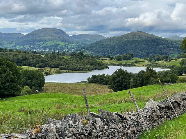
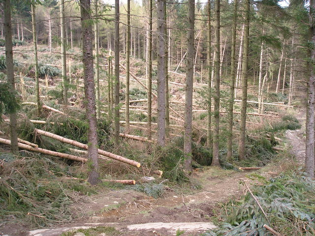
Rough Intake Coppice is a picturesque woodland located in the county of Lancashire, England. Situated in the western part of the county, the coppice is nestled within the larger area known as Rough Intake, near the village of Coppice. The woodland covers an area of approximately 10 hectares and is characterized by its dense growth of trees and diverse range of flora and fauna.

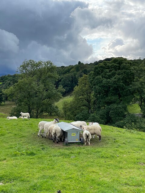
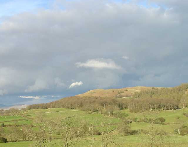
The coppice is primarily composed of deciduous trees, such as oak, birch, and beech, which form a dense canopy overhead, providing shelter and habitat for a variety of wildlife. The forest floor is covered in a carpet of leaf litter, supporting a rich understory of plants such as bluebells, wood anemones, and ferns.

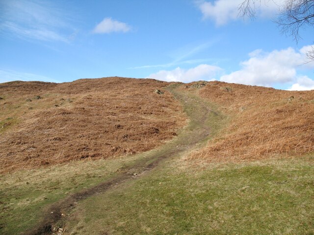
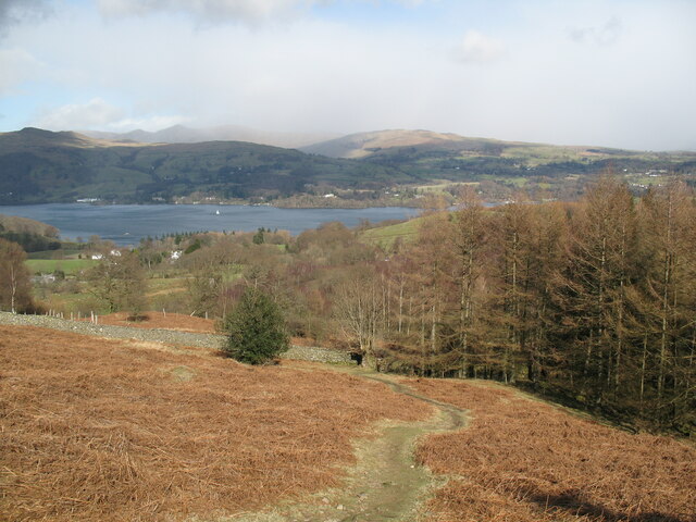
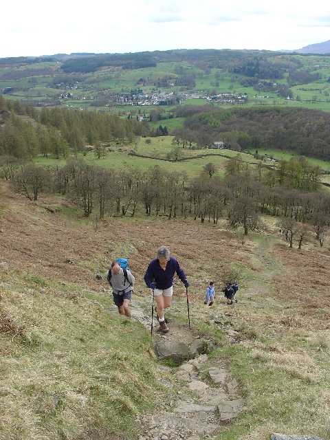
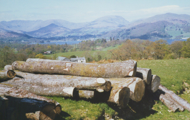
Visitors to Rough Intake Coppice can enjoy a peaceful and tranquil environment, perfect for nature walks and exploration. The woodland is crisscrossed by a network of well-maintained footpaths that lead visitors through the different sections of the forest. These paths offer opportunities to observe and appreciate the diverse range of wildlife that call the coppice their home, including birds, small mammals, and insects.

Rough Intake Coppice is also a popular destination for birdwatching enthusiasts, as it attracts a variety of bird species throughout the year. Visitors may catch a glimpse of woodpeckers, nuthatches, and various species of warblers as they explore the woodland.

Overall, Rough Intake Coppice in Lancashire offers a charming and serene natural retreat, providing visitors with an opportunity to connect with nature and enjoy the beauty of the countryside.

If you have any feedback on the listing, please let us know in the comments section below.

Rough Intake Coppice Images

Images are sourced within 2km of 54.395129/-2.9864418 or Grid Reference NY3600. Thanks to Geograph Open Source API. All images are credited.

Path on Latterbarrow This is the path from Claife Heights, leading up the south ridge towards the summit of Latterbarrow.
Path on Latterbarrow
This is the path from Claife Heights, leading up the south ridge towards the summit of Latterbarrow.
OS Cut Mark - High Wray, Beyond Fields Fm, Outbuilding <span class="nowrap"><a title="https://www.bench-marks.org.uk/bm56690" rel="nofollow ugc noopener" href="https://www.bench-marks.org.uk/bm56690">Link</a><img style="margin-left:2px;" alt="External link" title="External link - shift click to open in new window" src="https://s1.geograph.org.uk/img/external.png" width="10" height="10"/></span>
OS Cut Mark - High Wray, Beyond Fields Fm, Outbuilding
Path above Waterson Intake The path is the public footpath from Latterbarrow to High Wray.
Windermere is in the middle distance and there is a snow shower over the Kentmere Fells.
Path above Waterson Intake
The path is the public footpath from Latterbarrow to High Wray. Windermere is in the middle distance and there is a snow shower over the Kentmere Fells.
Wall and fields above Blelham Tarn
Farmland near Outgate The distant hill is Latterbarrow.
Farmland near Outgate
The distant hill is Latterbarrow.
Dinner time! An evening meal for these sheep near Outgate.
Dinner time!
An evening meal for these sheep near Outgate.
Outgate Inn Public house & restaurant in Outgate
Outgate Inn
Public house & restaurant in Outgate
Hawkshead Village Centre: Cumbria The view in this picture shows the road into the village square. The village square is located in the south western corner of the square.
Hawkshead Village Centre: Cumbria
The view in this picture shows the road into the village square. The village square is located in the south western corner of the square.
Hawkshead A traditional Lake District village with lots of facilities for the surrounding rural community
Hawkshead
A traditional Lake District village with lots of facilities for the surrounding rural community
Western Slopes of Latterbarrow, Near Hawkshead, Cumbria This grid square is dominated by the small hill of Latterbarrow. The photo shows a group of walkers ascending Latterbarrow from the west.
In the background, the small town of Hawkshead can be seen.
Western Slopes of Latterbarrow, Near Hawkshead, Cumbria
This grid square is dominated by the small hill of Latterbarrow. The photo shows a group of walkers ascending Latterbarrow from the west. In the background, the small town of Hawkshead can be seen.
Latterbarrow. View from Hawkshead Latterbarrow is a local viewpoint for the village of Hawkshead. Accessible by foot after a short walk, the views from the top are excellent in almost 360 degrees. On a good day the Howgills can be seen.
Latterbarrow. View from Hawkshead
Latterbarrow is a local viewpoint for the village of Hawkshead. Accessible by foot after a short walk, the views from the top are excellent in almost 360 degrees. On a good day the Howgills can be seen.
Summit of Latterbarrow
Hawkshead The Hawkshead shop - Hawkshead
Hawkshead
The Hawkshead shop - Hawkshead
Storm damage
Storm damage
log pile near High Wray A pile of logs left just below the woodland above High Wray, view towards the north end of Windermere.
log pile near High Wray
A pile of logs left just below the woodland above High Wray, view towards the north end of Windermere.
Sheep herding, High Wray
Outgate Another example of slate being used for fencing.These days I imagine posts and wire may be cheaper but not as pretty or long lasting as slate.
Outgate
Another example of slate being used for fencing.These days I imagine posts and wire may be cheaper but not as pretty or long lasting as slate.
Outgate Inn At Outgate. Sad to see the Hartleys sign as I have still not got over the Brewery being taken over by Robinson's many years ago. Hartleys Bitter (they no longer brew ordinary Bitter) was nectar of the gods when originally brewed in Ulverston. Traditional Lakeland beer brewed in Manchester? Well I suppose they took the water first.
Outgate Inn
At Outgate. Sad to see the Hartleys sign as I have still not got over the Brewery being taken over by Robinson's many years ago. Hartleys Bitter (they no longer brew ordinary Bitter) was nectar of the gods when originally brewed in Ulverston. Traditional Lakeland beer brewed in Manchester? Well I suppose they took the water first.
Show me another place!

Rough Intake Coppice is located at Grid Ref: NY3600 (Lat: 54.395129, Lng: -2.9864418)

Administrative County: Cumbria

District: South Lakeland

Police Authority: Cumbria

What 3 Words

///hurry.banana.flagpole. Near Ambleside, Cumbria

Related Wikis

Blelham Tarn

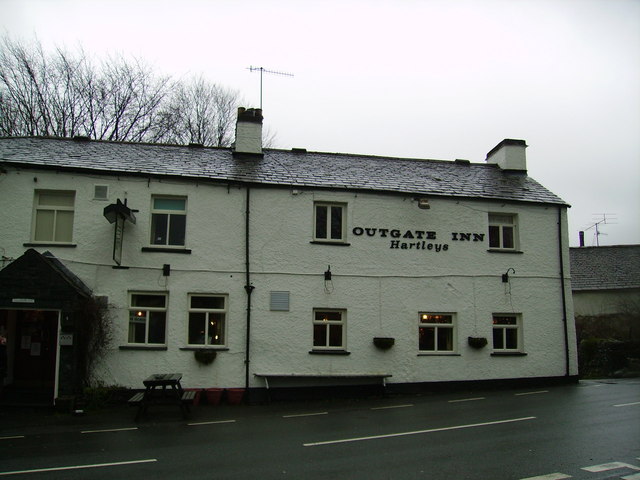
Blelham Tarn is a large valley tarn in the Lake District of England, to the north of the hill Latterbarrow. The settlements of Outgate, Low Wray and High...

Latterbarrow

Latterbarrow is a hill in the English Lake District, east of Hawkshead, Cumbria. It is the subject of a chapter of Wainwright's book The Outlying Fells...

RMS Wray Castle

RMS Wray Castle was a training college for Merchant Navy radio officers based at Wray Castle in the Lake District, from 1958 to 1998.At 11:40 p.m., on...
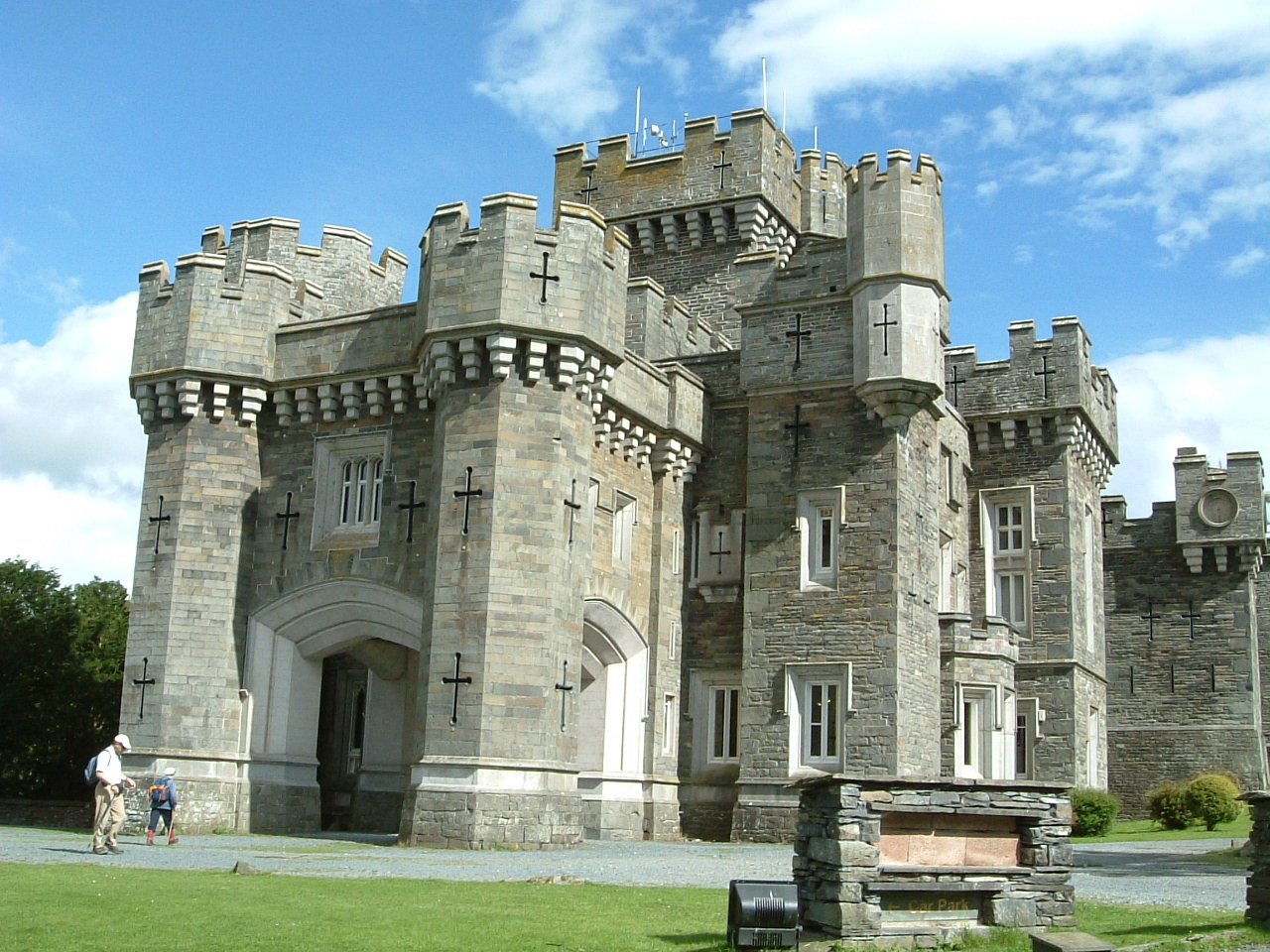
Wray Castle

Wray Castle is a Victorian neo-gothic building at Claife in Cumbria within the boundaries of the historic county of Lancashire. The house and grounds have...

Nearby Amenities

Located within 500m of 54.395129,-2.9864418
Source: Landsat photo
Lat/Long: 54.3938811/-2.9825592
Source: Landsat photo
Lat/Long: 54.3947681/-2.9818511
Source: Landsat photo
Lat/Long: 54.3949929/-2.9814434
Source: Landsat photo
Lat/Long: 54.3951054/-2.9811001
Source: Landsat photo
Lat/Long: 54.3953177/-2.9806924
Source: Landsat photo
Lat/Long: 54.3955176/-2.9797053
Source: Landsat photo
Lat/Long: 54.3945807/-2.9790616
Source: Landsat photo
Lat/Long: 54.3938311/-2.9807568
Ford: yes
Lat/Long: 54.3970492/-2.9814482
Parking
Lat/Long: 54.3941994/-2.9934344
Power: pole
Lat/Long: 54.3909117/-2.9866802
Power: pole
Lat/Long: 54.3911318/-2.9852773
Power: pole
Lat/Long: 54.3911702/-2.9840348
The data included in this document is from www.openstreetmap.org. The data is made available under ODbL.

Have you been to Rough Intake Coppice?

Leave your review of Rough Intake Coppice below (or comments, questions and feedback).