Larch Plantation
Wood, Forest in Herefordshire
England
Larch Plantation
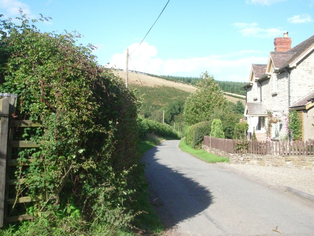
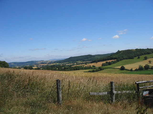
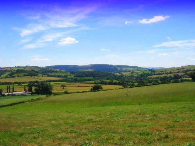
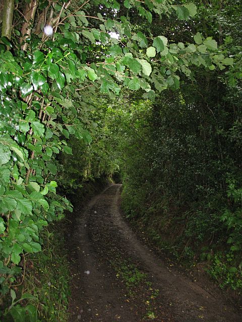
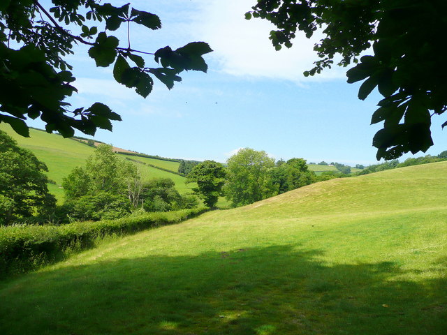
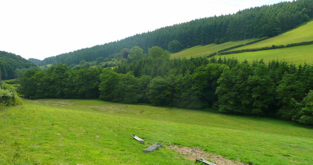
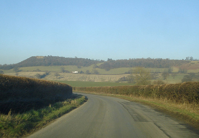
Larch Plantation is a picturesque woodland located in the county of Herefordshire, England. It is a vast expanse of larch trees, covering an area of approximately 100 acres. This woodland is renowned for its stunning natural beauty and is a popular destination for nature enthusiasts and hikers.
The plantation is primarily composed of larch trees, which are known for their tall stature and slender trunks. Larch trees are coniferous and have needle-like leaves that turn a vibrant golden color in autumn, creating a breathtaking spectacle. The plantation is particularly enchanting during this season, attracting visitors from far and wide.
The woodland is home to a diverse range of wildlife, including various bird species, small mammals, and insects. Birdwatchers can spot a variety of species, such as woodpeckers, owls, and finches, making it a haven for bird lovers.
Larch Plantation offers a network of well-maintained trails, providing visitors with the opportunity to explore the woodland at their own pace. These trails wind through the lush forest, offering glimpses of cascading streams, tranquil ponds, and meadows filled with wildflowers.
For those seeking solitude or a peaceful retreat, Larch Plantation provides secluded spots where visitors can relax, meditate, or simply enjoy the serenity of nature. The plantation also boasts a designated picnic area, allowing visitors to enjoy a delightful outdoor meal amidst the tranquil surroundings.
Overall, Larch Plantation in Herefordshire is a captivating woodland that offers a delightful escape into nature. With its towering larch trees, vibrant autumn colors, and abundant wildlife, it is a must-visit destination for anyone seeking a serene and rejuvenating experience.
If you have any feedback on the listing, please let us know in the comments section below.
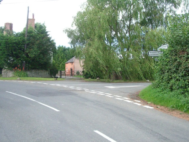
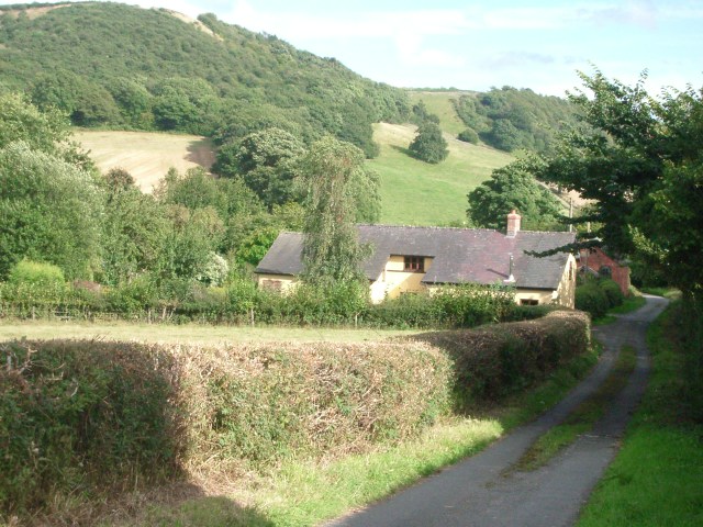
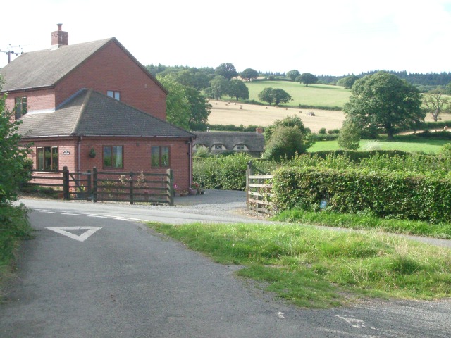
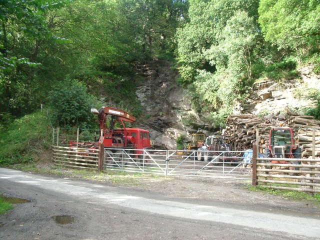
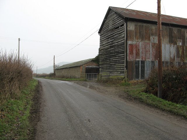
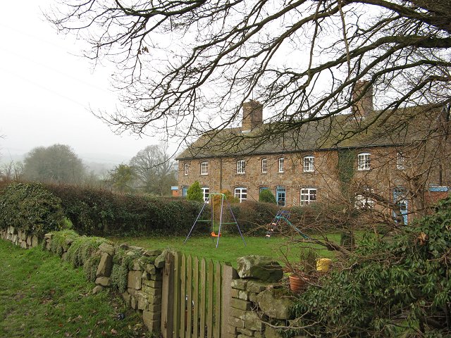
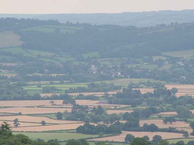
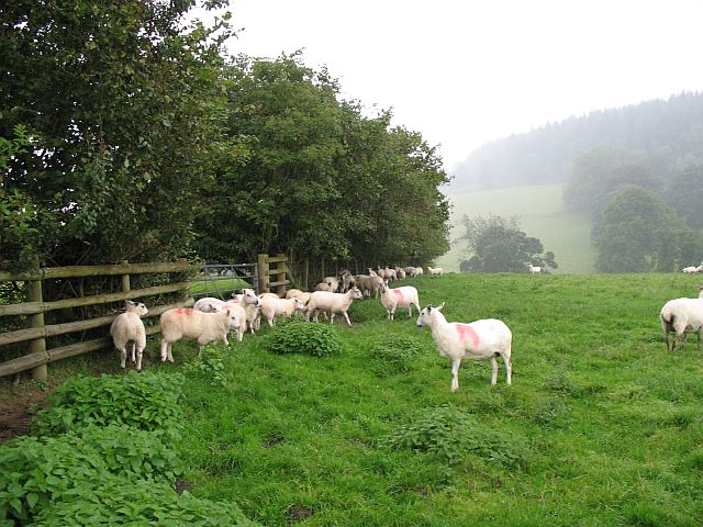
Larch Plantation Images
Images are sourced within 2km of 52.317071/-2.9420274 or Grid Reference SO3569. Thanks to Geograph Open Source API. All images are credited.


Larch Plantation is located at Grid Ref: SO3569 (Lat: 52.317071, Lng: -2.9420274)
Unitary Authority: County of Herefordshire
Police Authority: West Mercia
What 3 Words
///swarm.fidgeting.mixers. Near Lingen, Herefordshire
Nearby Locations
Related Wikis

Birtley, Herefordshire
Birtley is a hamlet in north Herefordshire, in England. It is situated to the west of Ludlow and Leominster, approximately 16 km (9.9 mi) from both towns...
Lingen, Herefordshire
Lingen is a village and civil parish, situated in the wooded hills of Herefordshire, England in the Welsh Marches near to the border with Wales and close...
Willey, Herefordshire
Willey is a civil parish in Herefordshire, on the Welsh-English borders. The main source of employment is farming and there were a total of 61 residents...
Stapleton, Herefordshire
Stapleton is a small village and civil parish in Herefordshire near the border town of Presteigne in Wales. The parish borders on Willey, Kinsham and Presteigne...
Limebrook Priory
Limebrook Priory was a priory in Lingen, Herefordshire, England at grid reference SO37386604. == History == === Origins === Situated in Lingen, Herefordshire...
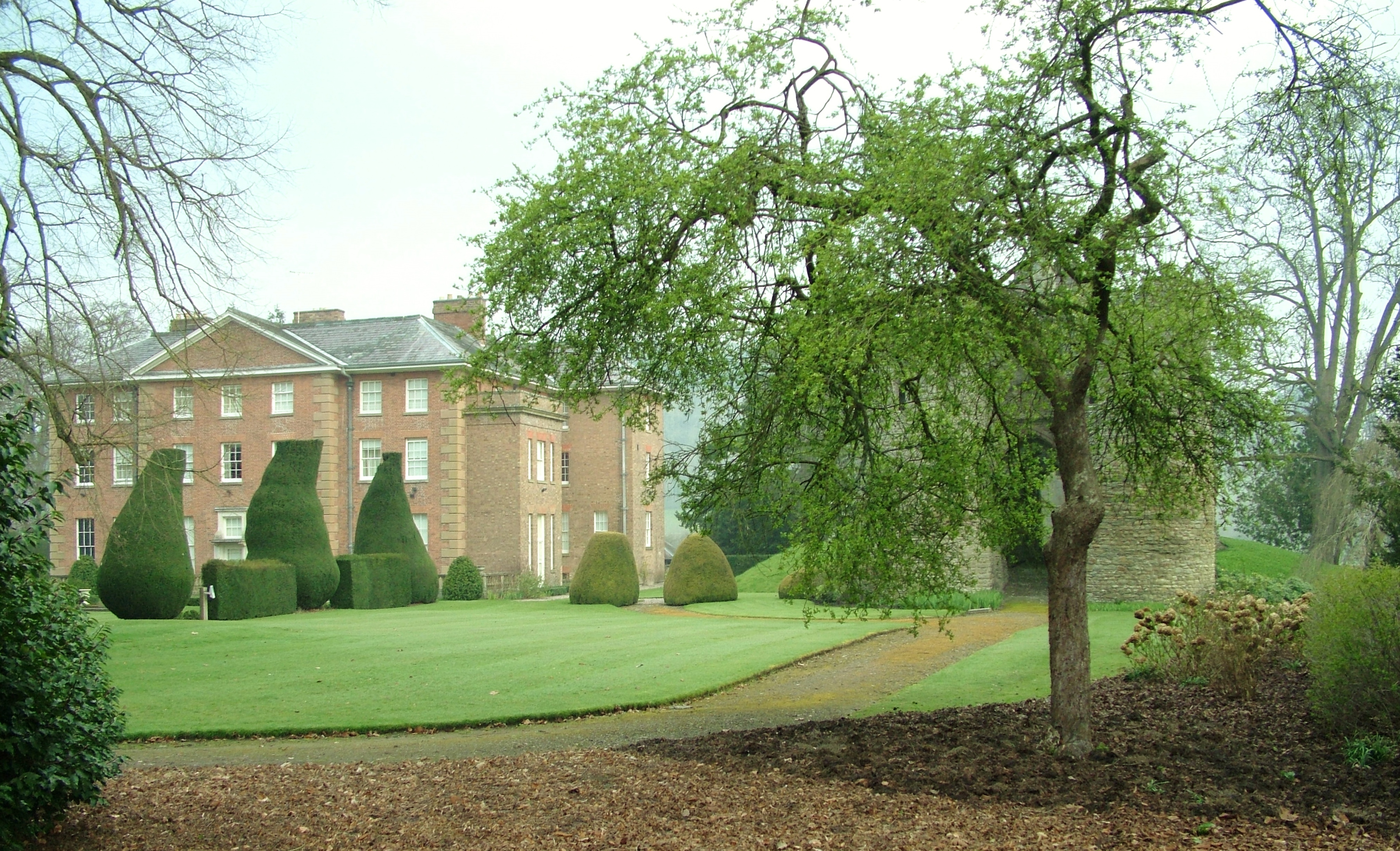
Brampton Bryan Hall
Brampton Bryan Hall is a 17th-century English country house in the village of Brampton Bryan, Herefordshire. It is still owned by the descendants of Robert...

Brampton Bryan Castle
Brampton Bryan Castle is a ruined medieval castle in the small village of Brampton Bryan in north-western Herefordshire, England, 50m south of the River...

Stanage Park
Stanage Park is a Grade II* listed Welsh country house set in a large park located some 3 miles (4.8 km) east of Knighton, Powys near the settlement of...
Nearby Amenities
Located within 500m of 52.317071,-2.9420274Have you been to Larch Plantation?
Leave your review of Larch Plantation below (or comments, questions and feedback).