Cwm-Crave Wood
Wood, Forest in Herefordshire
England
Cwm-Crave Wood
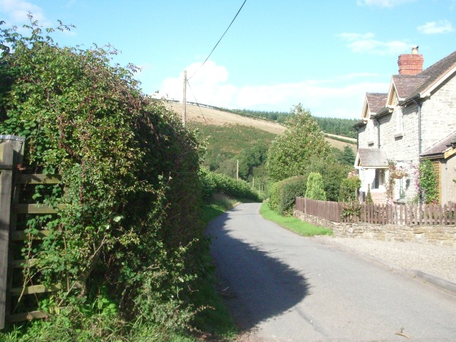
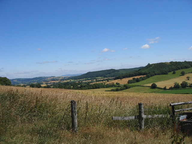
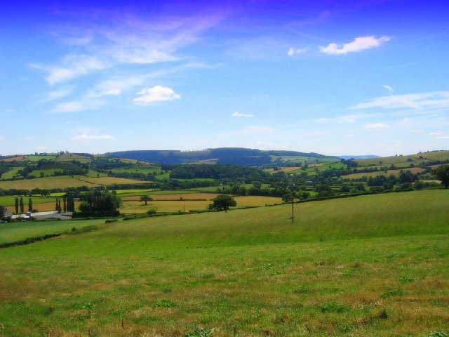
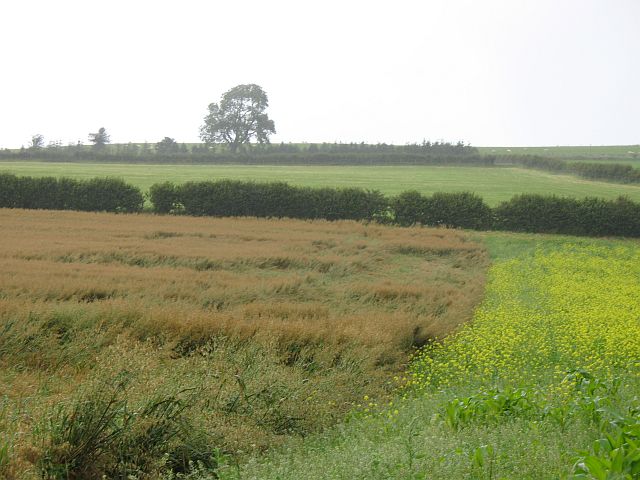
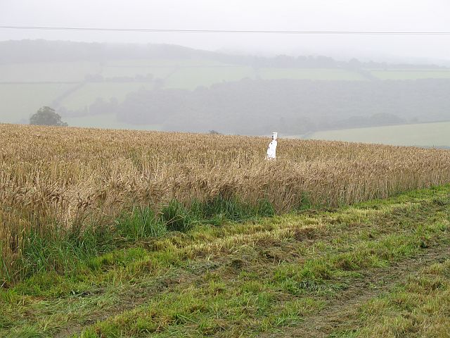
Cwm-Crave Wood, located in Herefordshire, is a captivating woodland that covers an area of approximately 40 hectares. This ancient wood, also known as Cwmcraw Wood, is situated near the village of Craswall and lies within the stunning surroundings of the Black Mountains. The wood is part of the larger Cwmcraw Hill Site of Special Scientific Interest (SSSI), which encompasses both the woodland and the hillside.
Cwm-Crave Wood boasts an impressive diversity of tree species, including oak, beech, birch, ash, and rowan. These towering trees create a dense canopy, casting dappled sunlight on the forest floor. The woodland is home to a variety of flora and fauna, such as bluebells, wood anemones, and wood sorrel, which flourish in the damp and sheltered environment.
This wood is a haven for wildlife, providing a habitat for numerous bird species, including woodpeckers, nuthatches, and tawny owls. Small mammals, such as foxes, badgers, and squirrels, can also be found scurrying through the undergrowth. Additionally, Cwm-Crave Wood is known for its rich insect population, attracting butterflies, beetles, and dragonflies.
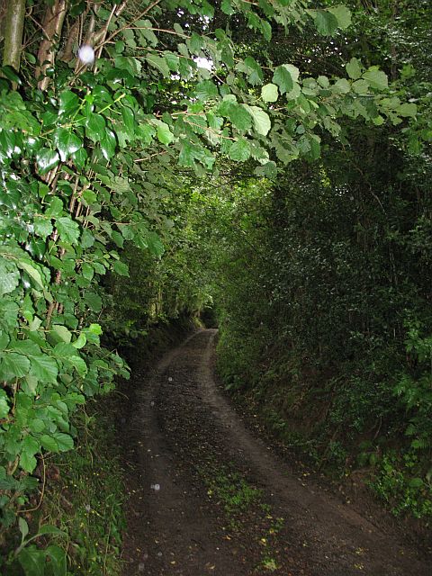
The wood is crisscrossed by a network of footpaths, allowing visitors to explore its enchanting beauty. Walking through Cwm-Crave Wood offers a tranquil and immersive experience, with the soothing sounds of birdsong and the fragrant scent of wildflowers filling the air.
Cwm-Crave Wood is not only a picturesque location but also an important ecological site, contributing to the preservation of Herefordshire's natural heritage.
If you have any feedback on the listing, please let us know in the comments section below.
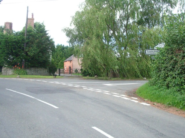
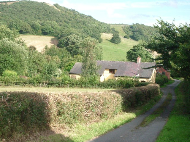
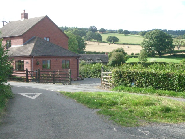
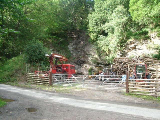
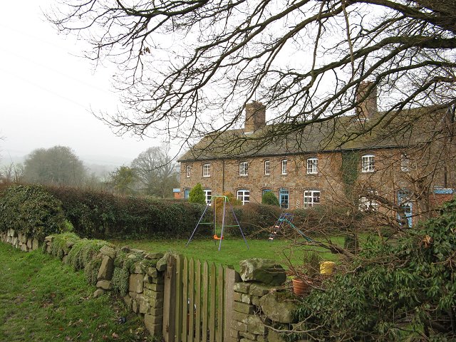
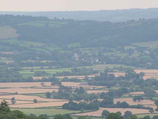
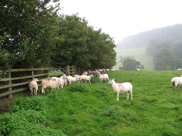
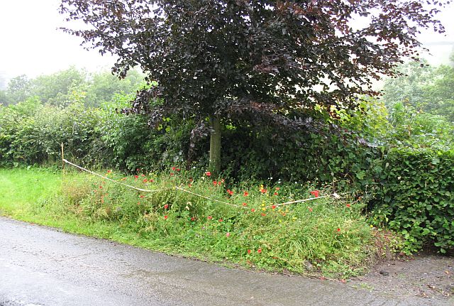
Cwm-Crave Wood Images
Images are sourced within 2km of 52.315865/-2.9466376 or Grid Reference SO3569. Thanks to Geograph Open Source API. All images are credited.
Cwm-Crave Wood is located at Grid Ref: SO3569 (Lat: 52.315865, Lng: -2.9466376)
Unitary Authority: County of Herefordshire
Police Authority: West Mercia
What 3 Words
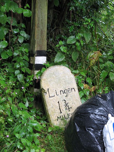
///nips.explain.agent. Near Lingen, Herefordshire
Nearby Locations
Related Wikis

Birtley, Herefordshire
Birtley is a hamlet in north Herefordshire, in England. It is situated to the west of Ludlow and Leominster, approximately 16 km (9.9 mi) from both towns...
Willey, Herefordshire
Willey is a civil parish in Herefordshire, on the Welsh-English borders. The main source of employment is farming and there were a total of 61 residents...
Lingen, Herefordshire
Lingen is a village and civil parish, situated in the wooded hills of Herefordshire, England in the Welsh Marches near to the border with Wales and close...
Stapleton, Herefordshire
Stapleton is a small village and civil parish in Herefordshire near the border town of Presteigne in Wales. The parish borders on Willey, Kinsham and Presteigne...

Stanage Park
Stanage Park is a Grade II* listed Welsh country house set in a large park located some 3 miles (4.8 km) east of Knighton, Powys near the settlement of...
Limebrook Priory
Limebrook Priory was a priory in Lingen, Herefordshire, England at grid reference SO37386604. == History == === Origins === Situated in Lingen, Herefordshire...
Brampton Bryan Hall
Brampton Bryan Hall is a 17th-century English country house in the village of Brampton Bryan, Herefordshire. It is still owned by the descendants of Robert...

Brampton Bryan Castle
Brampton Bryan Castle is a ruined medieval castle in the small village of Brampton Bryan in north-western Herefordshire, England, 50m south of the River...
Nearby Amenities
Located within 500m of 52.315865,-2.9466376Have you been to Cwm-Crave Wood?
Leave your review of Cwm-Crave Wood below (or comments, questions and feedback).