Birks Wood
Wood, Forest in Cumberland Carlisle
England
Birks Wood

Birks Wood, located in the county of Cumberland, is a picturesque forest that spans over a vast area of land. Nestled in the heart of the British countryside, this woodland is renowned for its natural beauty and diverse ecosystem. Its tranquil environment makes it a popular destination for nature enthusiasts and hikers alike.
The wood boasts a rich variety of tree species, including towering oaks, graceful birches, and majestic beech trees. These trees provide a dense canopy that casts enchanting shadows on the forest floor, creating a surreal atmosphere. The woodland is also home to an array of vibrant wildflowers, adding bursts of color to the landscape during the spring and summer months.
As visitors explore Birks Wood, they may stumble upon a variety of wildlife that call this place their home. Squirrels can be seen darting between the trees, while birds, such as woodpeckers and thrushes, fill the air with their melodious songs. Occasionally, lucky observers may even catch sight of a deer or a fox, adding to the sense of wonder and enchantment.
For those seeking solitude and tranquility, Birks Wood offers several walking trails that wind through the forest, allowing visitors to immerse themselves in the natural splendor. These paths are well-maintained and offer stunning viewpoints that overlook the surrounding countryside.
Birks Wood in Cumberland is a haven of natural beauty, offering a serene retreat from the hustle and bustle of everyday life. Whether one seeks solace, adventure, or simply a connection with nature, this woodland provides an unforgettable experience for all who venture within its boundaries.
If you have any feedback on the listing, please let us know in the comments section below.
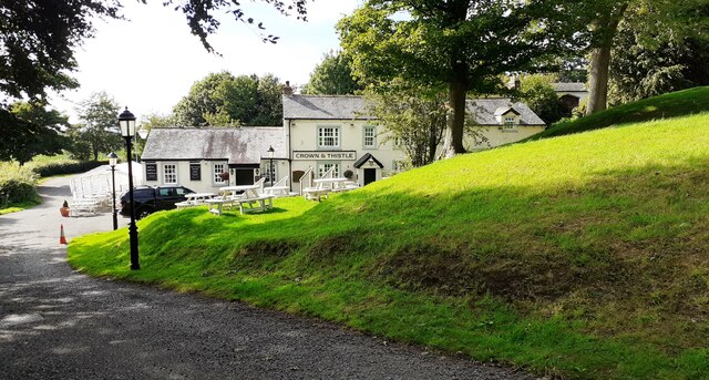
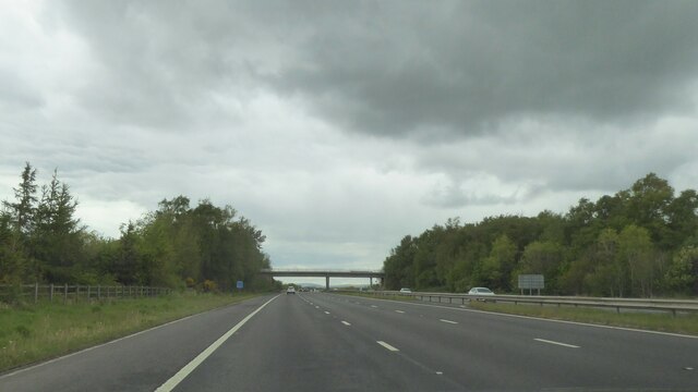
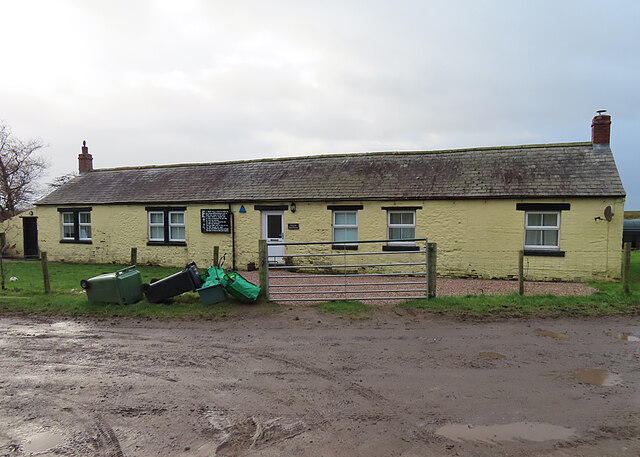
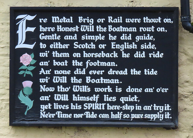
Birks Wood Images
Images are sourced within 2km of 54.955612/-3.010074 or Grid Reference NY3562. Thanks to Geograph Open Source API. All images are credited.


Birks Wood is located at Grid Ref: NY3562 (Lat: 54.955612, Lng: -3.010074)
Administrative County: Cumbria
District: Carlisle
Police Authority: Cumbria
What 3 Words
///frog.soaks.oxidation. Near Gretna, Dumfries & Galloway
Related Wikis

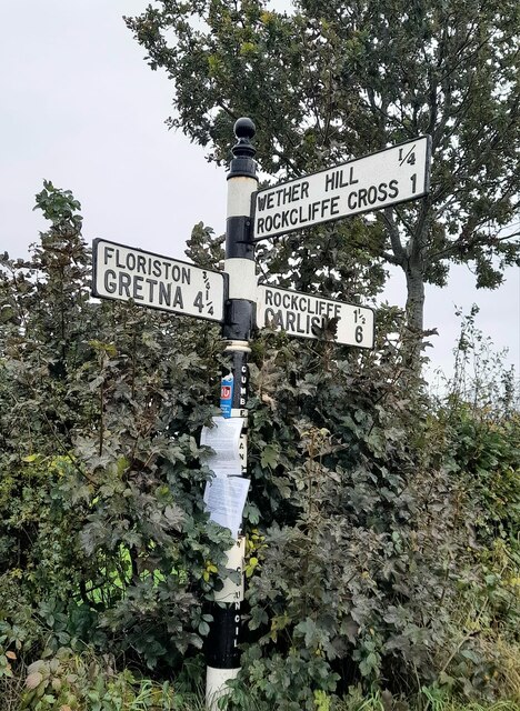
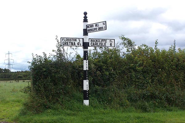
Rockcliffe Cross
Rockcliffe Cross is a village in the parish of Rockcliffe, in the City of Carlisle district of the county of Cumbria, England. == Location == It is located...

Rockcliffe, Cumbria
Rockcliffe is a village and civil parish in the City of Carlisle district of Cumbria, England. Part of the parish is a marshy peninsula between the mouths...

Floriston railway station
Floriston railway station was a station which served the rural area around Floristonrigg, Rockcliffe Parish, south of Gretna in the English county of Cumberland...

Todhills, Cumbria
Todhills is a small village on the outskirts of Carlisle, Cumbria, England. The village's name is from Old English tota-hyll "look-out hill". Located north...

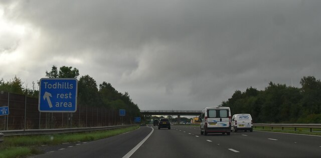
Todhills Rest Area
Todhills Rest Area is a rest area in between Junctions 44 and 45 of the M6 motorway in England. It is the last Services northbound on the M6 and the first...

Metal Bridge, Cumbria
Metal Bridge is a small settlement in Cumbria, England between Carlisle and Gretna, formerly on the main A74 road. The settlement consists of a few properties...

Rockcliffe railway station
Rockcliffe railway station, later Rockcliffe Halt was a station which served the rural area around Rockcliffe, Rockcliffe parish, north of Carlisle in...

River Lyne
The River Lyne is a river of Cumbria in England. The river is formed near the hamlet of Stapleton, five miles west of Bewcastle, by the confluence of the...
Nearby Amenities
Located within 500m of 54.955612,-3.010074Have you been to Birks Wood?
Leave your review of Birks Wood below (or comments, questions and feedback).