Laird's Plantation
Wood, Forest in Cumberland Carlisle
England
Laird's Plantation

Laird's Plantation, Cumberland (Wood, Forest) is a renowned plantation located in Cumberland, England. Spread over a vast area of land, this plantation is known for its rich biodiversity and lush greenery.
The plantation is home to a wide variety of flora and fauna, making it a haven for nature enthusiasts and researchers alike. The dense forest cover provides a suitable habitat for various species of trees, including oak, birch, and pine. These trees not only add to the beauty of the plantation but also contribute to the overall ecological balance of the area.
Visitors to Laird's Plantation can explore the numerous walking trails that wind through the forest, offering breathtaking views of the surrounding landscape. These trails are well-maintained and provide an opportunity to observe wildlife, such as deer, squirrels, and a variety of bird species. It is not uncommon to spot rare and endangered species in this plantation, making it an important conservation area.
Apart from its natural beauty, Laird's Plantation also holds historical significance. It is believed that the plantation was established in the 18th century and played a crucial role in the timber industry during that time. The remnants of old logging operations can still be seen in some parts of the plantation, adding to its charm and historical appeal.
Overall, Laird's Plantation, Cumberland (Wood, Forest) is a captivating destination that offers a unique blend of natural beauty, biodiversity, and historical significance. It continues to attract visitors from all over the world, providing them with an opportunity to immerse themselves in the wonders of nature.
If you have any feedback on the listing, please let us know in the comments section below.
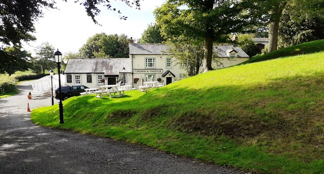
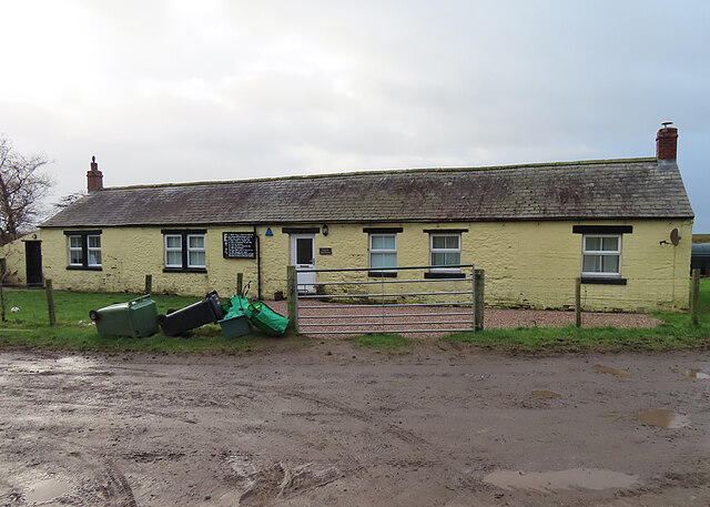
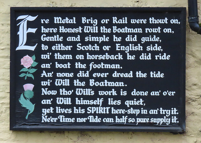
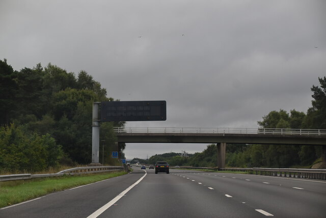
Laird's Plantation Images
Images are sourced within 2km of 54.953704/-3.0147263 or Grid Reference NY3562. Thanks to Geograph Open Source API. All images are credited.


Laird's Plantation is located at Grid Ref: NY3562 (Lat: 54.953704, Lng: -3.0147263)
Administrative County: Cumbria
District: Carlisle
Police Authority: Cumbria
What 3 Words
///bulges.published.moves. Near Gretna, Dumfries & Galloway
Related Wikis

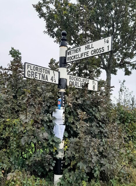
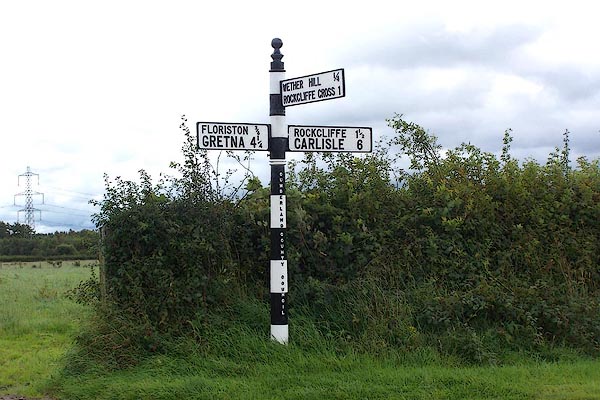
Rockcliffe Cross
Rockcliffe Cross is a village in the parish of Rockcliffe, in the City of Carlisle district of the county of Cumbria, England. == Location == It is located...

Rockcliffe, Cumbria
Rockcliffe is a village and civil parish in the City of Carlisle district of Cumbria, England. Part of the parish is a marshy peninsula between the mouths...

Floriston railway station
Floriston railway station was a station which served the rural area around Floristonrigg, Rockcliffe Parish, south of Gretna in the English county of Cumberland...

Todhills, Cumbria
Todhills is a small village on the outskirts of Carlisle, Cumbria, England. The village's name is from Old English tota-hyll "look-out hill". Located north...

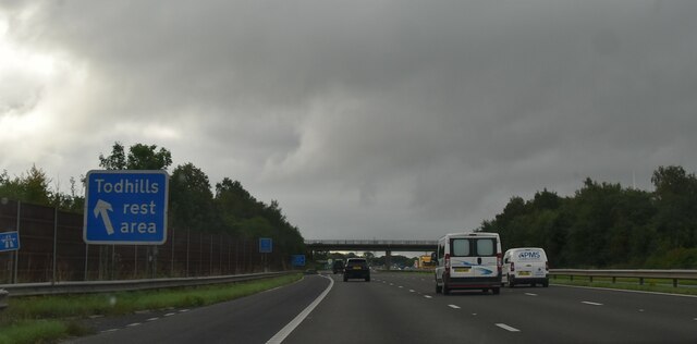
Todhills Rest Area
Todhills Rest Area is a rest area in between Junctions 44 and 45 of the M6 motorway in England. It is the last Services northbound on the M6 and the first...

Metal Bridge, Cumbria
Metal Bridge is a small settlement in Cumbria, England between Carlisle and Gretna, formerly on the main A74 road. The settlement consists of a few properties...

Rockcliffe railway station
Rockcliffe railway station, later Rockcliffe Halt was a station which served the rural area around Rockcliffe, Rockcliffe parish, north of Carlisle in...

River Lyne
The River Lyne is a river of Cumbria in England. The river is formed near the hamlet of Stapleton, five miles west of Bewcastle, by the confluence of the...
Nearby Amenities
Located within 500m of 54.953704,-3.0147263Have you been to Laird's Plantation?
Leave your review of Laird's Plantation below (or comments, questions and feedback).