Hill's Wood
Wood, Forest in Herefordshire
England
Hill's Wood
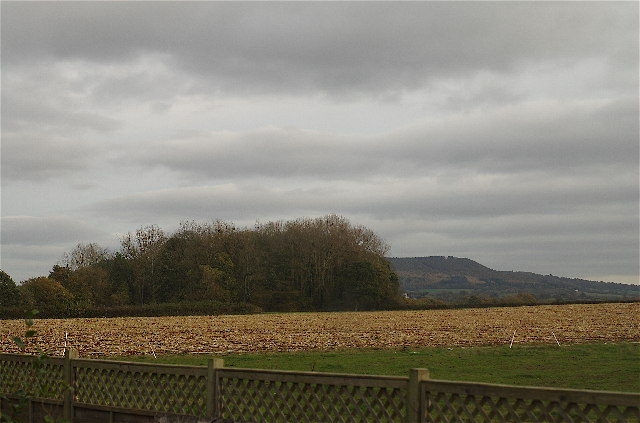
Hill's Wood is a picturesque woodland located in Herefordshire, a county in the West Midlands region of England. Covering an area of approximately 100 acres, it is known for its natural beauty, diverse wildlife, and tranquil atmosphere.
Situated on the slopes of a gently rolling hill, Hill's Wood boasts a variety of tree species, including oak, beech, and ash, which form a dense canopy overhead. The woodland floor is covered in a thick carpet of wildflowers, such as bluebells and primroses, adding splashes of color to the serene surroundings.
The wood is home to a rich array of wildlife, making it a haven for nature enthusiasts and birdwatchers. Visitors may spot a range of bird species, including woodpeckers, songbirds, and owls. Mammals such as deer, foxes, and squirrels can also be observed in their natural habitat.
Several walking trails wind through Hill's Wood, allowing visitors to explore the area at their own pace. The gentle slopes and well-maintained paths make it accessible to all, including families and those with limited mobility. The wood is also a popular spot for picnics, with designated areas offering stunning views of the surrounding countryside.
Managed by a local conservation organization, Hill's Wood is preserved and protected to maintain its ecological balance and natural beauty. It serves as an important site for biodiversity and provides a peaceful retreat for both locals and tourists seeking solace in nature.
If you have any feedback on the listing, please let us know in the comments section below.
Hill's Wood Images
Images are sourced within 2km of 52.135796/-2.9471248 or Grid Reference SO3549. Thanks to Geograph Open Source API. All images are credited.


Hill's Wood is located at Grid Ref: SO3549 (Lat: 52.135796, Lng: -2.9471248)
Unitary Authority: County of Herefordshire
Police Authority: West Mercia
What 3 Words
///groom.families.carbonate. Near Kinnersley, Herefordshire
Nearby Locations
Related Wikis

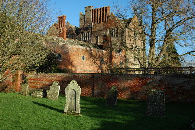
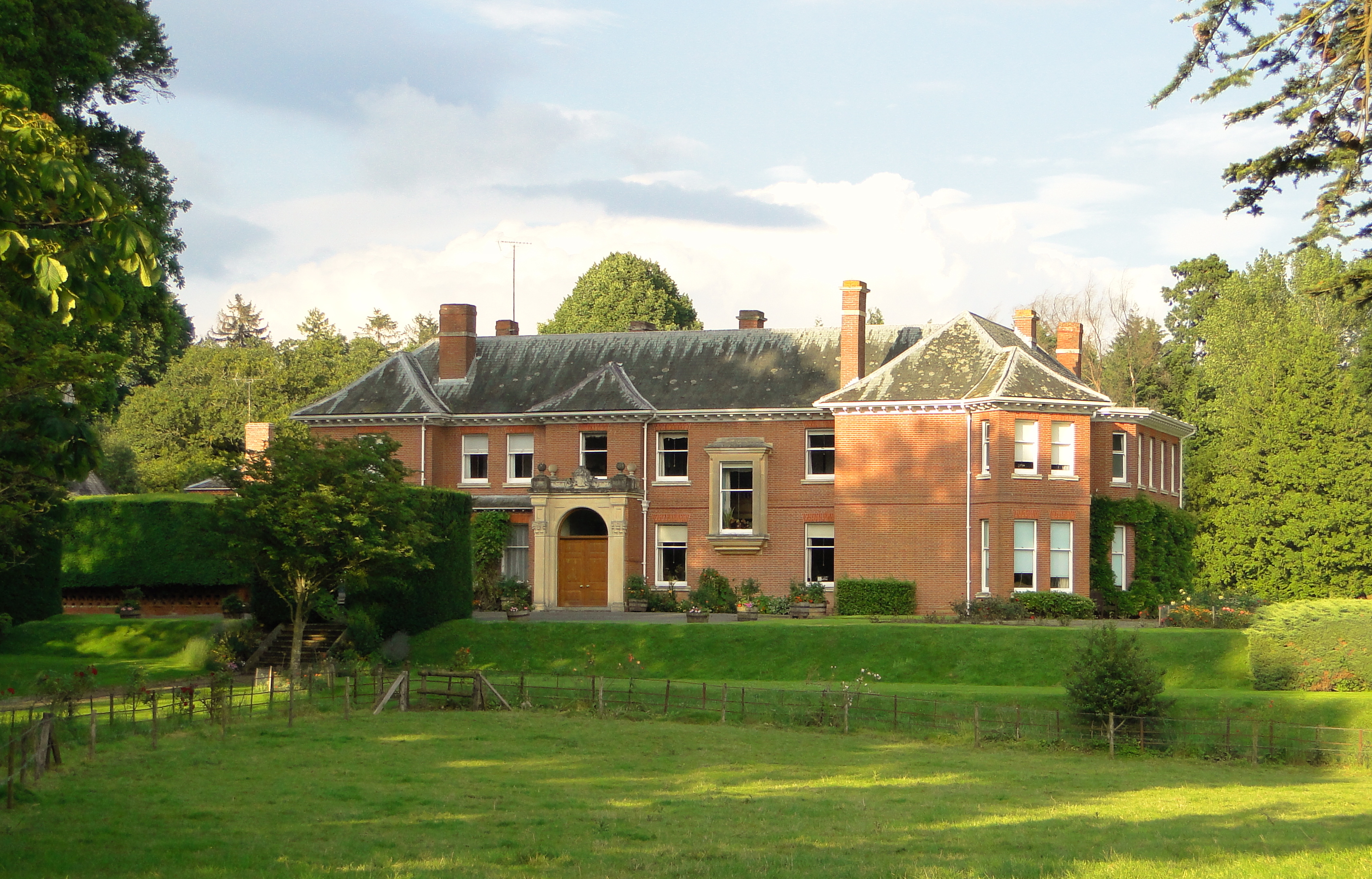
Kinnersley Castle
Kinnersley Castle in Herefordshire, England, is one of the many marches castles along the Welsh Borders. The Castle of Kinnersley, on the A4112 3 km (1...

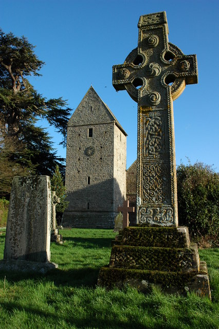
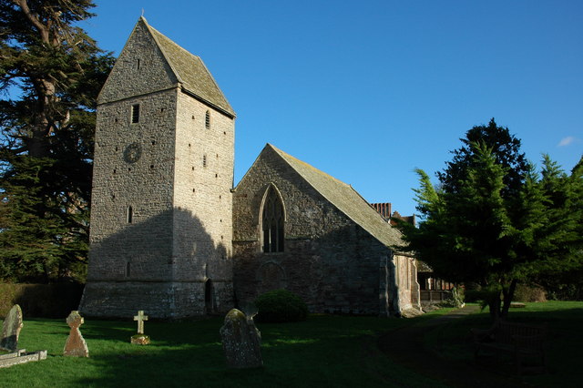
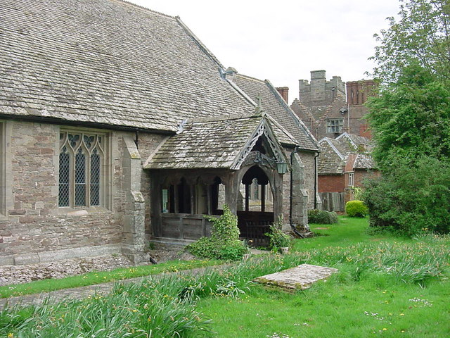
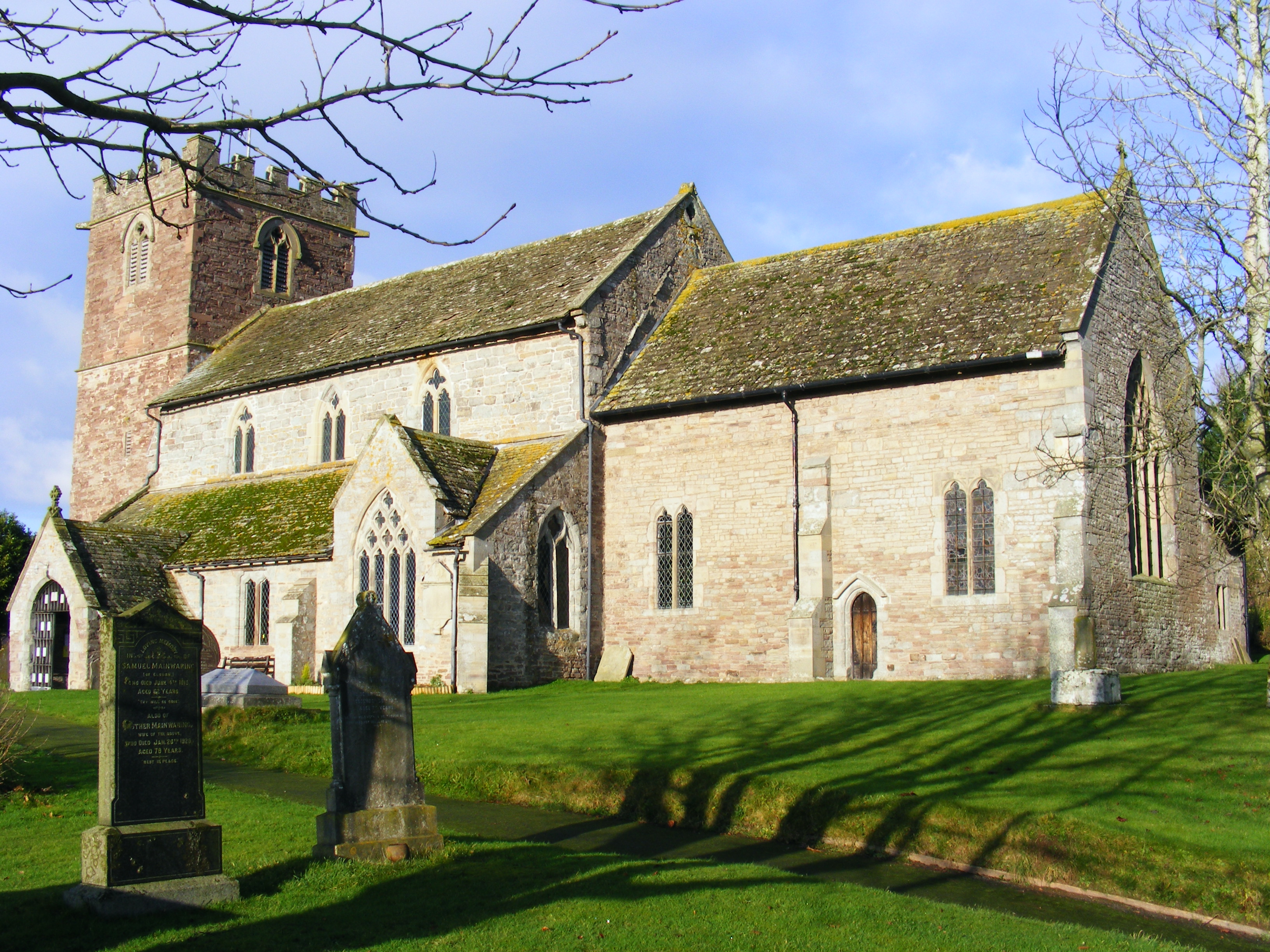
Church of St James, Kinnersley
The Church of St James is a Church of England parish church at Kinnersley in the English county of Herefordshire. It is a Grade I listed building. ��2...

Kinnersley railway station
Kinnersley railway station was a station in Kinnersley, Herefordshire, England. The station was opened in 1863 and closed in 1962. The station was located...
Kinnersley
Kinnersley is a village and civil parish in Herefordshire, England. The village is about 5 miles (8 km) east of the Wales-England border and 10 miles...

Sarnesfield
Sarnesfield (National Grid ref. SO374508) is a civil parish and village in Herefordshire, eleven miles north-west of Hereford. == Descent of the manor... ==
Letton, west Herefordshire
Letton is a village and civil parish in west Herefordshire, England, and is approximately 11 miles (20 km) west-northwest from the city and county town...
Almeley
Almeley (pronounced ) is a village and civil parish in Herefordshire, England. The civil parish includes the hamlets of Almeley Wooton and Upcott. The...

Norton Canon
Norton Canon is a village and civil parish in Herefordshire, England, near the A480 road and the B4230 road. The population at the 2011 Census was 242...
Nearby Amenities
Located within 500m of 52.135796,-2.9471248Have you been to Hill's Wood?
Leave your review of Hill's Wood below (or comments, questions and feedback).