Back Heights Wood
Wood, Forest in Lancashire South Lakeland
England
Back Heights Wood

Back Heights Wood is a picturesque forest located in the county of Lancashire, England. Covering an area of approximately 100 hectares, this woodland is a haven for nature enthusiasts and outdoor lovers alike.
The wood is characterized by its diverse range of flora and fauna, making it a thriving ecosystem. The forest is home to a variety of tree species, including oak, beech, birch, and ash, which create a dense canopy overhead, providing shade and shelter to the woodland floor below. The forest floor itself is adorned with a carpet of bluebells, wild garlic, and ferns, adding to the enchanting ambiance of the wood.
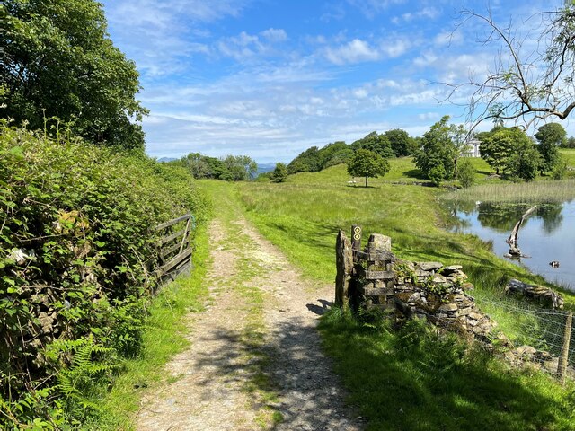
A network of well-maintained footpaths winds through the woodland, allowing visitors to explore its beauty at their own pace. The paths lead to hidden clearings, babbling brooks, and peaceful ponds, providing opportunities for quiet reflection and relaxation. The wood is also home to a rich array of wildlife, including deer, squirrels, foxes, and a vast array of bird species, making it a popular destination for birdwatchers and animal lovers.
Back Heights Wood has a long history, with evidence of human settlement dating back to prehistoric times. The wood has been managed sustainably for centuries, with some parts of the forest being periodically coppiced to promote new growth and maintain a healthy ecosystem.
With its tranquil atmosphere, stunning natural beauty, and abundance of wildlife, Back Heights Wood is a true gem of Lancashire and a must-visit destination for anyone seeking a connection with nature.
If you have any feedback on the listing, please let us know in the comments section below.
Back Heights Wood Images
Images are sourced within 2km of 54.252011/-2.9951478 or Grid Reference SD3584. Thanks to Geograph Open Source API. All images are credited.


Back Heights Wood is located at Grid Ref: SD3584 (Lat: 54.252011, Lng: -2.9951478)
Administrative County: Cumbria
District: South Lakeland
Police Authority: Cumbria
What 3 Words
///middle.majoring.cookery. Near Grange-over-Sands, Cumbria
Nearby Locations
Related Wikis
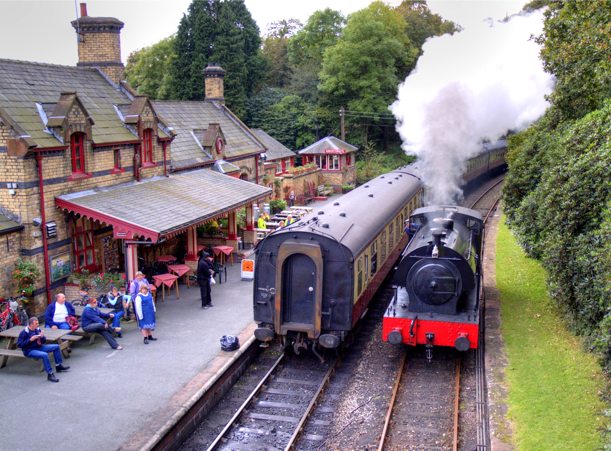
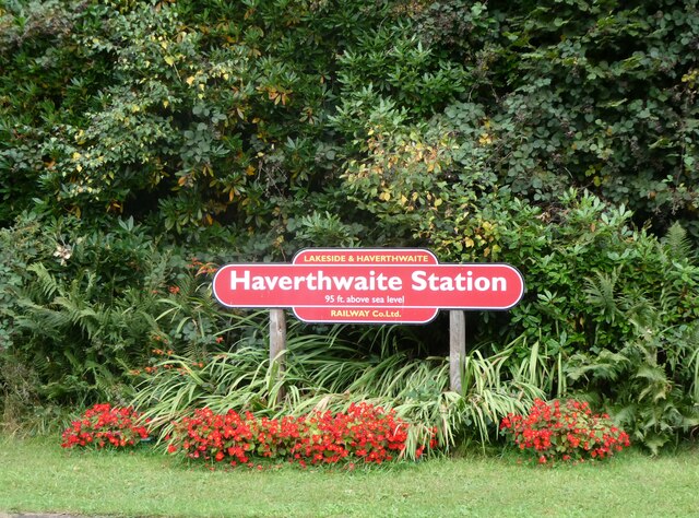
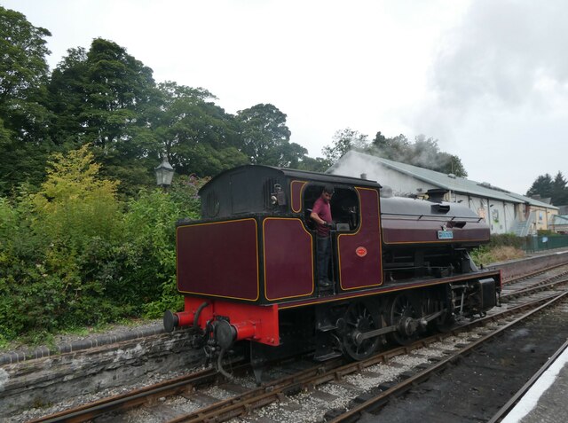
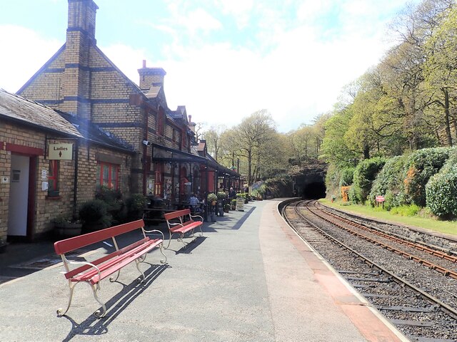
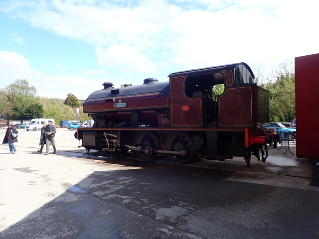
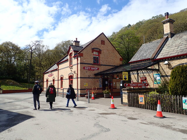
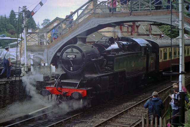
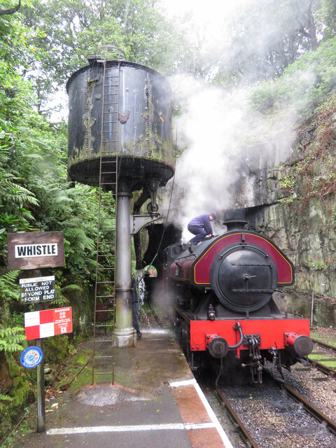
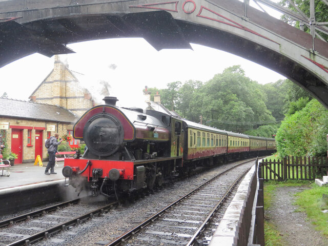
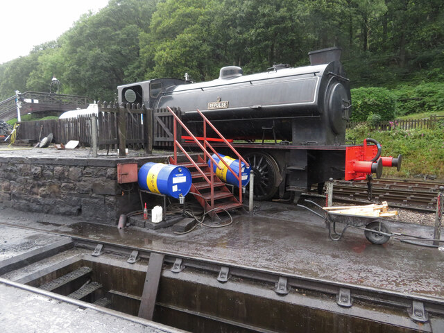
Haverthwaite railway station
Haverthwaite railway station is a railway station on the preserved Lakeside and Haverthwaite Railway in Cumbria, England. == History == The station opened...

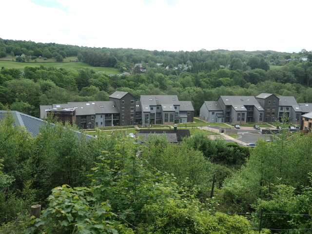
Backbarrow
Backbarrow is a village in the Lake District National Park in England. It lies on the River Leven about 5 miles (8 km) northeast of Ulverston in Furness...

A590 road
The A590 is a trunk road in southern Cumbria, in the north-west of England. It runs north-east to south-west from M6 junction 36, through the towns of...
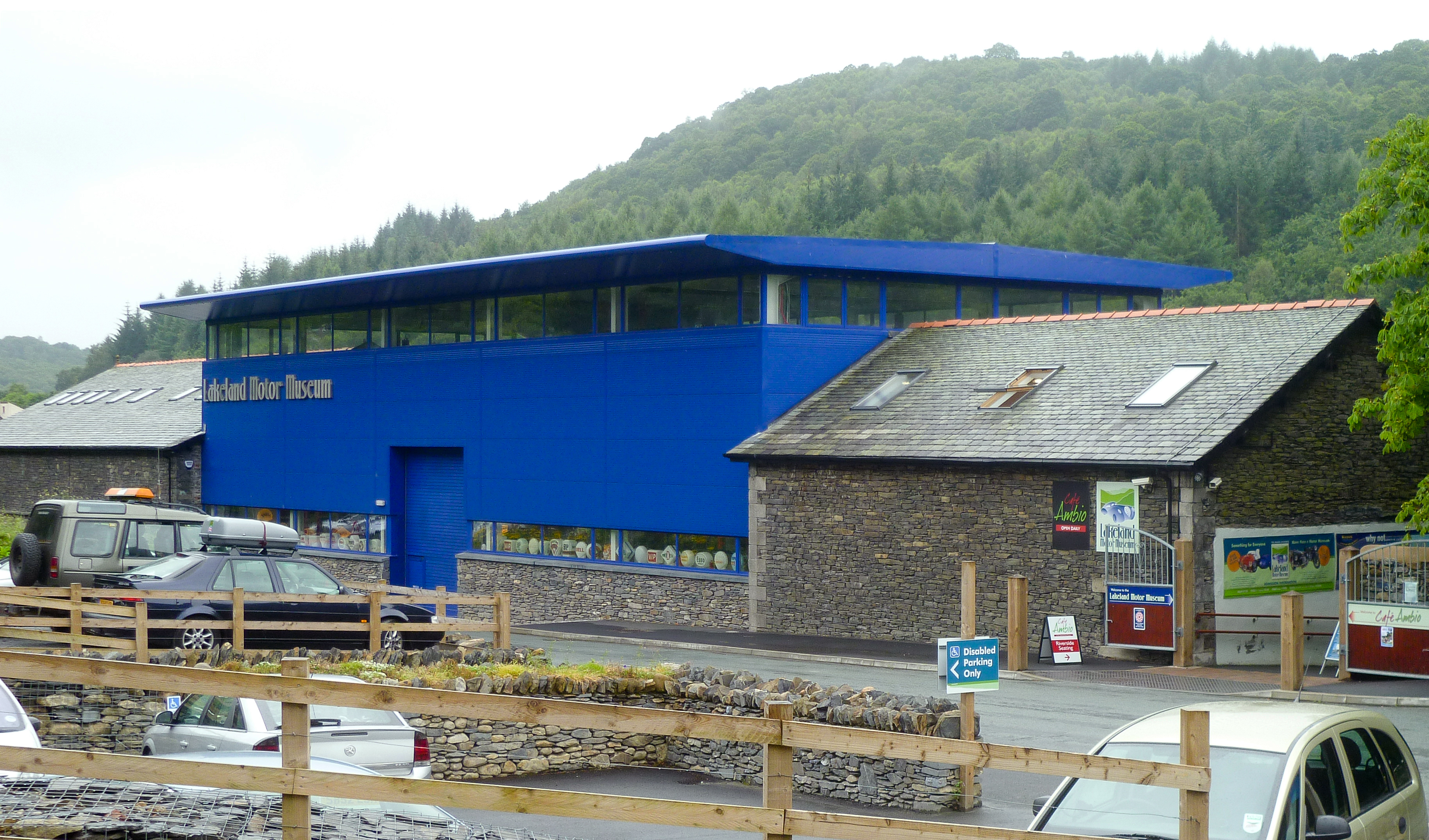
Lakeland Motor Museum
The Lakeland Motor Museum is a museum now located at Backbarrow, Cumbria, England which houses a collection of classic cars, motorcycles, bicycles, pedal...

Haverthwaite
Haverthwaite is a small village and civil parish in the Furness region of Cumbria, England. It is also within the boundaries of the Lake District National...
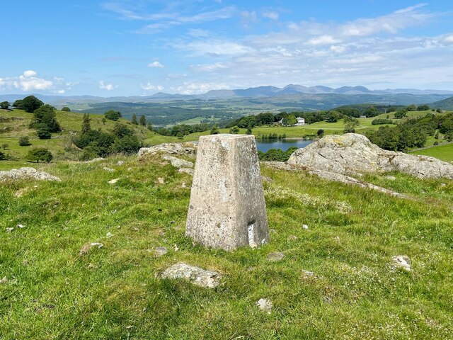
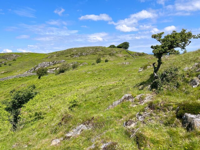
Bigland Barrow
Bigland Barrow is a hill in the English Lake District, near Backbarrow, Cumbria. It is the subject of a chapter of Wainwright's book The Outlying Fells...
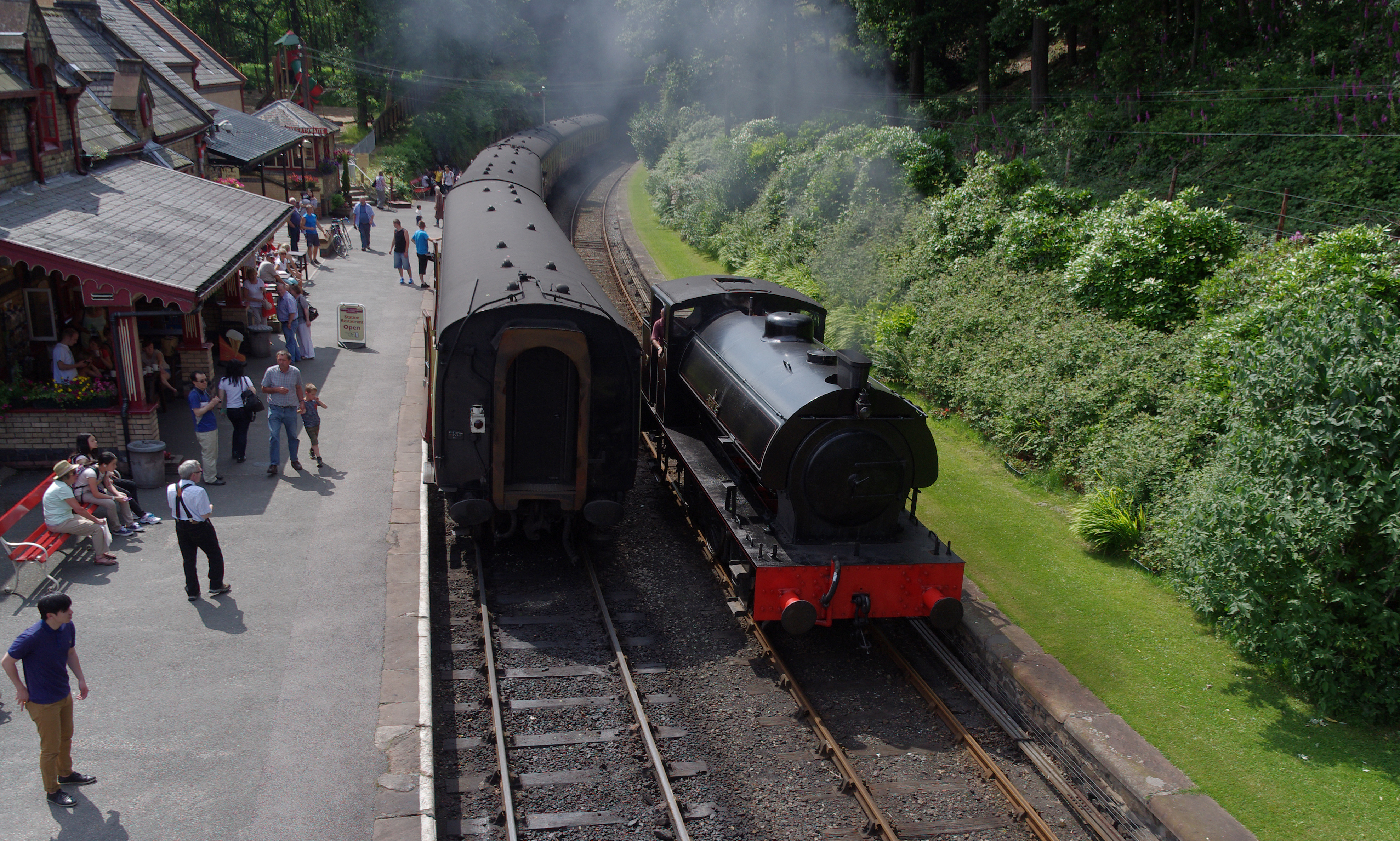
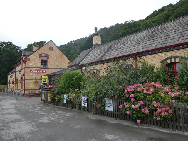
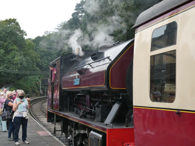
Lakeside and Haverthwaite Railway
The Lakeside and Haverthwaite Railway (L&HR) is a 3.2-mile-long (5.1 km) heritage railway in Cumbria, England. == Location == The L&HR runs from Haverthwaite...

Bigland Tarn
Bigland Tarn is a lake in Cumbria, England, about 3/4 mile southeast of Haverthwaite. Located at an elevation of 158 m (518 ft), the lake has an area of...
Related Videos

Travel Bear - Make mine a 99
The best way to have an ice cream in the UK. #uktravel #england #thenorth #gaytravel #travel #europeantravel #makeminea99 ...

Backbarrow & Bluebells
After a break from uploading, a walk from Backbarrow in search of Bluebells. Exploring the Industrial Archaeology of the area.
Nearby Amenities
Located within 500m of 54.252011,-2.9951478Have you been to Back Heights Wood?
Leave your review of Back Heights Wood below (or comments, questions and feedback).