Backbarrow
Settlement in Lancashire South Lakeland
England
Backbarrow

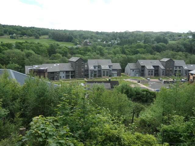
Backbarrow is a small village located in the southern part of the county of Lancashire, in northwestern England. With a population of around 400 residents, it is nestled within the picturesque Lake District National Park, known for its stunning natural landscapes and outdoor recreational opportunities. Backbarrow is situated on the banks of the River Leven and offers beautiful views of the surrounding countryside.
The village is primarily known for its historical significance in the industrial revolution era. It was home to the Backbarrow Ironworks, which operated from the late 18th century until the early 20th century. The ironworks played a crucial role in the development of the local area, producing iron and steel products that fueled the region's growth.
Today, Backbarrow retains its quaint charm and serves as a popular tourist destination. Visitors can explore the remnants of the ironworks, including the preserved furnace and machinery, at the Lakeland Motor Museum. This museum showcases a collection of vintage cars, motorcycles, and other historical artifacts, providing a glimpse into the automotive and industrial history of the region.
The village also offers opportunities for scenic walks along the river or in the nearby countryside, attracting outdoor enthusiasts and nature lovers. Additionally, Backbarrow is conveniently located near other attractions in the Lake District, such as Lake Windermere, making it an ideal base for exploring the wider region.
In terms of amenities, Backbarrow has a few small shops and a traditional pub, providing basic essentials and a place to socialize for both residents and visitors. Overall, Backbarrow offers a peaceful and idyllic setting, combining history, natural beauty, and a warm community atmosphere.
If you have any feedback on the listing, please let us know in the comments section below.
Backbarrow Images
Images are sourced within 2km of 54.253158/-2.994583 or Grid Reference SD3584. Thanks to Geograph Open Source API. All images are credited.


Backbarrow is located at Grid Ref: SD3584 (Lat: 54.253158, Lng: -2.994583)
Administrative County: Cumbria
District: South Lakeland
Police Authority: Cumbria
What 3 Words
///dentistry.rationed.belt. Near Grange-over-Sands, Cumbria
Nearby Locations
Related Wikis

Backbarrow
Backbarrow is a village in the Lake District National Park in England. It lies on the River Leven about 5 miles (8 km) northeast of Ulverston in Furness...
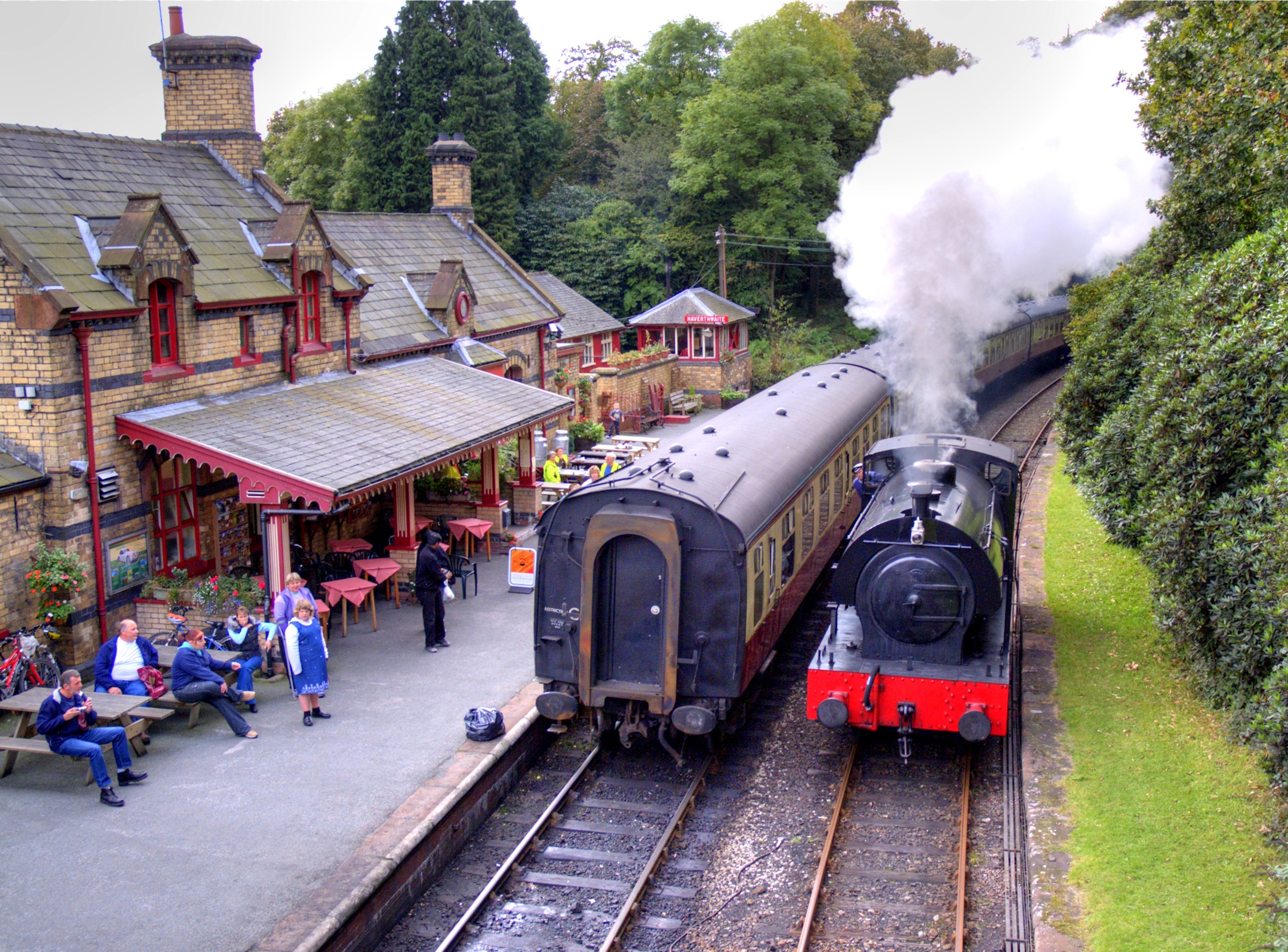
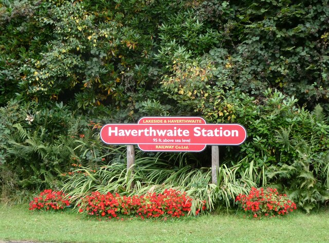
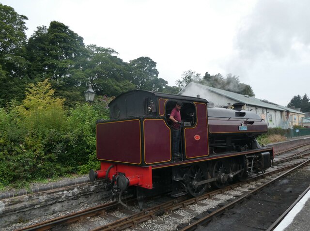
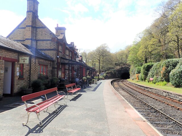
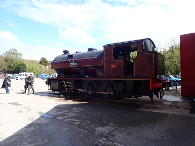
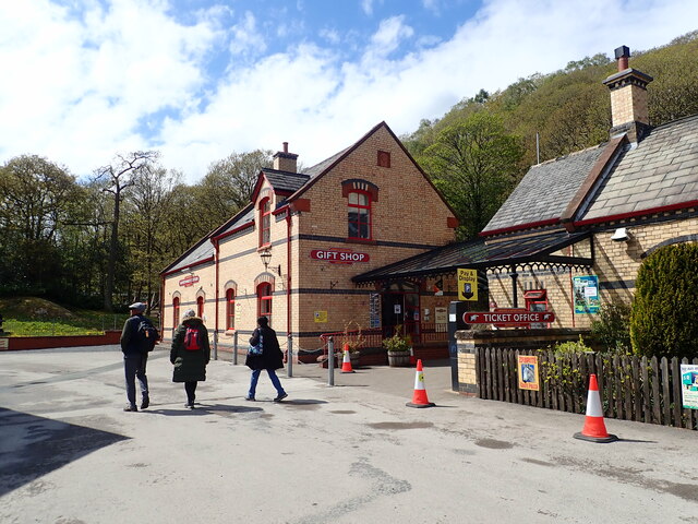
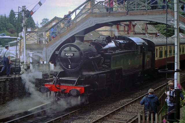
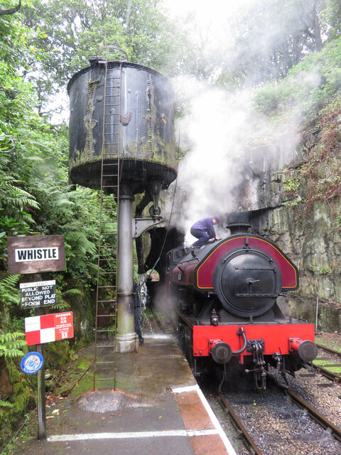
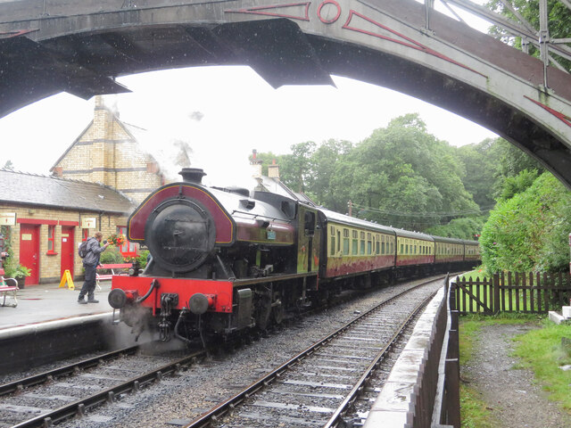
Haverthwaite railway station
Haverthwaite railway station is a railway station on the preserved Lakeside and Haverthwaite Railway in Cumbria, England. == History == The station opened...

A590 road
The A590 is a trunk road in southern Cumbria, in the north-west of England. It runs north-east to south-west from M6 junction 36, through the towns of...
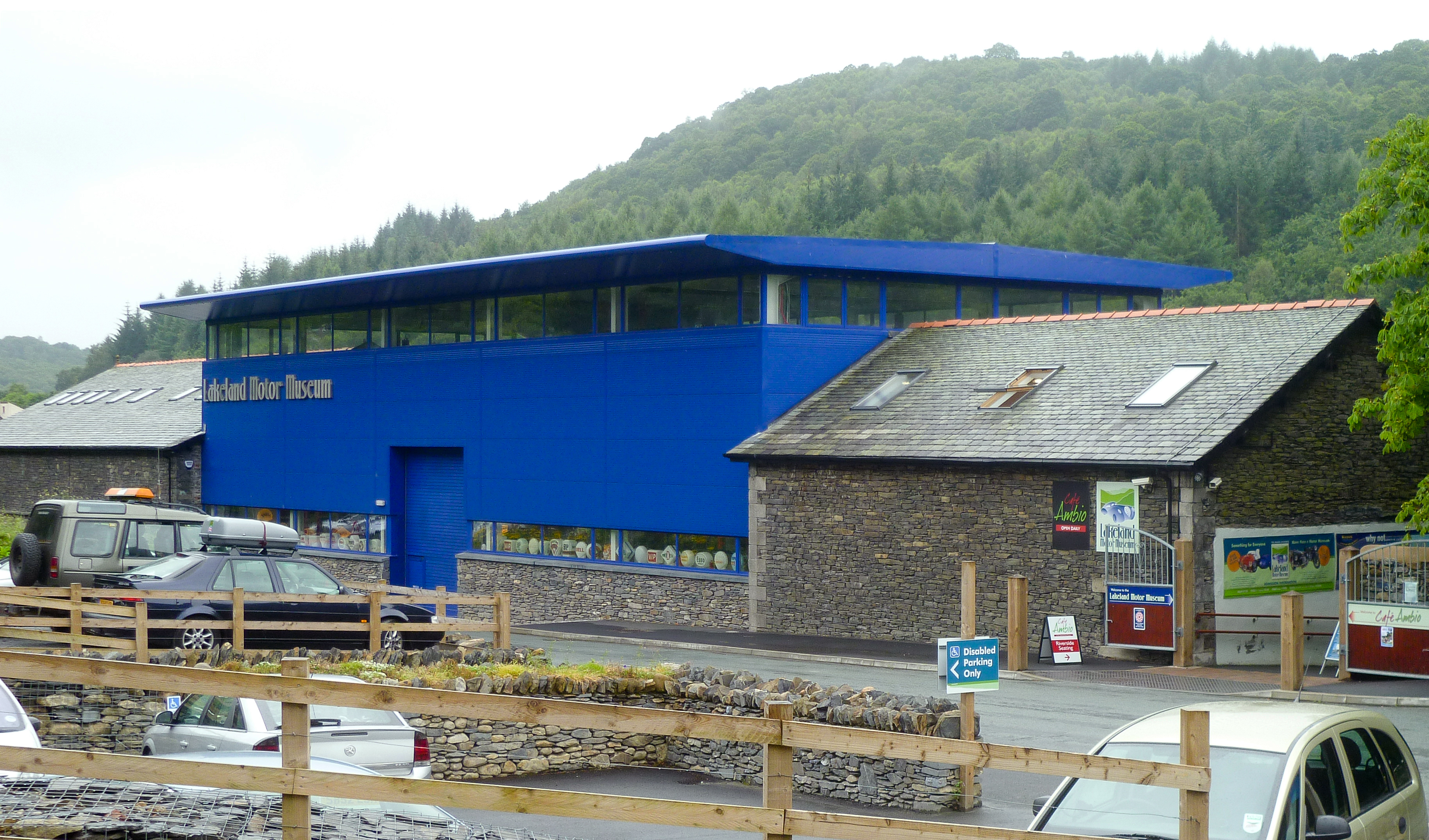
Lakeland Motor Museum
The Lakeland Motor Museum is a museum now located at Backbarrow, Cumbria, England which houses a collection of classic cars, motorcycles, bicycles, pedal...
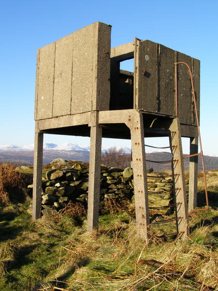
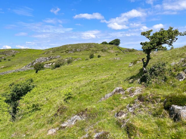
Bigland Barrow
Bigland Barrow is a hill in the English Lake District, near Backbarrow, Cumbria. It is the subject of a chapter of Wainwright's book The Outlying Fells...
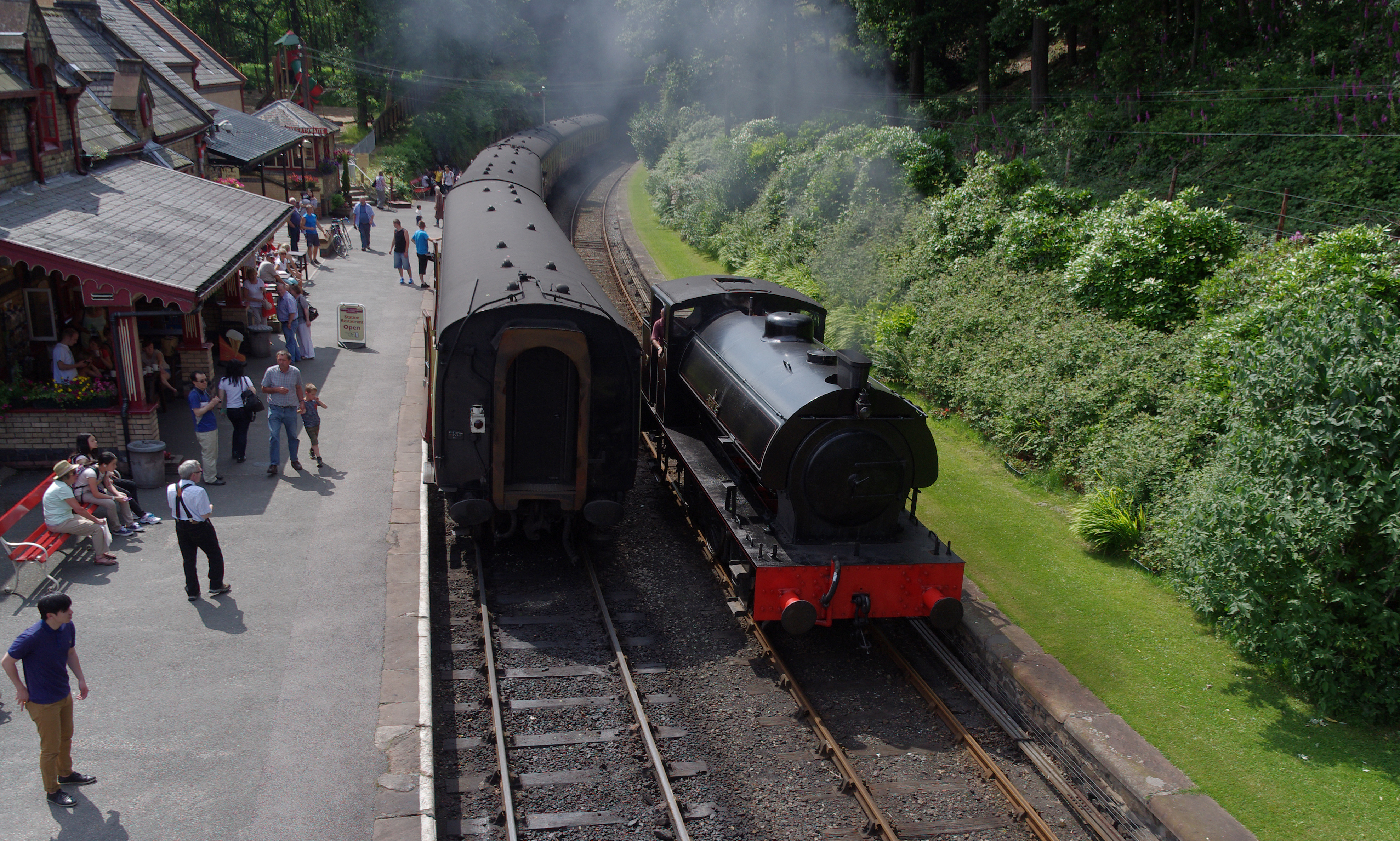
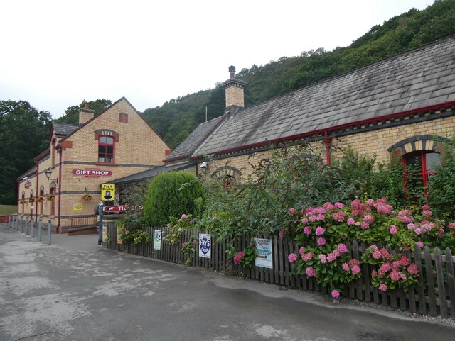
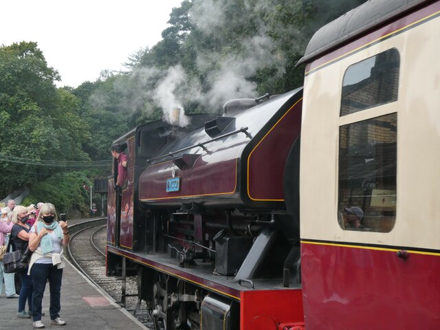
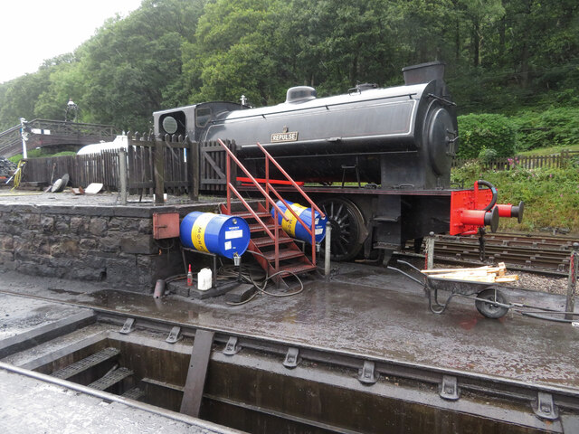
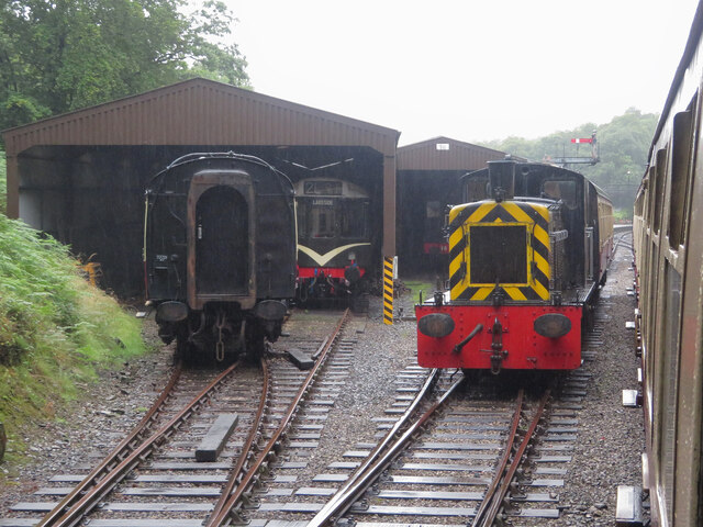
Lakeside and Haverthwaite Railway
The Lakeside and Haverthwaite Railway (L&HR) is a 3.2-mile-long (5.1 km) heritage railway in Cumbria, England. == Location == The L&HR runs from Haverthwaite...

Haverthwaite
Haverthwaite is a small village and civil parish in the Furness region of Cumbria, England. It is also within the boundaries of the Lake District National...

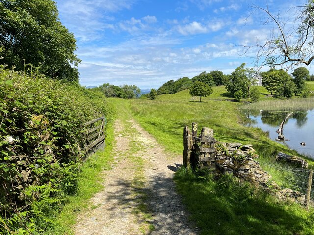
Bigland Tarn
Bigland Tarn is a lake in Cumbria, England, about 3/4 mile southeast of Haverthwaite. Located at an elevation of 158 m (518 ft), the lake has an area of...
Related Videos

Travel Bear - Make mine a 99
The best way to have an ice cream in the UK. #uktravel #england #thenorth #gaytravel #travel #europeantravel #makeminea99 ...

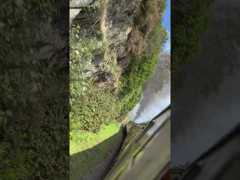
Backbarrow & Bluebells
After a break from uploading, a walk from Backbarrow in search of Bluebells. Exploring the Industrial Archaeology of the area.
Nearby Amenities
Located within 500m of 54.253158,-2.994583Have you been to Backbarrow?
Leave your review of Backbarrow below (or comments, questions and feedback).