Waitham Strip
Wood, Forest in Lancashire South Lakeland
England
Waitham Strip
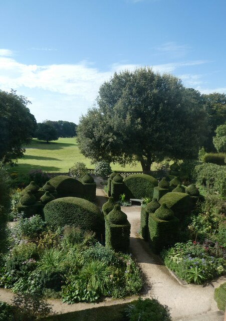
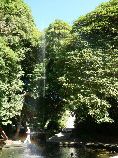
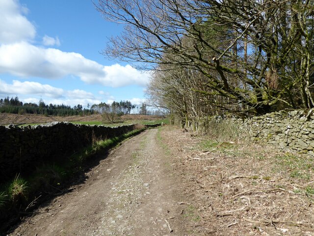
Waitham Strip is a picturesque woodland area located in Lancashire, England. This tranquil forest, also referred to as Waitham Woods, is situated in the heart of the county, offering a serene escape from the bustling city life. Covering an area of approximately 200 acres, Waitham Strip is a popular destination for nature enthusiasts and outdoor adventurers alike.
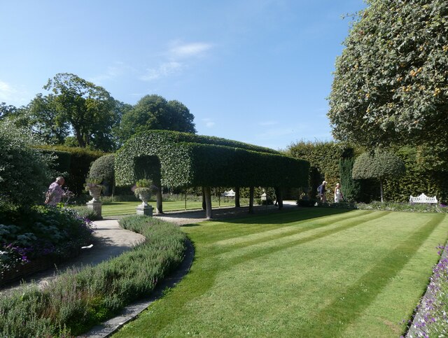
The woodland is primarily composed of native broadleaf trees such as oak, beech, and birch, creating a diverse and vibrant ecosystem. The dense canopy formed by these majestic trees provides shelter and habitat for various wildlife species, including birds, squirrels, and deer. Visitors may catch glimpses of these creatures as they explore the numerous walking trails that crisscross the forest.
Waitham Strip boasts a rich history, with evidence of human activity dating back centuries. Ancient ruins of a Roman settlement have been discovered in the area, adding to its cultural significance. The forest has also played a role in local folklore and legends, with tales of mythical creatures and supernatural phenomena captivating the imaginations of generations.
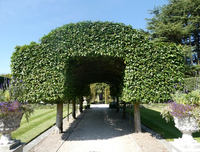
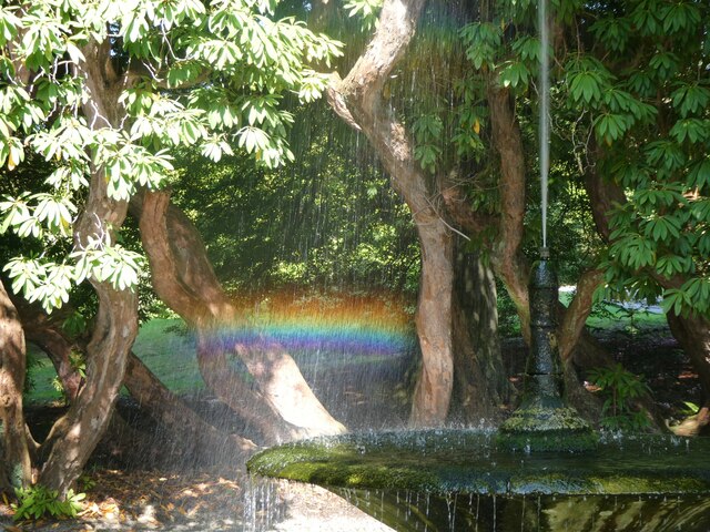
For those seeking outdoor activities, Waitham Strip offers opportunities for hiking, cycling, and picnicking. The well-maintained paths wind through the woods, allowing visitors to immerse themselves in the beauty of nature. The serene atmosphere and stunning scenery make it an ideal location for mindfulness and relaxation.
Overall, Waitham Strip in Lancashire is a captivating woodland retreat. Its natural beauty, historical significance, and recreational opportunities make it a must-visit destination for nature lovers and those looking to escape the stresses of modern life.
If you have any feedback on the listing, please let us know in the comments section below.
Waitham Strip Images
Images are sourced within 2km of 54.192956/-2.9957514 or Grid Reference SD3577. Thanks to Geograph Open Source API. All images are credited.


Waitham Strip is located at Grid Ref: SD3577 (Lat: 54.192956, Lng: -2.9957514)
Administrative County: Cumbria
District: South Lakeland
Police Authority: Cumbria
What 3 Words
///bulbs.speaks.stupidly. Near Flookburgh, Cumbria
Nearby Locations
Related Wikis
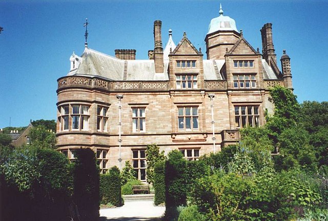
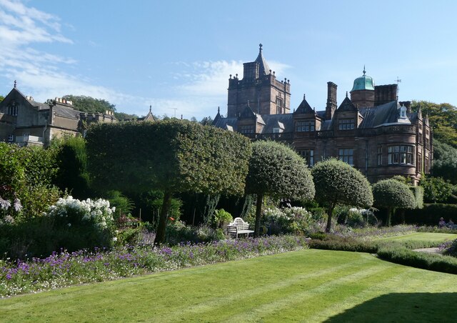
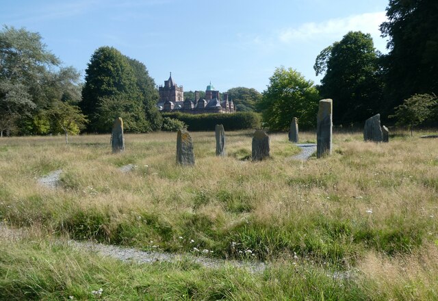
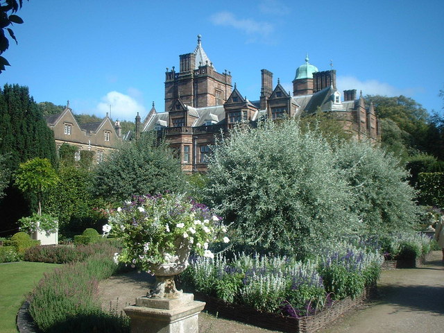
Holker Hall
Holker Hall (pronounced Hooker by some) is a privately owned country house located about 2 km to the southwest of the village of Cartmel in the ceremonial...

Cark
Cark (sometimes Cark in Cartmel) is a village in Cumbria, England. It lies on the B5278 road to Haverthwaite (and to the A590 road) and is ½ mile north...

Cark & Cartmel railway station
Cark & Cartmel is a railway station on the Furness line, which runs between Barrow-in-Furness and Lancaster. The station, situated 15+1⁄4 miles (25 km...
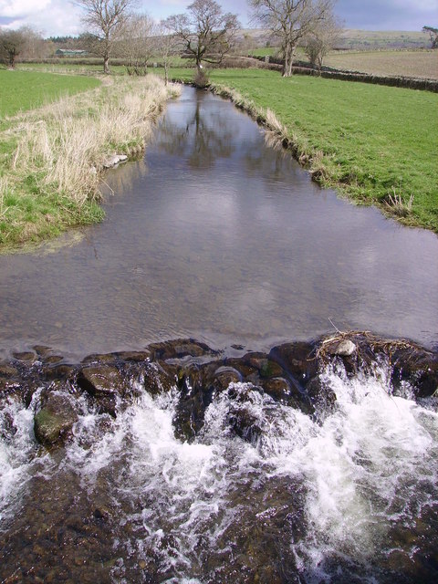
River Eea
The River Eea () is a small river in the Lake District, Cumbria, England running through the Furness region, which until 1974 was part of Lancashire. It...
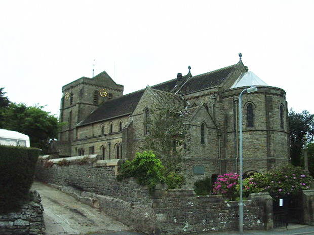
St John the Baptist's Church, Flookburgh
St John the Baptist's Church is in Station Road in the village of Flookburgh, on the Cartmel Peninsula in Cumbria, England. It is an active Anglican parish...
Lower Holker
Lower Holker is a civil parish in the South Lakeland district of the English county of Cumbria. It includes the villages of Cark and Flookburgh, the hamlets...
Flookburgh
Flookburgh is an ancient village on the Cartmel peninsula in Cumbria, England. Within the boundaries of the historic county of Lancashire and being close...

Ravenstown
Ravenstown is also a nickname for Baltimore, Maryland. Ravenstown is a settlement in the Lower Holker parish of the Cartmel Peninsula in Cumbria, England...
Have you been to Waitham Strip?
Leave your review of Waitham Strip below (or comments, questions and feedback).