Holker
Settlement in Lancashire South Lakeland
England
Holker
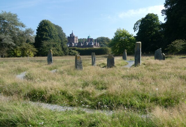
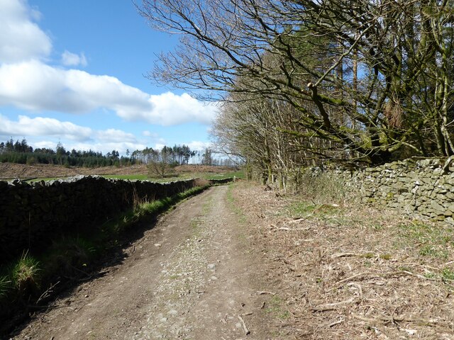
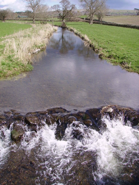
Holker is a small village located in the county of Lancashire, England. Situated in the South Lakeland district, it lies near the southern shores of the estuary of the River Leven. The village is surrounded by stunning natural beauty, with the Lake District National Park to the north and Morecambe Bay to the west.
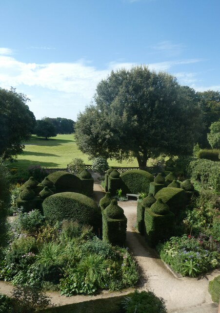
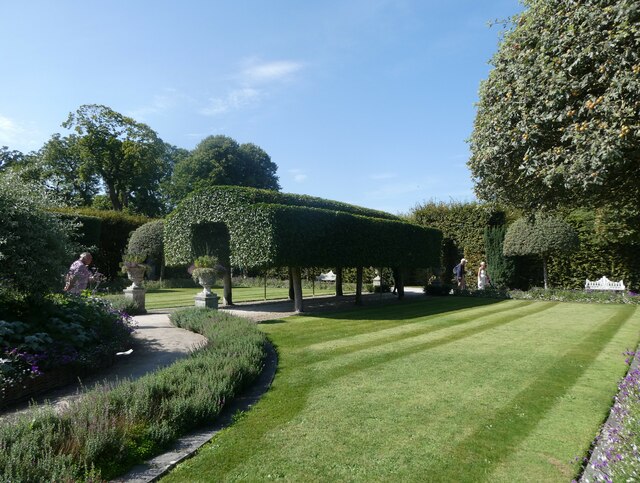
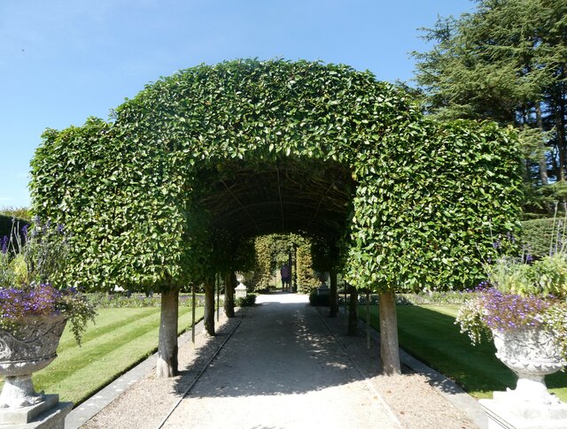
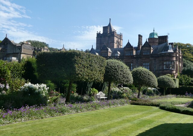
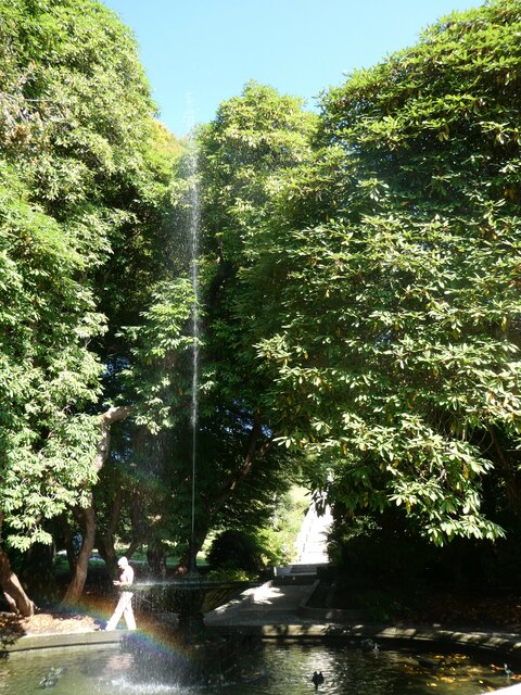
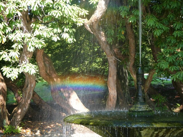
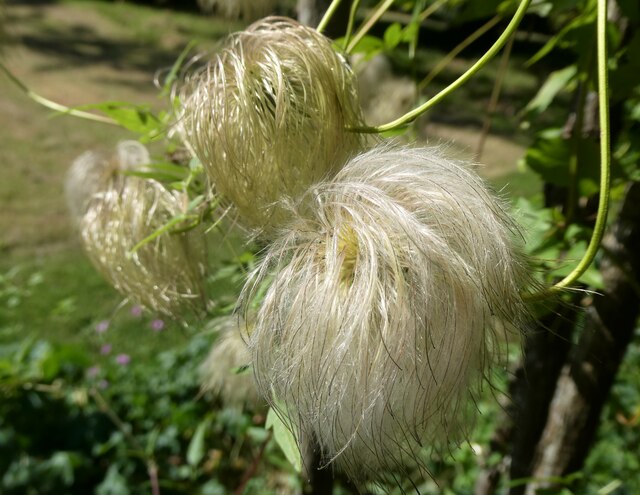
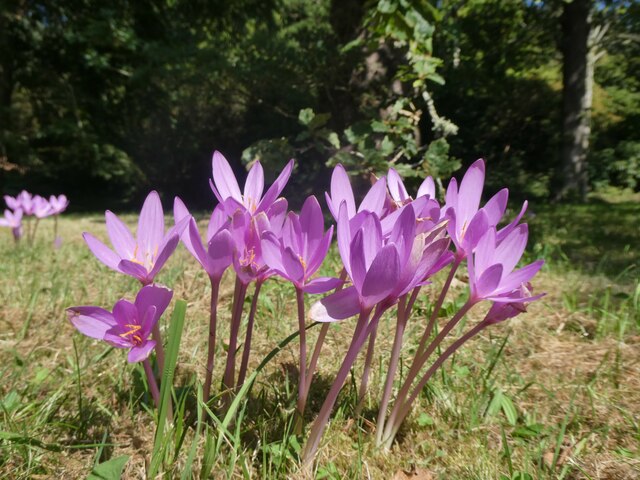
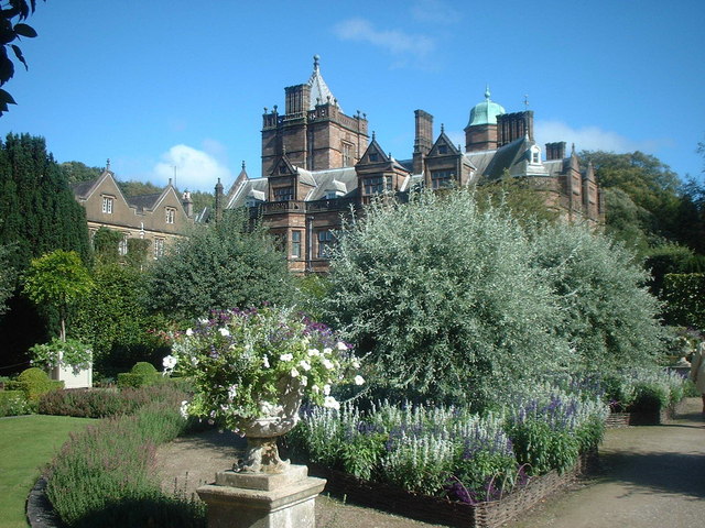
Historically, Holker was part of the parish of Cartmel and was originally an agricultural village. Over time, it has evolved into a popular tourist destination due to its picturesque location and close proximity to the Lake District. The village is home to Holker Hall, a stately home that dates back to the 16th century. Holker Hall is renowned for its beautiful gardens, which attract visitors from near and far.
In addition to its natural attractions, Holker hosts various events throughout the year, including the Holker Garden Festival, which showcases horticulture and gardening expertise. The festival attracts gardening enthusiasts and experts from all over the country.
The village itself is small and charming, with a few local amenities such as a village shop and a pub. Surrounding the village are rolling hills and farmland, providing a peaceful and idyllic setting.
Overall, Holker is a quaint village in Lancashire that offers visitors a chance to experience the natural beauty of the Lake District while enjoying the tranquility of a rural setting.
If you have any feedback on the listing, please let us know in the comments section below.
Holker Images
Images are sourced within 2km of 54.190501/-2.983882 or Grid Reference SD3577. Thanks to Geograph Open Source API. All images are credited.


Holker is located at Grid Ref: SD3577 (Lat: 54.190501, Lng: -2.983882)
Administrative County: Cumbria
District: South Lakeland
Police Authority: Cumbria
What 3 Words
///worksheet.adopt.than. Near Flookburgh, Cumbria
Nearby Locations
Related Wikis
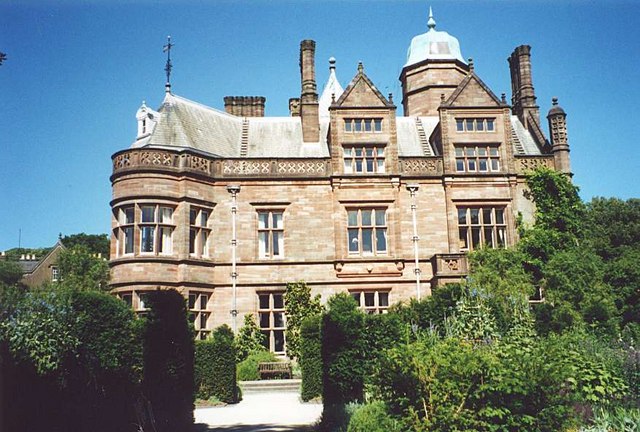
Holker Hall
Holker Hall (pronounced Hooker by some) is a privately owned country house located about 2 km to the southwest of the village of Cartmel in the ceremonial...

Cark
Cark (sometimes Cark in Cartmel) is a village in Cumbria, England. It lies on the B5278 road to Haverthwaite (and to the A590 road) and is ½ mile north...

Cark & Cartmel railway station
Cark & Cartmel is a railway station on the Furness line, which runs between Barrow-in-Furness and Lancaster. The station, situated 15+1⁄4 miles (25 km...
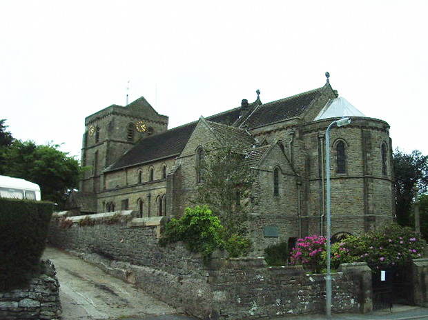
St John the Baptist's Church, Flookburgh
St John the Baptist's Church is in Station Road in the village of Flookburgh, on the Cartmel Peninsula in Cumbria, England. It is an active Anglican parish...
Lower Holker
Lower Holker is a civil parish in the South Lakeland district of the English county of Cumbria. It includes the villages of Cark and Flookburgh, the hamlets...
Flookburgh
Flookburgh is an ancient village on the Cartmel peninsula in Cumbria, England. Within the boundaries of the historic county of Lancashire and being close...
River Eea
The River Eea () is a small river in the Lake District, Cumbria, England running through the Furness region, which until 1974 was part of Lancashire. It...

Cartmel Priory Gatehouse
Cartmel Priory Gatehouse is a medieval building located at Cartmel, Grange-over-Sands, Cumbria, England. It is listed Grade II* and is part of a scheduled...
Nearby Amenities
Located within 500m of 54.190501,-2.983882Have you been to Holker?
Leave your review of Holker below (or comments, questions and feedback).