Aber-craf
Settlement in Brecknockshire
Wales
Aber-craf

Aber-craf is a small village located in the county of Brecknockshire, Wales. Situated in the heart of the Brecon Beacons National Park, it is surrounded by picturesque natural beauty and offers a peaceful retreat for both residents and visitors.
The village is positioned along the banks of the River Tawe, which adds to its charm. Its name translates to "confluence of the rivers," as it is where the rivers Tawe and Twrch merge. This makes Aber-craf a popular spot for fishing enthusiasts, who come to enjoy the abundance of trout and salmon found in its waters.
Despite its small size, Aber-craf offers a range of amenities to cater to its residents' needs. There are several shops, including a grocery store, post office, and a few local businesses. The village also has a primary school, ensuring that children have access to education within its boundaries.
For those seeking outdoor activities, Aber-craf provides ample opportunities for hiking, cycling, and exploring the surrounding countryside. The nearby national park offers a variety of walking trails, including the famous Waterfall Country, where visitors can marvel at cascading waterfalls and lush greenery.
Aber-craf's location provides easy access to other notable towns and attractions in Brecknockshire. The popular market town of Brecon is just a short drive away, offering additional amenities, historic landmarks, and cultural events.
Overall, Aber-craf is a tranquil village that embraces its natural surroundings, making it an ideal destination for nature lovers and those seeking a peaceful retreat.
If you have any feedback on the listing, please let us know in the comments section below.
Aber-craf Images
Images are sourced within 2km of 51.802123/-3.712778 or Grid Reference SN8212. Thanks to Geograph Open Source API. All images are credited.


Aber-craf is located at Grid Ref: SN8212 (Lat: 51.802123, Lng: -3.712778)
Unitary Authority: Powys
Police Authority: Dyfed Powys
Also known as: Abercrave, Abercraf
What 3 Words
///expires.moon.dignify. Near Seven Sisters, Neath Port Talbot
Nearby Locations
Related Wikis

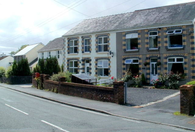
Abercraf
Abercrâf or Abercrave is a village in Powys, Wales, in the community of Ystradgynlais and within the historic boundaries of the county of Brecknockshire...

Abercrave railway station
Abercrave railway station was a railway station that served the village of Abercraf in the traditional county of Brecknockshire, Wales. Opened in 1869...

Caehopkin
Caehopkin (Welsh: Caehopcyn) is a village in Powys, Wales. It lies between Abercraf and Coelbren in the Swansea Valley on the border of the Brecon Beacons...

Nant Llech
The Nant Llech is a minor river in Powys, Wales and which lies wholly within the Brecon Beacons National Park. The name means 'slab stream', presumably...
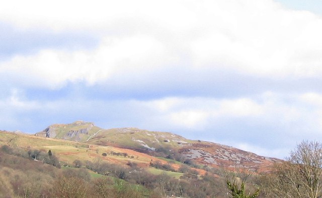
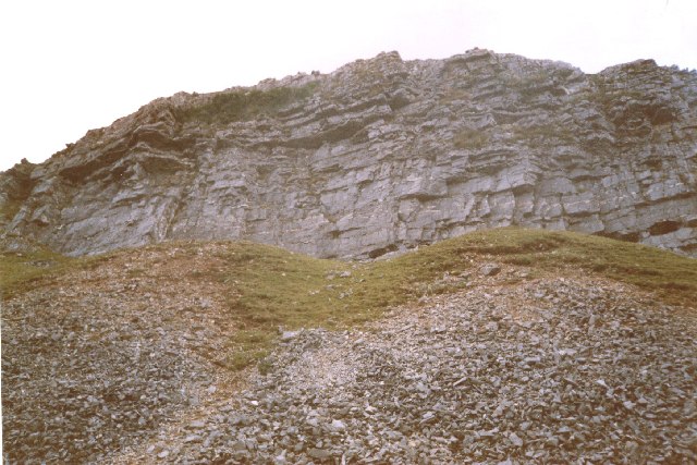
Cribarth
Cribarth, sometimes referred to as the Sleeping Giant, is a hill in the Brecon Beacons National Park, Powys, Wales, in the traditional county of Brecknockshire...

Wales Ape and Monkey Sanctuary
Wales Ape and Monkey Sanctuary is an animal sanctuary between Caehopkin and Abercraf in Powys, Wales. It became the Wales Ape & Monkey Sanctuary in December...
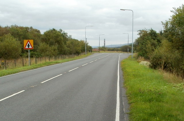
A4221 road
The A4221 is an A road which links Banwen with Abercraf in Wales. == Route == The roads begins just south of Abercraf at the junction with the A4067....
Pen-y-cae, Powys
Pen-y-cae is a village in Powys, Wales in the Brecon Beacons National Park between Abercraf and Craig-y-Nos Castle, in the community of Tawe-Uchaf. The...
Nearby Amenities
Located within 500m of 51.802123,-3.712778Have you been to Aber-craf?
Leave your review of Aber-craf below (or comments, questions and feedback).