The Common
Wood, Forest in Lancashire South Lakeland
England
The Common
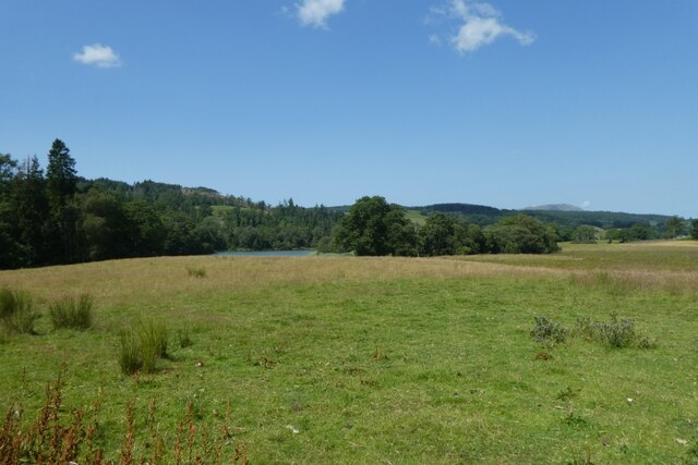
The Common, Lancashire, also known as Wood or Forest, is a vast area located in the county of Lancashire, England. Spanning over several square miles, it is renowned for its beautiful and diverse landscape, making it a popular destination for nature enthusiasts and visitors seeking tranquility.
The Common is characterized by its dense woodlands, which consist of a variety of tree species such as oak, beech, and birch. These woodlands provide a habitat for numerous wildlife species, including deer, foxes, badgers, and a wide array of bird species, making it an ideal spot for wildlife observation and photography.
The Common is crisscrossed by several walking trails, allowing visitors to explore its picturesque surroundings. The trails wind through the woodlands, offering breathtaking views of the lush greenery and occasional glimpses of wildlife. There are also designated picnic areas and benches along the paths, providing opportunities for visitors to relax and enjoy the peaceful ambiance.
In addition to its natural beauty, The Common is also home to historical landmarks and sites of interest. The remains of ancient settlements and burial grounds can be found scattered throughout the area, reflecting its long history and cultural significance.
Overall, The Common, Lancashire (Wood, Forest) is a captivating destination that offers a harmonious blend of natural wonders and historical heritage. Whether one is seeking a peaceful retreat, an adventurous hike, or a glimpse into the past, The Common is sure to provide a memorable experience for all who visit.
If you have any feedback on the listing, please let us know in the comments section below.
The Common Images
Images are sourced within 2km of 54.33934/-3.003209 or Grid Reference SD3494. Thanks to Geograph Open Source API. All images are credited.


The Common is located at Grid Ref: SD3494 (Lat: 54.33934, Lng: -3.003209)
Administrative County: Cumbria
District: South Lakeland
Police Authority: Cumbria
What 3 Words
///contrived.export.rooting. Near Windermere, Cumbria
Nearby Locations
Related Wikis

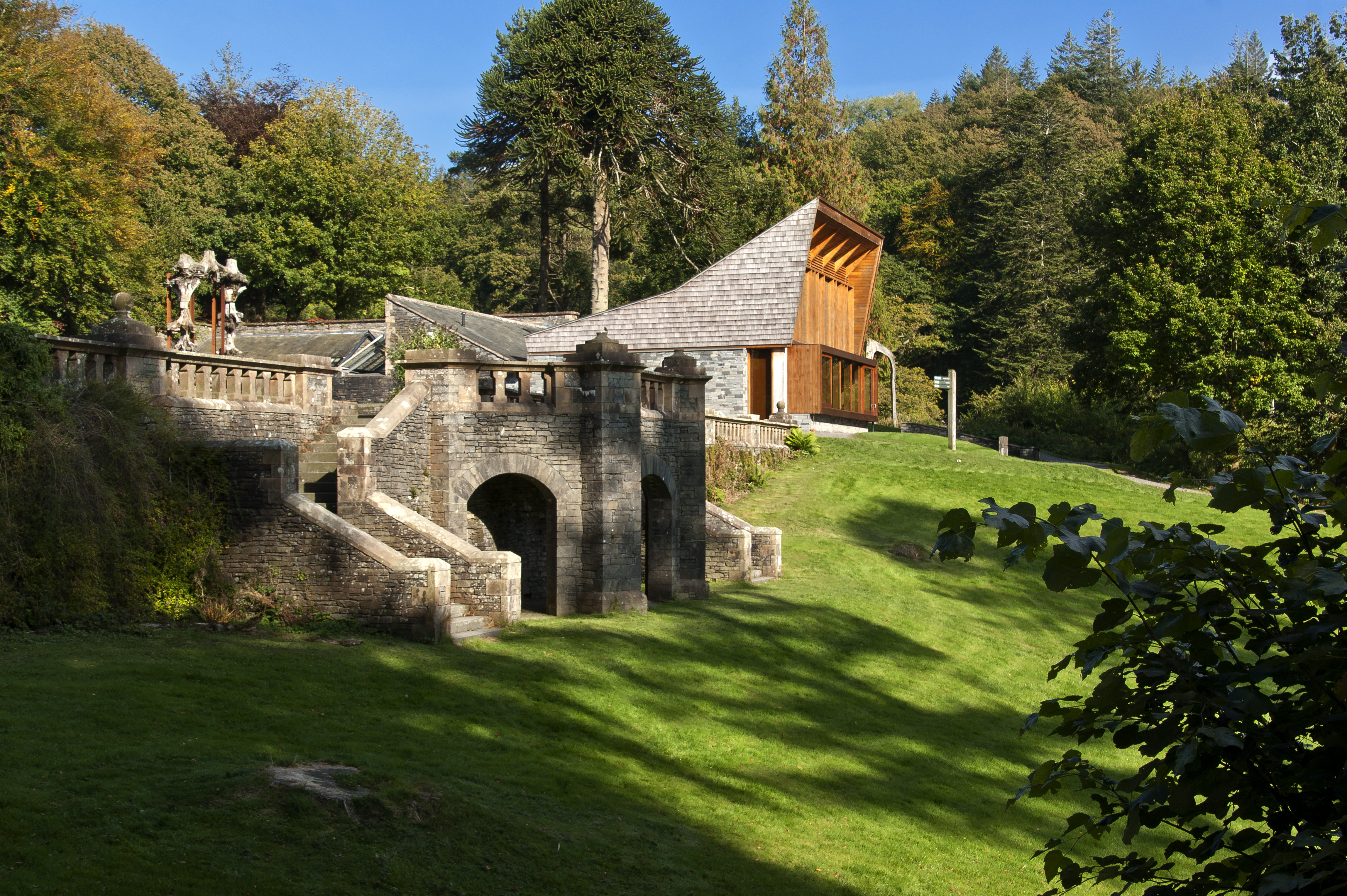
Grizedale Hall
Grizedale Hall was a large country house at Grizedale, Hawkshead, in the Lake District in Cumbria, England. After two earlier Grizedale Halls had preceded...
Grizedale
Grizedale is a hamlet in the Lake District of North West England, in the middle of the Grizedale Forest, located north of Satterthwaite and south of Hawkshead...
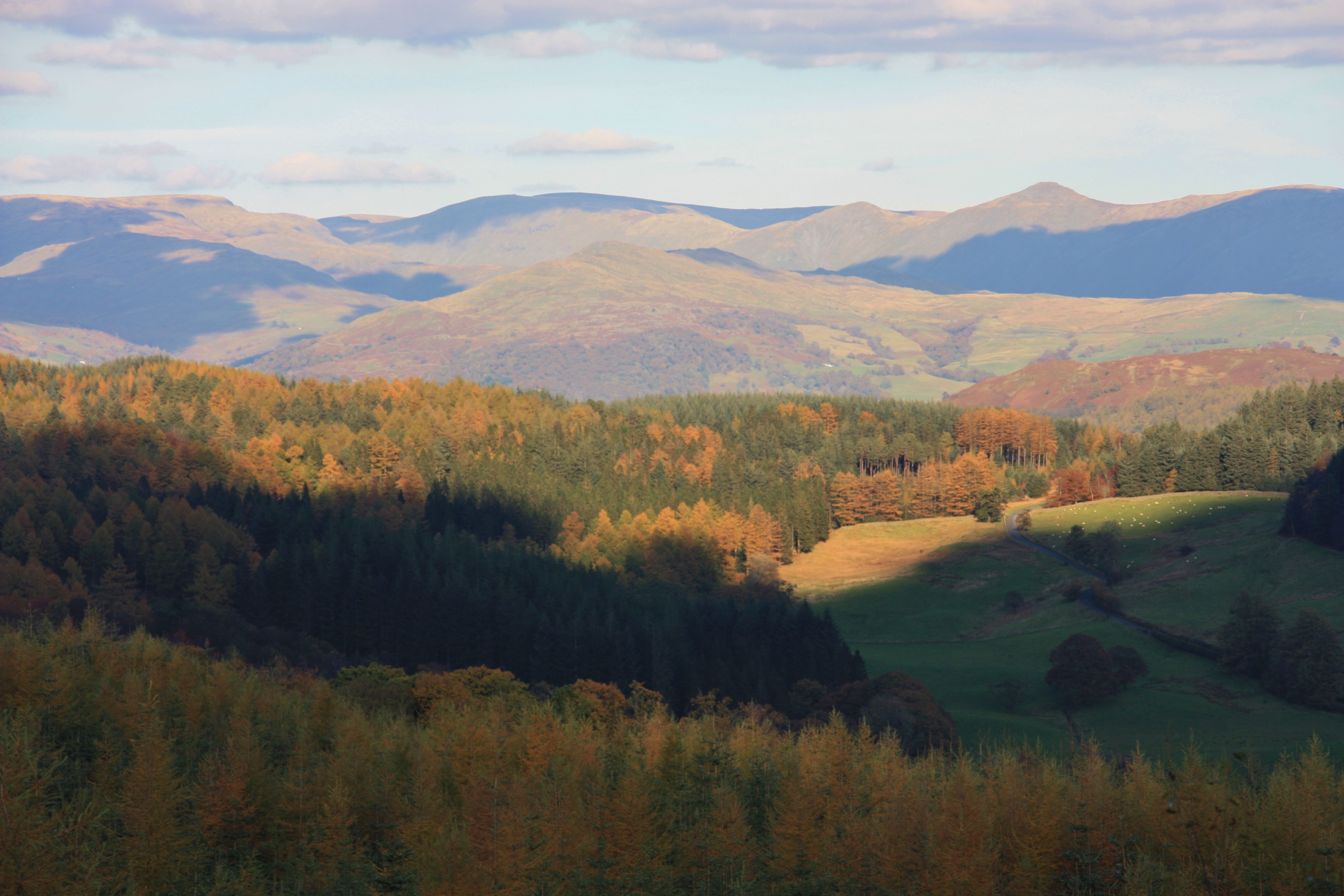
Grizedale Forest
Grizedale Forest is a 24.47 km2 area of woodland in the Lake District of North West England, located to the east of Coniston Water and to the south of...

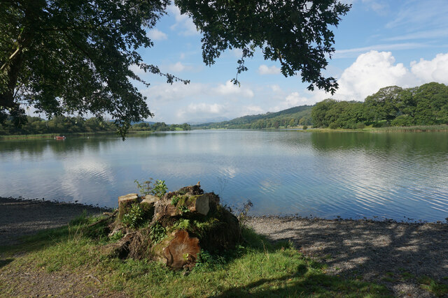
Esthwaite Water
Esthwaite Water is one of the smaller and lesser known lakes in the Lake District National Park in northern England. It is situated between the much larger...

Satterthwaite
Satterthwaite is a small village (and civil parish) with around 50 dwellings situated in Grizedale, a valley in the Lake District, England, about four...
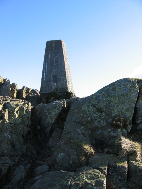
Carron Crag
Carron Crag is a small fell in Grizedale Forest in the English Lake District with a height of 314 metres (1,030 ft). Adjacent to the trig point is a large...

Hill Top, Cumbria
Hill Top is a 17th-century house in Near Sawrey near Hawkshead, in the English county of Cumbria. It is an example of Lakeland vernacular architecture...

Near and Far Sawrey
Near Sawrey and Far Sawrey are two neighbouring villages in the Furness area of Cumbria, England. Within the boundaries of the historic county of Lancashire...
Nearby Amenities
Located within 500m of 54.33934,-3.003209Have you been to The Common?
Leave your review of The Common below (or comments, questions and feedback).