Braithwaite Plantation

Wood, Forest in Lancashire South Lakeland

England

Braithwaite Plantation

Farmland near Esthwaite Hall A flat area between Esthwaite Water and the Furness Fells.
Farmland near Esthwaite Hall Credit: Bill Boaden

Braithwaite Plantation is a picturesque woodland area located in the heart of Lancashire, England. Spanning over several acres, this enchanting forest is known for its stunning natural beauty and rich biodiversity. The plantation is situated in close proximity to the village of Braithwaite, which adds to its charm and accessibility.

The woodland of Braithwaite Plantation is primarily composed of a mix of deciduous and evergreen trees, including oak, beech, and pine. These majestic trees create a tranquil and serene atmosphere, making it a popular destination for nature enthusiasts and hikers. The forest floor is adorned with a carpet of wildflowers and ferns, adding to the visual appeal and providing a haven for various small animals and insects.

The plantation is intersected by several walking trails, allowing visitors to explore the natural wonders at their own pace. The paths meander through the lush foliage, offering glimpses of wildlife such as squirrels, deer, and a wide variety of bird species. Additionally, the plantation is home to a small stream that meanders through the woods, adding to the overall charm and providing a soothing soundtrack to the experience.

Braithwaite Plantation is not only a haven for nature lovers but also serves as an important ecological site. The woodland plays a crucial role in maintaining the local ecosystem, providing a habitat for numerous species and aiding in the purification of air and water.

Overall, Braithwaite Plantation in Lancashire is a true gem, offering a tranquil escape from the hustle and bustle of everyday life. Its natural beauty, diverse flora and fauna, and accessibility make it an ideal destination for anyone seeking solace in nature's embrace.

If you have any feedback on the listing, please let us know in the comments section below.

Braithwaite Plantation Images

Images are sourced within 2km of 54.34314/-3.0119467 or Grid Reference SD3494. Thanks to Geograph Open Source API. All images are credited.

Farmland near Esthwaite Hall A flat area between Esthwaite Water and the Furness Fells.
Farmland near Esthwaite Hall
A flat area between Esthwaite Water and the Furness Fells.
Grazing land above Esthwaite Water There is a glimpse of Esthwaite Water behind the band of trees.
Grazing land above Esthwaite Water
There is a glimpse of Esthwaite Water behind the band of trees.
Esthwaite Water Viewed from a landing stage for fishing purposes. The boats seen lined up can be hired for fishing out on the lake.
Esthwaite Water
Viewed from a landing stage for fishing purposes. The boats seen lined up can be hired for fishing out on the lake.
Cleared Plantation - Grizedale Forest
Small pool in Grizedale Forest
Forest Road - Jack Gap Plantation
Triangulation Pillar - Carron Crag - Grizedale Forest
'Wriggle' Wriggle by Colin Rose
Sculpture in Grizedale Forest
'Wriggle'
Wriggle by Colin Rose Sculpture in Grizedale Forest
Forestry road, Grizedale Forest
Rivet Benchmark on Footpath Near Grizedale Road Benchmark description here <span class="nowrap"><a title="https://www.bench-marks.org.uk/bm187906" rel="nofollow ugc noopener" href="https://www.bench-marks.org.uk/bm187906">Link</a><img style="margin-left:2px;" alt="External link" title="External link - shift click to open in new window" src="https://s1.geograph.org.uk/img/external.png" width="10" height="10"/></span>
Rivet Benchmark on Footpath Near Grizedale Road
Benchmark description here LinkExternal link
Benchmark on Gatepost, Grizedale Road Benchmark description here <span class="nowrap"><a title="https://www.bench-marks.org.uk/bm187908" rel="nofollow ugc noopener" href="https://www.bench-marks.org.uk/bm187908">Link</a><img style="margin-left:2px;" alt="External link" title="External link - shift click to open in new window" src="https://s1.geograph.org.uk/img/external.png" width="10" height="10"/></span>
Benchmark on Gatepost, Grizedale Road
Benchmark description here LinkExternal link
Benchmark on Gatepost, Grizedale Road Benchmark description here <span class="nowrap"><a title="https://www.bench-marks.org.uk/bm82387" rel="nofollow ugc noopener" href="https://www.bench-marks.org.uk/bm82387">Link</a><img style="margin-left:2px;" alt="External link" title="External link - shift click to open in new window" src="https://s1.geograph.org.uk/img/external.png" width="10" height="10"/></span>
Benchmark on Gatepost, Grizedale Road
Benchmark description here LinkExternal link
Benchmark on Gatepost at Moorgate, Grizedale Moor Benchmark description here <span class="nowrap"><a title="https://www.bench-marks.org.uk/bm92400" rel="nofollow ugc noopener" href="https://www.bench-marks.org.uk/bm92400">Link</a><img style="margin-left:2px;" alt="External link" title="External link - shift click to open in new window" src="https://s1.geograph.org.uk/img/external.png" width="10" height="10"/></span>
Benchmark on Gatepost at Moorgate, Grizedale Moor
Benchmark description here LinkExternal link
Rivet Benchmark on Track Between Grizedale and Estwaite Benchmark description here <span class="nowrap"><a title="https://www.bench-marks.org.uk/bm187890" rel="nofollow ugc noopener" href="https://www.bench-marks.org.uk/bm187890">Link</a><img style="margin-left:2px;" alt="External link" title="External link - shift click to open in new window" src="https://s1.geograph.org.uk/img/external.png" width="10" height="10"/></span>
Rivet Benchmark on Track Between Grizedale and Estwaite
Benchmark description here LinkExternal link
Rivet Benchmark on Track Between Grizedale and Estwaite Benchmark description here <span class="nowrap"><a title="https://www.bench-marks.org.uk/bm187892" rel="nofollow ugc noopener" href="https://www.bench-marks.org.uk/bm187892">Link</a><img style="margin-left:2px;" alt="External link" title="External link - shift click to open in new window" src="https://s1.geograph.org.uk/img/external.png" width="10" height="10"/></span>
Rivet Benchmark on Track Between Grizedale and Estwaite
Benchmark description here LinkExternal link
Rivet Benchmark on Track Between Grizedale and Estwaite Benchmark description here <span class="nowrap"><a title="https://www.bench-marks.org.uk/bm187894" rel="nofollow ugc noopener" href="https://www.bench-marks.org.uk/bm187894">Link</a><img style="margin-left:2px;" alt="External link" title="External link - shift click to open in new window" src="https://s1.geograph.org.uk/img/external.png" width="10" height="10"/></span>
Rivet Benchmark on Track Between Grizedale and Estwaite
Benchmark description here LinkExternal link
Rivet Benchmark on Track Between Grizedale and Estwaite Benchmark (missing rivet) description here <span class="nowrap"><a title="https://www.bench-marks.org.uk/bm187896" rel="nofollow ugc noopener" href="https://www.bench-marks.org.uk/bm187896">Link</a><img style="margin-left:2px;" alt="External link" title="External link - shift click to open in new window" src="https://s1.geograph.org.uk/img/external.png" width="10" height="10"/></span>
Rivet Benchmark on Track Between Grizedale and Estwaite
Benchmark (missing rivet) description here LinkExternal link
Rivet Benchmark on Track Between Grizedale and Estwaite Benchmark description here <span class="nowrap"><a title="https://www.bench-marks.org.uk/bm187897" rel="nofollow ugc noopener" href="https://www.bench-marks.org.uk/bm187897">Link</a><img style="margin-left:2px;" alt="External link" title="External link - shift click to open in new window" src="https://s1.geograph.org.uk/img/external.png" width="10" height="10"/></span>
Rivet Benchmark on Track Between Grizedale and Estwaite
Benchmark description here LinkExternal link
Show me another place!

Braithwaite Plantation is located at Grid Ref: SD3494 (Lat: 54.34314, Lng: -3.0119467)

Administrative County: Cumbria

District: South Lakeland

Police Authority: Cumbria

What 3 Words

///marathons.deck.skill. Near Windermere, Cumbria

Related Wikis

Grizedale

Grizedale is a hamlet in the Lake District of North West England, in the middle of the Grizedale Forest, located north of Satterthwaite and south of Hawkshead...

Grizedale Hall

Grizedale Hall was a large country house at Grizedale, Hawkshead, in the Lake District in Cumbria, England. After two earlier Grizedale Halls had preceded...
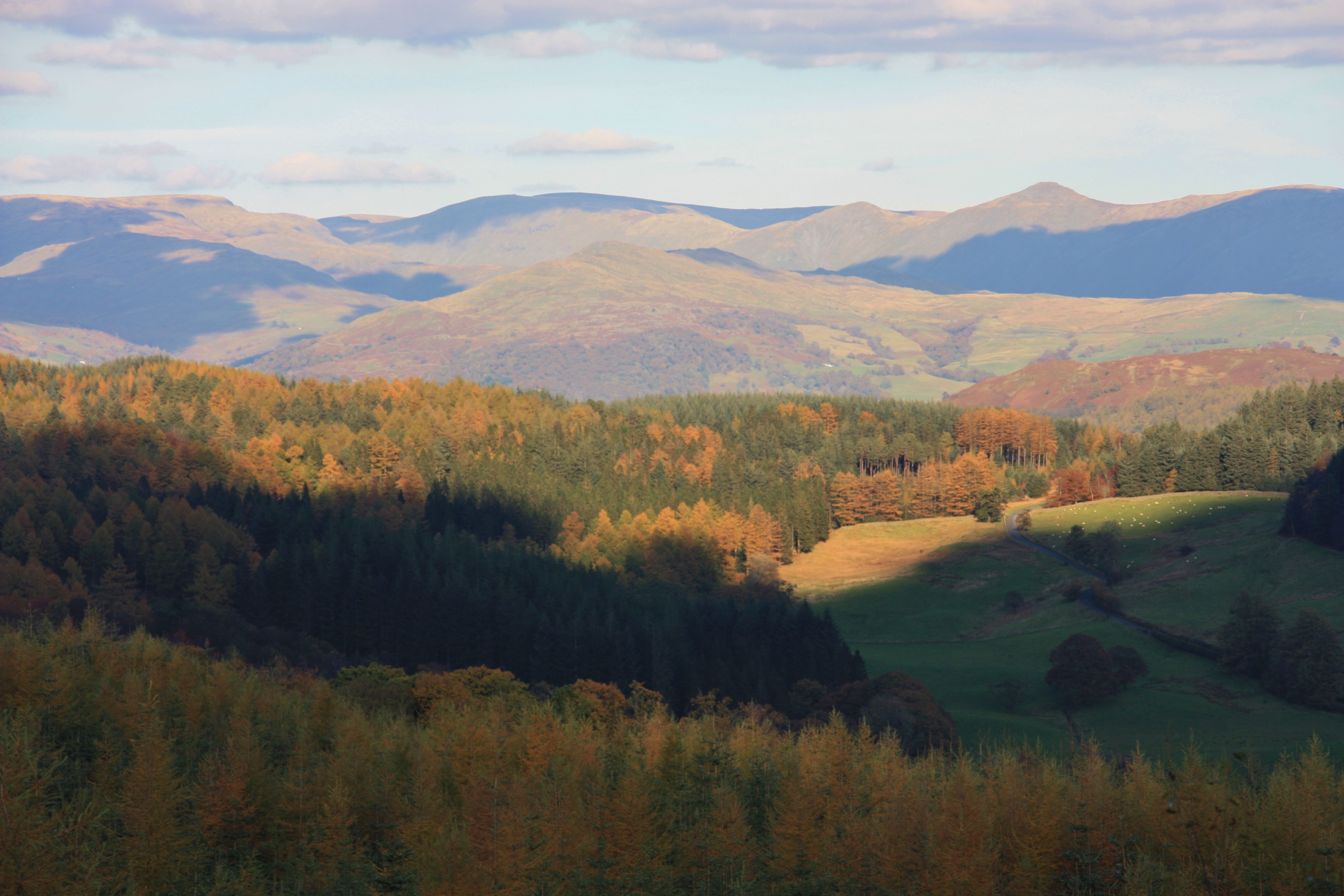
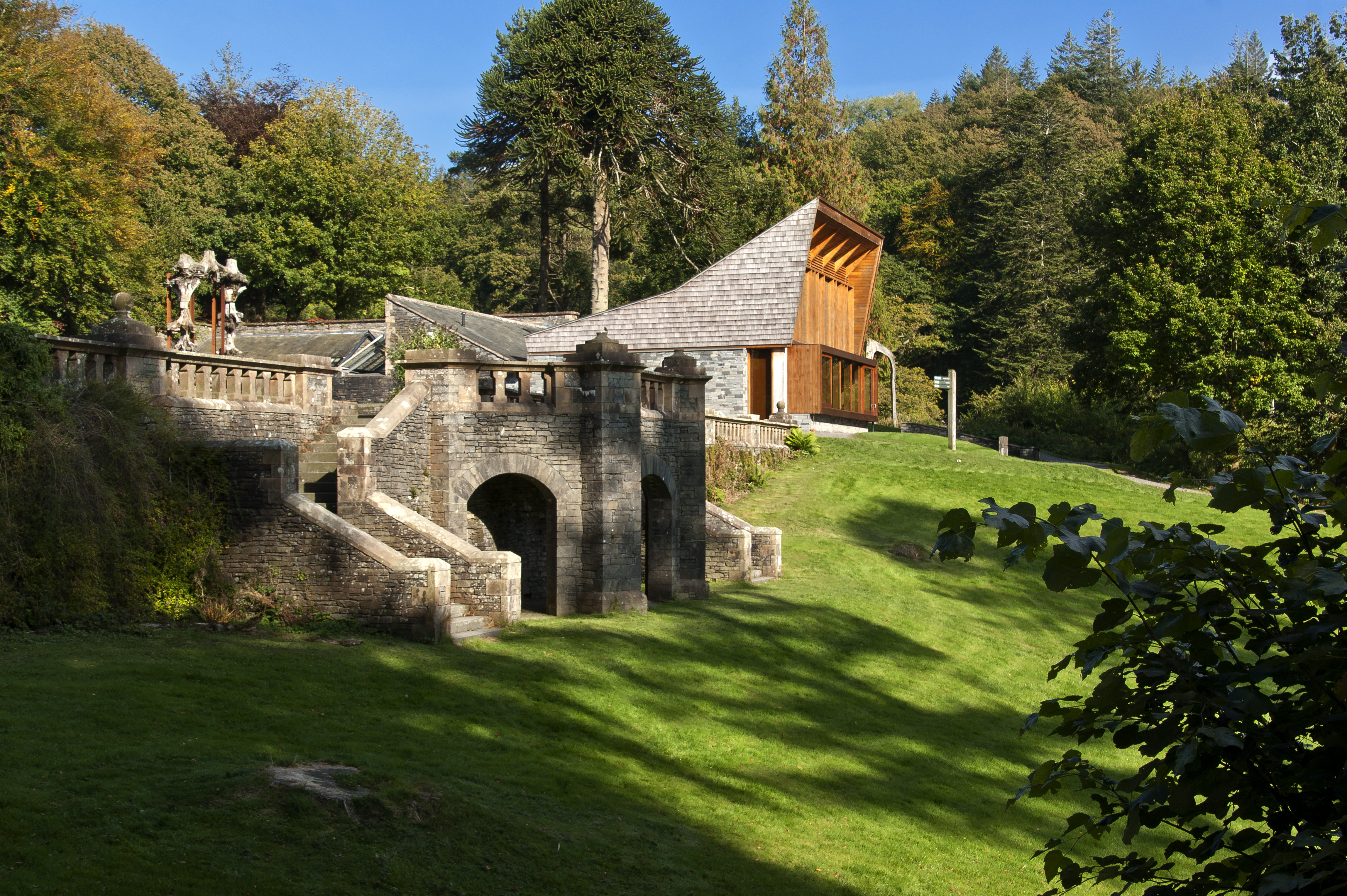
Grizedale Forest

Grizedale Forest is a 24.47 km2 area of woodland in the Lake District of North West England, located to the east of Coniston Water and to the south of...
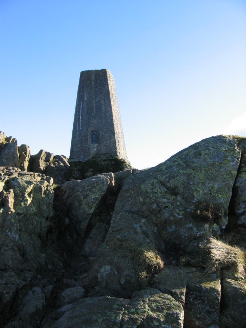
Carron Crag

Carron Crag is a small fell in Grizedale Forest in the English Lake District with a height of 314 metres (1,030 ft). Adjacent to the trig point is a large...

Esthwaite Water

Esthwaite Water is one of the smaller and lesser known lakes in the Lake District National Park in northern England. It is situated between the much larger...

Satterthwaite

Satterthwaite is a small village (and civil parish) with around 50 dwellings situated in Grizedale, a valley in the Lake District, England, about four...
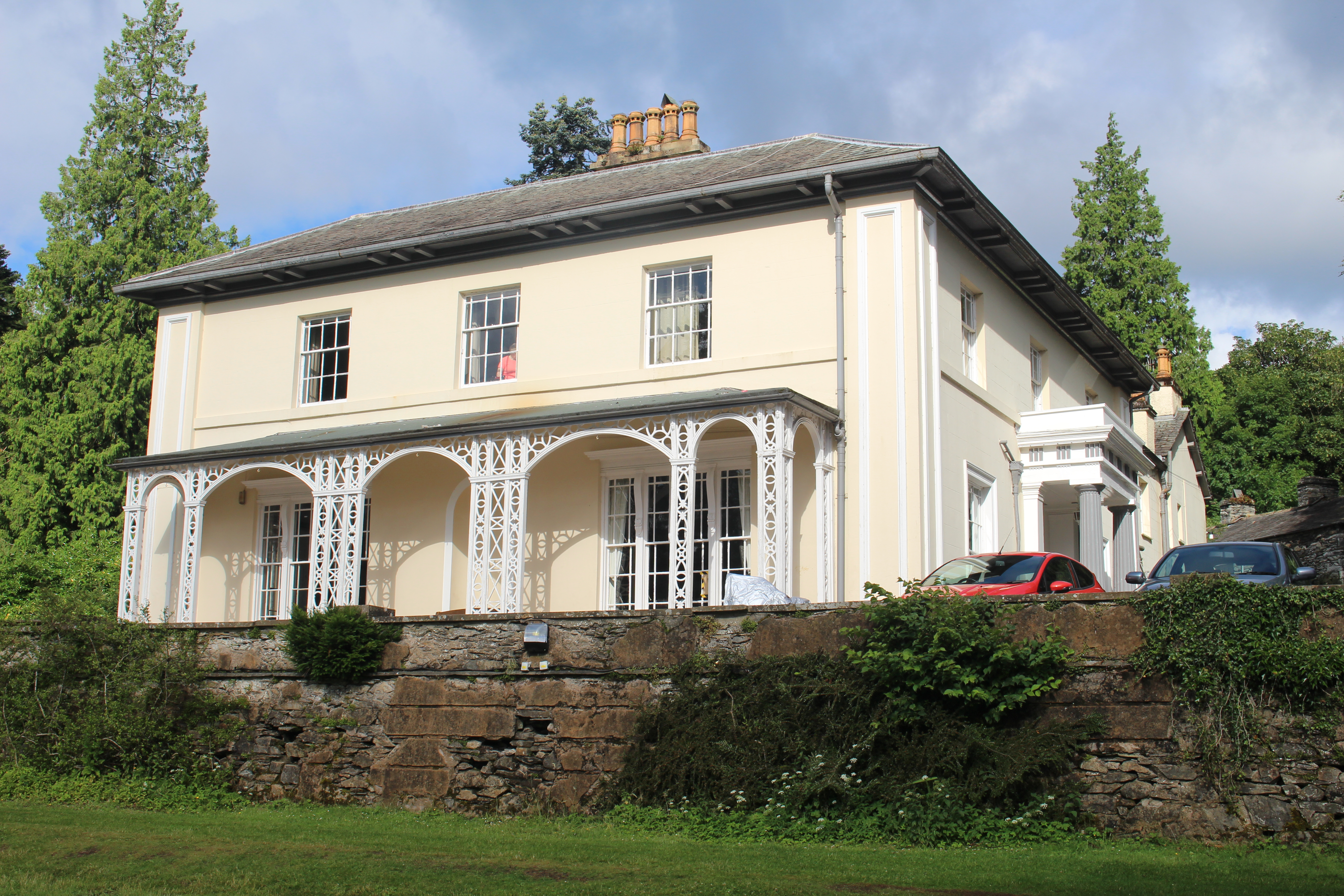
Esthwaite Lodge

Esthwaite Lodge is a 19th-century house in Hawkshead, Cumbria, England; it is a Grade II listed building. The house was commissioned by Thomas Alcock...

Lawson Park

Lawson Park is a remote English Lake District hillfarm, leased by Grizedale Arts (a contemporary art commissioner) from the Forestry Commission. It is...

Related Videos

Lake District Walking Trail - Grizedale

This walk starts at the Grizedale visitors centre. The forest is famous for its artwork. To download a GPS of the walk, please visit: ...

Travel the World (Trailer 4K)

welcome guys on my youtube channel i am a Photo and Videographer, i do Carporns/Bikeporns and other crazy content. so enjoy ...

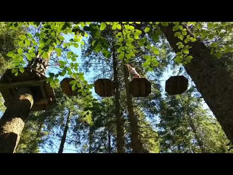
Zip Trekking - Go Ape Grizedale (The Lake District)

Zip lining in the Lake District at Go Ape in Grizedale Forest.

Nearby Amenities

Located within 500m of 54.34314,-3.0119467
Bench
Backrest: yes
Material: wood
Lat/Long: 54.3405095/-3.0084193
Concrete Country
Artist Name: Lucy Tomlins
Artwork Type: sculpture
Tourism: artwork
Lat/Long: 54.3411429/-3.0158347
Romeo, Rupert, Ackroyd & Owen Bullet
Artwork Type: sculpture
Tourism: artwork
Lat/Long: 54.3460593/-3.0075896
Artwork Type: sculpture
Tourism: artwork
Lat/Long: 54.3416587/-3.008712
Power: pole
Lat/Long: 54.3442444/-3.0187595
Power: pole
Lat/Long: 54.3450186/-3.0176899
Power: pole
Lat/Long: 54.3455256/-3.0164438
Power: pole
Lat/Long: 54.345934/-3.015442
Power: pole
Lat/Long: 54.3464785/-3.014105
Power: pole
Lat/Long: 54.3469731/-3.0128714
Power: pole
Lat/Long: 54.3475757/-3.0114008
The data included in this document is from www.openstreetmap.org. The data is made available under ODbL.

Have you been to Braithwaite Plantation?

Leave your review of Braithwaite Plantation below (or comments, questions and feedback).