Stricely Wood
Wood, Forest in Lancashire South Lakeland
England
Stricely Wood
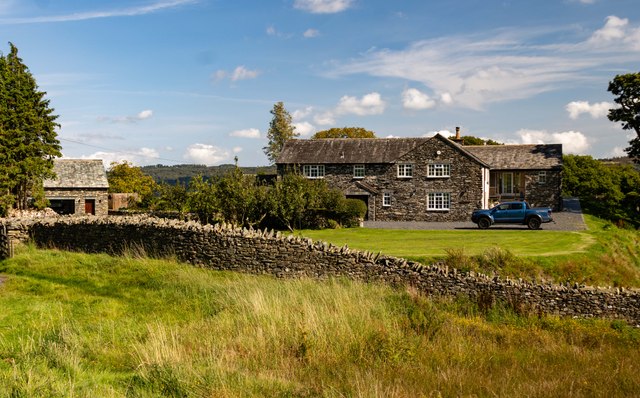
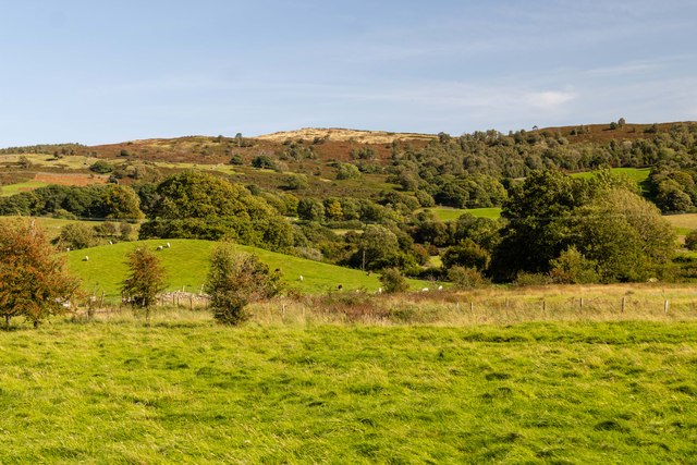
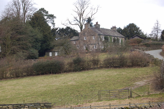
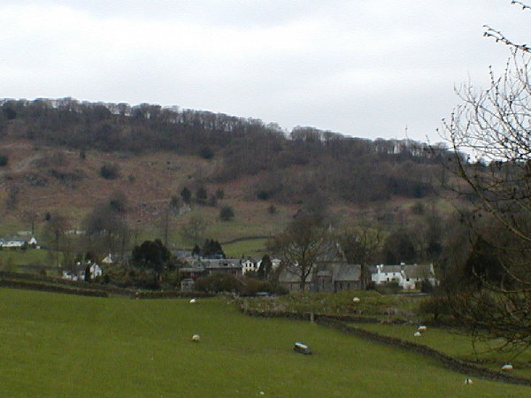
Stricely Wood is a picturesque forest located in the county of Lancashire, England. Situated in the northwestern part of the county, it covers an area of approximately 100 acres and is known for its diverse flora and fauna, making it a popular destination for nature enthusiasts and hikers.
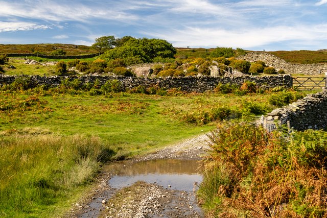
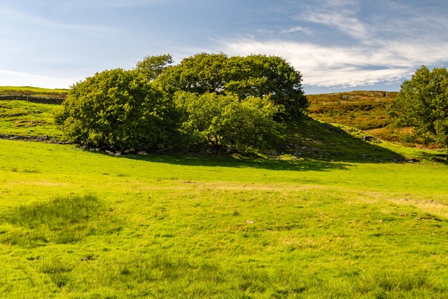
The wood is characterized by its dense canopy of trees, which primarily consists of oak, beech, and ash. These towering trees provide ample shade and create a tranquil atmosphere within the forest. The forest floor is covered in a thick layer of leaf litter, which supports a wide variety of plant life, including bluebells, ferns, and mosses.
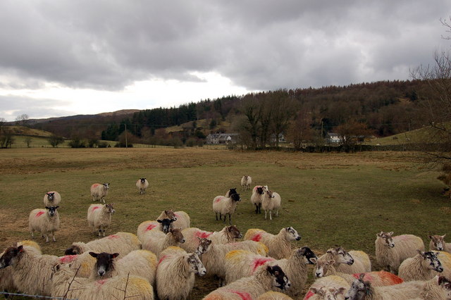
The wood is home to a rich array of wildlife. Birdwatchers can spot numerous species of birds, such as woodpeckers, owls, and thrushes, while small mammals like squirrels, foxes, and badgers can also be observed. The presence of a small stream running through the forest adds to the diversity of the ecosystem, attracting amphibians and insects.
Stricely Wood offers several walking trails, varying in length and difficulty, allowing visitors to explore the area at their own pace. Along these paths, visitors can enjoy breathtaking views of the wood, listen to the soothing sounds of nature, and experience the serenity of the forest.
The wood is open to the public year-round and provides a peaceful retreat away from the hustle and bustle of urban life. With its natural beauty and abundant wildlife, Stricely Wood is a haven for those seeking a connection with nature in Lancashire.
If you have any feedback on the listing, please let us know in the comments section below.
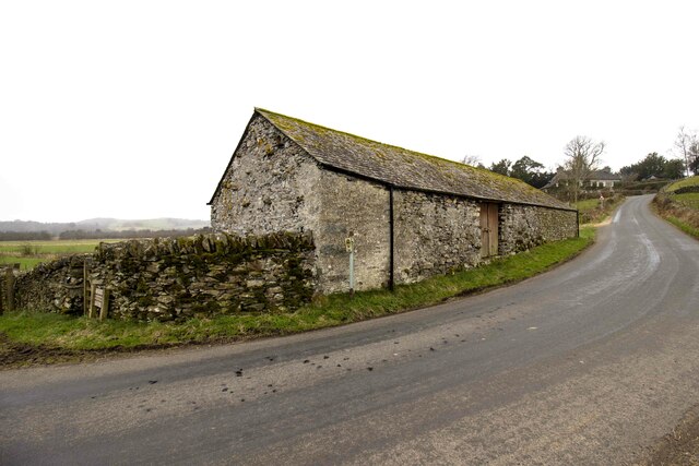
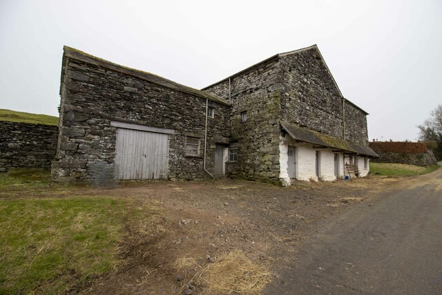
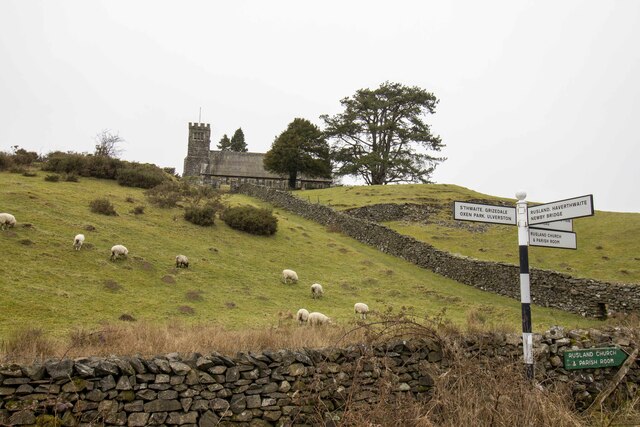
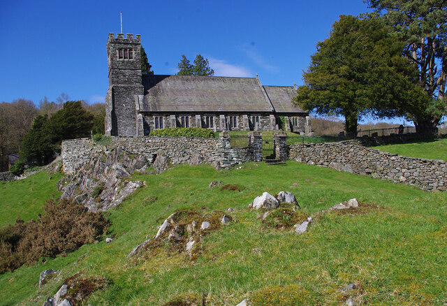
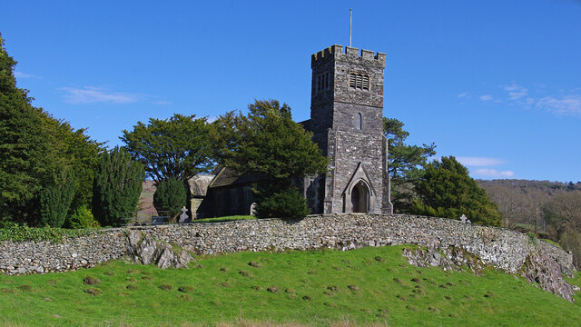
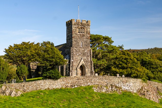
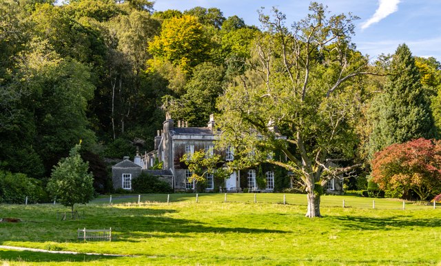
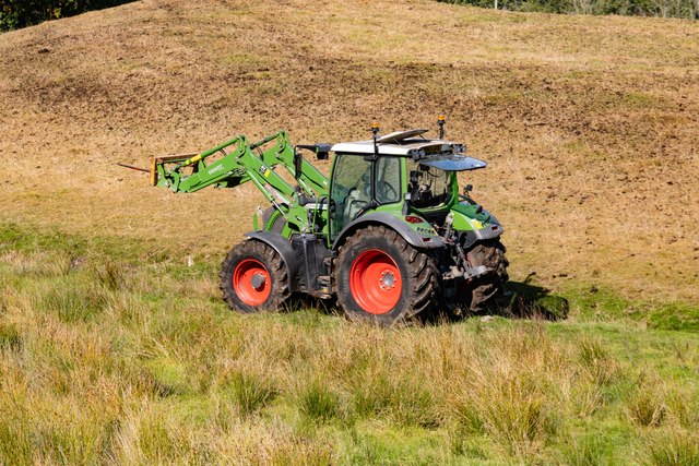
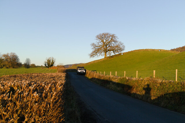
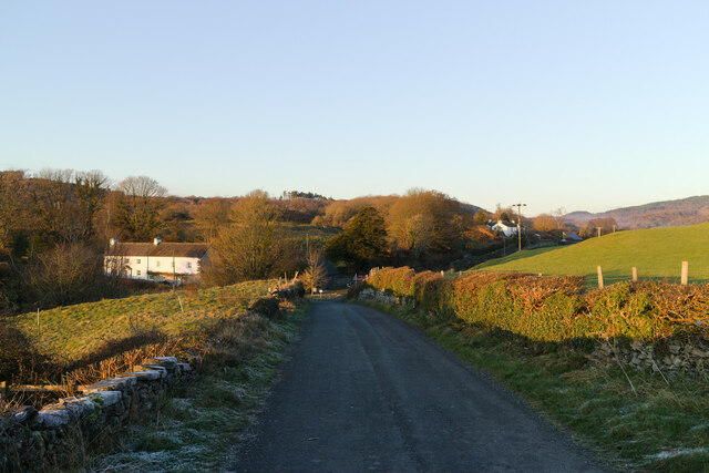
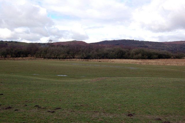
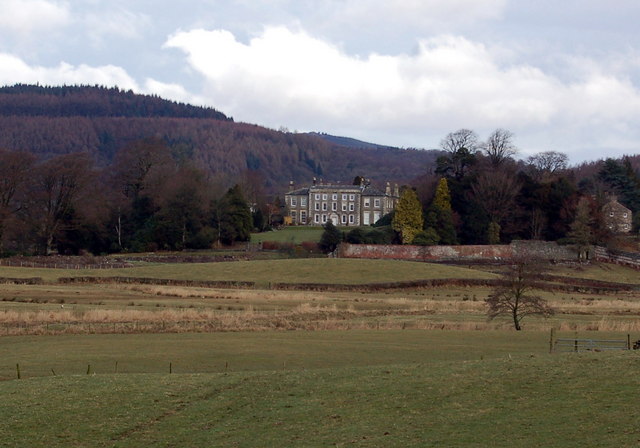
Stricely Wood Images
Images are sourced within 2km of 54.302123/-3.0223274 or Grid Reference SD3390. Thanks to Geograph Open Source API. All images are credited.
Stricely Wood is located at Grid Ref: SD3390 (Lat: 54.302123, Lng: -3.0223274)
Administrative County: Cumbria
District: South Lakeland
Police Authority: Cumbria
What 3 Words
///cherished.nipped.careful. Near Windermere, Cumbria
Nearby Locations
Related Wikis

Crosslands
Crosslands is a hamlet in the South Lakeland district of Cumbria, England. It is located just to the northeast of Rusland in the civil parish of Colton...

Satterthwaite & Rusland School
Satterthwaite & Rusland School was a Church of England Primary school near Force Forge in the Rusland Valley. The school was established in 1840 for children...

Rusland Hall
Rusland Hall is a country house in the English Lake District. The present building dates from about 1720. The Hall was owned by the Rawlinson family in...

Rusland, Cumbria
Rusland is a village in the South Lakeland district of Cumbria, England. It is located just to the southwest of Crosslands in the civil parish of Colton...

Satterthwaite
Satterthwaite is a small village (and civil parish) with around 50 dwellings situated in Grizedale, a valley in the Lake District, England, about four...

North Lonsdale Rural District
North Lonsdale was a rural district in the county of Lancashire, England from 1894 to 1974. It was created in 1894 as the Ulverston Rural District, and...
Finsthwaite Heights
Finsthwaite Heights is an upland area in the English Lake District, above Finsthwaite, Cumbria. It is the subject of a chapter of Wainwright's book The...

Top o'Selside
Top o'Selside is a hill in the Lake District in Cumbria, England. At 335 metres (1,099 ft), it is the highest point of the group of hills situated between...
Nearby Amenities
Located within 500m of 54.302123,-3.0223274Have you been to Stricely Wood?
Leave your review of Stricely Wood below (or comments, questions and feedback).