Wallet Wood

Wood, Forest in Lancashire South Lakeland

England

Wallet Wood

Vernacular farm building
Vernacular farm building Credit: P Gaskell

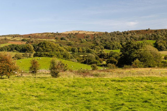
Wallet Wood is a charming forest located in the county of Lancashire, England. Spread across an area of approximately 50 acres, this woodland area is known for its natural beauty and diverse flora and fauna. It is situated near the village of Wood, providing a peaceful and serene environment for visitors.

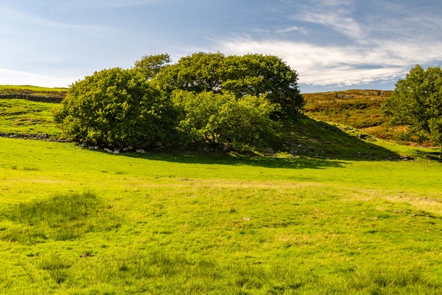
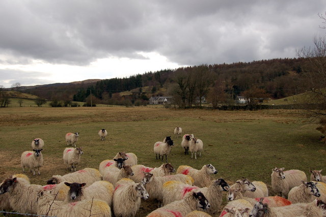
The woodland is predominantly composed of broadleaf trees such as oak, beech, and birch, which create a picturesque landscape throughout the year. These trees offer a dense canopy, providing shelter and a habitat for various wildlife species. Visitors to Wallet Wood can expect to encounter a range of animals, including deer, squirrels, foxes, and a wide variety of bird species.

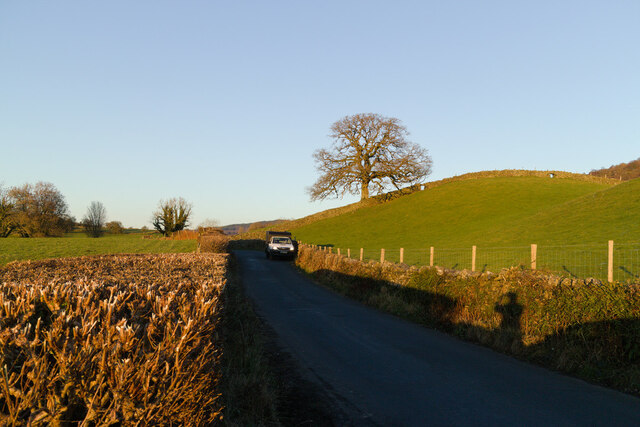
The forest is crisscrossed by several well-maintained walking trails, allowing visitors to explore the area at their own pace. These trails lead to different parts of the woodland, offering scenic views and opportunities for nature photography. The wood also has a small picnic area, where visitors can relax and enjoy a meal amidst the tranquil surroundings.

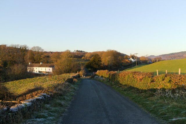
Wallet Wood is popular among nature enthusiasts, hikers, and families who seek a peaceful retreat away from the hustle and bustle of urban life. Its close proximity to Wood village makes it easily accessible, and there is ample parking available for visitors.

Overall, Wallet Wood in Lancashire is a hidden gem, offering a unique opportunity to connect with nature and enjoy the beauty of a well-preserved woodland area.

If you have any feedback on the listing, please let us know in the comments section below.
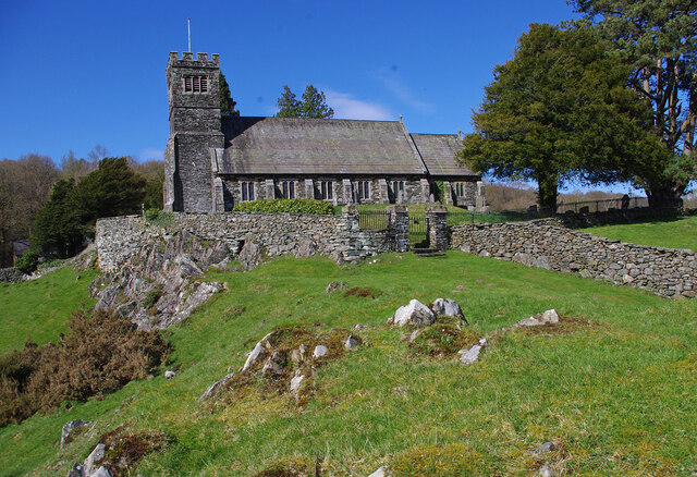
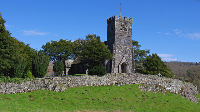
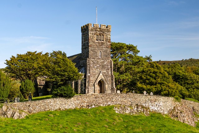
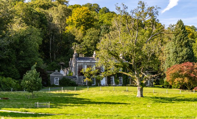
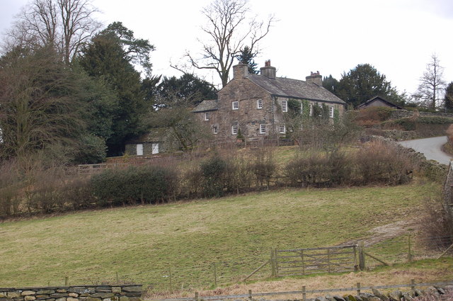
Wallet Wood Images

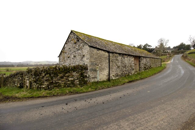
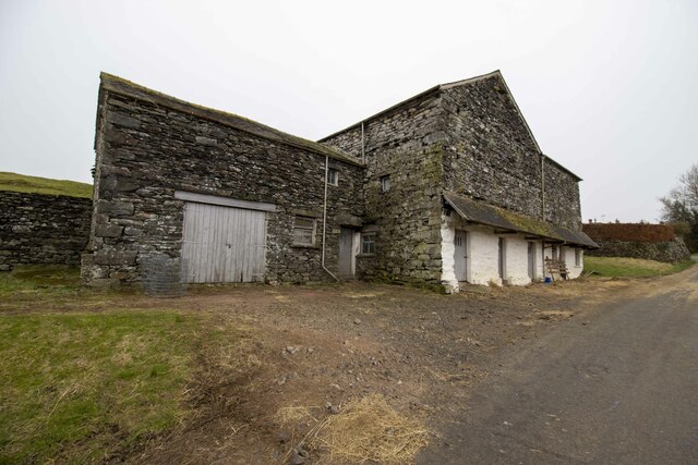
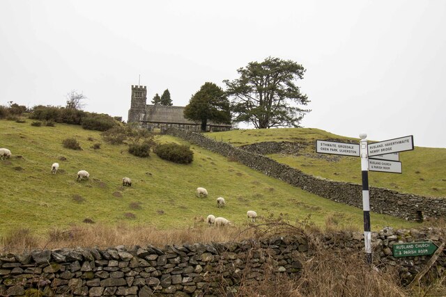
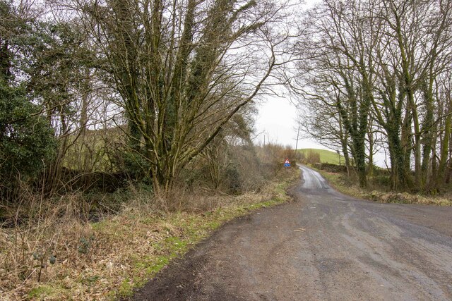
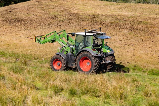
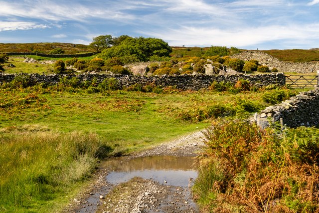
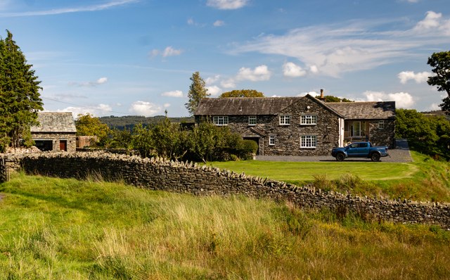
Images are sourced within 2km of 54.30234/-3.0285413 or Grid Reference SD3390. Thanks to Geograph Open Source API. All images are credited.

Vernacular farm building
Vernacular farm building at Rusland Cross
Rusland Church
Rusland Church
Road to Low Longmire
St Paul's Church, Rusland Built on a prominent rocky knoll. Grade II Listed Building. See <span class="nowrap"><a title="https://historicengland.org.uk/listing/the-list/list-entry/1225406" rel="nofollow ugc noopener" href="https://historicengland.org.uk/listing/the-list/list-entry/1225406">Link</a><img style="margin-left:2px;" alt="External link" title="External link - shift click to open in new window" src="https://s1.geograph.org.uk/img/external.png" width="10" height="10"/></span>
St Paul's Church, Rusland
Built on a prominent rocky knoll. Grade II Listed Building. See LinkExternal link
St Paul's St Paul's Church.
St Paul's
St Paul's Church.
Whitestock Hall
Whitestock Hall
Tractor Tractor near Danes How.
Tractor
Tractor near Danes How.
Ash Slack
Ash Slack
Copse A copse alongside the High Ickenthwaite to Oxen Park byway.
Copse
A copse alongside the High Ickenthwaite to Oxen Park byway.
Thwaite Moss View across fields at Thwaite Moss.
Thwaite Moss
View across fields at Thwaite Moss.
Road and tree near Rusland Cross
Cinder Hill, Rusland Cross
Rusland Hall
Rusland Hall
Across the fields to Thwaite Moss
Farmhouse at Rusland Cross
Show me another place!

Wallet Wood is located at Grid Ref: SD3390 (Lat: 54.30234, Lng: -3.0285413)

Administrative County: Cumbria

District: South Lakeland

Police Authority: Cumbria

What 3 Words

///beside.fake.amplifier. Near Windermere, Cumbria

Related Wikis

Crosslands

Crosslands is a hamlet in the South Lakeland district of Cumbria, England. It is located just to the northeast of Rusland in the civil parish of Colton...

Satterthwaite & Rusland School

Satterthwaite & Rusland School was a Church of England Primary school near Force Forge in the Rusland Valley. The school was established in 1840 for children...
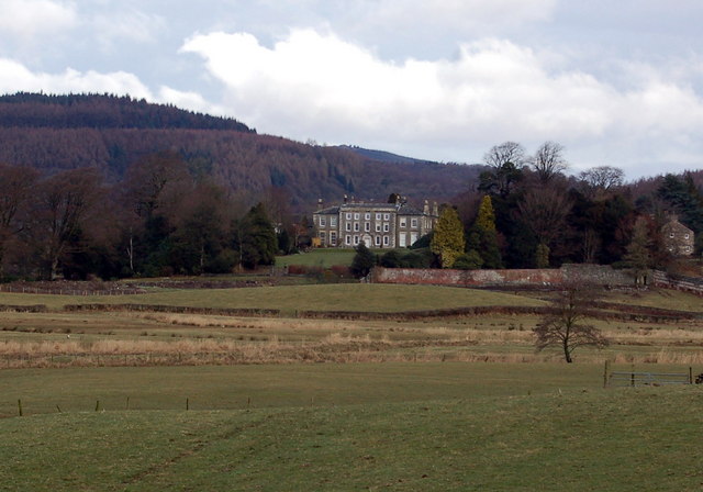
Rusland Hall

Rusland Hall is a country house in the English Lake District. The present building dates from about 1720. The Hall was owned by the Rawlinson family in...

Rusland, Cumbria

Rusland is a village in the South Lakeland district of Cumbria, England. It is located just to the southwest of Crosslands in the civil parish of Colton...

Nearby Amenities

Located within 500m of 54.30234,-3.0285413
Bus Stop
Force Forge Farm (N bound)
Naptan AtcoCode: 090079592291
Naptan Bearing: E
Naptan BusStopType: CUS
Naptan CommonName: Force Forge Farm (N bound)
Naptan Indicator: o/s
Naptan Landmark: Force Forge Farm
Naptan NaptanCode: cumdmdtd
Naptan Street: No name
Naptan Verified: no
Source: naptan_import
Lat/Long: 54.3048858/-3.0253639
Bus Stop
Force Forge Farm (S bound)
Naptan AtcoCode: 090079594413
Naptan Bearing: S
Naptan BusStopType: CUS
Naptan CommonName: Force Forge Farm (S bound)
Naptan Indicator: opp
Naptan Landmark: Force Forge Farm
Naptan NaptanCode: cumdtjgd
Naptan Notes: Created for X30 - was on one side of road only.
Naptan Street: No Name
Naptan Verified: no
Source: naptan_import
Lat/Long: 54.3046781/-3.0254816
Power: pole
Lat/Long: 54.3045975/-3.025554
Power: pole
Lat/Long: 54.3048534/-3.025053
Power: pole
Lat/Long: 54.3054504/-3.0245272
The data included in this document is from www.openstreetmap.org. The data is made available under ODbL.

Have you been to Wallet Wood?

Leave your review of Wallet Wood below (or comments, questions and feedback).