Nind Wood

Wood, Forest in Shropshire

England

Nind Wood

Farm track to Grit Farm
Farm track to Grit Farm Credit: John H Darch

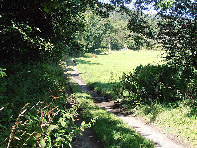
Nind Wood is a picturesque forest located in Shropshire, England. Covering an area of approximately 120 acres, this woodland is a haven for nature-lovers and outdoor enthusiasts. It is situated near the small village of Wood, providing a tranquil escape from the hustle and bustle of urban life.

The wood is predominantly composed of deciduous trees, such as oak, beech, and ash, which create a rich and diverse habitat for a variety of wildlife. Visitors can expect to spot a range of bird species, including woodpeckers, owls, and warblers, as well as small mammals like squirrels and foxes. The forest floor is carpeted with vibrant bluebells during springtime, adding to the enchanting atmosphere.

Nind Wood offers several well-maintained walking trails, allowing visitors to explore its natural beauty at their own pace. These trails vary in length and difficulty, catering to both casual strollers and experienced hikers. The paths wind through the forest, offering glimpses of hidden ponds and meadows along the way.

For those interested in history, Nind Wood also has some intriguing features. It is home to the remnants of an ancient settlement, with archaeological evidence suggesting human habitation dating back thousands of years. The wood has been carefully preserved to protect these historical sites, adding an extra layer of fascination to the area.

Overall, Nind Wood is a captivating destination for anyone seeking solace in nature, whether it be for a peaceful walk, birdwatching, or simply enjoying the tranquility of the forest.

If you have any feedback on the listing, please let us know in the comments section below.
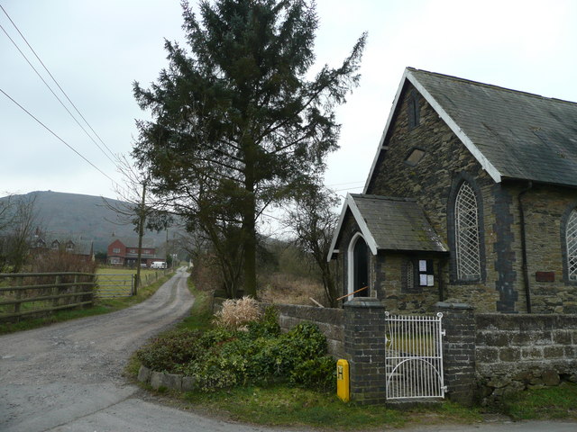
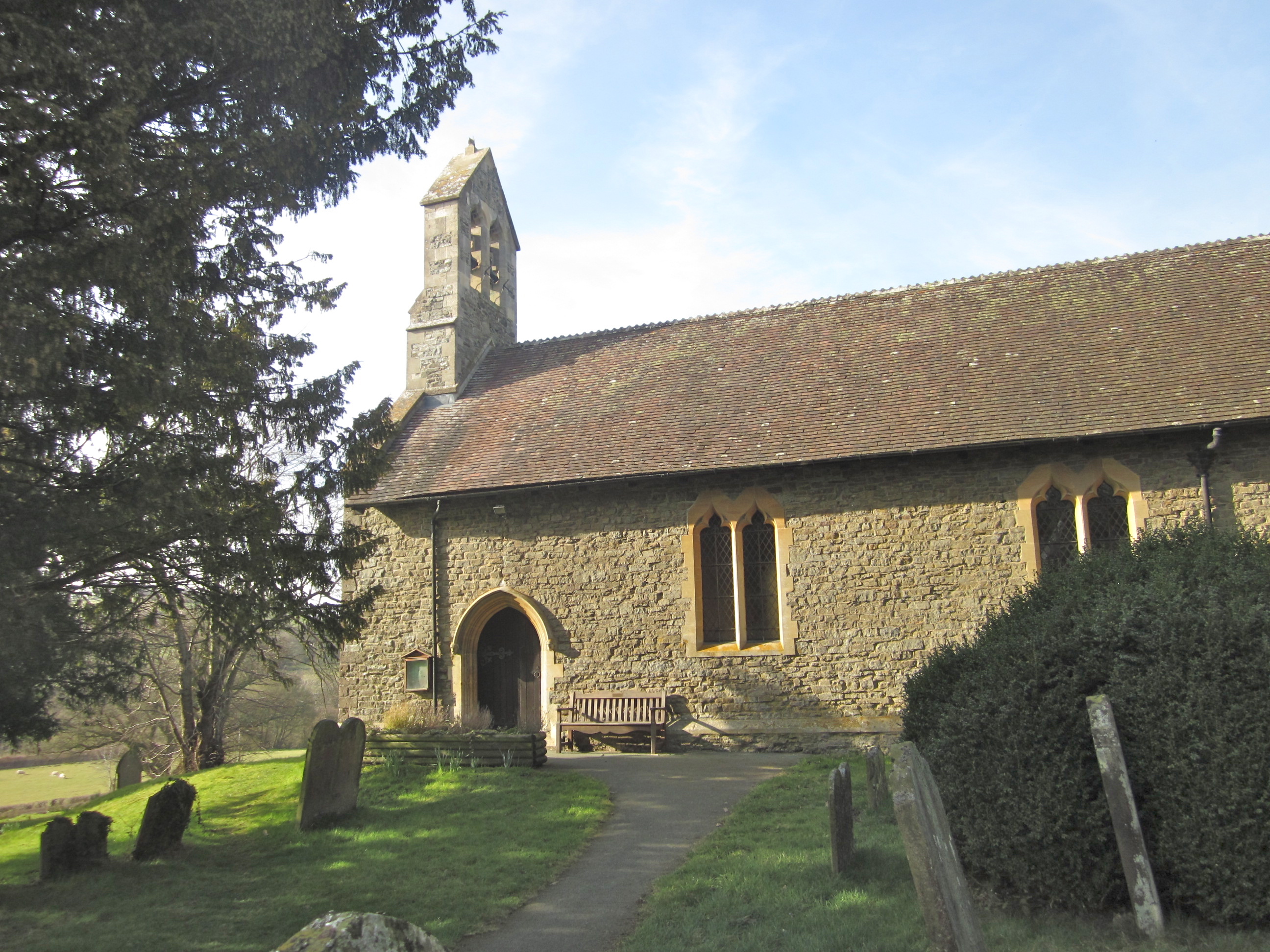
Nind Wood Images

Images are sourced within 2km of 52.557606/-2.9841378 or Grid Reference SO3395. Thanks to Geograph Open Source API. All images are credited.

Farm track to Grit Farm
Lane running past Rock Farm The lane got narrower, and the grass in the middle higher.
Lane running past Rock Farm
The lane got narrower, and the grass in the middle higher.
The Rock at Rock Farm Seen from the lane.
The Rock at Rock Farm
Seen from the lane.
Lane dropping down to Rock Farm The northwards section from the farm must be more heavily used, as it is almost grass-free.
Lane dropping down to Rock Farm
The northwards section from the farm must be more heavily used, as it is almost grass-free.
Nettles and trees The edge of a field west of Rock Farm.
Nettles and trees
The edge of a field west of Rock Farm.
Wooded hillside west of Rock Farm Seen from the lane.
Wooded hillside west of Rock Farm
Seen from the lane.
Down beyond The Rock on Stiperstones Ridge A more remote part of the Stiperstones.
Down beyond The Rock on Stiperstones Ridge
A more remote part of the Stiperstones.
Part of the Stiperstones ridge, near Black Rhadley Hill Purple heather, red tinted whinberry and yellow grasses make the end of the Stiperstones ridge a colourful place. The view ahead is to Black Rhadley Hill.
Part of the Stiperstones ridge, near Black Rhadley Hill
Purple heather, red tinted whinberry and yellow grasses make the end of the Stiperstones ridge a colourful place. The view ahead is to Black Rhadley Hill.
Walking near The Rock on Stiperstones ridge This is as close to wilderness walking as you can get in a county like Shropshire. It's not remote but feels like it as it is not often visited.
Walking near The Rock on Stiperstones ridge
This is as close to wilderness walking as you can get in a county like Shropshire. It's not remote but feels like it as it is not often visited.
Quiet farmtrack
Quiet farmtrack
Heather on the hillside
Little used pathway
Little used pathway
Heath Mynd Parked in triangular roadside bit and looped round the back and up and over. Very heathery and lots of bilberries.
Name: Heath Mynd
Hill number: 2842
Height: 452m / 1483ft
Area: 38A: Shropshire
Class: Ma
Grid ref: SO 33560 94085
Summit feature: trig point
Drop: 190m
Col: 262m  SO324944
Heath Mynd
Parked in triangular roadside bit and looped round the back and up and over. Very heathery and lots of bilberries. Name: Heath Mynd Hill number: 2842 Height: 452m / 1483ft Area: 38A: Shropshire Class: Ma Grid ref: SO 33560 94085 Summit feature: trig point Drop: 190m Col: 262m SO324944
A very alpine Shropshire! This is at the southern end of the Stiperstones.
A very alpine Shropshire!
This is at the southern end of the Stiperstones.
Snow blocked road near the Stiperstones
Snow blocked road close to the Stiperstones An unseasonably cold snowy day at the start of April!
The dark patches are the tarmac of the road.
Snow blocked road close to the Stiperstones
An unseasonably cold snowy day at the start of April! The dark patches are the tarmac of the road.
Disused mine shaft The snow is doing a good job of highlighting this mine shaft, a relic from this area's mining past.
Disused mine shaft
The snow is doing a good job of highlighting this mine shaft, a relic from this area's mining past.
The end of the road At this point they seem to have stopped ploughing the public road as drifts blocked it again.
The clear road on the right is a private track to the Minsterley Ranges shooting club.
This <a title="https://www.geograph.org.uk/photo/3392960" href="https://www.geograph.org.uk/photo/3392960">Link</a> shows how deep the snow is.
The end of the road
At this point they seem to have stopped ploughing the public road as drifts blocked it again. The clear road on the right is a private track to the Minsterley Ranges shooting club. This Link shows how deep the snow is.
Show me another place!

Nind Wood is located at Grid Ref: SO3395 (Lat: 52.557606, Lng: -2.9841378)

Unitary Authority: Shropshire

Police Authority: West Mercia

What 3 Words

///health.typist.orchestra. Near Norbury, Shropshire

Nearby Locations

Nind Wood Cefn Gunthly

Related Wikis

Heath Mynd

Heath Mynd is a hill in the English county of Shropshire. At a height of 452 metres (1,483 ft) it is fairly unnotable except for its Marilyn status, a...

White Grit

White Grit is a small, scattered village beneath Corndon Hill in Powys, Wales, directly on the border with (and partly in) Shropshire. The nearby village...

Hyssington

Hyssington (Welsh: Isatyn) is a parish in the South-Eastern corner of the historic county of Montgomeryshire in Wales and borders the county of Shropshire...

Corndon Hill

Corndon Hill (Welsh: Cornatyn) is a hill in Powys, Mid Wales, whose isolated summit rises to 513.6 metres (1,685 ft) above sea level. It has a topographic...

Related Videos

Nipstone Nature Reserve revisted

Nipstone Rock https://www.shropshirewildlifetrust.org.uk/nature-reserves/nipstone-rock please note due to the age of these ...

Nearby Amenities

Located within 500m of 52.557606,-2.9841378
Nind
Is In: Shropshire
Place: hamlet
Source: NPE
Lat/Long: 52.5587824/-2.985274
Material: metal
Lat/Long: 52.5555306/-2.982122
Ford: yes
Lat/Long: 52.5537915/-2.9819169
The data included in this document is from www.openstreetmap.org. The data is made available under ODbL.

Have you been to Nind Wood?

Leave your review of Nind Wood below (or comments, questions and feedback).