Cnoc Ard

Settlement in Ross-shire

Scotland

Cnoc Ard

Skaraval at Port Nis View along the coast from Skaraval at Port Nis.
Skaraval at Port Nis Credit: Ajay Tegala

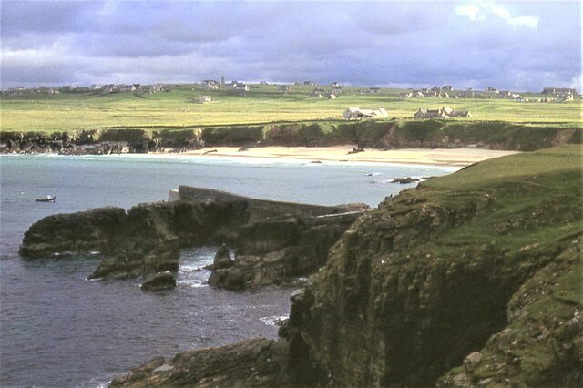
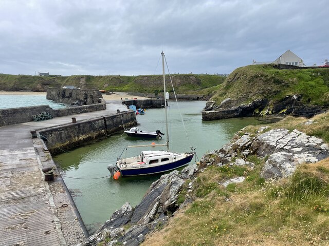
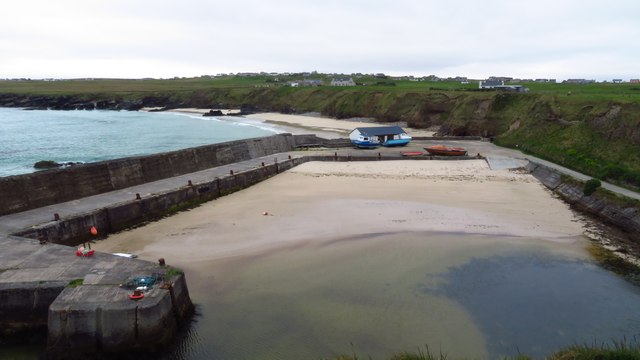
Cnoc Ard is a small village located in the county of Ross-shire, in the Highland region of Scotland. Situated on the picturesque Black Isle peninsula, Cnoc Ard offers stunning views of the surrounding countryside and the nearby Moray Firth.

The village is known for its peaceful and idyllic setting, making it a popular destination for those seeking a tranquil retreat. The landscape in and around Cnoc Ard is characterized by rolling hills, lush green meadows, and dense woodlands, providing ample opportunities for outdoor activities such as hiking, cycling, and birdwatching.

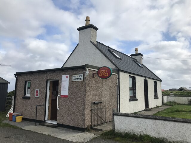
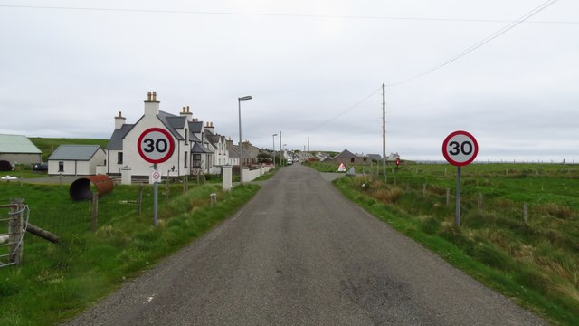
Despite its small size, Cnoc Ard boasts a strong sense of community with a range of amenities available for residents and visitors alike. The village has a local shop, a post office, and a pub where locals and tourists can gather for a drink and a chat. Additionally, there is a primary school serving the village and the surrounding areas.

Cnoc Ard is also well-positioned for exploring the wider region. The nearby town of Tain, with its historic architecture and charming shops, is just a short drive away. Inverness, the regional capital, is also within easy reach, offering a wider range of amenities and attractions.

Overall, Cnoc Ard is a peaceful and scenic village on the Black Isle peninsula, providing a perfect base for exploring the stunning natural beauty and rich cultural heritage of Ross-shire and the Scottish Highlands.

If you have any feedback on the listing, please let us know in the comments section below.
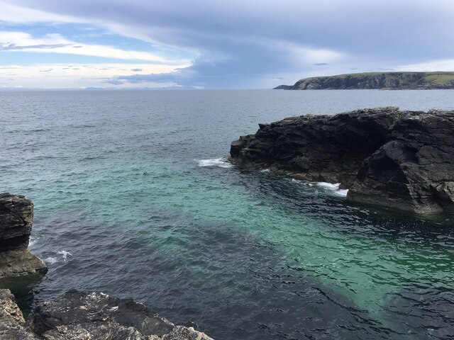
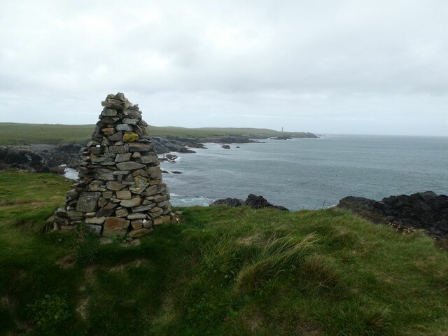
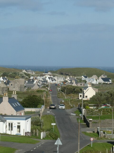
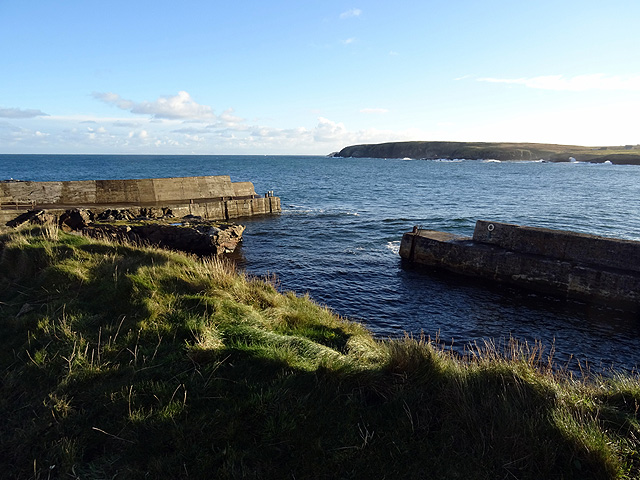
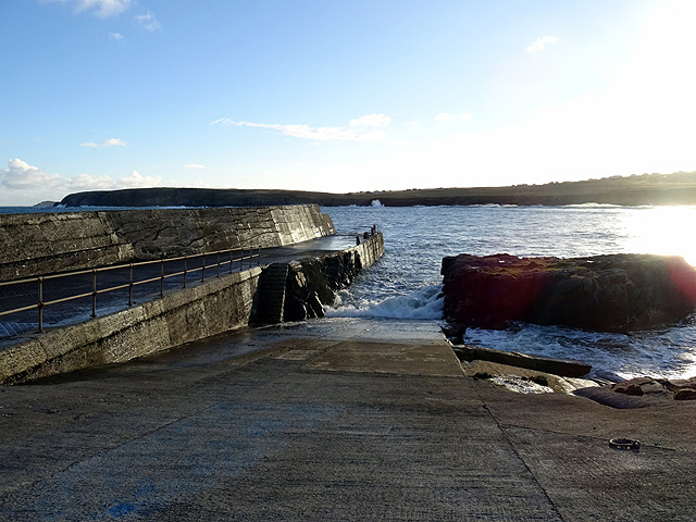
Cnoc Ard Images

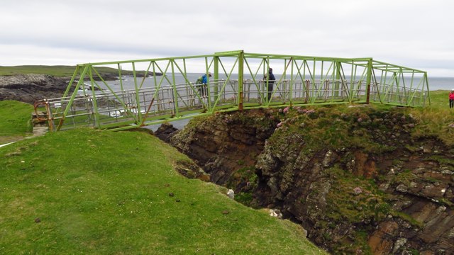
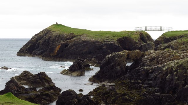
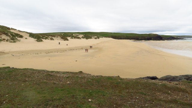
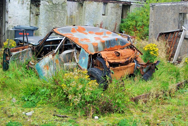
Images are sourced within 2km of 58.493972/-6.2405557 or Grid Reference NB5364. Thanks to Geograph Open Source API. All images are credited.

Skaraval at Port Nis View along the coast from Skaraval at Port Nis.
Skaraval at Port Nis
View along the coast from Skaraval at Port Nis.
Dun Eistean cairn with distant view of Butt of Lewis lighthouse
Dun Eistean bridge and houses in Knockaird
Port of Ness
Port of Ness
Port of Ness Post Office
Rocky headland at Port of Ness Houses at Callicvol sit above the beach.
Rocky headland at Port of Ness
Houses at Callicvol sit above the beach.
Port Nis In around 1999, the Ordnance Survey replaced English-language placenames in the Western Isles with Gaelic-language names. Some of the more prominent features (e.g. Isle of Barra; Stornoway; Sound of Harris) do have bilingual labels but, on the whole, villages, lochs, peaks etc. generally have the Gaelic names on the modern-day mapping.

Because the English versions have a tendency not to appear on the maps any more, I have decided to use them in my image titles and, as such, a translation will be readily available from the Gaelic labelling on the map. 

(NB I have not translated some of the more minor loch and river names, where I have not easily found the English version.)
Port Nis
In around 1999, the Ordnance Survey replaced English-language placenames in the Western Isles with Gaelic-language names. Some of the more prominent features (e.g. Isle of Barra; Stornoway; Sound of Harris) do have bilingual labels but, on the whole, villages, lochs, peaks etc. generally have the Gaelic names on the modern-day mapping. Because the English versions have a tendency not to appear on the maps any more, I have decided to use them in my image titles and, as such, a translation will be readily available from the Gaelic labelling on the map. (NB I have not translated some of the more minor loch and river names, where I have not easily found the English version.)
St Molveg's Church, Eoropie
A857 entering Port of Ness
Harbour at Port of Ness
Footbridge linking Lewis with Dun Eistean
Dun Eistean & connecting bridge near Butt of Lewis
Cunndal Drownings Memorial, Eoropie This is a memorial to the men lost here on 5th March 1885, when the local fishing fleet was caught in a terrible gale. Two boats attempted to seek shelter at Cunndal, just north of this point. Both boats and twelve men – all from Eoropie - were lost.
Cunndal Drownings Memorial, Eoropie
This is a memorial to the men lost here on 5th March 1885, when the local fishing fleet was caught in a terrible gale. Two boats attempted to seek shelter at Cunndal, just north of this point. Both boats and twelve men – all from Eoropie - were lost.
Traigh Shanndaigh, Eoropie
Old Rover 2000 (1) The remains of a once-beautiful car crumble away outside a derelict garage.  This series of Rovers was produced at Solihull from 1963 to 1977. <span class="nowrap"><a title="https://en.wikipedia.org/wiki/Rover_P6" rel="nofollow ugc noopener" href="https://en.wikipedia.org/wiki/Rover_P6">Link</a><img style="margin-left:2px;" alt="External link" title="External link - shift click to open in new window" src="https://s1.geograph.org.uk/img/external.png" width="10" height="10"/></span> .  For the front view see <a href="https://www.geograph.org.uk/photo/4705342">NB5363 : Old Rover 2000 (2)</a>.
Old Rover 2000 (1)
The remains of a once-beautiful car crumble away outside a derelict garage. This series of Rovers was produced at Solihull from 1963 to 1977. LinkExternal link . For the front view see NB5363 : Old Rover 2000 (2).
Old Rover 2000 (2) Once a fine car, rusting away outside a derelict garage in Port.  For the rear view see <a href="https://www.geograph.org.uk/photo/4705333">NB5363 : Old Rover 2000 (1)</a>.
Old Rover 2000 (2)
Once a fine car, rusting away outside a derelict garage in Port. For the rear view see NB5363 : Old Rover 2000 (1).
The harbour at Port Nis/Cealagbhal
Port Nis/Cealagbhal slipway
Show me another place!

Cnoc Ard is located at Grid Ref: NB5364 (Lat: 58.493972, Lng: -6.2405557)

Unitary Authority: Na h-Eileanan an Iar

Police Authority: Highlands and Islands

Also known as: Knockaird

What 3 Words

///locate.pronouns.dominate. Near North Tolsta, Na h-Eileanan Siar

Related Wikis

Knockaird

Knockaird (Scottish Gaelic: An Cnoc Àrd) is a village on the Isle of Lewis in the parish of Ness, in the Outer Hebrides, Scotland. It is the highest point...

Lionel, Lewis

Lionel (Scottish Gaelic: Lìonal) is a village in the Ness area of the Isle of Lewis. Lionel is within the parish of Barvas. Lionel is situated near the...

Port of Ness

Port of Ness (Scottish Gaelic: Port Nis) is a village on the Isle of Lewis in the community of Ness, in the Outer Hebrides, Scotland. Port of Ness is within...

Fivepenny

Fivepenny (Scottish Gaelic: Na Còig Peighinnean) is one of the many villages in the Lewis district of Ness (Nis in Gaelic) and part of the Isle of Lewis...

Nearby Amenities

Located within 500m of 58.493972,-6.2405557
An Cnoc Àrd
Name En: Knockaird
Name Gd: An Cnoc Àrd
Place: village
Wikidata: Q6422815
Wikipedia: en:Knockaird
Lat/Long: 58.4983462/-6.2390312
Passing Place
Lat/Long: 58.4947801/-6.2334343
Passing Place
Lat/Long: 58.4962995/-6.2349209
Passing Place
Lat/Long: 58.4909632/-6.2342517
Power: pole
Lat/Long: 58.4898677/-6.2429568
Power: pole
Lat/Long: 58.4973436/-6.23487
Power: pole
Lat/Long: 58.4967593/-6.2354233
Power: pole
Lat/Long: 58.497988/-6.2375118
Power: pole
Lat/Long: 58.4976928/-6.2368917
Power: pole
Lat/Long: 58.4973376/-6.2363428
Power: pole
Lat/Long: 58.4969829/-6.2358202
Power: pole
Lat/Long: 58.4963108/-6.2348156
Power: pole
Lat/Long: 58.4960058/-6.2344082
Power: pole
Lat/Long: 58.495513/-6.233774
Power: pole
Lat/Long: 58.4953478/-6.2336209
Power: pole
Lat/Long: 58.4984134/-6.2397116
Power: pole
Lat/Long: 58.4902948/-6.2387675
Power: pole
Lat/Long: 58.490837/-6.2391903
Power: pole
Lat/Long: 58.4922354/-6.233797
Power: pole
Lat/Long: 58.4918905/-6.2351589
Power: pole
Lat/Long: 58.4915333/-6.2364961
Power: pole
Lat/Long: 58.491243/-6.23759
Power: pole
Lat/Long: 58.4896255/-6.2395344
Power: pole
Lat/Long: 58.4906058/-6.240058
Power: pole
Lat/Long: 58.4902512/-6.2414862
Barrier: cattle_grid
Lat/Long: 58.4948939/-6.2332962
Power: pole
Lat/Long: 58.4982592/-6.2381335
Generator Method: photovoltaic
Generator Output Electricity: small_installation
Generator Source: solar
Generator Type: solar_photovoltaic_panel
Power: generator
Lat/Long: 58.4981293/-6.2373884
The data included in this document is from www.openstreetmap.org. The data is made available under ODbL.

Have you been to Cnoc Ard?

Leave your review of Cnoc Ard below (or comments, questions and feedback).