Mires Wood

Wood, Forest in Lancashire South Lakeland

England

Mires Wood

Cleared Plantation - Grizedale Forest
Cleared Plantation - Grizedale Forest Credit: Anthony Parkes

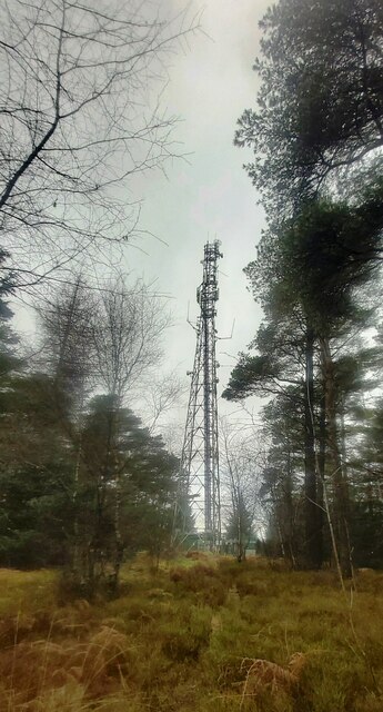
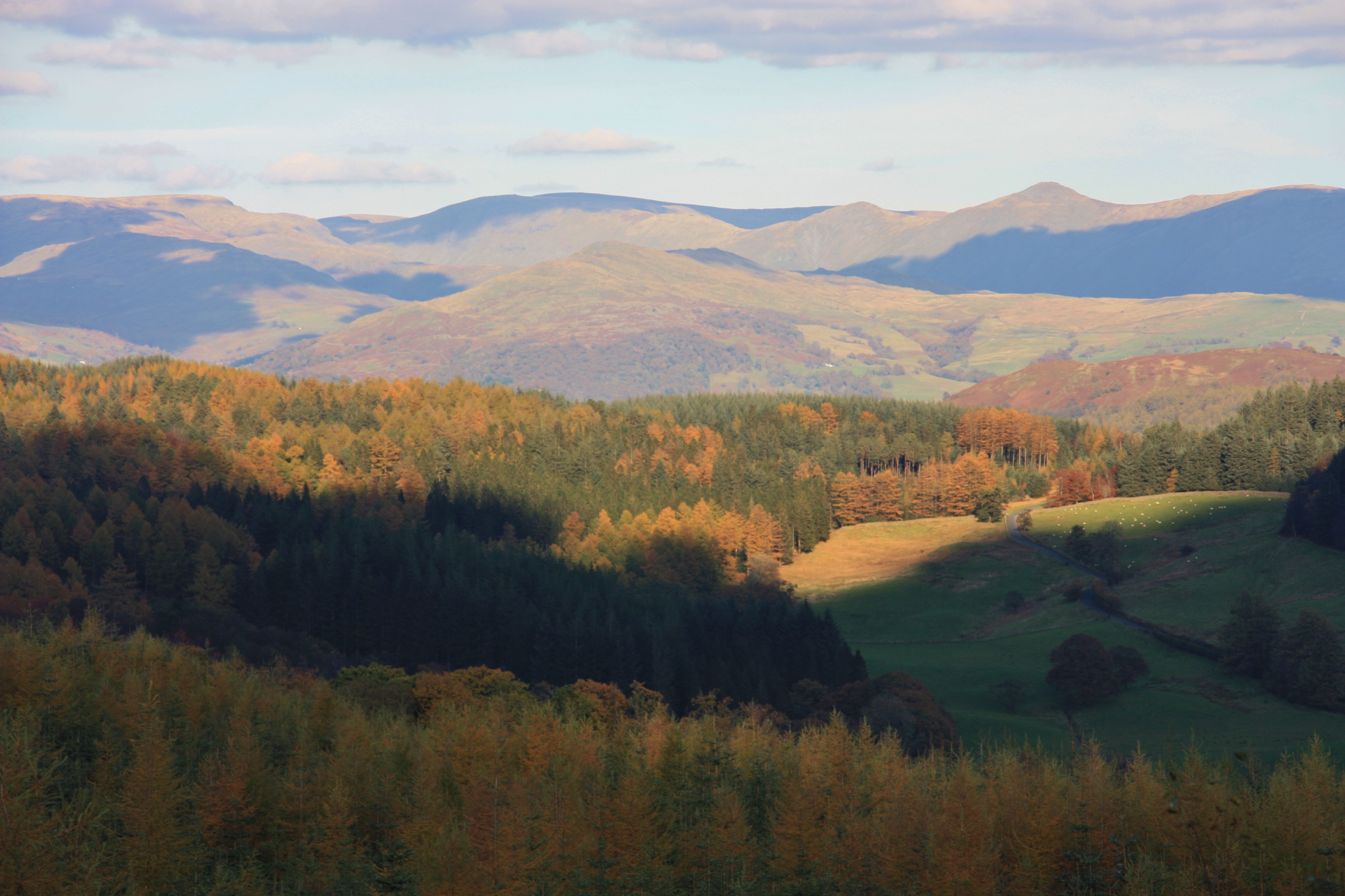
Mires Wood is a picturesque woodland located in Lancashire, England. Situated near the town of Ormskirk, it covers an area of approximately 63 hectares (156 acres). The wood is a mix of deciduous and coniferous trees, creating a diverse and vibrant landscape.

The wood is known for its rich biodiversity, with a variety of flora and fauna inhabiting the area. Visitors can expect to see native species such as oak, birch, beech, and pine trees, providing a lush canopy overhead. The forest floor is carpeted with an array of wildflowers and ferns, adding to the wood's natural charm.

Several well-maintained trails wind through Mires Wood, allowing visitors to explore the area on foot. These paths provide ample opportunities for walking, jogging, or simply enjoying a peaceful stroll in nature. The wood is also popular among birdwatchers, as it is home to a wide range of bird species, including woodpeckers, owls, and various woodland songbirds.

Mires Wood is not only a haven for wildlife but also offers recreational facilities for visitors. There are picnic areas where families can enjoy a meal amidst the tranquil surroundings. Additionally, there are designated areas for camping and barbecues, making it an ideal spot for outdoor enthusiasts.

The wood is open to the public year-round, with no admission fee. It is managed by the local council, ensuring its preservation and accessibility for generations to come. Mires Wood is a true gem of Lancashire, offering a peaceful and scenic escape for nature lovers and outdoor enthusiasts alike.

If you have any feedback on the listing, please let us know in the comments section below.

Mires Wood Images

Images are sourced within 2km of 54.344949/-3.0265592 or Grid Reference SD3394. Thanks to Geograph Open Source API. All images are credited.

Cleared Plantation - Grizedale Forest
Small pool in Grizedale Forest
Forest Road - Jack Gap Plantation
Triangulation Pillar - Carron Crag - Grizedale Forest
Junction in Grizedale Forest
Grizedale Forest Track
High Man Communications Tower
Boggy Area - Grizedale Forest
High Man Tarn
High Man Tarn
Wooden Toadstool Sculpture - Grizedale Forest
'Wriggle' Wriggle by Colin Rose
Sculpture in Grizedale Forest
'Wriggle'
Wriggle by Colin Rose Sculpture in Grizedale Forest
Forestry road, Grizedale Forest
Forestry road in Grizedale Forest
Rivet Benchmark on Footpath Near Grizedale Road Benchmark description here <span class="nowrap"><a title="https://www.bench-marks.org.uk/bm187906" rel="nofollow ugc noopener" href="https://www.bench-marks.org.uk/bm187906">Link</a><img style="margin-left:2px;" alt="External link" title="External link - shift click to open in new window" src="https://s1.geograph.org.uk/img/external.png" width="10" height="10"/></span>
Rivet Benchmark on Footpath Near Grizedale Road
Benchmark description here LinkExternal link
Benchmark on Gatepost, Grizedale Road Benchmark description here <span class="nowrap"><a title="https://www.bench-marks.org.uk/bm187908" rel="nofollow ugc noopener" href="https://www.bench-marks.org.uk/bm187908">Link</a><img style="margin-left:2px;" alt="External link" title="External link - shift click to open in new window" src="https://s1.geograph.org.uk/img/external.png" width="10" height="10"/></span>
Benchmark on Gatepost, Grizedale Road
Benchmark description here LinkExternal link
Benchmark on Gatepost, Grizedale Road Benchmark description here <span class="nowrap"><a title="https://www.bench-marks.org.uk/bm82387" rel="nofollow ugc noopener" href="https://www.bench-marks.org.uk/bm82387">Link</a><img style="margin-left:2px;" alt="External link" title="External link - shift click to open in new window" src="https://s1.geograph.org.uk/img/external.png" width="10" height="10"/></span>
Benchmark on Gatepost, Grizedale Road
Benchmark description here LinkExternal link
Benchmark on Gatepost at Moorgate, Grizedale Moor Benchmark description here <span class="nowrap"><a title="https://www.bench-marks.org.uk/bm92400" rel="nofollow ugc noopener" href="https://www.bench-marks.org.uk/bm92400">Link</a><img style="margin-left:2px;" alt="External link" title="External link - shift click to open in new window" src="https://s1.geograph.org.uk/img/external.png" width="10" height="10"/></span>
Benchmark on Gatepost at Moorgate, Grizedale Moor
Benchmark description here LinkExternal link
Rivet Benchmark on Track Between Grizedale and Estwaite Benchmark description here <span class="nowrap"><a title="https://www.bench-marks.org.uk/bm187890" rel="nofollow ugc noopener" href="https://www.bench-marks.org.uk/bm187890">Link</a><img style="margin-left:2px;" alt="External link" title="External link - shift click to open in new window" src="https://s1.geograph.org.uk/img/external.png" width="10" height="10"/></span>
Rivet Benchmark on Track Between Grizedale and Estwaite
Benchmark description here LinkExternal link
Show me another place!

Mires Wood is located at Grid Ref: SD3394 (Lat: 54.344949, Lng: -3.0265592)

Administrative County: Cumbria

District: South Lakeland

Police Authority: Cumbria

What 3 Words

///superhero.moons.mats. Near Windermere, Cumbria

Related Wikis

Grizedale

Grizedale is a hamlet in the Lake District of North West England, in the middle of the Grizedale Forest, located north of Satterthwaite and south of Hawkshead...

Grizedale Forest

Grizedale Forest is a 24.47 km2 area of woodland in the Lake District of North West England, located to the east of Coniston Water and to the south of...

Grizedale Hall

Grizedale Hall was a large country house at Grizedale, Hawkshead, in the Lake District in Cumbria, England. After two earlier Grizedale Halls had preceded...

Carron Crag

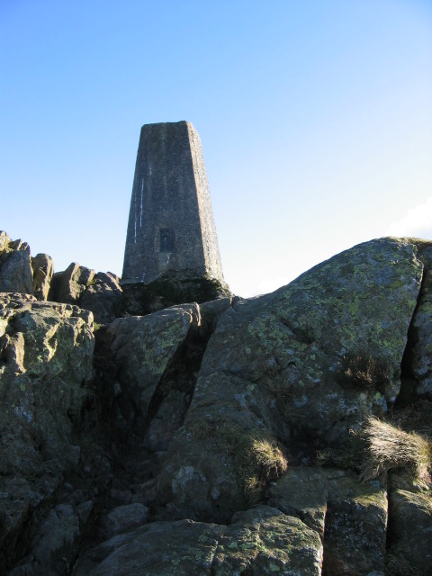
Carron Crag is a small fell in Grizedale Forest in the English Lake District with a height of 314 metres (1,030 ft). Adjacent to the trig point is a large...

Nearby Amenities

Located within 500m of 54.344949,-3.0265592
Biketreks
Service Bicycle Rental: yes
Shop: bicycle
Website: https://www.bike-treks.co.uk/
Lat/Long: 54.3411757/-3.0242667
Grizedale Lodge Hotel
Addr City: Hawkshead
Addr Postcode: LA22 0QL
Phone: +44 1539 436532
Source: OS OpenData StreetView
Tourism: hotel
Website: https://www.grizedale-lodge.com/
Lat/Long: 54.3457249/-3.0240331
The Boat Race
Artist Name: Keith Wilson
Artwork Type: sculpture
Tourism: artwork
Lat/Long: 54.3444071/-3.0248649
Stone Hedgehog
Tourism: artwork
Lat/Long: 54.3433482/-3.0311886
Cafe
Grizedale Café
Addr City: Grizedale
Addr Postcode: LA22 0QL
Fhrs Id: 669339
Outdoor Seating: yes
Lat/Long: 54.3408528/-3.0237053
The Woodsman
Artwork Type: sculpture
Tourism: artwork
Lat/Long: 54.3414203/-3.0235256
Midnight Feast
Artwork Type: sculpture
Tourism: artwork
Lat/Long: 54.3425171/-3.031696
Nigel Ross Bench
Artwork Type: bench
Tourism: artwork
Lat/Long: 54.3427616/-3.0308667
Quarry Structure
Artist Name: Richard Harris
Artwork Type: sculpture
Tourism: artwork
Lat/Long: 54.3418832/-3.0216828
Go Ape
Brand: Go Ape
Brand Website: https://goape.co.uk/
Brand Wikidata: Q5574692
Brand Wikipedia: en:Go Ape
Phone: +44 845 643 1732
Tourism: attraction
Website: https://goape.co.uk/locations/grizedale
Lat/Long: 54.3407965/-3.0244252
Leisure: picnic_table
Lat/Long: 54.3405811/-3.024884
Bench
Backrest: no
Inscription: In memory of Ann Harrison 1949-2011 my lovely little lady
Material: wood
Lat/Long: 54.3428468/-3.0308474
Leisure: picnic_table
Lat/Long: 54.3440374/-3.0242589
Treepole
Artwork Type: sculpture
Tourism: artwork
Lat/Long: 54.3446303/-3.0253339
Artwork Type: stone
Tourism: artwork
Lat/Long: 54.3449138/-3.0257842
Artwork Type: stone
Tourism: artwork
Lat/Long: 54.3450317/-3.025891
Artwork Type: stone
Tourism: artwork
Lat/Long: 54.3451693/-3.0259432
Artwork Type: sculpture
Tourism: artwork
Lat/Long: 54.3453739/-3.0262641
Artwork Type: sculpture
Tourism: artwork
Lat/Long: 54.3451812/-3.0304152
Drinking Water
Lat/Long: 54.3407524/-3.0241924
Tourism: picnic_site
Lat/Long: 54.340771/-3.0240967
Power: pole
Lat/Long: 54.3428405/-3.0206473
Power: pole
Lat/Long: 54.3435669/-3.0196472
Power: pole
Lat/Long: 54.347052/-3.0277091
Power: pole
Lat/Long: 54.3459891/-3.0255718
Power: pole
Lat/Long: 54.3461626/-3.024709
Power: pole
Lat/Long: 54.3462239/-3.0243435
Power: pole
Lat/Long: 54.3464192/-3.0217409
Power: pole
Lat/Long: 54.3406073/-3.0261458
The data included in this document is from www.openstreetmap.org. The data is made available under ODbL.

Have you been to Mires Wood?

Leave your review of Mires Wood below (or comments, questions and feedback).