Scar Coppice

Wood, Forest in Lancashire South Lakeland

England

Scar Coppice

Arnside Plantation
Arnside Plantation Credit: Anthony Parkes

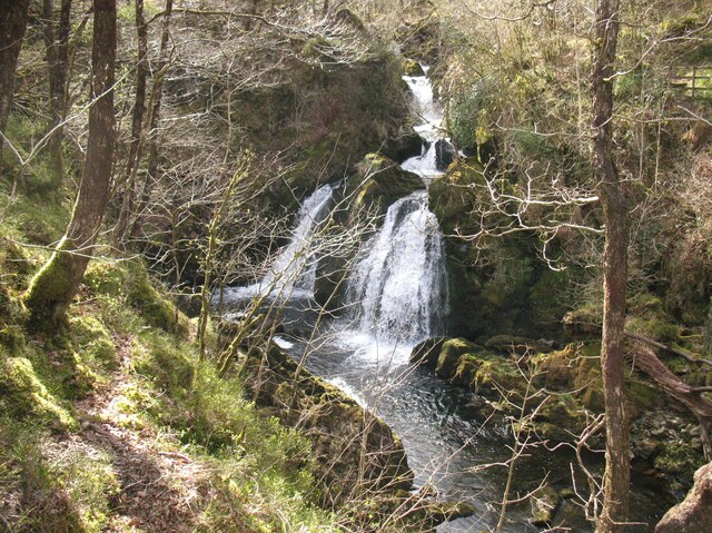
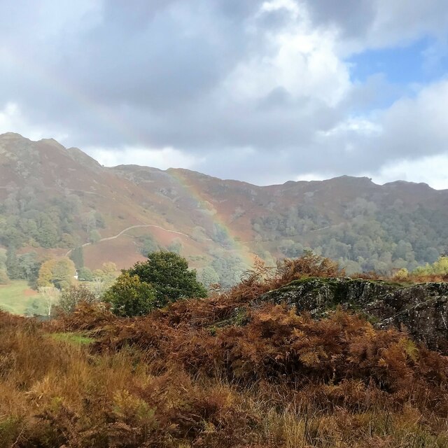
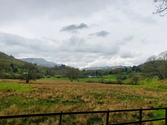
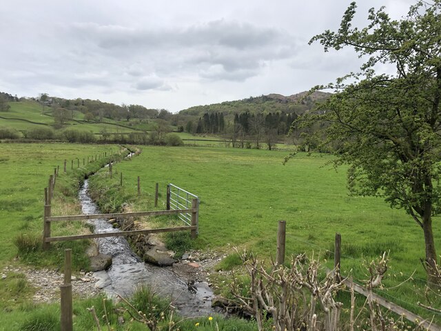
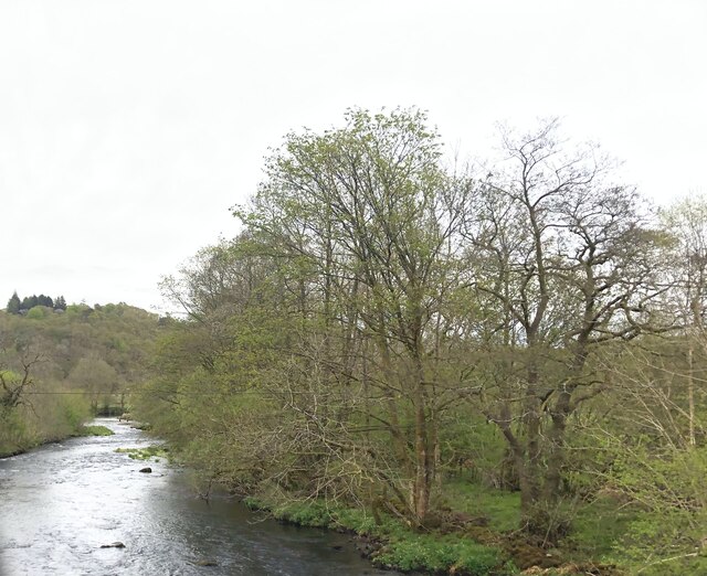
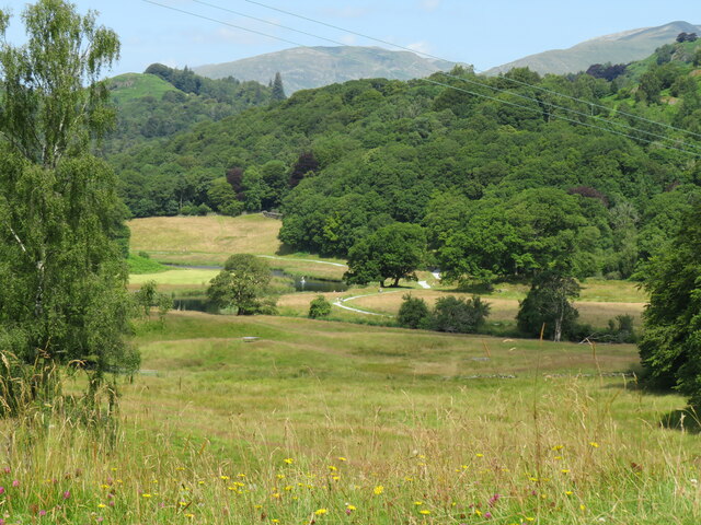
Scar Coppice is a serene woodland located in the county of Lancashire, England. Situated near the town of Clitheroe, it covers an area of approximately 50 acres. The coppice is part of the Forest of Bowland, an Area of Outstanding Natural Beauty renowned for its picturesque landscapes and diverse wildlife.

This ancient woodland dates back several centuries and has a rich history. It is primarily composed of oak and birch trees, with an undergrowth of bluebells, ferns, and other native flora. The dense canopy provides a cool and shaded environment, making it a perfect spot for a peaceful stroll or a picnic on a warm summer day.

Scar Coppice is home to a variety of wildlife species, offering nature enthusiasts a chance to observe and appreciate the local biodiversity. Visitors may catch a glimpse of red deer, roe deer, badgers, and a plethora of bird species, including woodpeckers and tawny owls. The woodland also serves as a habitat for numerous insects, such as butterflies and dragonflies.

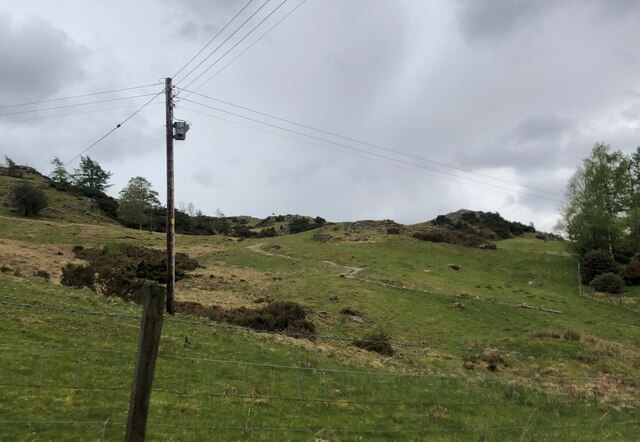
The coppice is well-maintained, with clearly marked paths and trails that allow visitors to explore its beauty at their own pace. It is important to note that some areas may be slightly uneven, so sturdy footwear is recommended. Additionally, the woodland is open to the public year-round, offering a different experience with each season.

Scar Coppice, Lancashire, is a nature lover's paradise, providing a tranquil escape from the hustle and bustle of everyday life. Whether one seeks solace in nature or wishes to immerse themselves in the region's history and wildlife, this woodland offers an idyllic setting for all.

If you have any feedback on the listing, please let us know in the comments section below.

Scar Coppice Images

Images are sourced within 2km of 54.420662/-3.0295298 or Grid Reference NY3303. Thanks to Geograph Open Source API. All images are credited.

Arnside Plantation
Arnside Plantation
View from Black Crag with fog over Windermere distant
Photographer on Black Crag
Black Crag Trig Point
Track to The Hog House Holiday Rental Cabin
Track to The Hog House
Holiday Rental Cabin
Large Boulder near the gateway to Hollin Bank
Shadows at Hollin Bank
Low Oxen Fell
Low Oxen Fell
Colwith Force Viewed from Atkinson’s Coppice, the left bank of the River Brathay here at Colwith Force was the county boundary between Lancashire (to the south) and Westmorland until Local Government Reorganisation in 1974.
The Colwith Force Alternative Route of The Cumbria Way passes beside the falls.
Colwith Force
Viewed from Atkinson’s Coppice, the left bank of the River Brathay here at Colwith Force was the county boundary between Lancashire (to the south) and Westmorland until Local Government Reorganisation in 1974. The Colwith Force Alternative Route of The Cumbria Way passes beside the falls.
Rainbow and Loughrigg Fell - from Crag Head
Marshy field near the River Brathay
Spring draining across the meadow to the River Brathay
River Brathay at Skelwith Bridge
Footpath to Tarn Hows From the A593 near Skelwith Bridge
Footpath to Tarn Hows
From the A593 near Skelwith Bridge
Loughrigg Tarn
Loughrigg Tarn
Trig point on Black Fell The triangulation column occupies the top of a rock plinth which is not quite the highest point of the hill; that's a short way beyond the wall and easily reached using a ladder stile, the top of which can be seen.
Peaks of the Fairfield Horseshoe lie in the distance.
Trig point on Black Fell
The triangulation column occupies the top of a rock plinth which is not quite the highest point of the hill; that's a short way beyond the wall and easily reached using a ladder stile, the top of which can be seen. Peaks of the Fairfield Horseshoe lie in the distance.
View north from trig point on Black Fell Black Fell is a minor hill among the Southern Fells of the Lake District. The view is from the hill's trig point set upon a rock outcrop which was regarded by Alfred Wainwright as the summit. Currently however in the opinion of those who assess such things, the highest point lies just beyond the wall, where it's one metre higher.
View north from trig point on Black Fell
Black Fell is a minor hill among the Southern Fells of the Lake District. The view is from the hill's trig point set upon a rock outcrop which was regarded by Alfred Wainwright as the summit. Currently however in the opinion of those who assess such things, the highest point lies just beyond the wall, where it's one metre higher.
View towards Elterwater from Cumbria Way View from Cumbria Way near to Park House looking towards River Brathay and the fells above Elterwater village
View towards Elterwater from Cumbria Way
View from Cumbria Way near to Park House looking towards River Brathay and the fells above Elterwater village
Show me another place!

Scar Coppice is located at Grid Ref: NY3303 (Lat: 54.420662, Lng: -3.0295298)

Administrative County: Cumbria

District: South Lakeland

Police Authority: Cumbria

What 3 Words

///imprints.december.fakes. Near Ambleside, Cumbria

Related Wikis

Elter Water

Elter Water is a small lake in the Lake District in North West England, half a mile southeast of the village of the same name. It has a length of 0.62...
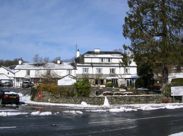
Skelwith

Skelwith is a civil parish in South Lakeland, Cumbria, England, which includes the village of Skelwith Bridge. In the 2001 census the parish had a population...

Skelwith Bridge

Skelwith Bridge is a small village in the southern area of the Lake District in Cumbria, England. Historically, Skelwith Bridge is part of Westmorland...
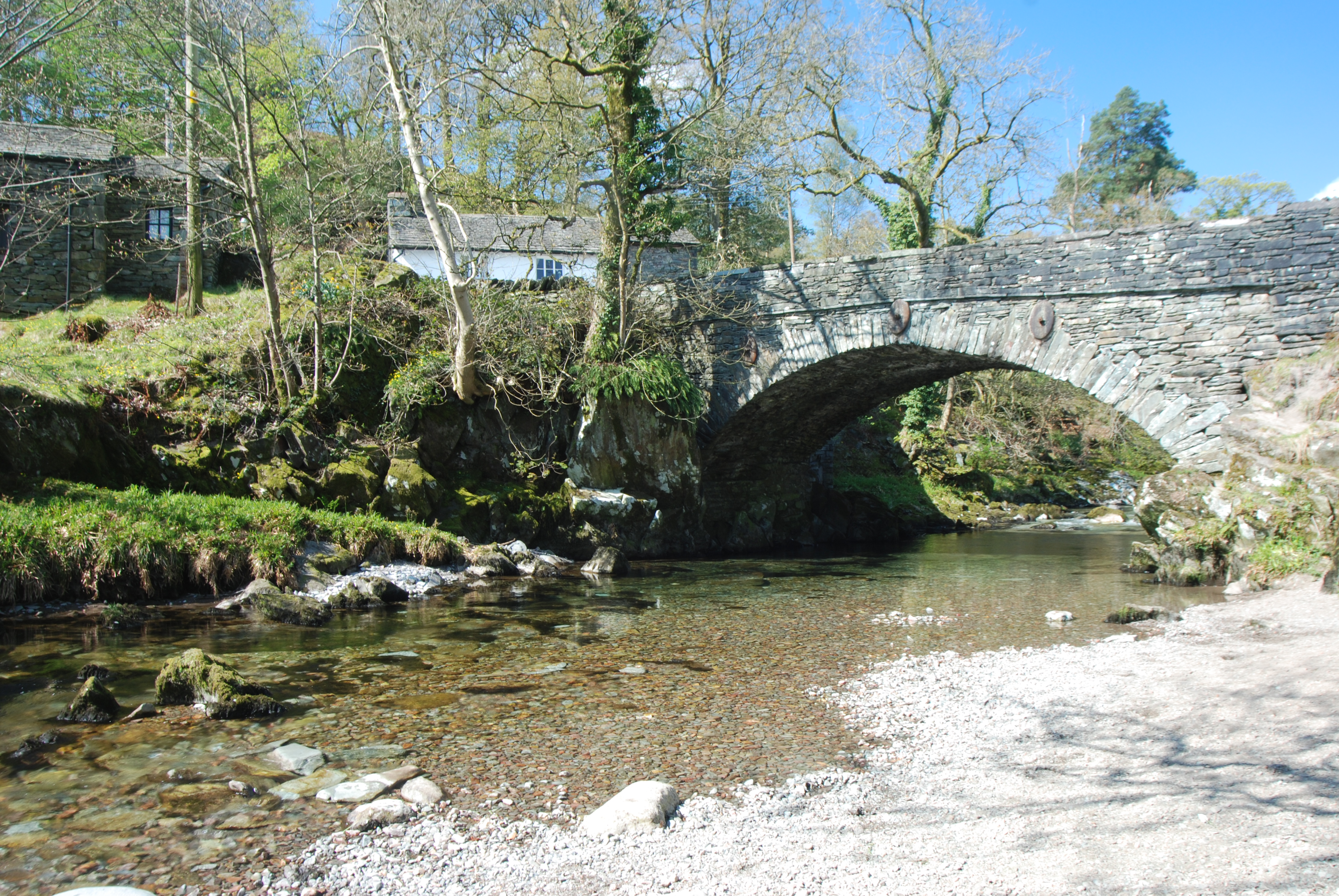
Elterwater Bridge

Elterwater Bridge is a Grade II listed single-arch bridge spanning Great Langdale Beck in Elterwater, Cumbria, England. The structure dates to 1702.The...
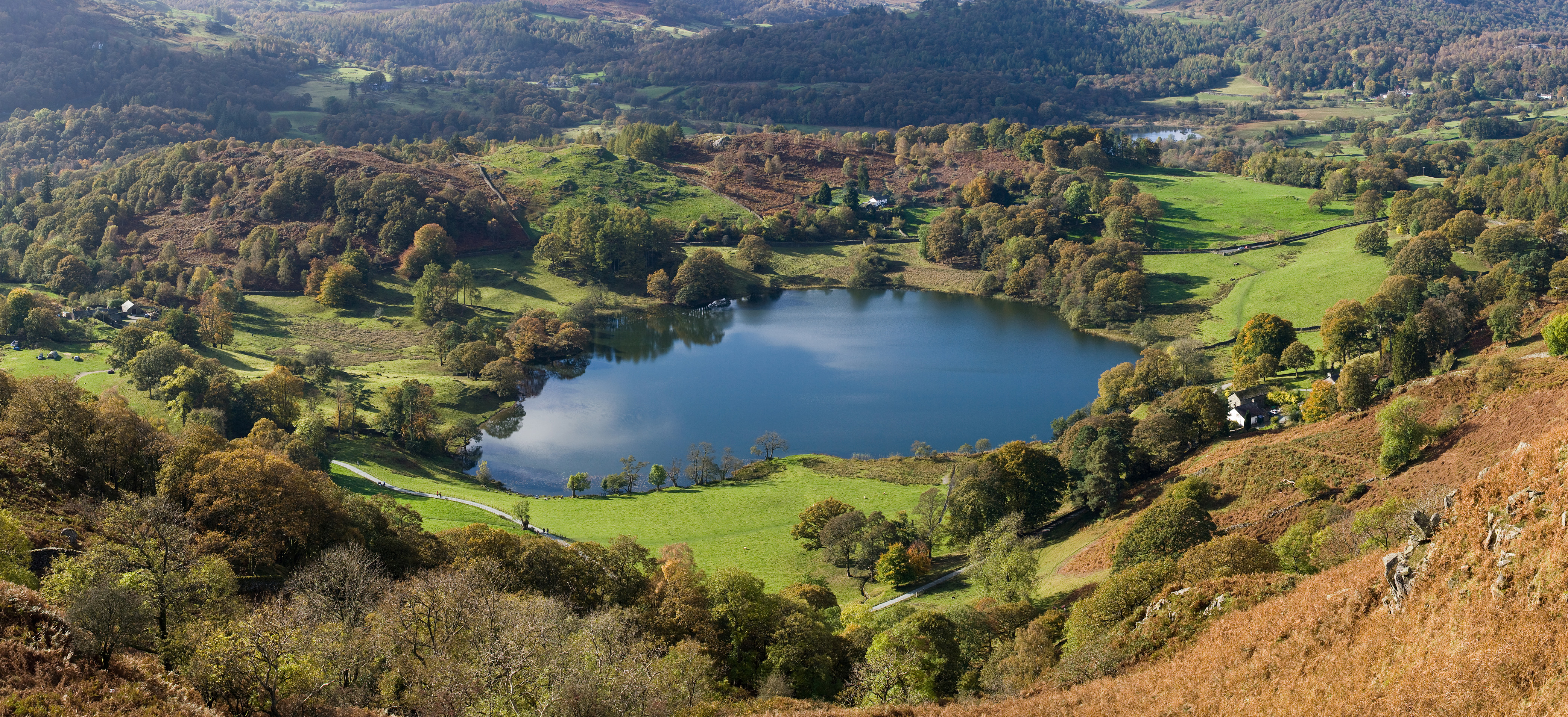
Loughrigg Tarn

Loughrigg Tarn () is a small, natural lake in the Lake District, Cumbria, England. It is situated north of Windermere, just north of the village of Skelwith...

Elterwater

Elterwater is a village in the English Lake District and the county of Cumbria. The village lies half a mile (800 m) north-west of the lake of Elter Water...
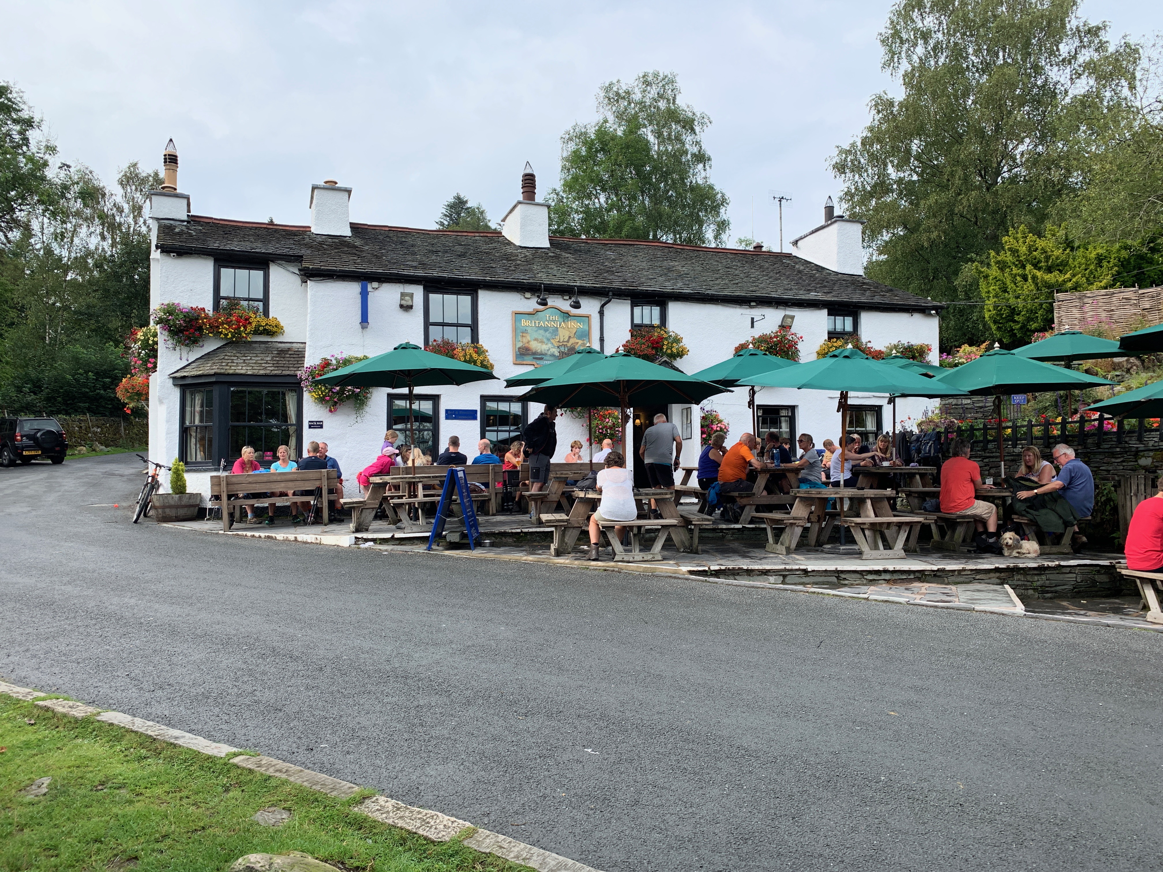
Britannia Inn

The Britannia Inn is a public house and inn in the English village of Elterwater, Cumbria. Dating to the 17th century, it is a Grade II listed building...

Lakes, Cumbria

Lakes is a civil parish in the Westmorland and Furness district, in the ceremonial county of Cumbria, England. In the 2001 census the parish had a population...

Nearby Amenities

Located within 500m of 54.420662,-3.0295298
Barrier: stile
Lat/Long: 54.4195054/-3.0273864
Barrier: stile
Lat/Long: 54.4182863/-3.0310705
Barrier: stile
Lat/Long: 54.4186229/-3.0307866
Barrier: kissing_gate
Lat/Long: 54.4193428/-3.0291253
Barrier: stile
Lat/Long: 54.4178621/-3.0323553
Barrier: stile
Lat/Long: 54.4193625/-3.0280401
Give Way
Direction: forward
Lat/Long: 54.4189964/-3.0342452
Parking
Capacity: 3
Fee: no
Park Ride: no
Parking: surface
Supervised: no
Surface: asphalt
Lat/Long: 54.4179021/-3.0326879
Scar Coppice
Place: locality
Lat/Long: 54.4205223/-3.0282769
Benson Close
Place: locality
Lat/Long: 54.4208845/-3.0369865
Ice Cream
Outdoor Seating: yes
Lat/Long: 54.4198933/-3.02613
Hiking: yes
Information: guidepost
Source: GPS Survey
Tourism: information
Lat/Long: 54.4178535/-3.032411
Hiking: yes
Information: guidepost
Source: GPS Survey
Tourism: information
Lat/Long: 54.418145/-3.0334604
Hiking: yes
Information: guidepost
Source: GPS Survey
Tourism: information
Lat/Long: 54.420553/-3.0252716
Power: pole
Lat/Long: 54.416756/-3.0287064
Power: pole
Lat/Long: 54.423686/-3.0336735
Power: pole
Lat/Long: 54.4227863/-3.03299
Power: pole
Lat/Long: 54.4218273/-3.0322337
Power: pole
Lat/Long: 54.4209163/-3.0315575
Power: pole
Lat/Long: 54.4200053/-3.0308521
Power: pole
Lat/Long: 54.4197275/-3.0318823
Power: pole
Lat/Long: 54.4196372/-3.0340128
Power: pole
Lat/Long: 54.419853/-3.0357846
Power: pole
Lat/Long: 54.4202306/-3.0263347
Power: pole
Lat/Long: 54.4199767/-3.0271006
Power: pole
Lat/Long: 54.4197426/-3.0277381
Power: pole
Lat/Long: 54.4195607/-3.0283271
Power: pole
Lat/Long: 54.4190191/-3.024226
Power: pole
Lat/Long: 54.4186031/-3.0255833
Power: pole
Lat/Long: 54.4171871/-3.028138
Power: pole
Lat/Long: 54.417338/-3.0263977
Power: pole
Lat/Long: 54.4174283/-3.02529
The data included in this document is from www.openstreetmap.org. The data is made available under ODbL.

Have you been to Scar Coppice?

Leave your review of Scar Coppice below (or comments, questions and feedback).