Roudsea Wood

Wood, Forest in Lancashire South Lakeland

England

Roudsea Wood

Estuary of the River Leven
Estuary of the River Leven Credit: Eirian Evans

Roudsea Wood is a picturesque woodland located in the county of Lancashire, England. Covering an area of approximately 1,000 acres, it is nestled within the scenic Levens Valley, just south of the town of Ulverston. The wood is part of the larger Roudsea Wood and Mosses National Nature Reserve, which encompasses both woodland and wetland habitats.

Roudsea Wood is predominantly composed of ancient semi-natural woodland, with some sections dating back over 400 years. The wood boasts a rich diversity of tree species, including oak, ash, birch, and hazel, creating a serene and enchanting atmosphere. The forest floor is adorned with beautiful wildflowers, such as bluebells and wood anemones, adding bursts of color to the landscape during the spring months.

The wood is a haven for wildlife, providing a sanctuary for various bird species, including woodpeckers, nuthatches, and tawny owls. Visitors may also encounter small mammals like red squirrels, badgers, and deer roaming through the undergrowth. The wetland areas of the nature reserve are home to a plethora of amphibians, including frogs, newts, and toads, as well as a variety of insects and plant life.

Roudsea Wood offers a range of walking trails, allowing visitors to explore its natural wonders at their own pace. These trails meander through the ancient woodland, offering breathtaking views of the surrounding countryside and glimpses of the diverse wildlife that calls the wood home. Whether it's a leisurely stroll or a more adventurous hike, Roudsea Wood promises a tranquil and rejuvenating experience for nature enthusiasts and outdoor lovers alike.

If you have any feedback on the listing, please let us know in the comments section below.
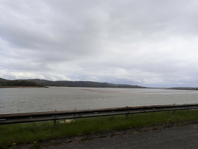
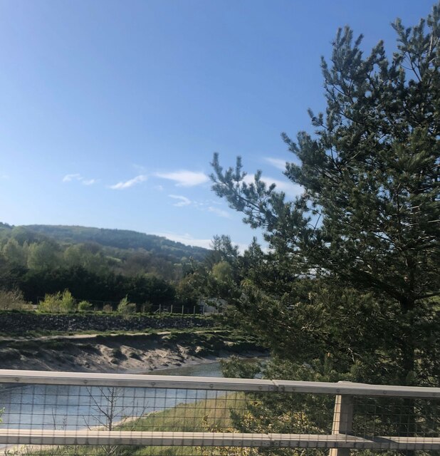
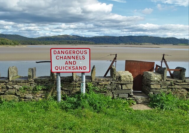
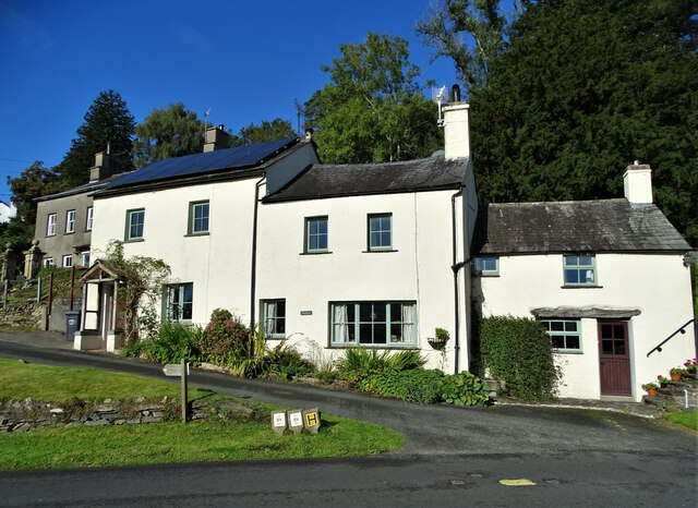
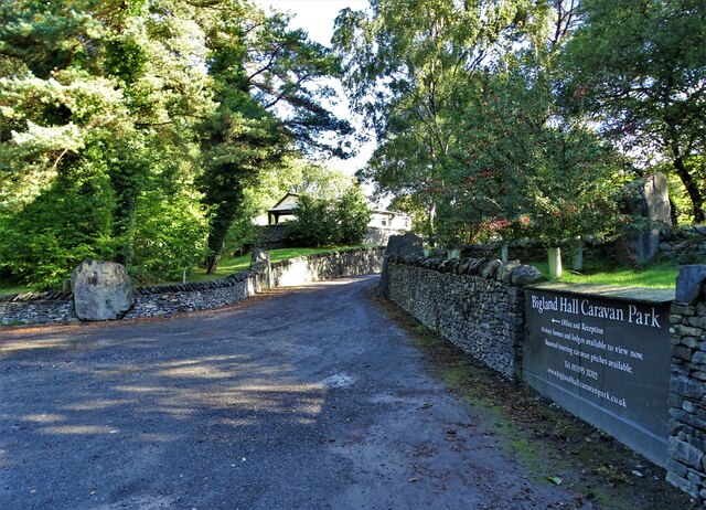
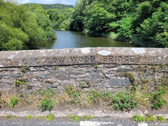
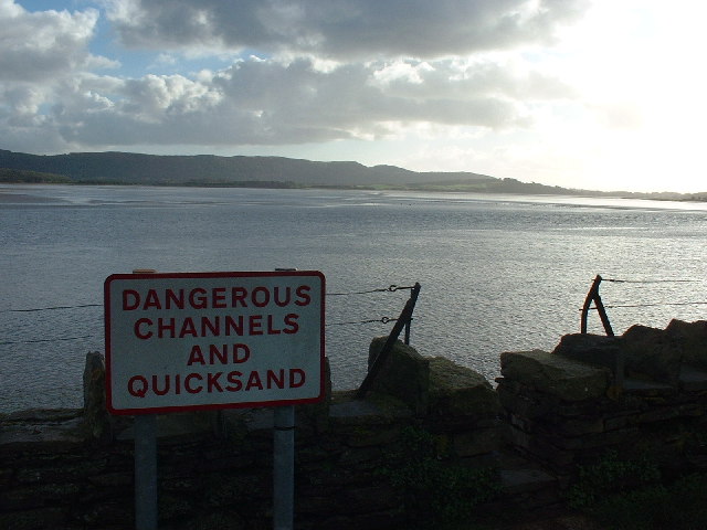
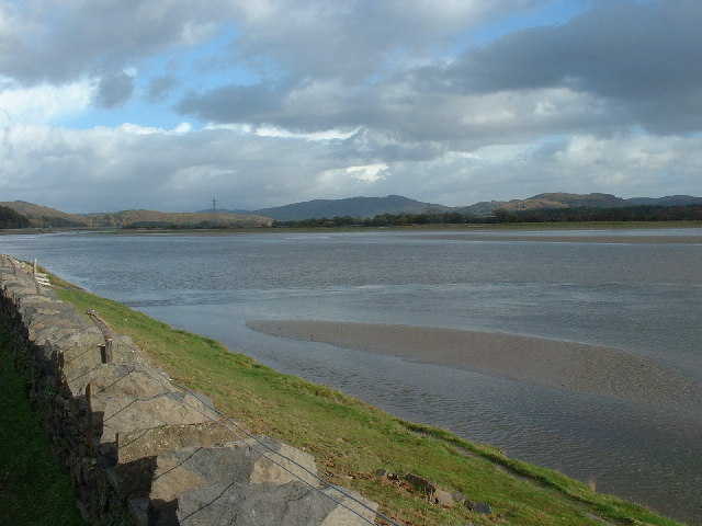
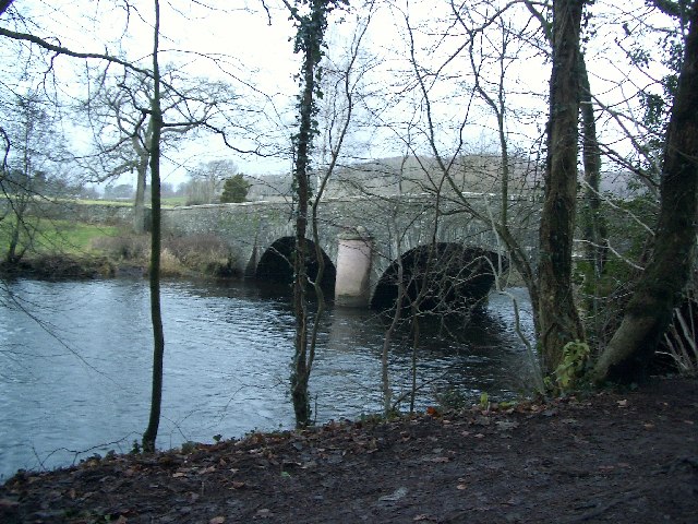
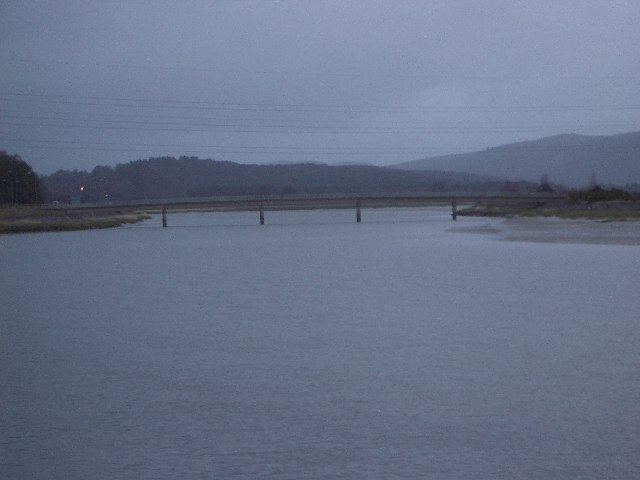
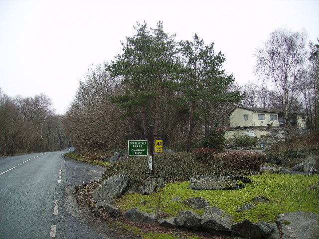
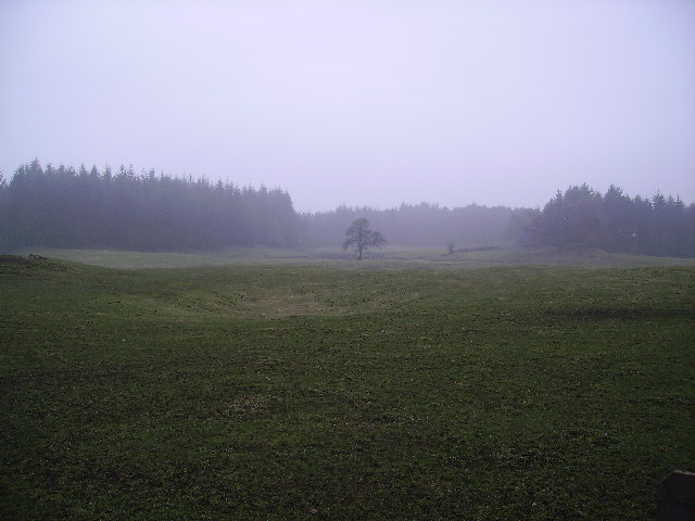
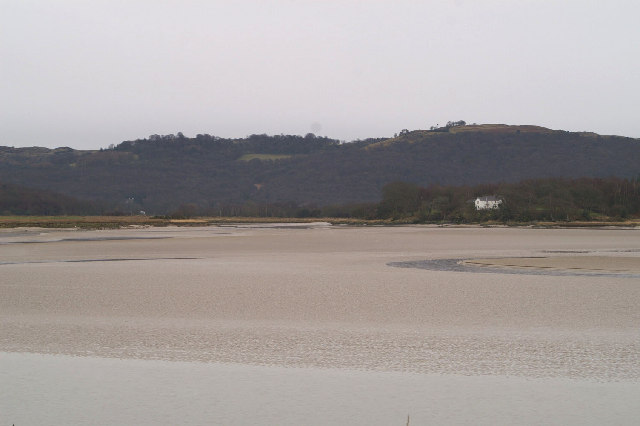
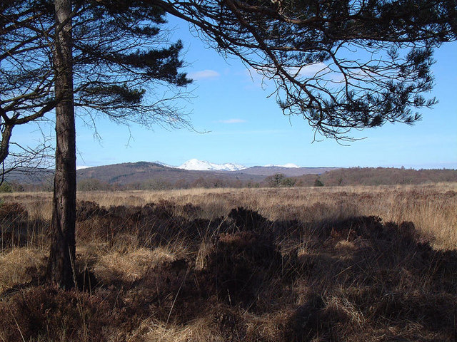
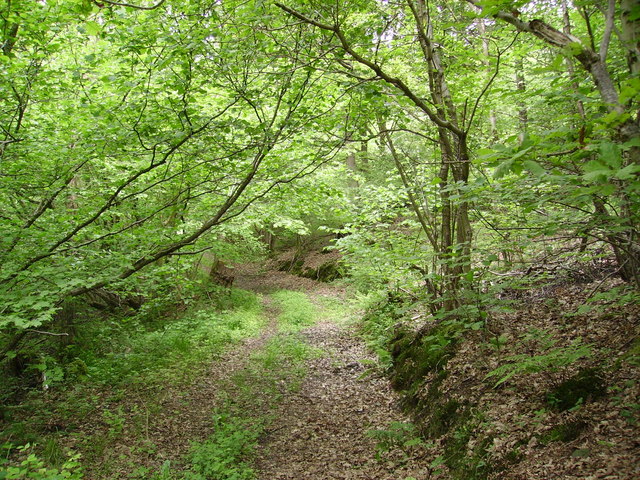
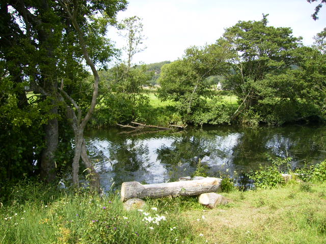
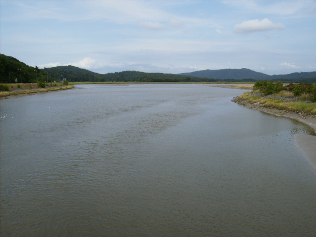
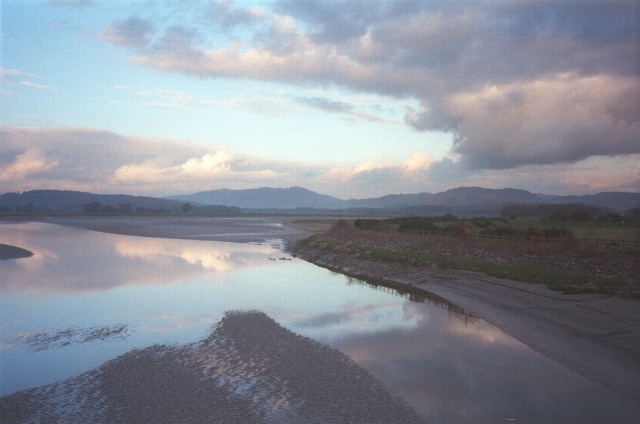
Roudsea Wood Images

Images are sourced within 2km of 54.231102/-3.0255415 or Grid Reference SD3382. Thanks to Geograph Open Source API. All images are credited.

Estuary of the River Leven
River Crake at Greenodd Near its confluence with the River Leven
River Crake at Greenodd
Near its confluence with the River Leven
Greenodd Sands
Greenodd Sands
Cottages in Haverthwaite
Entrance to Bigland Hall Caravan Park
Old Bridge Marker on the B6278 near Low Wood Bridge Marker inscribed in the parapet of Low Wood Bridge, River Leven, on the northeast side of the B5278. Haverthwaite parish. 

Milestone Society National ID: LA_HAVER01br
Old Bridge Marker on the B6278 near Low Wood
Bridge Marker inscribed in the parapet of Low Wood Bridge, River Leven, on the northeast side of the B5278. Haverthwaite parish. Milestone Society National ID: LA_HAVER01br
Greenodd Sands Taken from the pic nic area. Needless to say it is no pic nic if you wander onto the sands anywhere in Morecambe Bay
Greenodd Sands
Taken from the pic nic area. Needless to say it is no pic nic if you wander onto the sands anywhere in Morecambe Bay
Estuary of the River Leven The lower reaches of the delightful River Leven, which flows out of Lake Windermere
Estuary of the River Leven
The lower reaches of the delightful River Leven, which flows out of Lake Windermere
Bridge at Haverthwaite I'm not sure of the name of this bridge but it's a roadbridge that crosses the river Leven at Haverthwaite.
Bridge at Haverthwaite
I'm not sure of the name of this bridge but it's a roadbridge that crosses the river Leven at Haverthwaite.
Greenodd Estuary Footbridge The picture was taken from the Greenodd Bypass and looks up the estuary from Ulverston.
Greenodd Estuary Footbridge
The picture was taken from the Greenodd Bypass and looks up the estuary from Ulverston.
Bigland Hall Caravan Park In an old quarry near Burn Barrow Wood
Bigland Hall Caravan Park
In an old quarry near Burn Barrow Wood
Field at Haverthwaite Farmland near Hollow Oak
Field at Haverthwaite
Farmland near Hollow Oak
Lady Syke, across the Levens Estuary
Fish House Moss An ombrotrophic peat bog around 7m deep covered by sphagnum moss, heathers and reed grass. Conditions are very wet and acidic and only specialised plants survive. In these anaerobic conditions decomposition is very slow. Jump up and down here and watch the ripples move across the bog as if it was a giant waterbed! Ancient civilizations considered these places sacred because of their preserving properties and bodies were sometimes buried with hoards of treasure in sites like this!
View is approx NW towards Coniston Old Man covered in snow in the distance.
Fish House Moss
An ombrotrophic peat bog around 7m deep covered by sphagnum moss, heathers and reed grass. Conditions are very wet and acidic and only specialised plants survive. In these anaerobic conditions decomposition is very slow. Jump up and down here and watch the ripples move across the bog as if it was a giant waterbed! Ancient civilizations considered these places sacred because of their preserving properties and bodies were sometimes buried with hoards of treasure in sites like this! View is approx NW towards Coniston Old Man covered in snow in the distance.
Track Burn Barrow Wood On the road from Haverthwaite to Holker at Stribers Moss
Track Burn Barrow Wood
On the road from Haverthwaite to Holker at Stribers Moss
The River Leven near Low Wood
The Leven Estuary This picture was taken looking upstream from the footbridge near Greenodd. The footbridge forms a vital link in the Cumbria Coastal Way. The river narrows down one mile upstream from here, before it reaches Haverthwaite.
The Leven Estuary
This picture was taken looking upstream from the footbridge near Greenodd. The footbridge forms a vital link in the Cumbria Coastal Way. The river narrows down one mile upstream from here, before it reaches Haverthwaite.
Leven estuary at Greenodd Taken from the same position as <a href="https://www.geograph.org.uk/photo/210418">SD3182 : The Leven Estuary</a> with the tide out or almost out.
Leven estuary at Greenodd
Taken from the same position as SD3182 : The Leven Estuary with the tide out or almost out.
Show me another place!

Roudsea Wood is located at Grid Ref: SD3382 (Lat: 54.231102, Lng: -3.0255415)

Administrative County: Cumbria

District: South Lakeland

Police Authority: Cumbria

What 3 Words

///catapult.downcast.trainer. Near Ulverston, Cumbria

Related Wikis

River Leven, Cumbria

The River Leven (pron. LEV-ən) is a short river in the ceremonial county of Cumbria, falling within the historic boundaries of Lancashire. It drains Windermere...

River Crake

The River Crake is a short river in the English Lake District. The name probably derives from the Celtic languages (most likely Brythonic languages; ie...

Rusland Pool

Rusland Pool is a small stream or beck running through the administrative county of Cumbria. Before 1974, Rusland Pool was in Lancashire. The source of...

Greenodd railway station

Greenodd railway station was on the route between Ulverston and Lakeside, built by the Furness Railway. It served the village of Greenodd, then in Lancashire...

Greenodd

Greenodd is a village in the Furness area of the county of Cumbria, England, but within the historical county of Lancashire. For local government purposes...

Haverthwaite

Haverthwaite is a small village and civil parish in the Furness region of Cumbria, England. It is also within the boundaries of the Lake District National...

Egton with Newland

Egton with Newland, sometimes written as "Egton-with-Newland", is a civil parish in the South Lakeland district of the English county of Cumbria. It includes...

St Mary's Church, Penny Bridge

St Mary's Church is on a site overlooking the villages of Penny Bridge and Greenodd, in the parish of Egton with Newland, Cumbria, England. It is an active...

Nearby Amenities

Located within 500m of 54.231102,-3.0255415
Deer Dike Moss
Natural: wetland
Wetland: marsh
Lat/Long: 54.2317458/-3.0186589
Power: tower
Lat/Long: 54.2272805/-3.0215256
Power: tower
Lat/Long: 54.2284094/-3.0251734
Power: tower
Lat/Long: 54.2305919/-3.0318682
Power: tower
Lat/Long: 54.2274827/-3.0221561
The data included in this document is from www.openstreetmap.org. The data is made available under ODbL.

Have you been to Roudsea Wood?

Leave your review of Roudsea Wood below (or comments, questions and feedback).