Spring Close Coppice

Wood, Forest in Devon East Devon

England

Spring Close Coppice

Riverside walk - Lyme Regis Not far from where one takes up the River Lim walk again from Coombe Street, there is a large handsome house which looks as if it may have originally been a commercial building such as some sort of mill
Riverside walk - Lyme Regis Credit: Sarah Smith

Spring Close Coppice is a picturesque woodland located in Devon, England. Situated near the village of Woodbury, it covers an area of approximately 20 acres. The coppice is a designated Site of Special Scientific Interest (SSSI) due to its rich biodiversity and historical significance.

The woodland is predominantly composed of native deciduous trees such as oak, ash, and beech, which create a dense canopy providing shade and shelter for a variety of flora and fauna. It is renowned for its vibrant display of bluebells in the spring, attracting numerous visitors who come to admire the stunning carpet of flowers.

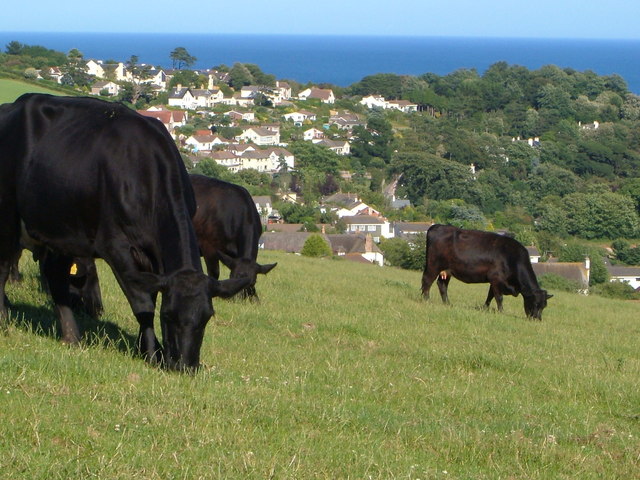
The coppice is home to a range of wildlife, including deer, foxes, badgers, and a multitude of bird species. The diverse habitat provides an ideal environment for many woodland birds, such as woodpeckers, tits, and thrushes. Birdwatchers often flock to Spring Close Coppice to observe and record these species.

The woodland has a rich history, with evidence of human activity dating back to the Iron Age. Remnants of ancient earthworks and a nearby burial mound indicate that the site was used for various purposes throughout the centuries. The coppice was traditionally managed for timber production, with trees being regularly coppiced to produce wood for fuel, fencing, and other local needs.

Today, Spring Close Coppice offers a peaceful retreat for nature enthusiasts and walkers alike. It has well-maintained footpaths that wind through the woodland, allowing visitors to explore its natural beauty and discover its hidden treasures. The coppice is a valuable resource for the local community and a haven for wildlife, contributing to the overall biodiversity of the area.

If you have any feedback on the listing, please let us know in the comments section below.

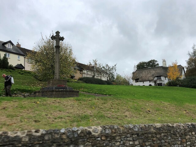
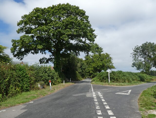
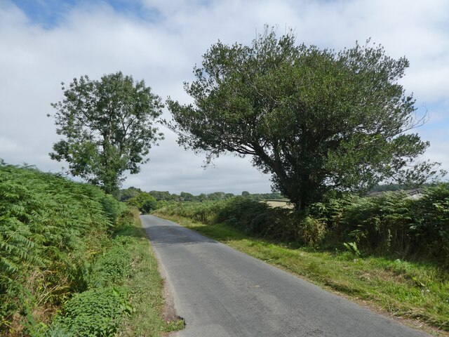
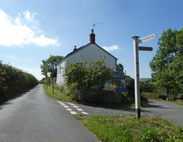
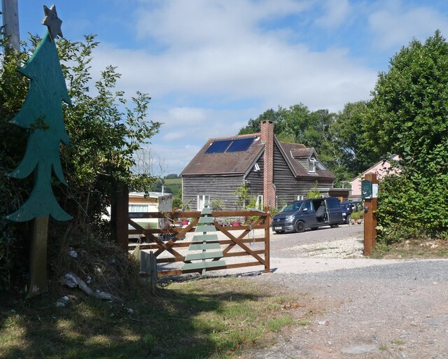
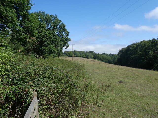
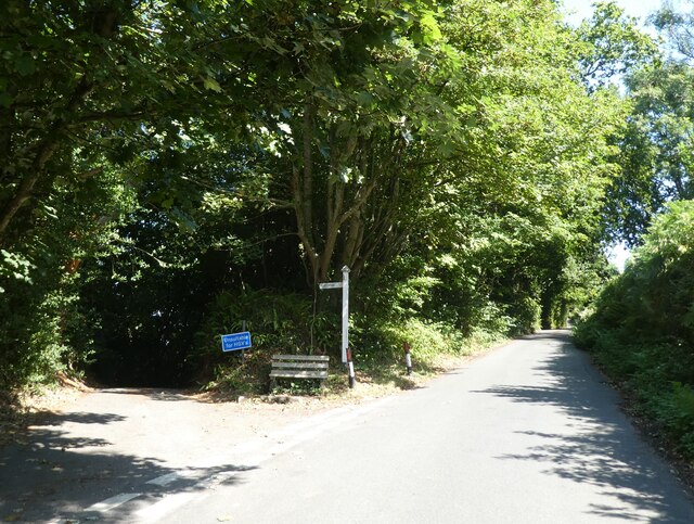
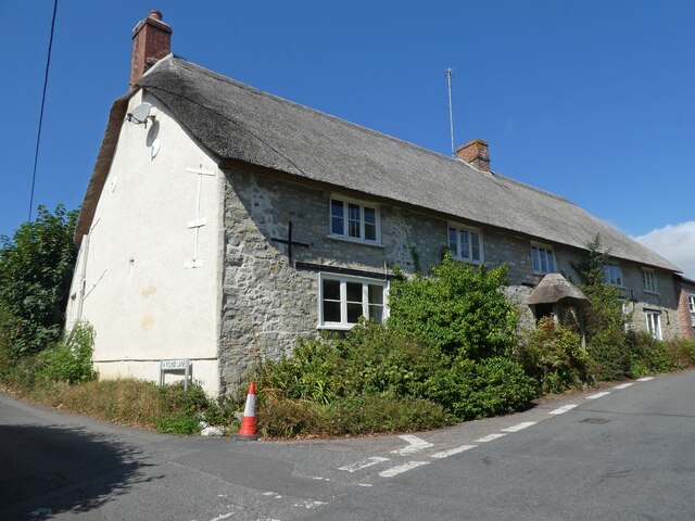
Spring Close Coppice Images

Images are sourced within 2km of 50.742181/-2.9502991 or Grid Reference SY3394. Thanks to Geograph Open Source API. All images are credited.

Riverside walk - Lyme Regis Not far from where one takes up the River Lim walk again from Coombe Street, there is a large handsome house which looks as if it may have originally been a commercial building such as some sort of mill
Riverside walk - Lyme Regis
Not far from where one takes up the River Lim walk again from Coombe Street, there is a large handsome house which looks as if it may have originally been a commercial building such as some sort of mill
The Ford, River Lim - Lyme Regis This ford is supposed to be the longest in the country.  It is situated near Jordan Flats.
The Ford, River Lim - Lyme Regis
This ford is supposed to be the longest in the country. It is situated near Jordan Flats.
Mill Green - Lyme Regis Prettily painted terraced houses winding up the hill from the river.
Mill Green - Lyme Regis
Prettily painted terraced houses winding up the hill from the river.
22 and 23, Broad Street
Pitt White Bamboo Garden Gate to Pitt White Bamboo Garden
Pitt White Bamboo Garden
Gate to Pitt White Bamboo Garden
War Memorial at Uplyme
Redlane Cross
Redlane Cross
Yawl Hill
Yawl Hill
Red Lane
Red Lane
Junction at Whitty Down
Holly Hill Christmas tree nurseries
Field, above Spring Close Coppice
Junction, on Spring Head Road
Thatched Cottage at Lane End
Church of St Peter & St Paul, Uplyme
Art exhibition at Church of St Peter & St Paul, Uplyme
Venlake Cross
Venlake Cross
Entrance, Woodhouse Fields
Show me another place!

Spring Close Coppice is located at Grid Ref: SY3394 (Lat: 50.742181, Lng: -2.9502991)

Administrative County: Devon

District: East Devon

Police Authority: Devon and Cornwall

What 3 Words

///ridiculed.crystals.mule. Near Lyme Regis, Dorset

Related Wikis

Uplyme

Uplyme is an English village and civil parish in East Devon on the Devon-Dorset border and the River Lym, adjacent to the Dorset coastal town of Lyme Regis...

The Woodroffe School

The Woodroffe School is a comprehensive school in Lyme Regis, Dorset, England. == Lyme Regis Grammar School == From 1923-1971 the school was known as Lyme...

Lyme Regis railway station

Lyme Regis railway station was the terminus of the Lyme Regis branch line in the west of the English county of Dorset. Serving the coastal resort town...

Furzehill Plantation

Furzehill Plantation is a woodland in Devon, England, near the village of Uplyme. It covers a total area of 1.22 hectares (3.01 acres). It is owned and...

Holcombe, East Devon

Holcombe is a hamlet in the district of East Devon in the English county of Devon. Holcombe is located northwest of the town of Lyme Regis about a mile...

Lyme Regis Cemetery

Lyme Regis Cemetery is the principal cemetery in the English town of Lyme Regis, Dorset. Estimates for the number of burials in the cemetery range from...

Allhallows College

Allhallows College, previously known as Allhallows School, was a private public school for boys in Devon, in the west of England. Predominantly a boarding...

Siege of Lyme Regis

The siege of Lyme Regis was an eight-week blockade during the First English Civil War. The port of Lyme Regis, in Dorset, was considered to be of strategic...

Nearby Amenities

Located within 500m of 50.742181,-2.9502991
Barrier: stile
Lat/Long: 50.7459734/-2.9528842
Direction: 145
Generator Method: photovoltaic
Generator Output Electricity: yes
Generator Solar Modules: 8
Generator Source: solar
Generator Type: solar_photovoltaic_panel
Location: roof
Power: generator
Lat/Long: 50.7390383/-2.949459
Direction: SSE
Generator Method: photovoltaic
Generator Output Electricity: yes
Generator Solar Modules: 14
Generator Source: solar
Generator Type: solar_photovoltaic_panel
Location: roof
Power: generator
Lat/Long: 50.7386292/-2.9505338
Direction: 145
Generator Method: photovoltaic
Generator Output Electricity: yes
Generator Solar Modules: 16
Generator Source: solar
Generator Type: solar_photovoltaic_panel
Location: roof
Power: generator
Lat/Long: 50.738106/-2.9501684
Direction: 145
Generator Method: photovoltaic
Generator Output Electricity: yes
Generator Solar Modules: 14
Generator Source: solar
Generator Type: solar_photovoltaic_panel
Location: roof
Power: generator
Lat/Long: 50.7395276/-2.954072
Generator Method: photovoltaic
Generator Output Electricity: yes
Generator Source: solar
Generator Type: solar_photovoltaic_panel
Location: roof
Power: generator
Lat/Long: 50.7456973/-2.9543164
Generator Method: photovoltaic
Generator Output Electricity: yes
Generator Source: solar
Generator Type: solar_photovoltaic_panel
Location: roof
Power: generator
Lat/Long: 50.7460223/-2.9532335
Generator Method: photovoltaic
Generator Output Electricity: yes
Generator Source: solar
Generator Type: solar_photovoltaic_panel
Location: roof
Power: generator
Lat/Long: 50.745876/-2.9532516
Turning Loop
Lat/Long: 50.7418427/-2.9473055
Post Box
Operator: Royal Mail
Post Box Type: wall
Ref: DT7 43D
Royal Cypher: EVIIR
Lat/Long: 50.7402571/-2.9479688
Location Transition: yes
Poles: bipole
Power: pole
Source: bing
Lat/Long: 50.7414185/-2.9439631
Direction: S
Generator Method: photovoltaic
Generator Output Electricity: yes
Generator Solar Modules: 5
Generator Source: solar
Generator Type: solar_photovoltaic_panel
Location: roof
Power: generator
Lat/Long: 50.738712/-2.9547578
Direction: S
Generator Method: photovoltaic
Generator Output Electricity: yes
Generator Solar Modules: 5
Generator Source: solar
Generator Type: solar_photovoltaic_panel
Location: roof
Power: generator
Lat/Long: 50.7387255/-2.9547585
Power: pole
Source: bing
Lat/Long: 50.7405834/-2.9539959
Power: pole
Source: bing
Lat/Long: 50.7397058/-2.9535842
Power: pole
Source: bing
Lat/Long: 50.7389199/-2.9534273
Power: pole
Source: bing
Lat/Long: 50.74132/-2.9537411
Power: pole
Source: bing
Lat/Long: 50.7420473/-2.9535265
Power: pole
Source: bing
Lat/Long: 50.742767/-2.9532275
Power: pole
Source: bing
Lat/Long: 50.7434621/-2.9529968
Power: pole
Source: bing
Lat/Long: 50.744051/-2.9529271
Power: pole
Source: bing
Lat/Long: 50.7447248/-2.9527541
Power: pole
Source: bing
Lat/Long: 50.7455849/-2.9525831
Power: pole
Source: bing
Lat/Long: 50.7460139/-2.9526072
Power: pole
Source: bing
Lat/Long: 50.7433246/-2.9546021
Power: pole
Source: bing
Lat/Long: 50.7429928/-2.956485
Power: pole
Source: bing
Lat/Long: 50.7431481/-2.9556334
The data included in this document is from www.openstreetmap.org. The data is made available under ODbL.

Have you been to Spring Close Coppice?

Leave your review of Spring Close Coppice below (or comments, questions and feedback).