Paull's Copse

Wood, Forest in Somerset South Somerset

England

Paull's Copse

Thatched farmhouse at Sea The grid line runs along the road at Sea, and this farmhouse is on the south side. Sea probably means island, and the presence of sandbags at some doorways indicates the likelihood of flooding here.
Thatched farmhouse at Sea Credit: Derek Harper

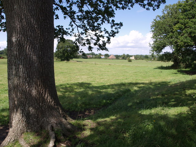
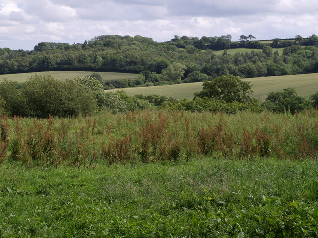
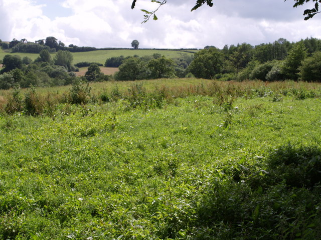
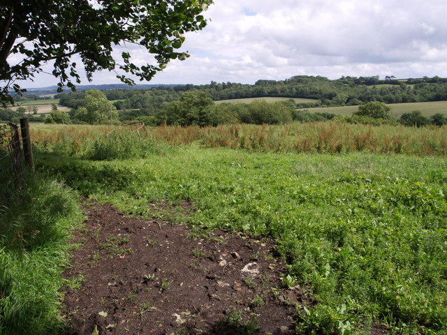
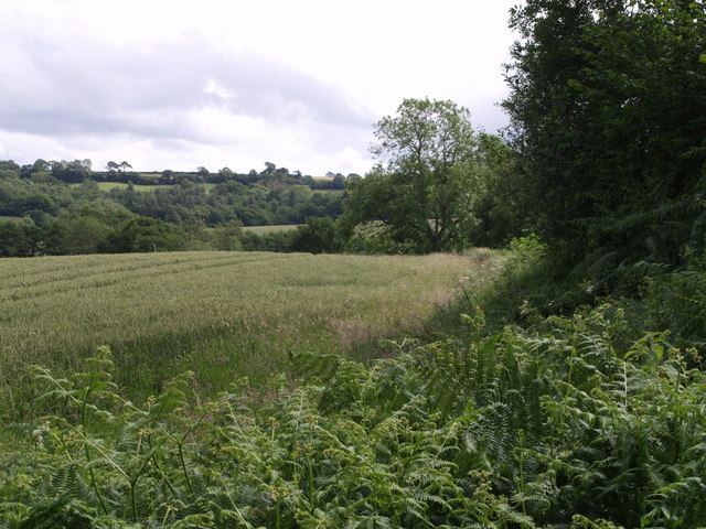
Paull's Copse is a charming woodland area located in Somerset, England. Situated near the village of Paull's Green, this copse is a popular destination for nature enthusiasts and those seeking tranquility amidst the lush greenery.

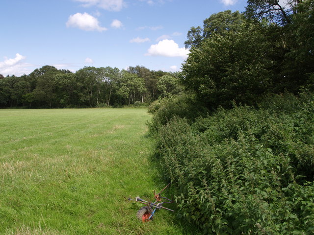
Covering an area of approximately 10 acres, Paull's Copse is primarily composed of deciduous trees, including oak, beech, and ash, creating a diverse and vibrant forest ecosystem. The copse is known for its dense canopy, which provides a cool and shaded atmosphere even on hot summer days.

The woodland floor is adorned with a rich carpet of wildflowers, adding bursts of color throughout the seasons. Visitors can expect to find bluebells, primroses, and wood anemones, among others. This abundance of flora makes Paull's Copse a haven for wildlife, attracting a variety of birds, butterflies, and small mammals.

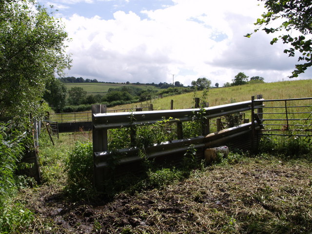
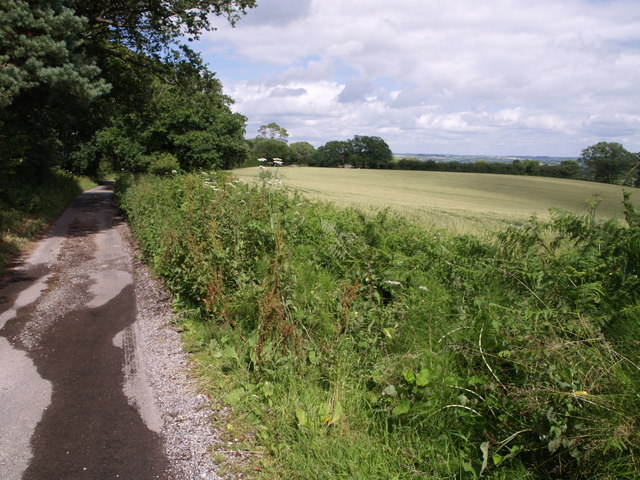
Several walking trails wind their way through the copse, offering visitors the opportunity to explore its natural beauty at their own pace. These well-maintained paths provide easy access to the heart of the woodland, where one can fully immerse themselves in the sights and sounds of nature.

Paull's Copse is also home to a small pond, a serene spot where visitors can observe dragonflies skimming the water's surface and listen to the chorus of frogs during the breeding season.

Whether it's a leisurely stroll, birdwatching, or simply finding solace in nature, Paull's Copse offers a peaceful retreat for all who venture into its enchanting embrace.

If you have any feedback on the listing, please let us know in the comments section below.

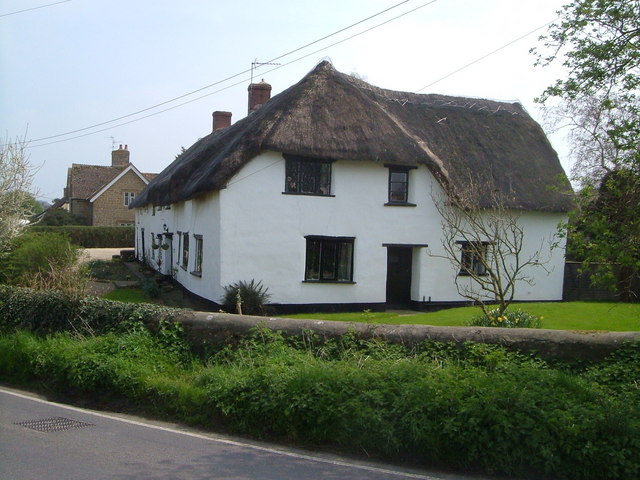
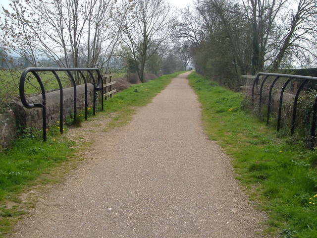
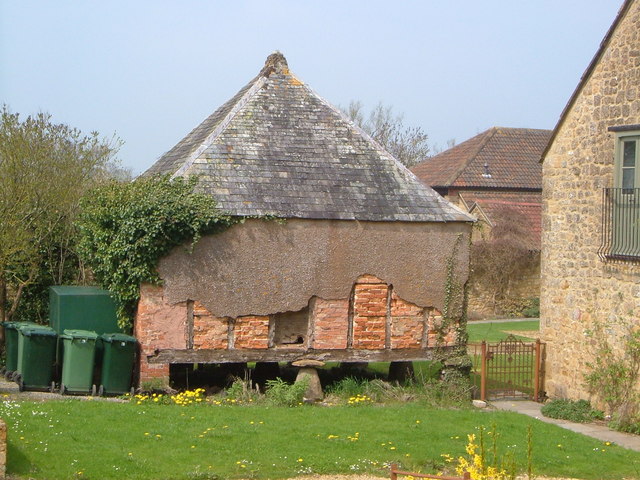
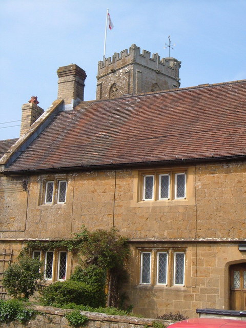
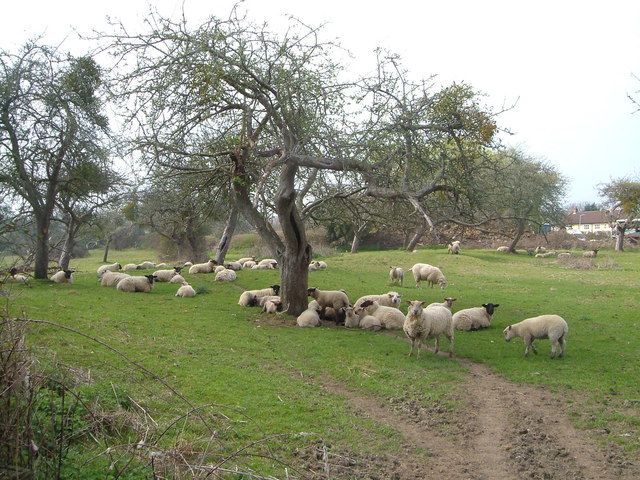
Paull's Copse Images

Images are sourced within 2km of 50.912351/-2.9556817 or Grid Reference ST3212. Thanks to Geograph Open Source API. All images are credited.

Thatched farmhouse at Sea The grid line runs along the road at Sea, and this farmhouse is on the south side. Sea probably means island, and the presence of sandbags at some doorways indicates the likelihood of flooding here.
Thatched farmhouse at Sea
The grid line runs along the road at Sea, and this farmhouse is on the south side. Sea probably means island, and the presence of sandbags at some doorways indicates the likelihood of flooding here.
Disused railway cycleway, Donyatt The disused railway line from Chard to Ilminster is a useful cycle route avoiding the busy A358 (although further south the main road itself follows the course of the railway), and forms part of the incomplete Wessex Way Cycle Route. Looking south from the junction with the Sea-Donyatt footpath.
Disused railway cycleway, Donyatt
The disused railway line from Chard to Ilminster is a useful cycle route avoiding the busy A358 (although further south the main road itself follows the course of the railway), and forms part of the incomplete Wessex Way Cycle Route. Looking south from the junction with the Sea-Donyatt footpath.
Granary, Park Farm The rendering on this (probably C18) granary, still partly supported by staddle stones, has partly gone, revealing the brick and timber structure.
Granary, Park Farm
The rendering on this (probably C18) granary, still partly supported by staddle stones, has partly gone, revealing the brick and timber structure.
Church tower and almshouse, Donyatt The tower of St Mary's church appears above one of the C17 almshouses with their mullioned windows.
Church tower and almshouse, Donyatt
The tower of St Mary's church appears above one of the C17 almshouses with their mullioned windows.
Thatched cottage, Donyatt Double glazing an unfortunate necessity for this cottage right on the busy A358.
Thatched cottage, Donyatt
Double glazing an unfortunate necessity for this cottage right on the busy A358.
Orchard, Horton Fairly crowded orchard on footpath from A303 at east end of village.
Orchard, Horton
Fairly crowded orchard on footpath from A303 at east end of village.
Holemoor Farm Some of the farm buildings seen across a field on the slopes of the Isle valley from the shade of an oak on the lane between Clayhanger and Clayhanger Common.
Holemoor Farm
Some of the farm buildings seen across a field on the slopes of the Isle valley from the shade of an oak on the lane between Clayhanger and Clayhanger Common.
Cottage at Clayhanger Common Moor Cottage is by a lane junction; the photo was taken from beneath an oak beside another lane junction. The lane in front of the cottage runs parallel to the A358.
Cottage at Clayhanger Common
Moor Cottage is by a lane junction; the photo was taken from beneath an oak beside another lane junction. The lane in front of the cottage runs parallel to the A358.
Peasmarsh Holly Farm and an adjoining cottage seen across meadows in the Isle valley from a layby using the former course of the A358.
Peasmarsh
Holly Farm and an adjoining cottage seen across meadows in the Isle valley from a layby using the former course of the A358.
Willett's Copse The wood is seen across a field beside Chilworthy Lane, which runs along to the right. A piece of farm machinery rests beside the nettles.
Willett's Copse
The wood is seen across a field beside Chilworthy Lane, which runs along to the right. A piece of farm machinery rests beside the nettles.
Crock Street The name presumably reflects the existence of pottery sites and kilns in the neighbourhood. The signpost seem to have lost two of its arms; Stibbear Lane, straight ahead past the attractive stone farmhouse at Crock Street Farm, leads to the A358 near Donyatt, having come down from the Blackdown Hills at Sticklepath, while the left turn goes to Horton.
Crock Street
The name presumably reflects the existence of pottery sites and kilns in the neighbourhood. The signpost seem to have lost two of its arms; Stibbear Lane, straight ahead past the attractive stone farmhouse at Crock Street Farm, leads to the A358 near Donyatt, having come down from the Blackdown Hills at Sticklepath, while the left turn goes to Horton.
Lane to Crock Street The lane is dropping the last few metres of its descent from the Blackdown Hills at Combe Beacon.
Lane to Crock Street
The lane is dropping the last few metres of its descent from the Blackdown Hills at Combe Beacon.
Southeast from Barley Hill A view across a valley on the eastern slopes of the Blackdown Hills, which drains (to the left) into the River Isle. The woods on the far side are Rookery Coppice and Ramshill Copse, and they shelter the estate at Chilworthy House. Seen from the lane between Sticklepath and Crock Street, near Barley Hill Farm. See <a href="https://www.geograph.org.uk/photo/481099">ST3112 : South from Barley Hill</a> for the view a little to the right, and <a href="https://www.geograph.org.uk/photo/481120">ST3112 : Southeast from Barley Hill</a> for a wide angle view including the landscape to the left of this one.
Southeast from Barley Hill
A view across a valley on the eastern slopes of the Blackdown Hills, which drains (to the left) into the River Isle. The woods on the far side are Rookery Coppice and Ramshill Copse, and they shelter the estate at Chilworthy House. Seen from the lane between Sticklepath and Crock Street, near Barley Hill Farm. See ST3112 : South from Barley Hill for the view a little to the right, and ST3112 : Southeast from Barley Hill for a wide angle view including the landscape to the left of this one.
Field near  Barley Hill Farm This is the eastern part of Hobbs' Moor on the slopes of the Blackdown Hills. Taken from the same point as <a href="https://www.geograph.org.uk/photo/481099">ST3112 : South from Barley Hill</a>. The view extends across the upper part of the valley described in <a href="https://www.geograph.org.uk/photo/480906">ST3112 : Southeast from Barley Hill</a> into ST3012.
Field near Barley Hill Farm
This is the eastern part of Hobbs' Moor on the slopes of the Blackdown Hills. Taken from the same point as ST3112 : South from Barley Hill. The view extends across the upper part of the valley described in ST3112 : Southeast from Barley Hill into ST3012.
Southeast from Barley Hill See <a href="https://www.geograph.org.uk/photo/480906">ST3112 : Southeast from Barley Hill</a>, which is a close-up of the right-hand part of this view. Here the view extends further down the valley to the left, and the slopes north of Chilworthy House.
Southeast from Barley Hill
See ST3112 : Southeast from Barley Hill, which is a close-up of the right-hand part of this view. Here the view extends further down the valley to the left, and the slopes north of Chilworthy House.
Near Barley Hill Farm A view across a field and the valley shown in <a href="https://www.geograph.org.uk/photo/481099">ST3112 : South from Barley Hill</a> to Ramshill Copse, from the lane bend near the farm.
Near Barley Hill Farm
A view across a field and the valley shown in ST3112 : South from Barley Hill to Ramshill Copse, from the lane bend near the farm.
Pound at Barley Hill Farm Fencing forming a pound at the corner of a field opposite Barley Hill Farm.
Pound at Barley Hill Farm
Fencing forming a pound at the corner of a field opposite Barley Hill Farm.
Field and lane at Barley Hill Farm The lane, to Crock Street, almost immediately crosses into ST3113, so this is a view practically along the gridline at the northern edge of the square, with a wheatfield beside the lane. The water finding its way onto the lane indicates how much rain has fallen in recent weeks.
Field and lane at Barley Hill Farm
The lane, to Crock Street, almost immediately crosses into ST3113, so this is a view practically along the gridline at the northern edge of the square, with a wheatfield beside the lane. The water finding its way onto the lane indicates how much rain has fallen in recent weeks.
Show me another place!

Paull's Copse is located at Grid Ref: ST3212 (Lat: 50.912351, Lng: -2.9556817)

Administrative County: Somerset

District: South Somerset

Police Authority: Avon and Somerset

What 3 Words

///gobbles.mixing.limp. Near Ilminster, Somerset

Related Wikis

Church of St Mary, Donyatt

The Anglican Church of st Mary in Donyatt, Somerset, England was built in the 15th century. It is a Grade II* listed building. == History == The church...

Donyatt

Donyatt is a village and civil parish in Somerset, England, situated at the source of the River Isle 5 miles (8.0 km) north of Chard in the South Somerset...

Horton, Somerset

Horton is a village and civil parish in Somerset, England, situated 5 miles (8.0 km) north of Chard in the South Somerset district. The village has a...

Knowle St Giles

Knowle St Giles is a village and civil parish in the South Somerset district of Somerset, England, situated on the River Isle 2 miles (3 km) south of Ilminster...

Woolhayes Farm

Woolhayes Farm (grid reference ST315109) is a 13.2 hectare (32.5 acre) biological Site of Special Scientific Interest east of Combe St Nicholas in Somerset...

Broadway, Somerset

Broadway is a village and civil parish in Somerset, England, situated 3 miles (4.8 km) west of Ilminster and 5 miles (8.0 km) north of Chard. The parish...

Church of St Aldhelm and St Eadburgha, Broadway

The Church of St Aldhelm and St Eadburgha in Broadway, Somerset, England dates from the 13th century, and has been designated by English Heritage as a...

Ashill, Somerset

Ashill is a small village and civil parish in Somerset, England, situated 7 miles (11.3 km) south of Taunton, and three miles north-west of Ilminster....

Nearby Amenities

Located within 500m of 50.912351,-2.9556817
Haines Farm
Place: locality
Lat/Long: 50.9162375/-2.9572632
Power: pole
Source: bing
Lat/Long: 50.9151584/-2.9607698
Power: pole
Source: bing
Lat/Long: 50.9141023/-2.9621632
Power: pole
Source: bing
Lat/Long: 50.9143932/-2.9605258
Power: pole
Source: bing
Lat/Long: 50.9145623/-2.959296
Power: pole
Source: bing
Lat/Long: 50.9147348/-2.9580782
Power: pole
Source: bing
Lat/Long: 50.9149834/-2.9562289
Power: pole
Source: bing
Lat/Long: 50.9148354/-2.9546705
Power: pole
Source: bing
Lat/Long: 50.9146418/-2.9525703
Power: pole
Source: bing
Lat/Long: 50.9144913/-2.9509583
Power: pole
Source: bing
Lat/Long: 50.9143577/-2.9493624
The data included in this document is from www.openstreetmap.org. The data is made available under ODbL.

Have you been to Paull's Copse?

Leave your review of Paull's Copse below (or comments, questions and feedback).