Helliar's Copse

Wood, Forest in Somerset South Somerset

England

Helliar's Copse

Chard: Hornsbury Watermill Hotel, restaurant, bar and tea rooms featuring a working waterwheel. Open all year except January. Looking south west
Chard: Hornsbury Watermill Credit: Martin Bodman

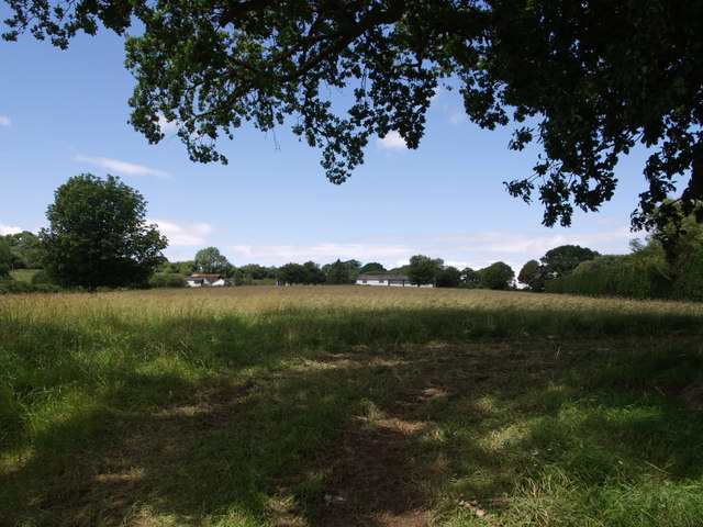
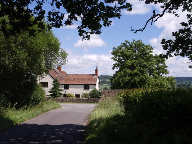
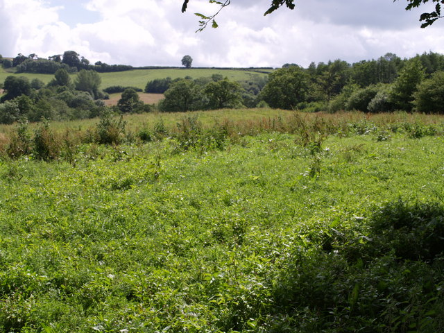
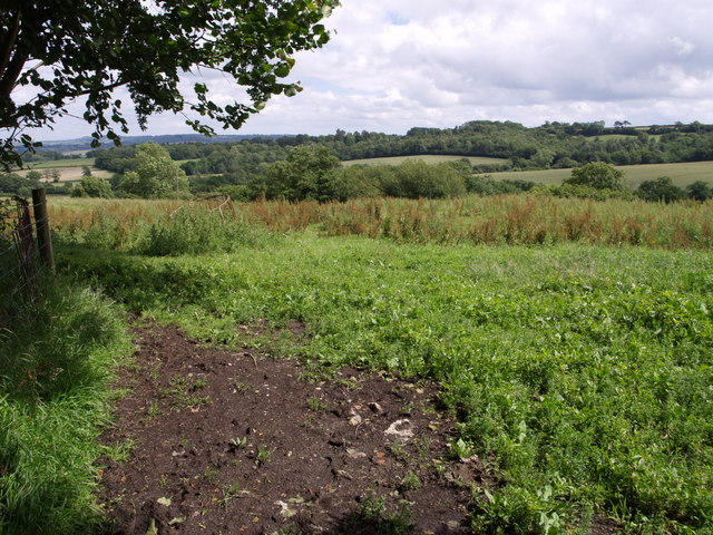
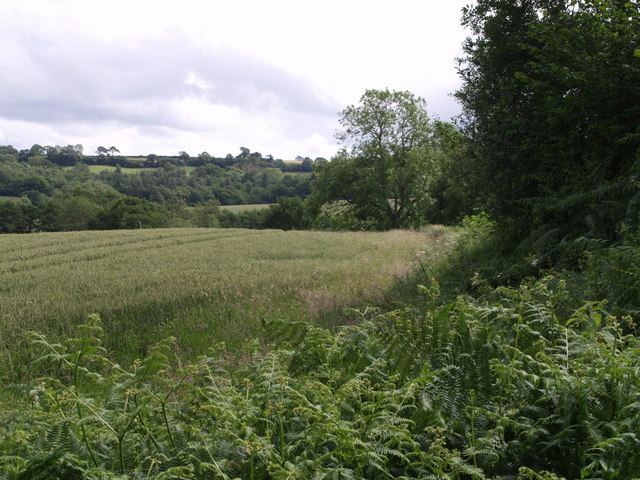
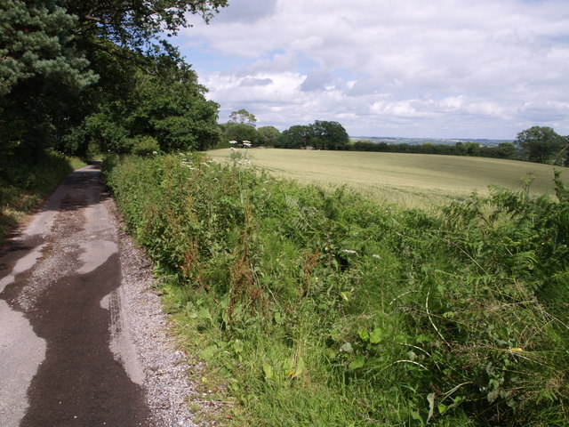
Helliar's Copse is a picturesque woodland located in Somerset, England. Situated near the village of Somerset, this enchanting forest covers an area of approximately 50 acres. The copse is named after the Helliar family, who were historically associated with the land.

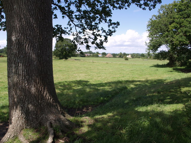
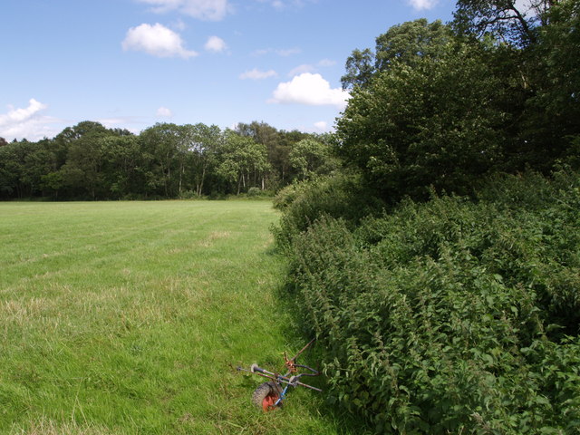
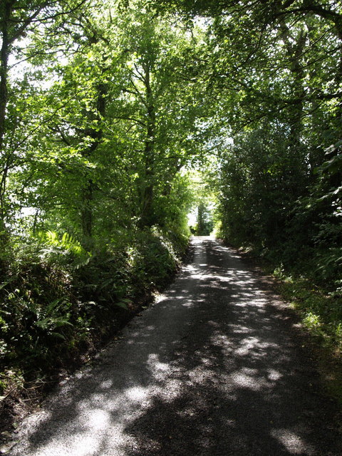
The woodland is characterized by its diverse range of tree species, including oak, beech, and ash trees. These majestic trees create a dense canopy, providing a peaceful and sheltered environment for both wildlife and visitors alike. The forest floor is carpeted with a variety of vibrant wildflowers, adding to the copse's natural beauty.

Helliar's Copse is a haven for birdwatchers and nature enthusiasts. The forest is home to a plethora of bird species, such as woodpeckers, thrushes, and owls. Visitors can often spot these feathered creatures flitting among the branches or hear their melodic songs echoing through the trees.

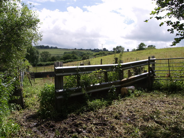
Walking trails wind their way through the copse, allowing visitors to explore its hidden corners and discover its hidden treasures. Along these paths, one may chance upon ancient stone walls and remnants of old structures, providing glimpses into the area's rich history.

With its tranquil atmosphere and picturesque setting, Helliar's Copse offers a serene escape from the bustling outside world. Whether one seeks solace in nature, desires a leisurely stroll, or wishes to immerse themselves in the beauty of a traditional English woodland, Helliar's Copse is a must-visit destination in Somerset.

If you have any feedback on the listing, please let us know in the comments section below.

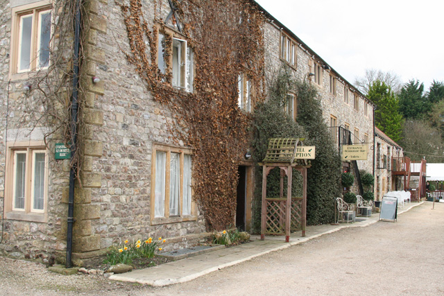
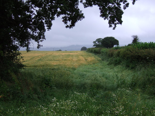
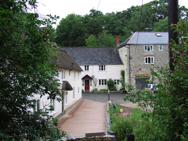
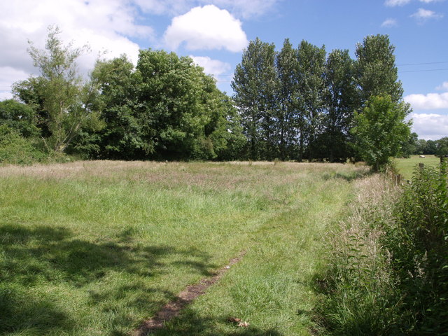
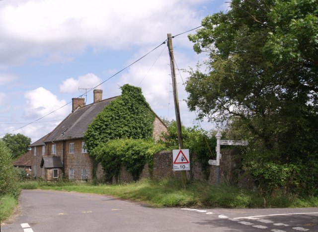
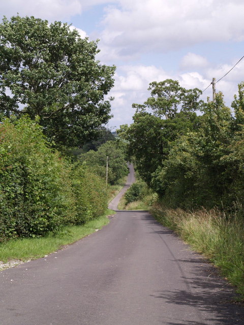
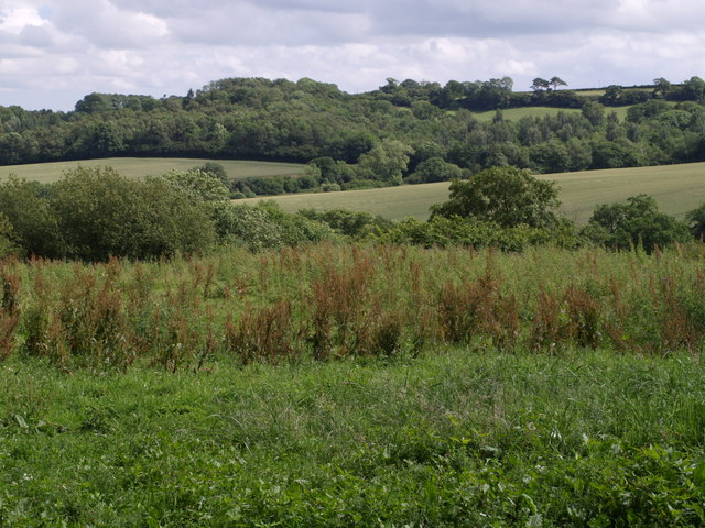
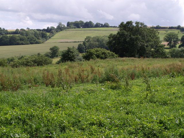
Helliar's Copse Images

Images are sourced within 2km of 50.904302/-2.9591007 or Grid Reference ST3212. Thanks to Geograph Open Source API. All images are credited.

Chard: Hornsbury Watermill Hotel, restaurant, bar and tea rooms featuring a working waterwheel. Open all year except January. Looking south west
Chard: Hornsbury Watermill
Hotel, restaurant, bar and tea rooms featuring a working waterwheel. Open all year except January. Looking south west
Field beside Greenway Lane Greenway Lane runs behind the hedge on the right, heading towards Clayhanger.
Field beside Greenway Lane
Greenway Lane runs behind the hedge on the right, heading towards Clayhanger.
Court Mill The early C19 former corn mill on the right, beside the River Isle, is now a dwelling. Beside it are the Mill House and mill cottage.
Court Mill
The early C19 former corn mill on the right, beside the River Isle, is now a dwelling. Beside it are the Mill House and mill cottage.
Trees by the River Isle The row of poplars is at right angles to the river, which flows (away from the camera) among the trees on the left across this little meadow. The old leat for the nearby Nimmer Mill is shown as entering this meadow, which might have been the millpond described in <span class="nowrap"><a title="http://webapp1.somerset.gov.uk/her/details.asp?prn=53163" rel="nofollow ugc noopener" href="http://webapp1.somerset.gov.uk/her/details.asp?prn=53163">Link</a><img style="margin-left:2px;" alt="External link" title="External link - shift click to open in new window" src="https://s1.geograph.org.uk/img/external.png" width="10" height="10"/></span> .
Trees by the River Isle
The row of poplars is at right angles to the river, which flows (away from the camera) among the trees on the left across this little meadow. The old leat for the nearby Nimmer Mill is shown as entering this meadow, which might have been the millpond described in LinkExternal link .
Holemoor Farm Some of the farm buildings seen across a field on the slopes of the Isle valley from the shade of an oak on the lane between Clayhanger and Clayhanger Common.
Holemoor Farm
Some of the farm buildings seen across a field on the slopes of the Isle valley from the shade of an oak on the lane between Clayhanger and Clayhanger Common.
Cottage at Clayhanger Common Moor Cottage is by a lane junction; the photo was taken from beneath an oak beside another lane junction. The lane in front of the cottage runs parallel to the A358.
Cottage at Clayhanger Common
Moor Cottage is by a lane junction; the photo was taken from beneath an oak beside another lane junction. The lane in front of the cottage runs parallel to the A358.
Peasmarsh Holly Farm and an adjoining cottage seen across meadows in the Isle valley from a layby using the former course of the A358.
Peasmarsh
Holly Farm and an adjoining cottage seen across meadows in the Isle valley from a layby using the former course of the A358.
Willett's Copse The wood is seen across a field beside Chilworthy Lane, which runs along to the right. A piece of farm machinery rests beside the nettles.
Willett's Copse
The wood is seen across a field beside Chilworthy Lane, which runs along to the right. A piece of farm machinery rests beside the nettles.
Crock Street The name presumably reflects the existence of pottery sites and kilns in the neighbourhood. The signpost seem to have lost two of its arms; Stibbear Lane, straight ahead past the attractive stone farmhouse at Crock Street Farm, leads to the A358 near Donyatt, having come down from the Blackdown Hills at Sticklepath, while the left turn goes to Horton.
Crock Street
The name presumably reflects the existence of pottery sites and kilns in the neighbourhood. The signpost seem to have lost two of its arms; Stibbear Lane, straight ahead past the attractive stone farmhouse at Crock Street Farm, leads to the A358 near Donyatt, having come down from the Blackdown Hills at Sticklepath, while the left turn goes to Horton.
Lane to Crock Street The lane is dropping the last few metres of its descent from the Blackdown Hills at Combe Beacon.
Lane to Crock Street
The lane is dropping the last few metres of its descent from the Blackdown Hills at Combe Beacon.
Southeast from Barley Hill A view across a valley on the eastern slopes of the Blackdown Hills, which drains (to the left) into the River Isle. The woods on the far side are Rookery Coppice and Ramshill Copse, and they shelter the estate at Chilworthy House. Seen from the lane between Sticklepath and Crock Street, near Barley Hill Farm. See <a href="https://www.geograph.org.uk/photo/481099">ST3112 : South from Barley Hill</a> for the view a little to the right, and <a href="https://www.geograph.org.uk/photo/481120">ST3112 : Southeast from Barley Hill</a> for a wide angle view including the landscape to the left of this one.
Southeast from Barley Hill
A view across a valley on the eastern slopes of the Blackdown Hills, which drains (to the left) into the River Isle. The woods on the far side are Rookery Coppice and Ramshill Copse, and they shelter the estate at Chilworthy House. Seen from the lane between Sticklepath and Crock Street, near Barley Hill Farm. See ST3112 : South from Barley Hill for the view a little to the right, and ST3112 : Southeast from Barley Hill for a wide angle view including the landscape to the left of this one.
South from Barley Hill Taken from the same spot as <a href="https://www.geograph.org.uk/photo/480906">ST3112 : Southeast from Barley Hill</a>, a view looking further to the right. The straight field boundary climbing the far hill forms the western edge of Ramshill Copse. Durdence Copse, in the valley, is largely hidden by the tree on the far side of the field in the foreground.
South from Barley Hill
Taken from the same spot as ST3112 : Southeast from Barley Hill, a view looking further to the right. The straight field boundary climbing the far hill forms the western edge of Ramshill Copse. Durdence Copse, in the valley, is largely hidden by the tree on the far side of the field in the foreground.
Field near  Barley Hill Farm This is the eastern part of Hobbs' Moor on the slopes of the Blackdown Hills. Taken from the same point as <a href="https://www.geograph.org.uk/photo/481099">ST3112 : South from Barley Hill</a>. The view extends across the upper part of the valley described in <a href="https://www.geograph.org.uk/photo/480906">ST3112 : Southeast from Barley Hill</a> into ST3012.
Field near Barley Hill Farm
This is the eastern part of Hobbs' Moor on the slopes of the Blackdown Hills. Taken from the same point as ST3112 : South from Barley Hill. The view extends across the upper part of the valley described in ST3112 : Southeast from Barley Hill into ST3012.
Southeast from Barley Hill See <a href="https://www.geograph.org.uk/photo/480906">ST3112 : Southeast from Barley Hill</a>, which is a close-up of the right-hand part of this view. Here the view extends further down the valley to the left, and the slopes north of Chilworthy House.
Southeast from Barley Hill
See ST3112 : Southeast from Barley Hill, which is a close-up of the right-hand part of this view. Here the view extends further down the valley to the left, and the slopes north of Chilworthy House.
Near Barley Hill Farm A view across a field and the valley shown in <a href="https://www.geograph.org.uk/photo/481099">ST3112 : South from Barley Hill</a> to Ramshill Copse, from the lane bend near the farm.
Near Barley Hill Farm
A view across a field and the valley shown in ST3112 : South from Barley Hill to Ramshill Copse, from the lane bend near the farm.
Pound at Barley Hill Farm Fencing forming a pound at the corner of a field opposite Barley Hill Farm.
Pound at Barley Hill Farm
Fencing forming a pound at the corner of a field opposite Barley Hill Farm.
Field and lane at Barley Hill Farm The lane, to Crock Street, almost immediately crosses into ST3113, so this is a view practically along the gridline at the northern edge of the square, with a wheatfield beside the lane. The water finding its way onto the lane indicates how much rain has fallen in recent weeks.
Field and lane at Barley Hill Farm
The lane, to Crock Street, almost immediately crosses into ST3113, so this is a view practically along the gridline at the northern edge of the square, with a wheatfield beside the lane. The water finding its way onto the lane indicates how much rain has fallen in recent weeks.
Lane to Sticklepath A shady stretch of the lane climbing the Blackdown Hills past Barley Hill Farm approaches the junction with Forest Lane (bridleway CH7/22).
Lane to Sticklepath
A shady stretch of the lane climbing the Blackdown Hills past Barley Hill Farm approaches the junction with Forest Lane (bridleway CH7/22).
Show me another place!

Helliar's Copse is located at Grid Ref: ST3212 (Lat: 50.904302, Lng: -2.9591007)

Administrative County: Somerset

District: South Somerset

Police Authority: Avon and Somerset

What 3 Words

///candy.campfires.rashers. Near Chard, Somerset

Related Wikis

Woolhayes Farm

Woolhayes Farm (grid reference ST315109) is a 13.2 hectare (32.5 acre) biological Site of Special Scientific Interest east of Combe St Nicholas in Somerset...

Knowle St Giles

Knowle St Giles is a village and civil parish in the South Somerset district of Somerset, England, situated on the River Isle 2 miles (3 km) south of Ilminster...

Church of St Mary, Donyatt

The Anglican Church of st Mary in Donyatt, Somerset, England was built in the 15th century. It is a Grade II* listed building. == History == The church...

Chard Reservoir

Chard Reservoir is a 36.97-hectare (91.4-acre) reservoir north east of Chard Somerset, England. It is owned and managed by South Somerset District Council...

Donyatt

Donyatt is a village and civil parish in Somerset, England, situated at the source of the River Isle 5 miles (8.0 km) north of Chard in the South Somerset...

Church of St Nicholas, Combe St Nicholas

The Church of St Nicholas in Combe St Nicholas, Somerset, England is Norman in origin, with the chancel and lower stage of the tower dating from the 13th...

Combe St Nicholas

Combe St Nicholas is a village and parish in Somerset, England, situated 2 miles (3.2 km) northwest of Chard and 10 miles (16 km) from Taunton in the South...

Horton, Somerset

Horton is a village and civil parish in Somerset, England, situated 5 miles (8.0 km) north of Chard in the South Somerset district. The village has a...

Have you been to Helliar's Copse?

Leave your review of Helliar's Copse below (or comments, questions and feedback).