Birks Wood
Wood, Forest in Lancashire South Lakeland
England
Birks Wood
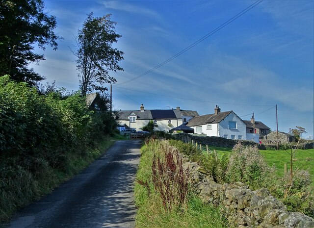
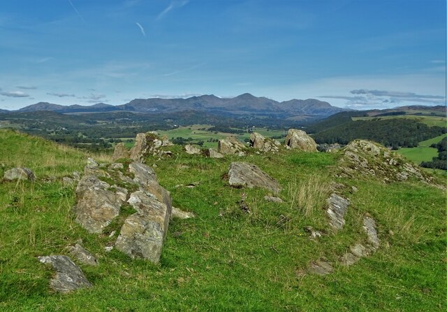
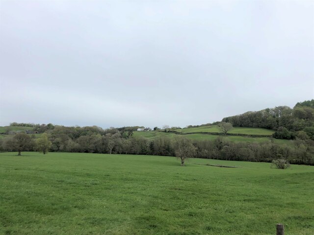
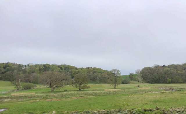
Birks Wood is a charming forest located in the county of Lancashire, England. This woodland, covering approximately 100 acres, is nestled within the rural and picturesque landscape of the Ribble Valley. The wood is situated just a few miles to the northeast of the market town of Clitheroe.
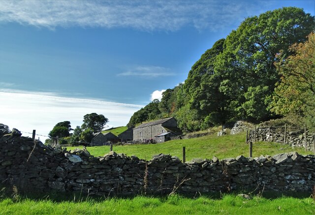
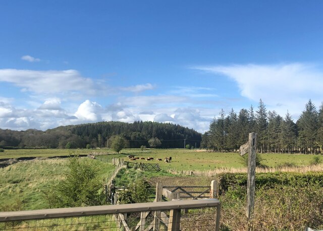
Birks Wood boasts a diverse range of tree species, including oak, beech, birch, and sycamore, creating a rich and vibrant canopy that covers the forest floor. The woodland is also home to an array of wildlife, making it a haven for nature enthusiasts and bird watchers. Visitors may be lucky enough to spot various bird species, such as woodpeckers, owls, and thrushes, as well as mammals like deer, foxes, and squirrels.
The wood offers several walking trails, allowing visitors to explore its tranquil beauty at their own pace. The paths wind through the forest, leading to hidden clearings and meadows, where one can relax and appreciate the peaceful surroundings. These trails are well-maintained and suitable for all ages and abilities.
Birks Wood holds historical significance too, as it is believed to have been part of the ancient hunting grounds of the local nobility. The forest has been protected for many years, ensuring its preservation for future generations to enjoy. The Woodland Trust, a leading conservation organization, manages and maintains the woodland, ensuring it remains a haven for both wildlife and visitors alike.
Overall, Birks Wood offers a serene and enchanting experience for those seeking solace in nature. Its diverse flora and fauna, along with its rich history, make it a must-visit destination for anyone exploring the natural beauty of Lancashire.
If you have any feedback on the listing, please let us know in the comments section below.
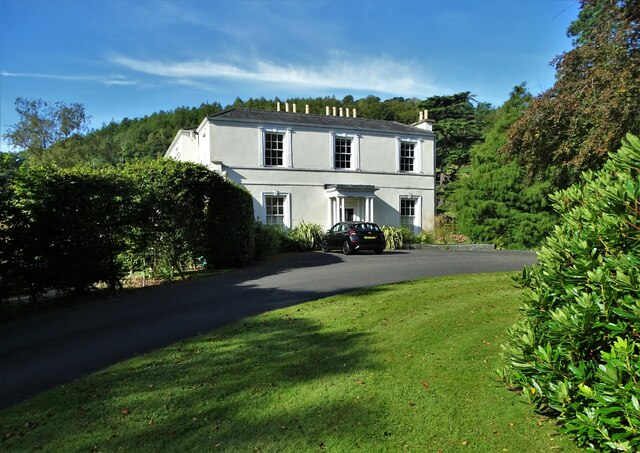
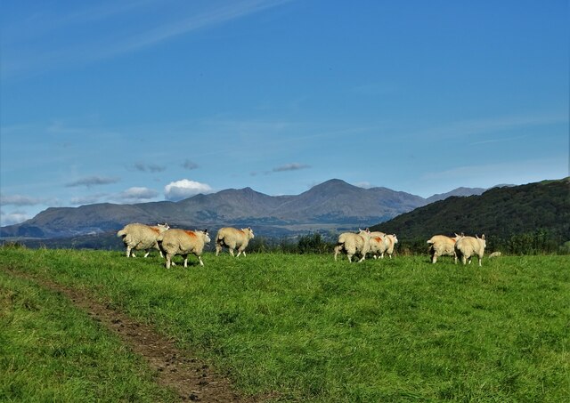
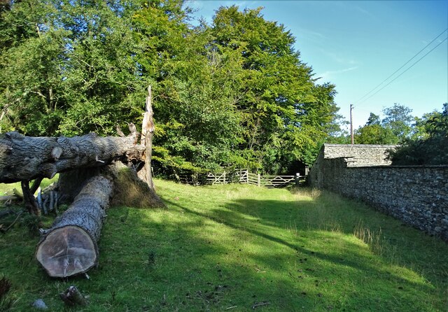
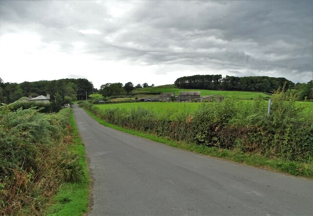
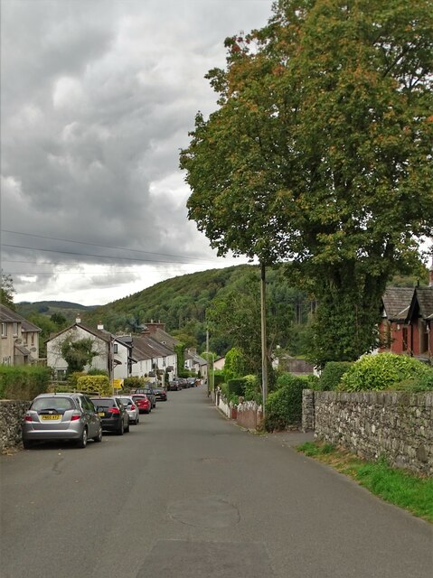
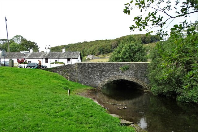
Birks Wood Images
Images are sourced within 2km of 54.246787/-3.0503936 or Grid Reference SD3183. Thanks to Geograph Open Source API. All images are credited.
Birks Wood is located at Grid Ref: SD3183 (Lat: 54.246787, Lng: -3.0503936)
Administrative County: Cumbria
District: South Lakeland
Police Authority: Cumbria
What 3 Words
///barbarian.surging.basic. Near Ulverston, Cumbria
Nearby Locations
Related Wikis

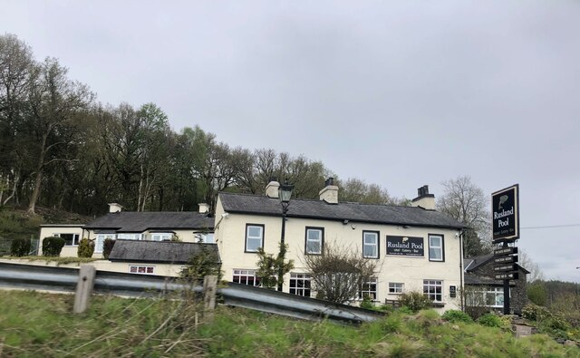
Rusland Pool
Rusland Pool is a small stream or beck running through the administrative county of Cumbria. Before 1974, Rusland Pool was in Lancashire. The source of...

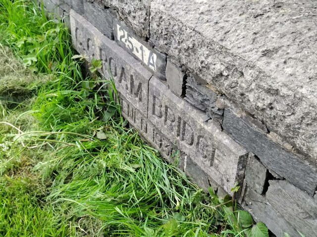
Spark Bridge
Spark Bridge is a former mill village in Cumbria, England, within the Lake District National Park, and within the historic boundaries of Lancashire. The...

River Leven, Cumbria
The River Leven (pron. LEV-ən) is a short river in the ceremonial county of Cumbria, falling within the historic boundaries of Lancashire. It drains Windermere...

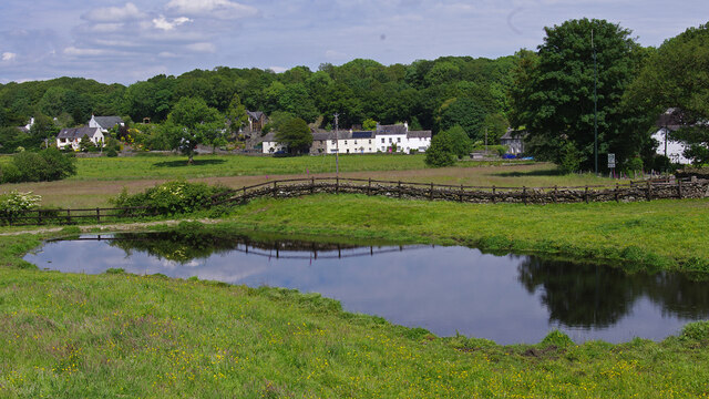
Greenodd
Greenodd is a village in the Furness area of the county of Cumbria, England, but within the historical county of Lancashire. For local government purposes...

Egton with Newland
Egton with Newland, sometimes written as "Egton-with-Newland", is a civil parish in the South Lakeland district of the English county of Cumbria. It includes...

St Mary's Church, Penny Bridge
St Mary's Church is on a site overlooking the villages of Penny Bridge and Greenodd, in the parish of Egton with Newland, Cumbria, England. It is an active...

River Crake
The River Crake is a short river in the English Lake District. The name probably derives from the Celtic languages (most likely Brythonic languages; ie...
Greenodd railway station
Greenodd railway station was on the route between Ulverston and Lakeside, built by the Furness Railway. It served the village of Greenodd, then in Lancashire...
Nearby Amenities
Located within 500m of 54.246787,-3.0503936Have you been to Birks Wood?
Leave your review of Birks Wood below (or comments, questions and feedback).