Alder Grove
Wood, Forest in Devon East Devon
England
Alder Grove

Alder Grove, located in the picturesque county of Devon, England, is a captivating wood and forest area that enchants visitors with its natural beauty and tranquility. Nestled amidst rolling hills and meandering streams, this idyllic destination offers a serene retreat for nature lovers and outdoor enthusiasts.
The dominant feature of Alder Grove is its dense population of alder trees, which lend the woodland its name. These majestic trees, with their distinctive silvery bark and vibrant green leaves, create a stunning canopy that provides shade and shelter to the diverse flora and fauna that call this forest home.
The forest floor is adorned with a rich carpet of wildflowers, including primroses, bluebells, and wood anemones, adding bursts of color to the verdant landscape. Meandering through the woods, visitors will discover a network of well-maintained trails, allowing them to explore the area at their own pace. The paths wind through ancient oak and beech trees, providing glimpses of charming wildlife, such as squirrels, deer, and a myriad of bird species.
Alder Grove is also home to a small stream that meanders through the forest, its gentle babbling providing a soothing soundtrack to the woodland experience. The stream teems with life, hosting a variety of fish and amphibians, while also providing a refreshing spot for visitors to cool off on warm summer days.
With its enchanting beauty and abundant wildlife, Alder Grove offers a true sanctuary for those seeking solace in nature. Whether it's a leisurely stroll, a picnic by the stream, or simply taking in the sights and sounds of the forest, this hidden gem in Devon is a must-visit for nature enthusiasts and those looking to reconnect with the natural world.
If you have any feedback on the listing, please let us know in the comments section below.
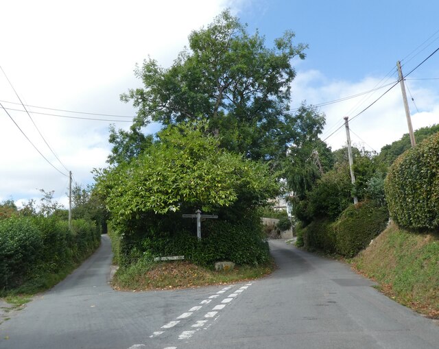
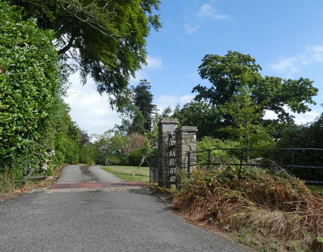
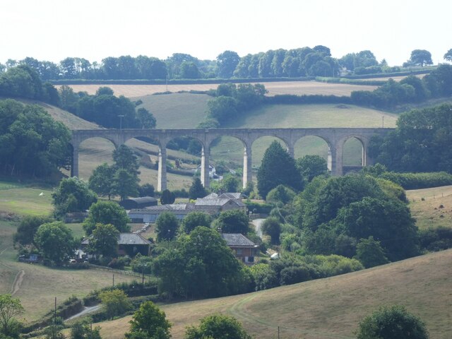
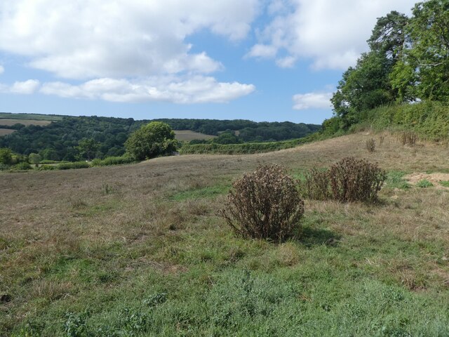
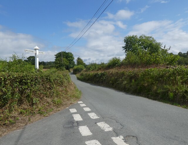
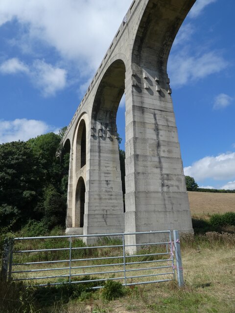
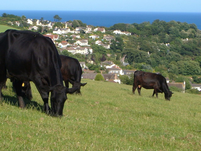
Alder Grove Images
Images are sourced within 2km of 50.725251/-2.9716472 or Grid Reference SY3192. Thanks to Geograph Open Source API. All images are credited.


Alder Grove is located at Grid Ref: SY3192 (Lat: 50.725251, Lng: -2.9716472)
Administrative County: Devon
District: East Devon
Police Authority: Devon and Cornwall
What 3 Words
///socket.panic.servicing. Near Lyme Regis, Dorset
Nearby Locations
Related Wikis

Pinhay
Pinhay is a hamlet in the civil parish of Combpyne Rousdon in the East Devon district of Devon, England. The hamlet lies approximately 1.5 miles (2.4 km...
Holcombe, East Devon
Holcombe is a hamlet in the district of East Devon in the English county of Devon. Holcombe is located northwest of the town of Lyme Regis about a mile...
Furzehill Plantation
Furzehill Plantation is a woodland in Devon, England, near the village of Uplyme. It covers a total area of 1.22 hectares (3.01 acres). It is owned and...
Ware, Devon
Ware is a hamlet in the East Devon district of Devon, England. The hamlet lies approximately 0.8 miles (1.3 km) south-west from Lyme Regis, just off the...
Combpyne railway station
Combpyne railway station was the intermediate station on the Lyme Regis branch line in East Devon, England. Serving the village of Combpyne, it was sited...
Pinhay Bay
Pinhay Bay is a bay in Devon, on the south coast of England, about 2 kilometres (1.2 mi) southwest of Lyme Regis and about 6 kilometres (3.7 mi) east of...
The Woodroffe School
The Woodroffe School is a comprehensive school in Lyme Regis, Dorset, England. == Lyme Regis Grammar School == From 1923-1971 the school was known as Lyme...

Ware Cliffs
Ware Cliffs are a set of long cliffs which stretch westwards from the town of Lyme Regis in Dorset to the Ware hamlet in the East Devon district of Devon...
Nearby Amenities
Located within 500m of 50.725251,-2.9716472Have you been to Alder Grove?
Leave your review of Alder Grove below (or comments, questions and feedback).