Brantwood Coppice
Wood, Forest in Lancashire South Lakeland
England
Brantwood Coppice
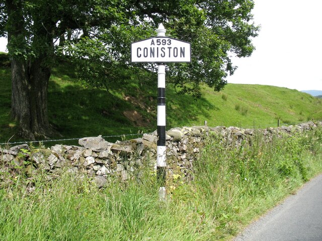
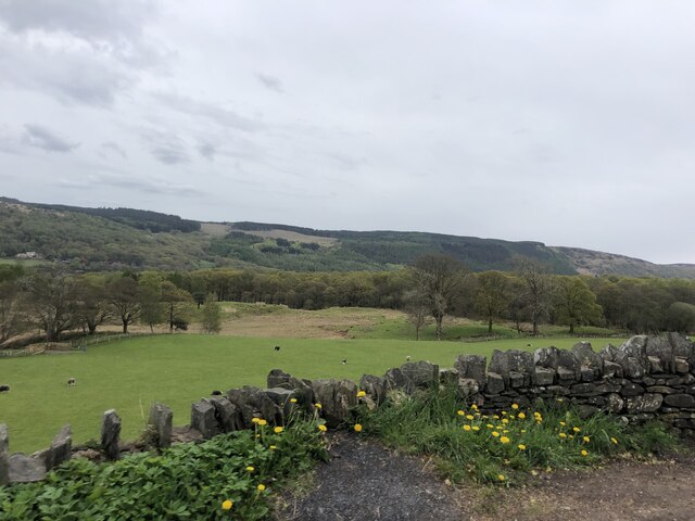
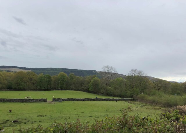
Brantwood Coppice, located in Lancashire, is a mesmerizing woodland area that spans over a considerable expanse. Situated near the village of Coniston, it is nestled within the picturesque Lake District National Park, renowned for its stunning natural beauty. The coppice itself covers an area of lush greenery, encompassing a diverse range of trees, plants, and wildlife.
This woodland haven offers visitors a peaceful retreat amidst the hustle and bustle of modern life. The canopy of trees provides welcome shade on warm summer days, while the forest floor is carpeted with a rich variety of flora, including bluebells, ferns, and mosses. The air is filled with the invigorating scent of pine and the melodious sounds of birdsong.
Brantwood Coppice is home to an array of wildlife, making it a haven for nature enthusiasts and animal lovers alike. Roe deer, foxes, and badgers can be spotted roaming freely, and lucky visitors may even catch a glimpse of the elusive red squirrel. The area is also abundant in birdlife, with woodpeckers, owls, and various species of songbirds calling the coppice their home.
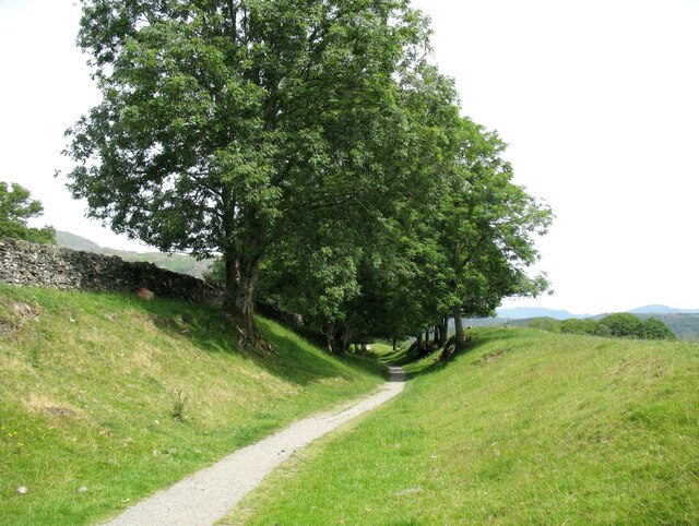
The wood is crisscrossed with walking trails and footpaths, allowing visitors to explore its natural wonders at their leisure. As they meander through the woodland, visitors can immerse themselves in the tranquility of nature, enjoying the sights, sounds, and fragrances that surround them.
Brantwood Coppice is a treasured part of Lancashire's natural heritage, offering a sanctuary for both flora and fauna. Its beauty and serenity make it a must-visit destination for nature enthusiasts and those seeking solace in the embrace of the great outdoors.
If you have any feedback on the listing, please let us know in the comments section below.
Brantwood Coppice Images
Images are sourced within 2km of 54.352405/-3.0571484 or Grid Reference SD3195. Thanks to Geograph Open Source API. All images are credited.


Brantwood Coppice is located at Grid Ref: SD3195 (Lat: 54.352405, Lng: -3.0571484)
Administrative County: Cumbria
District: South Lakeland
Police Authority: Cumbria
What 3 Words
///prancing.table.hockey. Near Windermere, Cumbria
Nearby Locations
Related Wikis
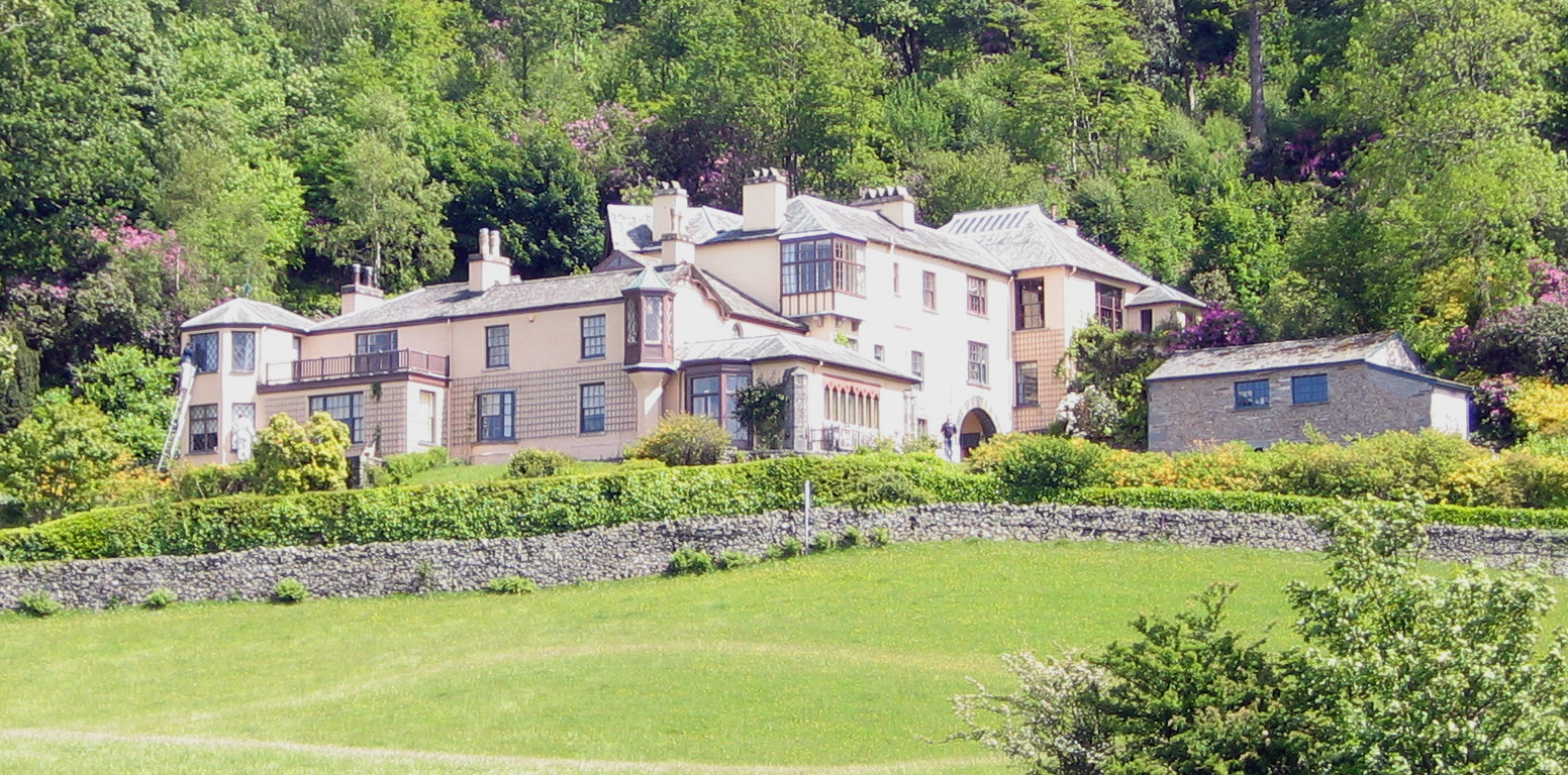
Brantwood
Brantwood is a historic house museum in Cumbria, England, overlooking Coniston Water. It has been the home of a number of prominent people. The house and...

Coniston Water
Coniston Water is a lake in the Lake District in North West England. It is the third largest by volume, after Windermere and Ullswater, and the fifth-largest...

Lawson Park
Lawson Park is a remote English Lake District hillfarm, leased by Grizedale Arts (a contemporary art commissioner) from the Forestry Commission. It is...

Coniston Hall
Coniston Hall is a former house on the west bank of Coniston Water in the English Lake District. It is recorded in the National Heritage List for England...
Nearby Amenities
Located within 500m of 54.352405,-3.0571484Have you been to Brantwood Coppice?
Leave your review of Brantwood Coppice below (or comments, questions and feedback).