Bank Ground Low Wood
Wood, Forest in Lancashire South Lakeland
England
Bank Ground Low Wood
Bank Ground Low Wood is a picturesque forest located in Lancashire, England. Situated near the village of Wood, this natural haven offers a serene escape for nature enthusiasts and outdoor adventurers alike.
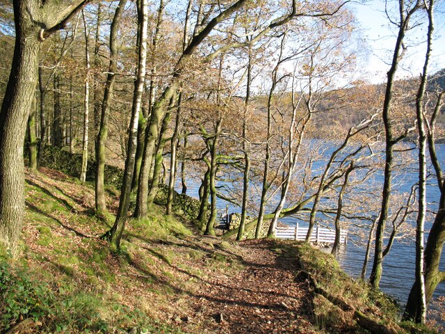
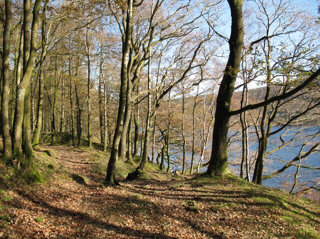
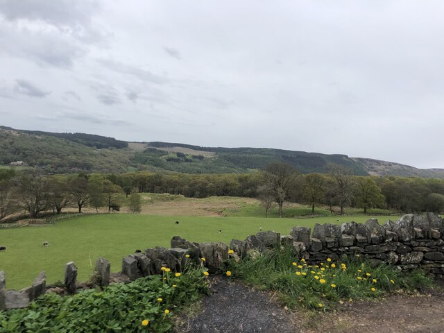
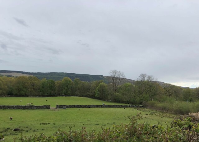
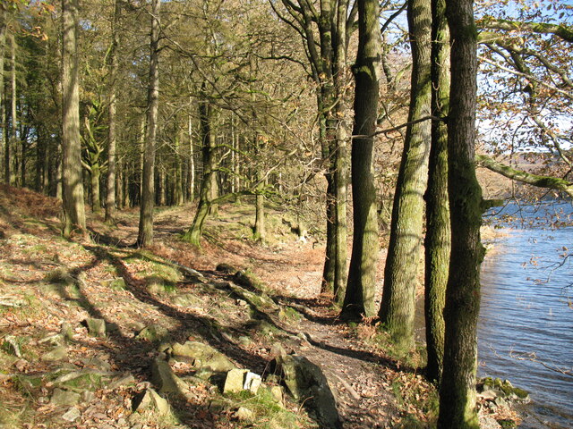
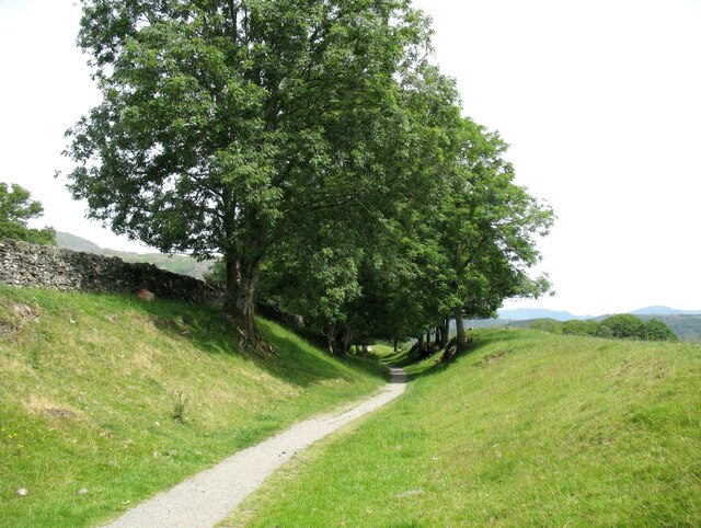
Covering a vast area of lush greenery, Bank Ground Low Wood is home to a diverse range of flora and fauna. Towering oak and beech trees dominate the landscape, interspersed with patches of vibrant wildflowers and ferns. The forest floor is carpeted with a thick layer of moss, creating a soft and inviting path for visitors to explore.
Tranquility is the hallmark of this woodland sanctuary. The sound of birdsong fills the air, as numerous avian species find refuge in the dense foliage. Squirrels dart through the branches, adding an element of liveliness to the serene atmosphere. The occasional glimpse of a deer or other wildlife adds a touch of magic to any visit.
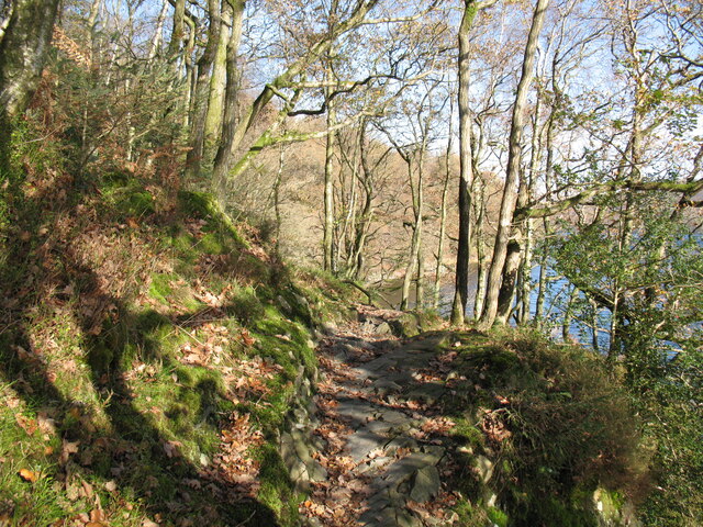
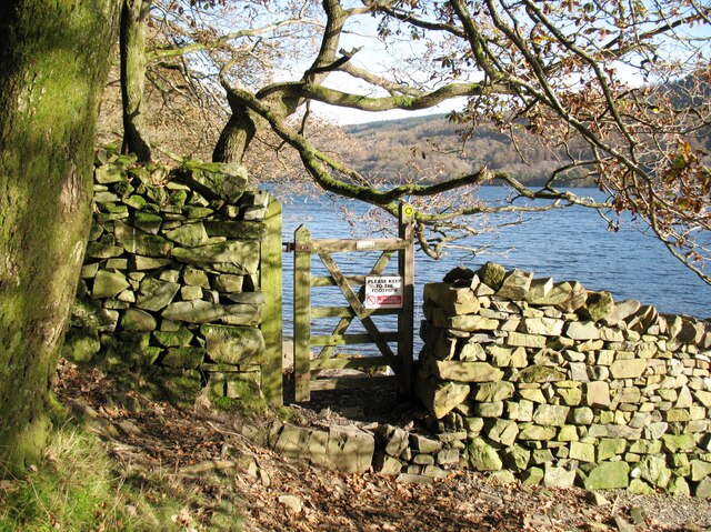
Bank Ground Low Wood offers a variety of walking trails, allowing visitors to immerse themselves in the beauty of the forest. These paths wind through the trees, leading to hidden clearings and peaceful streams. Along the way, informative signs provide insights into the natural history and ecological significance of the area.
For those seeking an extended stay, Bank Ground Low Wood offers camping facilities, allowing visitors to fully immerse themselves in the tranquility of the forest. Whether it's pitching a tent under the canopy of trees or enjoying a picnic in one of the designated areas, this woodland retreat provides a welcome respite from the hustle and bustle of everyday life.
In conclusion, Bank Ground Low Wood is a captivating forest in Lancashire, offering a peaceful retreat for nature lovers. With its diverse array of flora and fauna, tranquil ambiance, and well-maintained trails, this woodland sanctuary provides a haven for those seeking solace in the embrace of nature.
If you have any feedback on the listing, please let us know in the comments section below.
Bank Ground Low Wood Images
Images are sourced within 2km of 54.350783/-3.0597684 or Grid Reference SD3195. Thanks to Geograph Open Source API. All images are credited.


Bank Ground Low Wood is located at Grid Ref: SD3195 (Lat: 54.350783, Lng: -3.0597684)
Administrative County: Cumbria
District: South Lakeland
Police Authority: Cumbria
What 3 Words
///fracture.segmented.tarnished. Near Windermere, Cumbria
Nearby Locations
Related Wikis
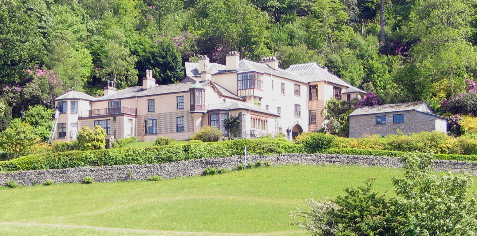
Brantwood
Brantwood is a historic house museum in Cumbria, England, overlooking Coniston Water. It has been the home of a number of prominent people. The house and...

Coniston Water
Coniston Water is a lake in the Lake District in North West England. It is the third largest by volume, after Windermere and Ullswater, and the fifth-largest...

Lawson Park
Lawson Park is a remote English Lake District hillfarm, leased by Grizedale Arts (a contemporary art commissioner) from the Forestry Commission. It is...

Coniston Hall
Coniston Hall is a former house on the west bank of Coniston Water in the English Lake District. It is recorded in the National Heritage List for England...
Nearby Amenities
Located within 500m of 54.350783,-3.0597684Have you been to Bank Ground Low Wood?
Leave your review of Bank Ground Low Wood below (or comments, questions and feedback).