Bakestone Barrow Wood

Wood, Forest in Lancashire South Lakeland

England

Bakestone Barrow Wood

Summit Cairn on Birk Fell With grand views of the Langdales in the distance.
Summit Cairn on Birk Fell Credit: Matthew Hatton

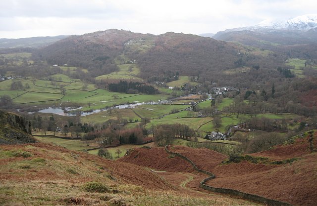
Bakestone Barrow Wood is a picturesque woodland located in Lancashire, England. Covering an area of approximately 50 hectares, this enchanting forest is a popular destination for nature enthusiasts and outdoor adventurers alike.

The wood is characterized by a diverse range of tree species, including oak, beech, birch, and willow. These towering trees create a lush canopy that provides shade and shelter for a variety of wildlife. Visitors to the wood can expect to encounter a plethora of bird species, such as woodpeckers, owls, and songbirds, as well as small mammals like squirrels and rabbits.

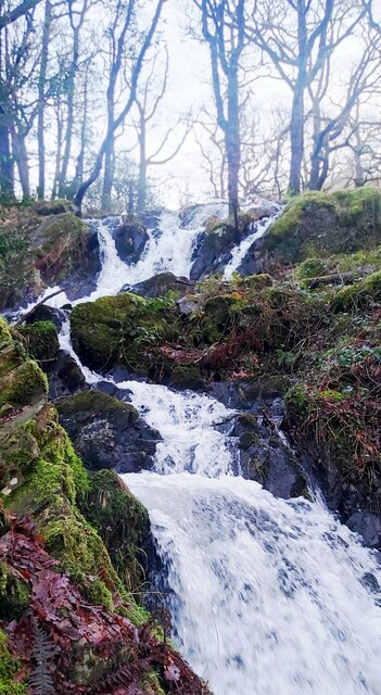
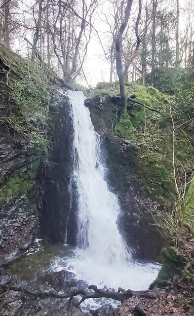
Traversing Bakestone Barrow Wood is made easy by a network of well-maintained footpaths and trails. These winding paths offer visitors the opportunity to explore the wood at their own pace, taking in the tranquil surroundings and enjoying the serenity of nature. Along the way, one may come across babbling brooks, charming wildflowers, and even the occasional hidden waterfall.

For those seeking a more immersive experience, the wood also offers camping facilities and picnic areas. This provides an opportunity for families and friends to spend quality time together in the heart of nature, enjoying a meal amidst the peaceful ambiance of the forest.

Overall, Bakestone Barrow Wood in Lancashire is a delightful destination for those looking to escape the hustle and bustle of city life and reconnect with nature. Whether it's a leisurely stroll, a picnic, or a camping adventure, this wood offers something for everyone to enjoy.

If you have any feedback on the listing, please let us know in the comments section below.

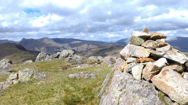
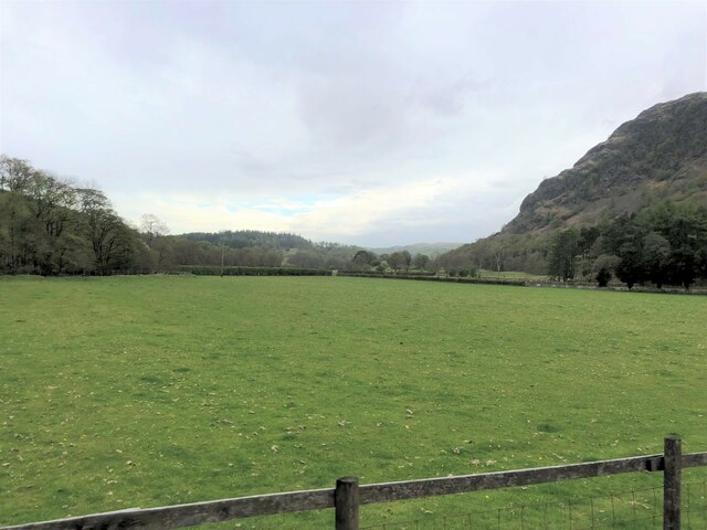
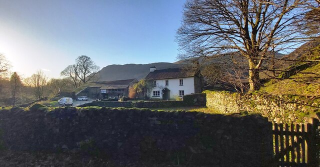
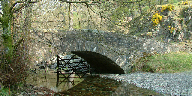
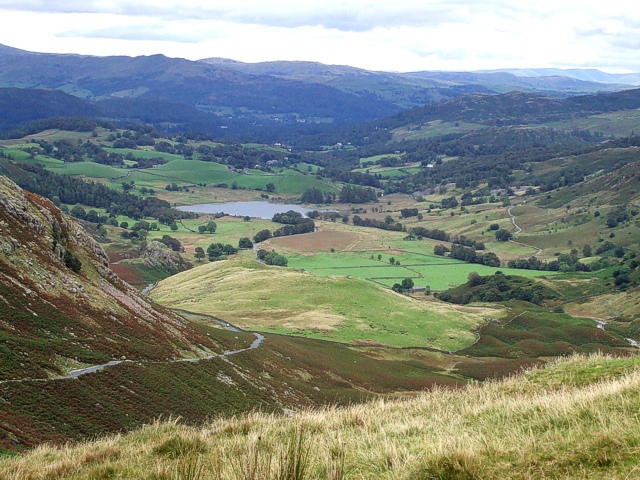
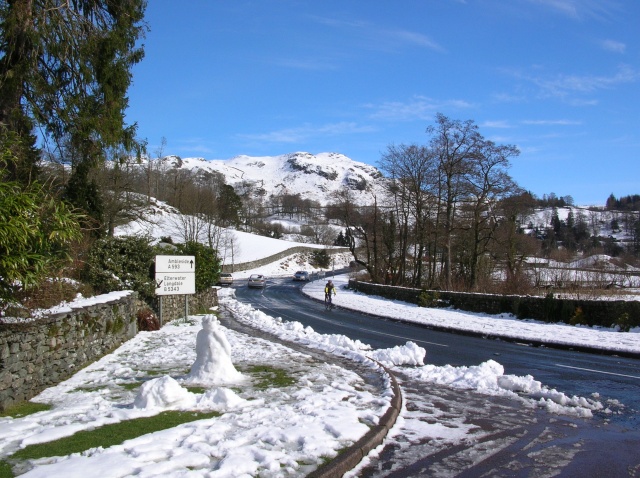
Bakestone Barrow Wood Images

Images are sourced within 2km of 54.403941/-3.0600913 or Grid Reference NY3101. Thanks to Geograph Open Source API. All images are credited.

Summit Cairn on Birk Fell With grand views of the Langdales in the distance.
Summit Cairn on Birk Fell
With grand views of the Langdales in the distance.
On Hawk Rigg A perfect spring day on the fells
On Hawk Rigg
A perfect spring day on the fells
Birk Fell Birk Fell, at the centre of the image, is a feature of the north-east ridge of Wetherlam.
Birk Fell
Birk Fell, at the centre of the image, is a feature of the north-east ridge of Wetherlam.
Sheep grazing near Tarn Hows Woods
Yewdale Valley Yewdale Crag to the right
Yewdale Valley
Yewdale Crag to the right
A593 between Coniston and Ambleside
Gates near High Yewdale The gates are on the public footpath from Low Yewdale to High Yewdale.
Gates near High Yewdale
The gates are on the public footpath from Low Yewdale to High Yewdale.
Road near Shepherd’s Bridge This quiet road leads from Yewdale to Holme Ground and Hodge Close; it was once busy with traffic from the many slate quarries in the area when these were operational.
Road near Shepherd’s Bridge
This quiet road leads from Yewdale to Holme Ground and Hodge Close; it was once busy with traffic from the many slate quarries in the area when these were operational.
Tom Ghyll Waterfalls
Tom Ghyll Waterfall
Tom Ghyll Waterfall
Yew Tree Farm
Yew Tree Farm
Shepherd's Bridge,  High Yewdale The water is Yewdale Beck
Shepherd's Bridge, High Yewdale
The water is Yewdale Beck
Coniston Knitting Gallery at Yew Tree Farm Coniston. In days gone by farming families used to knit woollen socks to supplement their income. The gallery allowed them to sit out under cover for good light.
Coniston
Knitting Gallery at Yew Tree Farm Coniston. In days gone by farming families used to knit woollen socks to supplement their income. The gallery allowed them to sit out under cover for good light.
Yewdale Fells Looking south from a point at the southern tip of a small knoll at NY302000 (denoted on the OS 1:25000 by the height 340m). The high point on the skyline is a summit named Low Wythow (SD303993).
The square has a Public Footpath through it which is quite indistinct. Yewdale has been used for several orienteering events, the complex contours providing difficult navigation. The OS maps are inadequate for detailed navigation on this type of terrain. I was using a map specifically used for a mountain orienteering event.
Yewdale Fells
Looking south from a point at the southern tip of a small knoll at NY302000 (denoted on the OS 1:25000 by the height 340m). The high point on the skyline is a summit named Low Wythow (SD303993). The square has a Public Footpath through it which is quite indistinct. Yewdale has been used for several orienteering events, the complex contours providing difficult navigation. The OS maps are inadequate for detailed navigation on this type of terrain. I was using a map specifically used for a mountain orienteering event.
Tom Ghyll Waterfall Waterfall close to Tarn Hows on footpath from Glen Mary Bridge.
Tom Ghyll Waterfall
Waterfall close to Tarn Hows on footpath from Glen Mary Bridge.
Near start of lane to Holme Ground Looking to craggy outcrop on Holme Fell / Ivy Crag in the next square north.
Near start of lane to Holme Ground
Looking to craggy outcrop on Holme Fell / Ivy Crag in the next square north.
Bottom of Tom Ghyll
Bottom of Tom Ghyll
Tom Ghyll waterfall
Tom Ghyll waterfall
Show me another place!

Bakestone Barrow Wood is located at Grid Ref: NY3101 (Lat: 54.403941, Lng: -3.0600913)

Administrative County: Cumbria

District: South Lakeland

Police Authority: Cumbria

What 3 Words

///princely.rules.coil. Near Ambleside, Cumbria

Related Wikis

Holme Fell

Holme Fell or Holm Fell is a fell in the Lake District in Cumbria, England. It is located between Coniston Water and Little Langdale, almost isolated from...

Yew Tree Tarn

Yew Tree Tarn is a small lake in the English Lake District situated in between the towns of Ambleside and Coniston. The tarn was formed when the local...

Slater's Bridge

Slater's Bridge is a traditional packhorse bridge in Little Langdale in the English Lake District, standing at National Grid Reference NY3120502996....

Little Langdale

Little Langdale is a valley in the Lake District, England, containing Little Langdale Tarn and a hamlet also called Little Langdale. A second tarn, Blea...

Ting Mound

The Ting Mound or Thing Moot at Fellfoot Farm, Little Langdale, Cumbria, England is an Ancient Monument (a 'nationally important' archaeological site)...

Wetherlam

Wetherlam (763 m) is a mountain in the English Lake District. It is the most northerly of the Coniston Fells, the range of fells to the north-west of Coniston...

Skelwith

Skelwith is a civil parish in South Lakeland, Cumbria, England, which includes the village of Skelwith Bridge. In the 2001 census the parish had a population...

Black Fell (Lake District)

Black Fell is a fell in the English Lake District. It rises to the north of Tarn Hows, between Coniston and Hawkshead. == Topography == Black Fell is the...

Nearby Amenities

Located within 500m of 54.403941,-3.0600913
Holme Ground
Place: hamlet
Lat/Long: 54.401541/-3.0625664
Barrier: stile
Material: wood
Stile: stepover
Lat/Long: 54.404749/-3.0549915
Barrier: stile
Lat/Long: 54.4015434/-3.0656982
Barrier: kissing_gate
Source: survey;gps
Lat/Long: 54.4032642/-3.067141
Mirk Hole Quarry
Abandoned: yes
Landuse: quarry
Lat/Long: 54.4073045/-3.063336
Calf How
Place: locality
Lat/Long: 54.4026738/-3.0628467
Direction: 45
Note: View of the Hodge Close Skull when the water is mirror like
Tourism: viewpoint
Lat/Long: 54.4060358/-3.0546189
Peat Field Quarry
Abandoned: yes
Landuse: quarry
Place: locality
Lat/Long: 54.404926/-3.0579088
Hiking: yes
Information: guidepost
Tourism: information
Lat/Long: 54.4030824/-3.0550535
Hiking: yes
Information: guidepost
Source: GPS Survey
Tourism: information
Lat/Long: 54.4032758/-3.0671714
Hiking: yes
Information: guidepost
Source: GPS Survey
Tourism: information
Lat/Long: 54.4005788/-3.0649602
Barrier: stile
Lat/Long: 54.4015434/-3.0656982
Power: pole
Lat/Long: 54.4037125/-3.0673897
Power: pole
Lat/Long: 54.4032374/-3.06614
Power: pole
Lat/Long: 54.4017301/-3.0622005
Power: pole
Lat/Long: 54.4017825/-3.0631435
The data included in this document is from www.openstreetmap.org. The data is made available under ODbL.

Have you been to Bakestone Barrow Wood?

Leave your review of Bakestone Barrow Wood below (or comments, questions and feedback).