Cheshire's Wood

Wood, Forest in Shropshire

England

Cheshire's Wood

Steplis on minor road
Steplis on minor road Credit: John Firth

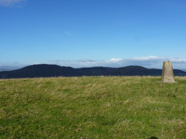
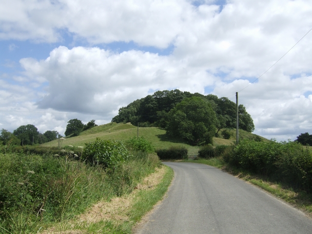
Cheshire's Wood is a picturesque forest located in the county of Shropshire, England. Covering an area of approximately 50 acres, this woodland is renowned for its natural beauty, diverse ecosystem, and rich history.

The forest is predominantly composed of mature oak, beech, and birch trees, which create a dense and enchanting canopy. Walking through the woodland, visitors can enjoy the tranquility and peacefulness that this ancient forest provides. The forest floor is covered in a lush carpet of ferns, bluebells, and wildflowers, adding to the area's charm.

Cheshire's Wood is also home to a variety of wildlife. Bird enthusiasts will be delighted to spot species such as woodpeckers, owls, and various songbirds. The forest is also inhabited by mammals like foxes, badgers, and squirrels, which can occasionally be observed going about their daily routines.

This woodland has a rich history that dates back centuries. It is believed that the forest was once part of a hunting ground for local nobility. Traces of ancient pathways and deer parks can still be found within the woodland, adding an intriguing aspect to its allure.

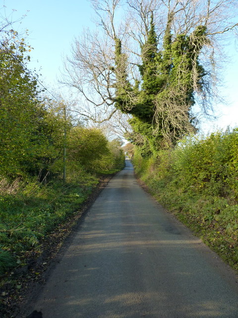
The forest offers several walking trails, allowing visitors to explore its beauty at their own pace. With its serene atmosphere, Cheshire's Wood is a popular destination for nature lovers, hikers, and those seeking a peaceful retreat in the heart of Shropshire.

If you have any feedback on the listing, please let us know in the comments section below.

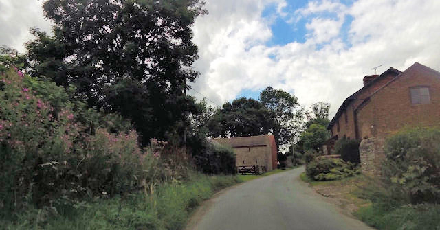
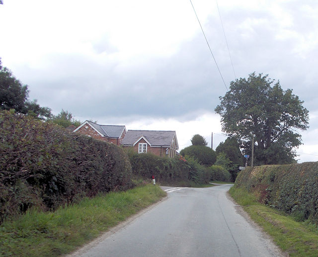
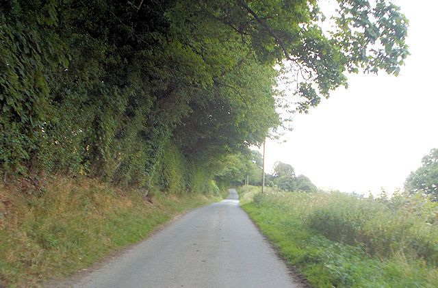
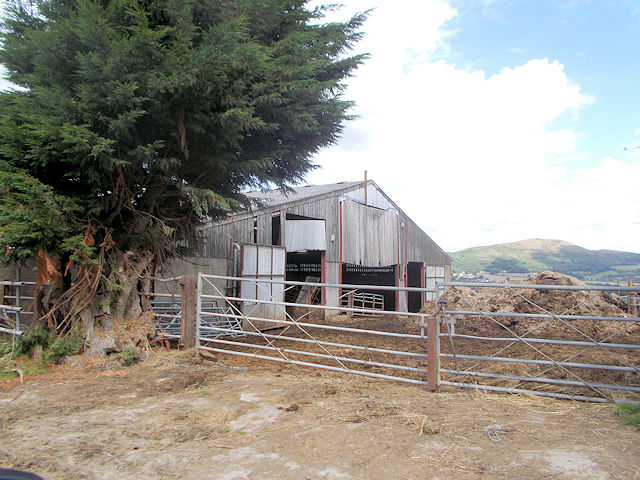
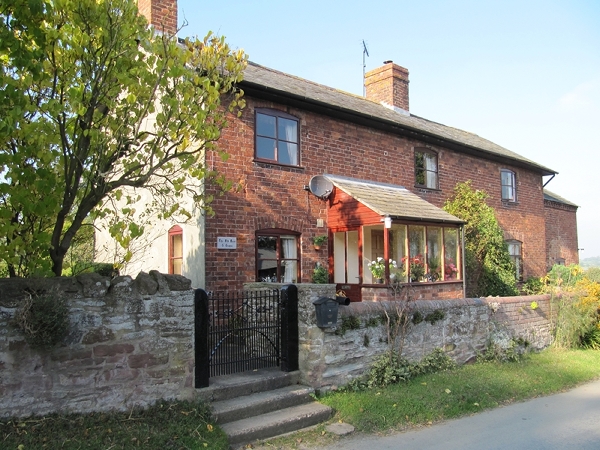
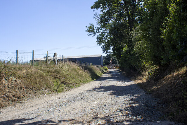
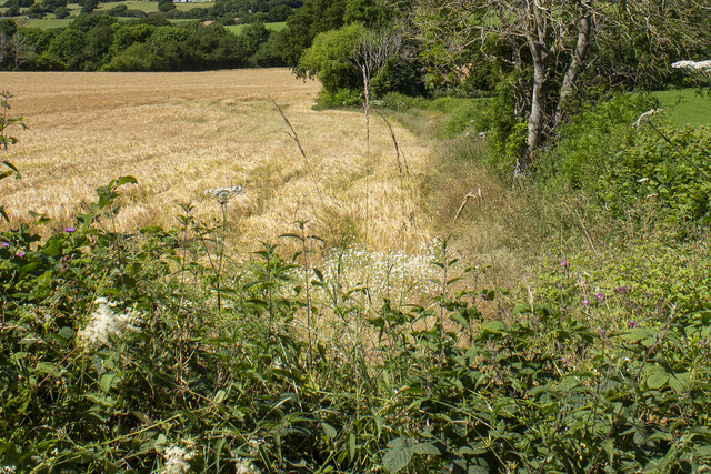
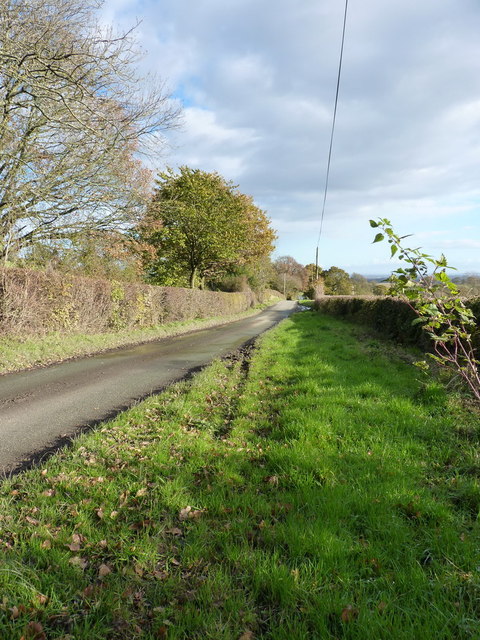
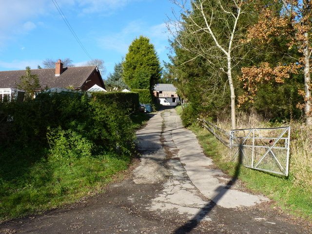
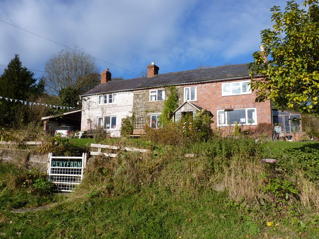
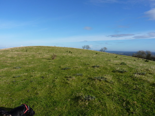
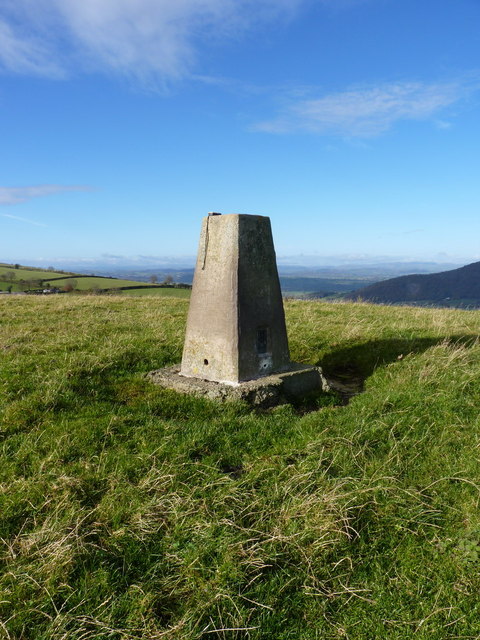
Cheshire's Wood Images

Images are sourced within 2km of 52.680566/-3.0179634 or Grid Reference SJ3109. Thanks to Geograph Open Source API. All images are credited.

Steplis on minor road
Steplis sign and entrance
Lane passing the old Rose and Crown
Road junction at Winnington
Straight road near Lower Trefnant
Barn at Trefnant Hall Farm
Entrance to Upper Trefnant
Bend through the woods near Upper Trefnant
Old Toll House, Winnington Green The Old Rose & Crown, site of a Toll Post by the C466W, in the parish of Westbury.

Shropshire HER (PRN): 15410 <span class="nowrap"><a title="https://www.heritagegateway.org.uk/Gateway/Results_Single.aspx?uid=MSA18344&resourceID=1015" rel="nofollow ugc noopener" href="https://www.heritagegateway.org.uk/Gateway/Results_Single.aspx?uid=MSA18344&resourceID=1015">Link</a><img style="margin-left:2px;" alt="External link" title="External link - shift click to open in new window" src="https://s1.geograph.org.uk/img/external.png" width="10" height="10"/></span>

To be surveyed

Milestone Society National ID: SA.WES
Old Toll House, Winnington Green
The Old Rose & Crown, site of a Toll Post by the C466W, in the parish of Westbury. Shropshire HER (PRN): 15410 LinkExternal link To be surveyed Milestone Society National ID: SA.WES
Upper Winnington Farm Modern farm building at Upper Winnington Farm
Upper Winnington Farm
Modern farm building at Upper Winnington Farm
Hedgerow and cereal field Hedgerow and cereal field near Lower Trefnant Farm
Hedgerow and cereal field
Hedgerow and cereal field near Lower Trefnant Farm
Roman Road on Hargrave Bank They knew how to build 'em straight, even in those days. The route across Long Mountain, of which this is just part, forms a beautiful clean line, absolutely typical of Roman roads.
Roman Road on Hargrave Bank
They knew how to build 'em straight, even in those days. The route across Long Mountain, of which this is just part, forms a beautiful clean line, absolutely typical of Roman roads.
Entrance to Mountain Farm
Penyfron cottages South-facing cottages beside the road across Hargrave Bank.
Penyfron cottages
South-facing cottages beside the road across Hargrave Bank.
Nearly at the top of Hargrave Bank A quick raid across the sheep fields, to visit the trig on Hargrave Bank. Daft Dog was securely attached to me.
Nearly at the top of Hargrave Bank
A quick raid across the sheep fields, to visit the trig on Hargrave Bank. Daft Dog was securely attached to me.
Hargrave Bank trig Trig point with flush bracket S4752 on a fine sunny autumn morning.
Hargrave Bank trig
Trig point with flush bracket S4752 on a fine sunny autumn morning.
Towards the Breidden Hills from Hargrave Bank trig
Ash trees and a country lane Looking up the road that crosses Long Mountain, and follows the line of the Roman road between Montgomery and Shrewsbury (and eventually on to Wroxeter)
Ash trees and a country lane
Looking up the road that crosses Long Mountain, and follows the line of the Roman road between Montgomery and Shrewsbury (and eventually on to Wroxeter)
Show me another place!

Cheshire's Wood is located at Grid Ref: SJ3109 (Lat: 52.680566, Lng: -3.0179634)

Unitary Authority: Shropshire

Police Authority: West Mercia

What 3 Words

///climbing.tripling.meaty. Near Westbury, Shropshire

Related Wikis

Breidden railway station

Breidden railway station was a station in Middletown, Powys, Wales. The station closed in 1960. There was a station house and two staggered platforms as...

Plas-y-Court Halt railway station

Plas-y-Court Halt railway station was a railway station to the west of Wollaston, Shropshire, England. The station opened in 1934 and closed in 1960...

Middletown, Powys

Middletown (Welsh: Treberfedd) is a hamlet in Powys, Wales near the border with England. It is situated on the A458 road, between the towns of Shrewsbury...

Wollaston, Shropshire

Wollaston is a small village and former civil parish, now in the parish of Alberbury with Cardeston, in the Shropshire district, in the ceremonial county...

Caus Castle

Caus Castle is a ruin of a hill fort and medieval castle in the civil parish of Westbury in the English county of Shropshire. It is situated up on the...

Halfway House, Shropshire

Halfway House is a village in Shropshire, England, halfway between Shrewsbury and Welshpool (in Wales) on the A458 road. Also, it is known to be halfway...

Westbury railway station (Shropshire)

Westbury railway station was a station in Westbury, Shropshire, England. The station was opened in 1862 by the Shrewsbury and Welshpool Railway company...

Trewern

Trewern is a small village, community and electoral ward in Montgomeryshire, Powys, Wales. The community includes the villages of Buttington and Middletown...

Nearby Amenities

Located within 500m of 52.680566,-3.0179634
Hargrave Bank
Ele: 324
Natural: peak
Lat/Long: 52.6789138/-3.0176075
Hargrave Bank
Description: OS trig pillar
Ele: 324.825
Man Made: survey_point
Ref: S4752
Source: Ordnance Survey and Trigpointing.uk
Survey Point: pillar
Tpuk Ref: TP3628
Lat/Long: 52.678924/-3.017541
The data included in this document is from www.openstreetmap.org. The data is made available under ODbL.

Have you been to Cheshire's Wood?

Leave your review of Cheshire's Wood below (or comments, questions and feedback).