Belmont Plantation

Wood, Forest in Somerset Somerset West and Taunton

England

Belmont Plantation

Direction Sign – Signpost on Station Road in Hatch Beauchamp Located on the east side of the junction of Station Road and Higher Street in Hatch Beauchamp parish. 2 arms, 1 worboys, and pyramid finial. An arm pointing to Parish Church was added above the existing arm between 2007 and 2012.

Milestone Society National ID: SO_ST3020C
Direction Sign – Signpost on Station Road in Hatch Beauchamp Credit: John V Nicholls

Belmont Plantation is a historic estate located in Somerset, England. Situated amidst a lush wood and forest area, the plantation covers a vast expanse of land, offering a serene and picturesque setting for visitors. Dating back to the 18th century, Belmont Plantation has a rich history and is known for its architectural beauty and well-maintained gardens.

The main house of Belmont Plantation is an impressive Georgian-style mansion, showcasing exquisite craftsmanship and elegant design. The mansion is surrounded by well-manicured lawns and gardens, providing a tranquil escape for guests. Visitors can take leisurely strolls through the grounds, enjoying the beauty of the surrounding woodlands and the peaceful atmosphere.

Belmont Plantation also features several outbuildings, including a charming coach house and a stable block, which have been restored to their original glory. These structures offer a glimpse into the estate's past and provide insight into the daily workings of the plantation.

In addition to its architectural and natural beauty, Belmont Plantation offers a range of activities for visitors. The estate includes a golf course, tennis courts, and a swimming pool, ensuring that guests have plenty of recreational options during their stay. The plantation also hosts events such as weddings and corporate gatherings, making it a popular destination for special occasions.

Overall, Belmont Plantation in Somerset is a captivating estate that combines history, natural beauty, and modern amenities. Whether exploring the grounds, admiring the architecture, or partaking in recreational activities, visitors are sure to be enchanted by this charming plantation.

If you have any feedback on the listing, please let us know in the comments section below.

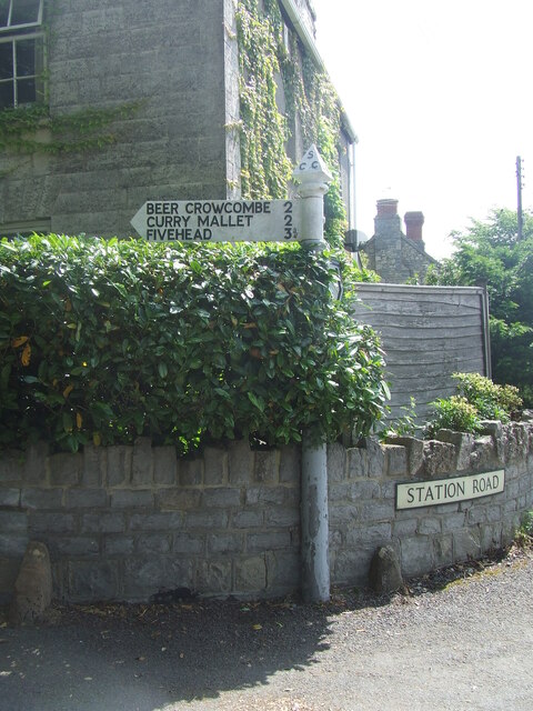
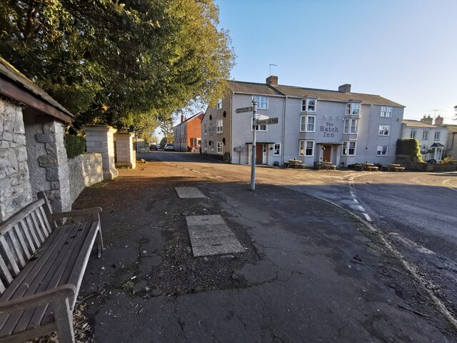
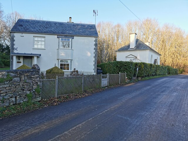
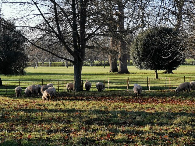
Belmont Plantation Images

Images are sourced within 2km of 50.985012/-2.9816205 or Grid Reference ST3121. Thanks to Geograph Open Source API. All images are credited.

Direction Sign – Signpost on Station Road in Hatch Beauchamp Located on the east side of the junction of Station Road and Higher Street in Hatch Beauchamp parish. 2 arms, 1 worboys, and pyramid finial. An arm pointing to Parish Church was added above the existing arm between 2007 and 2012.

Milestone Society National ID: SO_ST3020C
Direction Sign – Signpost on Station Road in Hatch Beauchamp
Located on the east side of the junction of Station Road and Higher Street in Hatch Beauchamp parish. 2 arms, 1 worboys, and pyramid finial. An arm pointing to Parish Church was added above the existing arm between 2007 and 2012. Milestone Society National ID: SO_ST3020C
Hatch Beauchamp : Village Road A road junction in the centre of the village with The Hatch Inn in the scene.
Hatch Beauchamp : Village Road
A road junction in the centre of the village with The Hatch Inn in the scene.
Hatch Beauchamp : Higher Road Looking along Higher Road and alongside Labumum Cottage.
Hatch Beauchamp : Higher Road
Looking along Higher Road and alongside Labumum Cottage.
Hatch Beauchamp : Hatch Court Park A track leads to the church.
Hatch Beauchamp : Hatch Court Park
A track leads to the church.
Hatch Beauchamp : Hatch Court Park Sheep in a field at Hatch Court Park.
Hatch Beauchamp : Hatch Court Park
Sheep in a field at Hatch Court Park.
Hatch Beauchamp : Hatch Court Built in about 1755 in the Palladian style with Bath Stone by the wool merchant John Collins to the design of Thomas Prowse. The site had been occupied since the mediaeval era by various forms of the manor house of the manor of Hatch, the caput of an important feudal barony first held by the Anglo-Norman de Beauchamp family in the 11th century
Hatch Beauchamp : Hatch Court
Built in about 1755 in the Palladian style with Bath Stone by the wool merchant John Collins to the design of Thomas Prowse. The site had been occupied since the mediaeval era by various forms of the manor house of the manor of Hatch, the caput of an important feudal barony first held by the Anglo-Norman de Beauchamp family in the 11th century
Hatch Beauchamp : Grassy Field Looking across a field.
Hatch Beauchamp : Grassy Field
Looking across a field.
Hatch Beauchamp : Frost Street Looking along Frost Street.
Hatch Beauchamp : Frost Street
Looking along Frost Street.
Hatch Beauchamp : Grassy Field A field beyond the open gates.
Hatch Beauchamp : Grassy Field
A field beyond the open gates.
Hatch Beauchamp : Grassy Field & Gate Looking beyond the gate and into the field.
Hatch Beauchamp : Grassy Field & Gate
Looking beyond the gate and into the field.
Curry Mallet : Grassy Field Looking across the field.
Curry Mallet : Grassy Field
Looking across the field.
Curry Mallet : Grassy Field Looking across the countryside.
Curry Mallet : Grassy Field
Looking across the countryside.
Curry Mallet : Countryside Scenery Looking towards Beercrocombe.
Curry Mallet : Countryside Scenery
Looking towards Beercrocombe.
Curry Mallet : Fieldgate Lane Looking along the country lane.
Curry Mallet : Fieldgate Lane
Looking along the country lane.
Curry Mallet : Silver Street Looking along Silver Street, passing Beer Cottage.
Curry Mallet : Silver Street
Looking along Silver Street, passing Beer Cottage.
Curry Mallet : Muddy Field A muddy field in the countryside.
Curry Mallet : Muddy Field
A muddy field in the countryside.
Curry Mallet : Beercrocombe Scenery Looking towards the village of Beer Crocombe. A helicopter hovers above, as it had done for more than an hour.
Curry Mallet : Beercrocombe Scenery
Looking towards the village of Beer Crocombe. A helicopter hovers above, as it had done for more than an hour.
Curry Mallet : Muddy Field Looking into a field.
Curry Mallet : Muddy Field
Looking into a field.
Show me another place!

Belmont Plantation is located at Grid Ref: ST3121 (Lat: 50.985012, Lng: -2.9816205)

Administrative County: Somerset

District: Somerset West and Taunton

Police Authority: Avon and Somerset

What 3 Words

///gobbles.samples.gifts. Near Creech St Michael, Somerset

Nearby Locations

Belmont Plantation

Related Wikis

Hatch Beauchamp

Hatch Beauchamp is a village and civil parish in Somerset, England, situated 5 miles (8.0 km) south east of Taunton. The village has a population of 620...

Beercrocombe

Beercrocombe (also known as Beer Crocombe) is a village and civil parish in Somerset, England, 1 mile (1.6 km) south of Curry Mallet and 7 miles (11.3...

Curry Mallet

Curry Mallet (anciently "Cory Mallett") is a village and parish in Somerset, England. It is on the Fivehead River (also known as the River Ile), 7 miles...

Church of St James, Beercrocombe

The Church of St James in Beercrocombe, Somerset, England, dates from the 13th century but the current building is predominantly from the 15th. It was...

Taunton Stop Line

The Taunton Stop Line was a World War II defensive line in southwest England. It was designed "to stop an enemy's advance from the west and in particular...

Church of St James, Curry Mallet

The Church of St James is a Church of England parish church in Curry Mallet, Somerset. It has 13th-century origins and has been designated as a Grade I...

West Hatch

West Hatch is a hamlet and civil parish in Somerset, England, situated 5 miles (8.0 km) south east of Taunton. It has a population of 306. == History... ==

Fivehead Woods and Meadow

Fivehead Woods and Meadow (grid reference ST331231) is a 62.4 hectare (154.2 acre) biological Site of Special Scientific Interest near the village of Fivehead...

Nearby Amenities

Located within 500m of 50.985012,-2.9816205
Give Way
Lat/Long: 50.9831925/-2.984945
Power: pole
Source: bing
Lat/Long: 50.9813997/-2.9848936
Power: pole
Source: bing
Lat/Long: 50.9815736/-2.9830161
Power: pole
Source: bing
Lat/Long: 50.9817458/-2.9810929
Power: pole
Source: bing
Lat/Long: 50.9819113/-2.9791752
Power: pole
Source: bing
Lat/Long: 50.9820768/-2.9772493
The data included in this document is from www.openstreetmap.org. The data is made available under ODbL.

Have you been to Belmont Plantation?

Leave your review of Belmont Plantation below (or comments, questions and feedback).