Osbaston Wood
Wood, Forest in Shropshire
England
Osbaston Wood

Osbaston Wood is a picturesque woodland located in the county of Shropshire, England. It lies near the village of Osbaston, approximately 5 miles southwest of the town of Market Drayton. Covering an area of around 50 acres, the wood is a popular destination for nature enthusiasts and those seeking tranquility amidst the beauty of nature.
The woodland is predominantly made up of diverse tree species, including oak, beech, ash, and birch. The dense canopy of these trees creates a shaded and cool environment, perfect for exploring on hot summer days. The forest floor is carpeted with a variety of wildflowers, ferns, and mosses, adding to the enchanting ambiance of the wood.
Osbaston Wood is home to a rich array of wildlife. Birdwatchers can spot a variety of species, such as woodpeckers, owls, and various songbirds. Small mammals, including rabbits, squirrels, and foxes, can also be seen darting through the undergrowth. The wood is particularly known for its population of butterflies and insects, making it an ideal destination for those interested in macro photography.
Several footpaths wind through the wood, offering visitors the opportunity to explore and discover its hidden treasures. A small stream meanders through the woodland, providing a serene backdrop to the sounds of nature. The wood also contains a picnic area, allowing visitors to enjoy a leisurely lunch surrounded by the sights and sounds of this peaceful haven.
Overall, Osbaston Wood in Shropshire is a tranquil and captivating forest, offering visitors the chance to immerse themselves in the beauty of nature and experience the wonders of the British countryside.
If you have any feedback on the listing, please let us know in the comments section below.
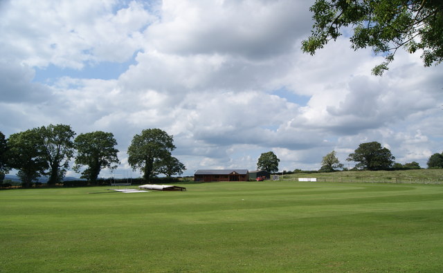
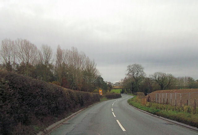
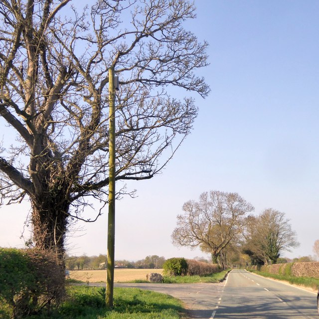
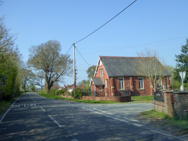
Osbaston Wood Images
Images are sourced within 2km of 52.794524/-3.02611 or Grid Reference SJ3022. Thanks to Geograph Open Source API. All images are credited.


Osbaston Wood is located at Grid Ref: SJ3022 (Lat: 52.794524, Lng: -3.02611)
Unitary Authority: Shropshire
Police Authority: West Mercia
What 3 Words
///eggshell.recoup.pure. Near Pant, Shropshire
Nearby Locations
Related Wikis
Maesbrook
Maesbrook is a village in Shropshire, England. Maesbury and Maesbury Marsh are about a mile north of Maesbrook. Pant is also nearby, just north of Llanymynech...
Osbaston, Oswestry
Osbaston is a small village in the English county of Shropshire. Osbaston lies on the B4396 road some five miles to the south of Oswestry. The population...

Maesbrook railway station
Maesbrook railway station was a station in Maesbrook, Shropshire, England. The station was opened in 1866 and closed in 1933. == References == == Further... ==
Wern Las railway station
Wern Las railway station was a station to the west of Kinnerley, Shropshire, England. The station was opened in 1919 and closed in 1933. == References... ==
Nearby Amenities
Located within 500m of 52.794524,-3.02611Have you been to Osbaston Wood?
Leave your review of Osbaston Wood below (or comments, questions and feedback).