Park End Wood

Wood, Forest in Lancashire South Lakeland

England

Park End Wood

Wide valley of the River Crake
Wide valley of the River Crake Credit: Eirian Evans

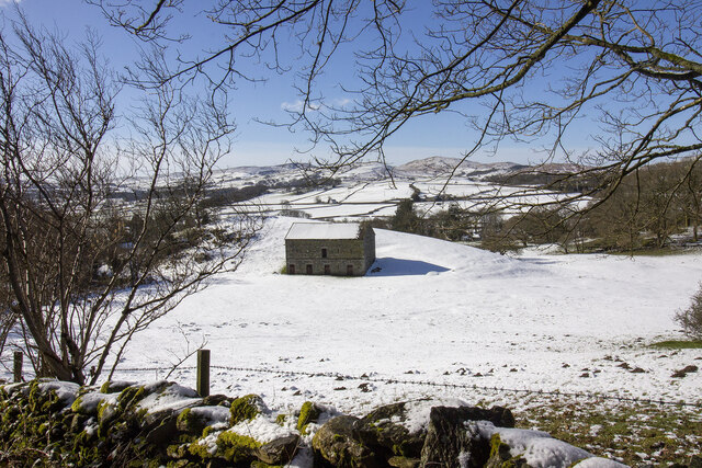
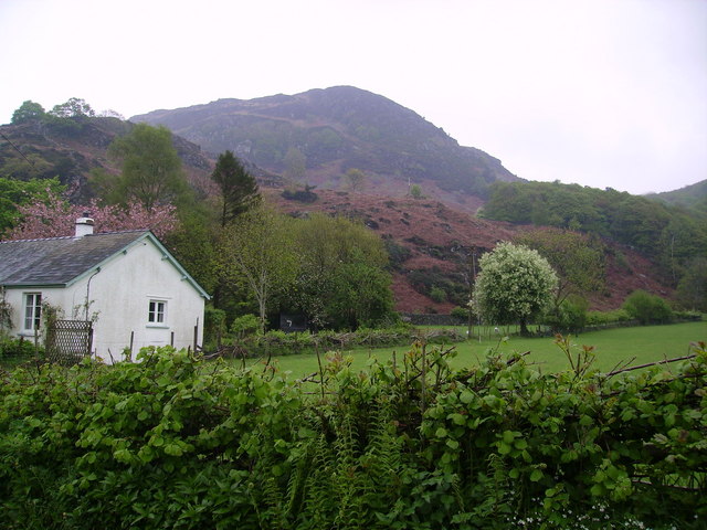
Park End Wood is a picturesque woodland located in the county of Lancashire, England. Covering an area of approximately 150 acres, it is a well-preserved example of a deciduous forest. The wood is situated near the town of Oswaldtwistle, within the larger Hyndburn district.

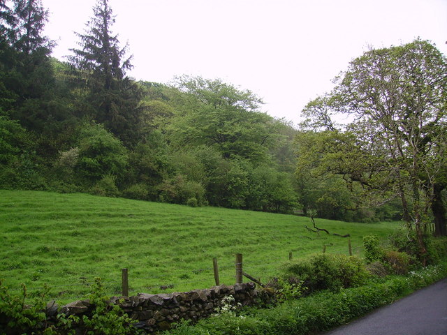
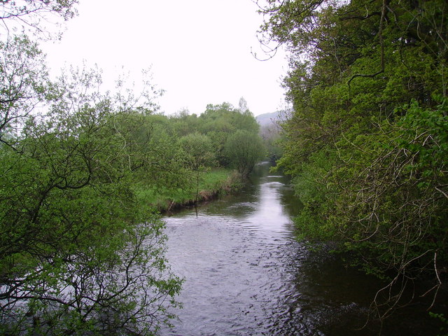
Park End Wood boasts a rich diversity of tree species, including oak, beech, birch, and ash. These towering trees create a dense canopy, providing a haven for various wildlife species. The forest floor is blanketed with an array of wildflowers, ferns, and mosses, adding to its natural charm.

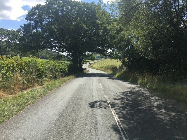
The woodland is crisscrossed by a network of well-maintained footpaths, allowing visitors to explore and appreciate its beauty. These paths lead visitors through different sections of the wood, each offering a unique experience. From peaceful meandering trails to more challenging paths, there is something for every nature enthusiast.

The wood is also home to a variety of wildlife, including birds, mammals, and insects. Birdwatchers can spot species such as woodpeckers, owls, and various songbirds. Squirrels, rabbits, and foxes are often sighted, adding to the enchanting atmosphere of the wood.

Park End Wood is a popular destination for outdoor activities such as walking, jogging, and picnicking. It offers a serene escape from the hustle and bustle of urban life, allowing visitors to connect with nature and enjoy the tranquility of the forest.

Overall, Park End Wood is an idyllic woodland in Lancashire, providing a haven for flora and fauna and offering visitors a chance to immerse themselves in nature's beauty.

If you have any feedback on the listing, please let us know in the comments section below.

Park End Wood Images

Images are sourced within 2km of 54.283764/-3.064652 or Grid Reference SD3088. Thanks to Geograph Open Source API. All images are credited.

Wide valley of the River Crake
Former Blawith church Formerly this was the Church of St John the Baptist but it became redundant in 1988 and was sold to be converted in 2012
Former Blawith church
Formerly this was the Church of St John the Baptist but it became redundant in 1988 and was sold to be converted in 2012
A5084 in the Crake Valley
New Barn
New Barn
Towers Wood In the Crake Valley
Towers Wood
In the Crake Valley
Brock Barrow From High Nibthwaite. Small Crag on the edge of Bethecar Moor
Brock Barrow
From High Nibthwaite. Small Crag on the edge of Bethecar Moor
River Crake at Bouthray Bridge Runs from Coniston Water.
River Crake at Bouthray Bridge
Runs from Coniston Water.
Cairn on Brock Barrow The best cairn on the smallest hill. Wainwright describes this hill as 'nameless'
Cairn on Brock Barrow
The best cairn on the smallest hill. Wainwright describes this hill as 'nameless'
Little Grey Fergie at Blawith Britain's best loved tractor parked outside of cottage on the edge of the village.
In 1947 the "Little Grey Fergie" went into full scale production at Banner Lane Coventry and it was an instant success.
Little Grey Fergie at Blawith
Britain's best loved tractor parked outside of cottage on the edge of the village. In 1947 the "Little Grey Fergie" went into full scale production at Banner Lane Coventry and it was an instant success.
Lych gate, The Church of St John the Baptist Many churches have a lych gate built over the main entrance to the enclosed area round the church. The name, also spelt lich or lytch, is from the Anglo Saxon 'lich' meaning corpse. The gate marks the division between consecrated and unconsecrated ground, where the bearers sheltered with the coffin, waiting for the clergyman to lead the procession before the burial. The original lych gates had seats, a lych cross and a lych stone - a slab on which the coffin rested.
Lych gate, The Church of St John the Baptist
Many churches have a lych gate built over the main entrance to the enclosed area round the church. The name, also spelt lich or lytch, is from the Anglo Saxon 'lich' meaning corpse. The gate marks the division between consecrated and unconsecrated ground, where the bearers sheltered with the coffin, waiting for the clergyman to lead the procession before the burial. The original lych gates had seats, a lych cross and a lych stone - a slab on which the coffin rested.
Churchyard, The Church of St John the Baptist Among the gravestones are masses of purple crocuses.
Churchyard, The Church of St John the Baptist
Among the gravestones are masses of purple crocuses.
Churchyard, The Church of St John the Baptist Crocuses in abundance are found among the gravestones within the churchyard.
Churchyard, The Church of St John the Baptist
Crocuses in abundance are found among the gravestones within the churchyard.
The Church of St John the Baptist, Blawith The church dates from 1862-63 and was built to the designs of E G Paley.  It is built of Whinstone and is in the care of the Churches Conservation Trust.
The Church of St John the Baptist, Blawith
The church dates from 1862-63 and was built to the designs of E G Paley. It is built of Whinstone and is in the care of the Churches Conservation Trust.
The Church of St John the Baptist, Blawith The church dates from 1862-63 and was built to the designs of E G Paley. It is built of Whinstone and is in the care of the Churches Conservation Trust.
The Church of St John the Baptist, Blawith
The church dates from 1862-63 and was built to the designs of E G Paley. It is built of Whinstone and is in the care of the Churches Conservation Trust.
Cairn on Brock Barrow
St John the Baptist, Blawith Now under the care of The Churches Conservation Trust, well it is at the moment because it is up for sale when I took the photo.
St John the Baptist, Blawith
Now under the care of The Churches Conservation Trust, well it is at the moment because it is up for sale when I took the photo.
St John the Baptist, Blawith, Lych gate
St John the Baptist, Blawith, sign After it's been sold, are the new owners going to look after it?
St John the Baptist, Blawith, sign
After it's been sold, are the new owners going to look after it?
Show me another place!

Park End Wood is located at Grid Ref: SD3088 (Lat: 54.283764, Lng: -3.064652)

Administrative County: Cumbria

District: South Lakeland

Police Authority: Cumbria

What 3 Words

///trinkets.documents.acrobat. Near Ulverston, Cumbria

Related Wikis

North Lonsdale Rural District

North Lonsdale was a rural district in the county of Lancashire, England from 1894 to 1974. It was created in 1894 as the Ulverston Rural District, and...

Bandrake Head

Bandrake Head is a village in Cumbria, England. == External links == Media related to Bandrake Head at Wikimedia Commons

Oxen Park

Oxen Park is a hamlet in the English county of Cumbria. Oxen Park lies on the watershed between Rusland and Colton Beck valleys in South Lakeland, and...

St John the Baptist's Church, Blawith

St John the Baptist's Church is a redundant Anglican church in the settlement of Blawith, Cumbria, England. It is located to the east of the A5084 road...

Blawith and Subberthwaite

Blawith and Subberthwaite is a civil parish in the South Lakeland district of Cumbria, England. It is situated in the Lake District National Park, and...

Lowick, Cumbria

Lowick is a village and civil parish in the South Lakeland district of the English county of Cumbria. Prior to 1 April 1974 it was part of Lancashire,...

Colton, Cumbria

Colton is a village and civil parish in the South Lakeland district of Cumbria, England. In the 2001 census the parish had a population of 765, decreasing...

Nibthwaite

Nibthwaite is a village in the South Lakeland District in the county of Cumbria in the northwest of England. It is in the civil parish of Colton, and on...

Nearby Amenities

Located within 500m of 54.283764,-3.064652
Ford: yes
Lat/Long: 54.2868756/-3.0678609
Ford: yes
Lat/Long: 54.2861975/-3.0653416
Power: pole
Lat/Long: 54.2813737/-3.0582164
Power: pole
Lat/Long: 54.2821605/-3.0579669
Power: pole
Lat/Long: 54.283104/-3.0575913
Power: pole
Lat/Long: 54.2837465/-3.0573394
The data included in this document is from www.openstreetmap.org. The data is made available under ODbL.

Have you been to Park End Wood?

Leave your review of Park End Wood below (or comments, questions and feedback).