Colton
Civil Parish in Lancashire South Lakeland
England
Colton

Colton is a civil parish located in the county of Lancashire, in the northwest of England. It is a small rural area situated in the district of South Lakeland, near the border with the county of Cumbria. The parish covers an area of approximately 8 square kilometers and has a population of around 200 people, according to the latest available census data.
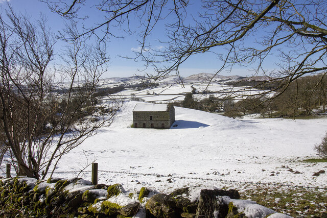
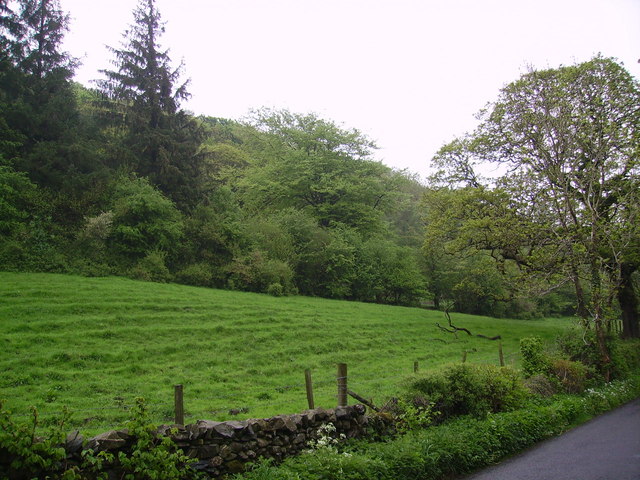
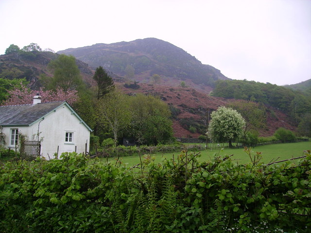
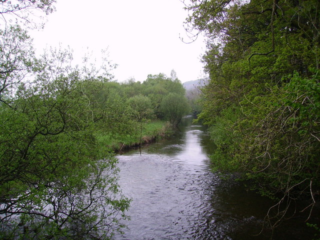
The village of Colton is the main settlement within the parish, and it is surrounded by picturesque countryside, with rolling hills and green fields. The area is known for its natural beauty, attracting visitors who enjoy outdoor activities such as hiking and cycling. Colton is also in close proximity to the Lake District National Park, a popular tourist destination renowned for its stunning landscapes and lakes.
In terms of amenities, Colton has a few local facilities to cater to the needs of its residents. These include a village hall, a primary school, and a church. The village hall is a community hub and is used for various events and gatherings throughout the year.
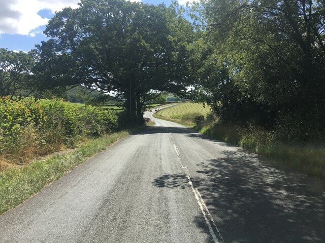
Transport links to Colton are relatively limited, with the nearest train station located in the nearby town of Ulverston, approximately 10 kilometers away. However, the village is accessible by road, with the A590 passing nearby, providing connections to larger towns and cities in the region.
Overall, Colton is a small, idyllic village in Lancashire, offering a peaceful and picturesque setting for its residents and visitors alike.
If you have any feedback on the listing, please let us know in the comments section below.
Colton Images
Images are sourced within 2km of 54.285332/-3.063333 or Grid Reference SD3088. Thanks to Geograph Open Source API. All images are credited.


Colton is located at Grid Ref: SD3088 (Lat: 54.285332, Lng: -3.063333)
Administrative County: Cumbria
District: South Lakeland
Police Authority: Cumbria
What 3 Words
///aunts.enigma.unloads. Near Ulverston, Cumbria
Nearby Locations
Related Wikis

North Lonsdale Rural District
North Lonsdale was a rural district in the county of Lancashire, England from 1894 to 1974. It was created in 1894 as the Ulverston Rural District, and...

Bandrake Head
Bandrake Head is a village in Cumbria, England. == External links == Media related to Bandrake Head at Wikimedia Commons

Oxen Park
Oxen Park is a hamlet in the English county of Cumbria. Oxen Park lies on the watershed between Rusland and Colton Beck valleys in South Lakeland, and...

St John the Baptist's Church, Blawith
St John the Baptist's Church is a redundant Anglican church in the settlement of Blawith, Cumbria, England. It is located to the east of the A5084 road...

Blawith and Subberthwaite
Blawith and Subberthwaite is a civil parish in the South Lakeland district of Cumbria, England. It is situated in the Lake District National Park, and...

Nibthwaite
Nibthwaite is a village in the South Lakeland District in the county of Cumbria in the northwest of England. It is in the civil parish of Colton, and on...

Colton, Cumbria
Colton is a village and civil parish in the South Lakeland district of Cumbria, England. In the 2001 census the parish had a population of 765, decreasing...

Lowick, Cumbria
Lowick is a village and civil parish in the South Lakeland district of the English county of Cumbria. Prior to 1 April 1974 it was part of Lancashire,...
Nearby Amenities
Located within 500m of 54.285332,-3.063333Have you been to Colton?
Leave your review of Colton below (or comments, questions and feedback).