Beech Grove
Wood, Forest in Cumberland Allerdale
England
Beech Grove

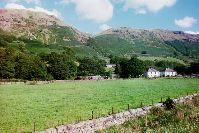
Beech Grove is a small neighborhood located in Cumberland, a town in Wood County, Indiana. Situated in the heart of a dense forest, this tranquil community offers residents a peaceful and idyllic setting. It is known for its abundant beech trees, which lend the neighborhood its name and contribute to its natural beauty.
The area is primarily residential, with charming houses and well-maintained gardens dotting the landscape. The neighborhood is home to a close-knit and friendly community, where neighbors often gather for social events and activities. The peaceful atmosphere and sense of community make Beech Grove an attractive place to live for families, young professionals, and retirees alike.
Beech Grove is surrounded by a vast forest, providing residents with ample opportunities for outdoor recreation and exploration. The dense woodland offers numerous trails for hiking, biking, and birdwatching, making it a haven for nature enthusiasts. Additionally, the neighborhood is located near several lakes and rivers, allowing residents to enjoy fishing, boating, and other water activities.
Despite its secluded and serene ambiance, Beech Grove is conveniently located close to amenities and services. The town of Cumberland is just a short drive away, providing residents with access to grocery stores, restaurants, and other essential facilities. Additionally, the larger city of Wood is within a reasonable distance, offering a wider range of shopping, dining, and entertainment options.
In summary, Beech Grove is a charming and peaceful neighborhood nestled in the forested landscape of Cumberland, Wood County. With its abundant natural beauty, friendly community, and proximity to amenities, it is a wonderful place to call home for those seeking a tranquil and nature-filled lifestyle.
If you have any feedback on the listing, please let us know in the comments section below.
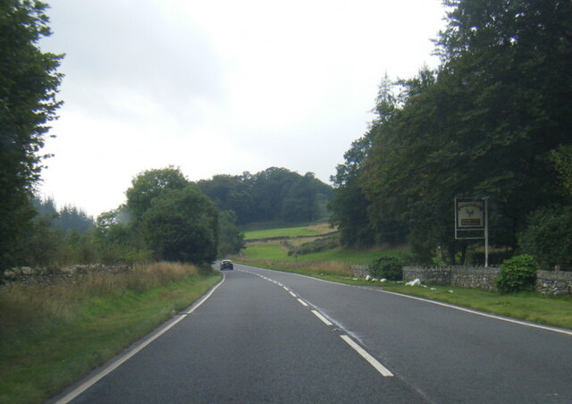
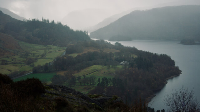
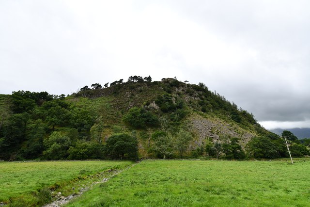
Beech Grove Images
Images are sourced within 2km of 54.554501/-3.0730852 or Grid Reference NY3018. Thanks to Geograph Open Source API. All images are credited.


Beech Grove is located at Grid Ref: NY3018 (Lat: 54.554501, Lng: -3.0730852)
Administrative County: Cumbria
District: Allerdale
Police Authority: Cumbria
What 3 Words
///tailors.proved.debater. Near Keswick, Cumbria
Nearby Locations
Related Wikis

Raven Crag
Raven Crag is a fell in the English Lake District that overlooks Thirlmere reservoir. It has subsidiary summits The Benn and Castle Crag. == Topography... ==
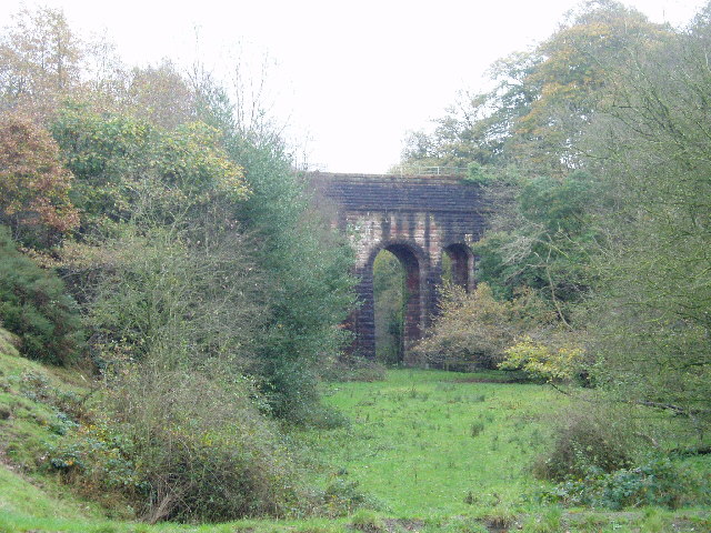
Thirlmere Aqueduct
The Thirlmere Aqueduct is a 95.9-mile-long (154.3-kilometre-long) pioneering section of water supply system in England, built by the Manchester Corporation...
Legburthwaite
Legburthwaite is a village in the Allerdale district, in the county of Cumbria. It is located on the A591 road and the B5322 road. Legburthwaite has a...

High Seat (Lake District)
High Seat is a fell in the centre of the English Lake District. Despite being below 2,000 ft it is the highest point for about 5 miles (8 km) in any direction...
Nearby Amenities
Located within 500m of 54.554501,-3.0730852Have you been to Beech Grove?
Leave your review of Beech Grove below (or comments, questions and feedback).