Back Guards Plantation

Wood, Forest in Lancashire South Lakeland

England

Back Guards Plantation

Roughly grassed field at Dixon Ground Dixon Ground is an area of land lying west of Coniston. The view here is from the publicly accessible part of the Walna Scar Road which has risen from the village.
The steep, broken slope beyond lies across Church Beck and rises ultimately to Wetherlam.
Roughly grassed field at Dixon Ground Credit: Trevor Littlewood

Back Guards Plantation is a sprawling forested area located in Lancashire, England. Covering a vast expanse, the plantation is renowned for its dense woodlands and rich biodiversity. This natural haven is situated in close proximity to the town of Back Guards, giving it its name.

The plantation is characterized by a variety of tree species, including oak, beech, and pine, which dominate the landscape and provide a sheltered habitat for numerous wildlife species. The forest floor is adorned with a lush carpet of ferns, mosses, and wildflowers, adding to its picturesque beauty.

As a protected area, Back Guards Plantation is home to a diverse range of animals. Visitors may spot native species such as red deer, foxes, badgers, and voles roaming freely in their natural habitat. Birdwatchers will also delight in the presence of numerous avian species, including woodpeckers, owls, and various songbirds.

The plantation offers a network of well-maintained walking trails, inviting nature enthusiasts to explore its hidden treasures. These trails wind through the enchanting woodland, leading visitors to scenic viewpoints and tranquil spots, perfect for picnics or simply immersing oneself in the serenity of nature.

Back Guards Plantation serves as an important ecological resource, contributing to the preservation of Lancashire's natural heritage. Its protection and conservation efforts are overseen by local authorities, ensuring the sustainable management of this precious woodland.

In conclusion, Back Guards Plantation is a captivating woodland retreat in Lancashire, offering visitors an opportunity to connect with nature while enjoying the splendor of its diverse flora and fauna.

If you have any feedback on the listing, please let us know in the comments section below.

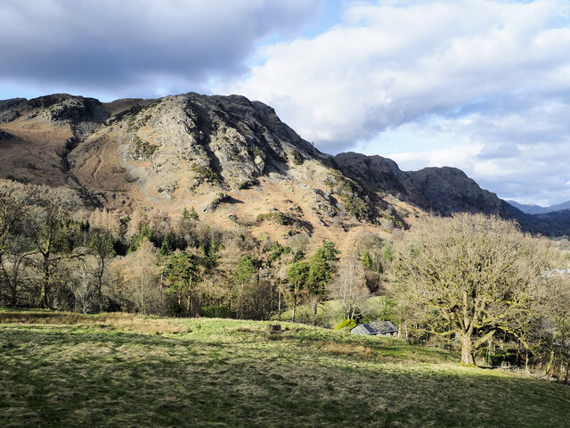
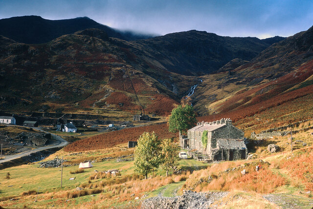
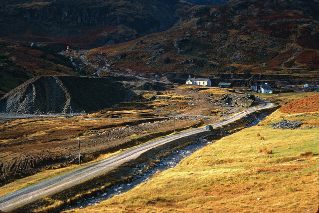
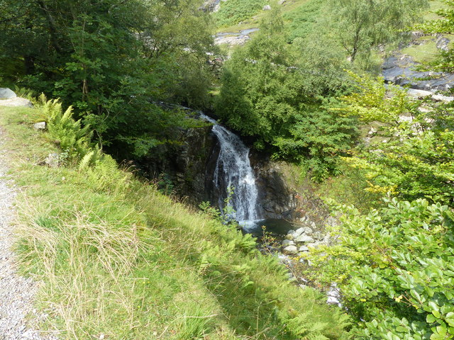
Back Guards Plantation Images

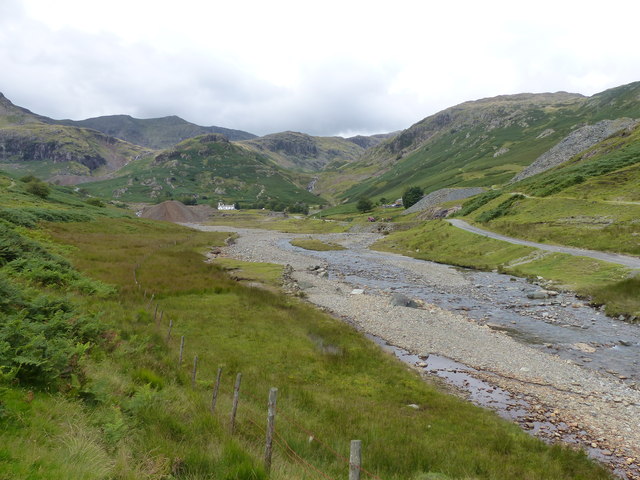
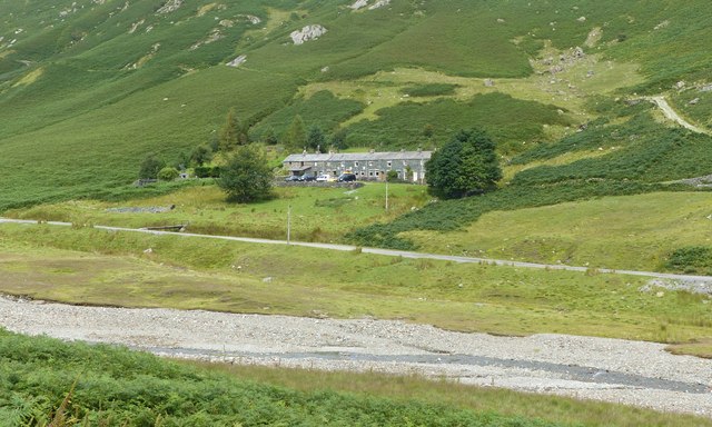
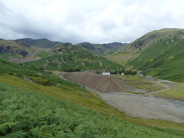
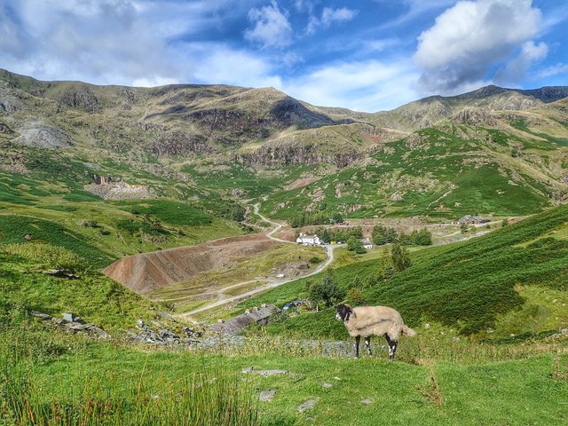
Images are sourced within 2km of 54.376017/-3.0682853 or Grid Reference SD3098. Thanks to Geograph Open Source API. All images are credited.

Roughly grassed field at Dixon Ground Dixon Ground is an area of land lying west of Coniston. The view here is from the publicly accessible part of the Walna Scar Road which has risen from the village.
The steep, broken slope beyond lies across Church Beck and rises ultimately to Wetherlam.
Roughly grassed field at Dixon Ground
Dixon Ground is an area of land lying west of Coniston. The view here is from the publicly accessible part of the Walna Scar Road which has risen from the village. The steep, broken slope beyond lies across Church Beck and rises ultimately to Wetherlam.
Irish Cottages, Coppermines Valley Irish Cottages in the valley of Church Beck is a terrace of houses above Coniston; two of them together form a climbing hut of the Yorkshire Mountaineering Club. The gravel flats through the centre of the image are where the Church Beck flows and winds.
Irish Cottages, Coppermines Valley
Irish Cottages in the valley of Church Beck is a terrace of houses above Coniston; two of them together form a climbing hut of the Yorkshire Mountaineering Club. The gravel flats through the centre of the image are where the Church Beck flows and winds.
Road heading for Coppermines Valley The valley is actually that of Church Beck but is popularly known as the Coppermines Valley because of the extensive disused mine workings there. The road is private but is used to access accommodation in the valley including houses, a youth hostel and two climbing club huts. The road is also a public footpath.
Coniston Old Man is the mountain seen against the sky.
Road heading for Coppermines Valley
The valley is actually that of Church Beck but is popularly known as the Coppermines Valley because of the extensive disused mine workings there. The road is private but is used to access accommodation in the valley including houses, a youth hostel and two climbing club huts. The road is also a public footpath. Coniston Old Man is the mountain seen against the sky.
Slope with minor rock outcrops The near slope is close to the feature named on OS maps as Flat Bield and is separated from the camera location by a steep stream groove. The valley beyond it is Red Dell.
The sunlit rockface at the centre of the image and beyond Red Dell is Kennel Crag, sometimes known as Kernel Crag.
Slope with minor rock outcrops
The near slope is close to the feature named on OS maps as Flat Bield and is separated from the camera location by a steep stream groove. The valley beyond it is Red Dell. The sunlit rockface at the centre of the image and beyond Red Dell is Kennel Crag, sometimes known as Kernel Crag.
Settling tanks at Bonsor upper mill The series of shallow depressions near to the Coppermines Youth Hostel is named as 'tanks' in the 1969 volume, 'Industrial Archaeology of the Lake Counties' - Marshall & Davies-Shiel. It's supposed that they were settling tanks in which small particles of rock etc. would be allowed to fall to the bottom before the then clearer water would be allowed to flow down to Coniston in the valley below.
Settling tanks at Bonsor upper mill
The series of shallow depressions near to the Coppermines Youth Hostel is named as 'tanks' in the 1969 volume, 'Industrial Archaeology of the Lake Counties' - Marshall & Davies-Shiel. It's supposed that they were settling tanks in which small particles of rock etc. would be allowed to fall to the bottom before the then clearer water would be allowed to flow down to Coniston in the valley below.
Coppermines Cottage In the past, when copper was being mined, the cottage was occupied by a mine official, presumably the site manager. In 1958 it was acquired by the Barrow Mountaineering and Ski Club which still uses it as a club hut.
Coppermines Cottage
In the past, when copper was being mined, the cottage was occupied by a mine official, presumably the site manager. In 1958 it was acquired by the Barrow Mountaineering and Ski Club which still uses it as a club hut.
Minor road near Coniston
Irish Cottages, Coppermine Valley In 2022, the foreground buildings, Irish Cottages,  were the property of the Yorkshire Mountaineering Club. I am unsure of their status in January 1973 when this image was taken. Mine workings can be seen in the background.
Irish Cottages, Coppermine Valley
In 2022, the foreground buildings, Irish Cottages, were the property of the Yorkshire Mountaineering Club. I am unsure of their status in January 1973 when this image was taken. Mine workings can be seen in the background.
The head of Coppermine Valley, Coniston In January 1973 the white building was the Youth Hostel.  A track continues beyond here into the Coniston Fells.
The head of Coppermine Valley, Coniston
In January 1973 the white building was the Youth Hostel. A track continues beyond here into the Coniston Fells.
Bowmanstead
Bowmanstead
Waterfall on Church Beck
Coppermines Valley, Coniston
Irish Row, Coppermines Valley
Coppermines Valley, Coniston
Coppermines Valley
Coppermines Valley
Towards Levers Water A puddle on the main path down The Old Man of Coniston, with the outlet from Levers Water in the background.
Towards Levers Water
A puddle on the main path down The Old Man of Coniston, with the outlet from Levers Water in the background.
Towards Levers Water Sheep grazing near the main path down The Old Man of Coniston, with the outlet from Levers Water in the background.
Towards Levers Water
Sheep grazing near the main path down The Old Man of Coniston, with the outlet from Levers Water in the background.
Coppermines Youth Hostel Looking across Levers Water Beck towards Coppermines Youth Hostel.
Coppermines Youth Hostel
Looking across Levers Water Beck towards Coppermines Youth Hostel.
Show me another place!

Back Guards Plantation is located at Grid Ref: SD3098 (Lat: 54.376017, Lng: -3.0682853)

Administrative County: Cumbria

District: South Lakeland

Police Authority: Cumbria

What 3 Words

///jumpy.victor.interrupt. Near Ambleside, Cumbria

Related Wikis

Ruskin Museum

The Ruskin Museum is a small local museum in Coniston, Cumbria, northern England. It was established in 1901 by W. G. Collingwood, an artist and antiquarian...

Coniston, Cumbria

Coniston is a village and civil parish in the Westmorland and Furness district of Cumbria, England. In the 2001 census the parish had a population of 1...

John Ruskin School

John Ruskin School (JRS) is an 11–16 school on Lake Road in Coniston, Cumbria. The school is part of the Rural Academy, a group of nine small schools in...

Coniston railway station (England)

Coniston railway station was the northern terminus of the Coniston branch line in the village of Coniston, Lancashire, England (now in Cumbria). ��2�...

Nearby Amenities

Located within 500m of 54.376017,-3.0682853
Bus Stop
Holly How Youth Hostel
Bench: no
Local Ref: AT
Naptan AtcoCode: 090079154222
Naptan Bearing: S
Naptan CommonName: Holly Howe Youth Hostel
Naptan Indicator: at
Naptan Landmark: Crossroads
Naptan NaptanCode: cumdpwgw
Naptan Street: Barratt Croft
Naptan Verified: no
Shelter: no
Source: naptan_import
Lat/Long: 54.3728318/-3.0732107
Ford: yes
Lat/Long: 54.3768835/-3.0712693
Barrier: kissing_gate
Lat/Long: 54.3755263/-3.0668722
Give Way
Lat/Long: 54.3728195/-3.0730993
Ford: yes
Lat/Long: 54.380113/-3.0675851
Monk Coniston & The Marshalls
Information: board
Tourism: information
Lat/Long: 54.3728999/-3.070006
In The Dog House
Information: board
Tourism: information
Lat/Long: 54.3729019/-3.0699677
Barrier: kissing_gate
Source: survey;gps
Lat/Long: 54.3728982/-3.0701675
Quarry Guards Plantation
Natural: wood
Lat/Long: 54.3759997/-3.0635542
Guards Wood
Natural: wood
Lat/Long: 54.3741499/-3.0623955
Fore Guards Plantation
Natural: wood
Lat/Long: 54.37255/-3.066172
High Guards Wood
Natural: wood
Lat/Long: 54.3741374/-3.0648846
Hiking: yes
Information: guidepost
Source: GPS Survey
Tourism: information
Lat/Long: 54.3745912/-3.0681789
The data included in this document is from www.openstreetmap.org. The data is made available under ODbL.

Have you been to Back Guards Plantation?

Leave your review of Back Guards Plantation below (or comments, questions and feedback).