Bank Wood

Wood, Forest in Cumberland Allerdale

England

Bank Wood

Old Milestone by the A596 at Micklethwaite Metal plate attached to stone post by the A596, in parish of THURSBY (ALLERDALE District), 50m West of Micklethwaite Farm, North East of Micklethwaite, in verge, on North side of road. Carlisle red stone and curved plate, erected by the Cockermouth & Carlisle turnpike trust in the 19th century. 

Inscription reads:-
CARLISLE
9 MILES
WIGTON
2 MILE
COCKERMOUTH
17½ MILES 
Carved benchmark.

Grade II Listed. List Entry Number: 1144641
<span class="nowrap"><a title="https://historicengland.org.uk/listing/the-list/list-entry/1144641" rel="nofollow ugc noopener" href="https://historicengland.org.uk/listing/the-list/list-entry/1144641">Link</a><img style="margin-left:2px;" alt="External link" title="External link - shift click to open in new window" src="https://s1.geograph.org.uk/img/external.png" width="10" height="10"/></span>

Milestone Society National ID: CU_CLCMa09.
Old Milestone by the A596 at Micklethwaite Credit: Barbara Todd

Bank Wood is a picturesque forest located in the county of Cumberland, England. Situated in the northern part of the Lake District National Park, it covers an area of approximately 100 hectares and is renowned for its natural beauty and diverse wildlife.

The woodland is predominantly composed of broadleaf trees, including oak, beech, and birch, which create a dense and enchanting canopy. The forest floor is covered in a rich carpet of mosses, ferns, and wildflowers, making it a haven for various plant species. In the spring, the woodland bursts into life with a vibrant display of bluebells, primroses, and wood anemones, creating a breathtaking sight for visitors.

Bank Wood is not only visually stunning but is also home to a wide range of fauna. The forest provides a habitat for various bird species, including woodpeckers, owls, and thrushes, which can be spotted and heard throughout the year. Mammals such as badgers, foxes, and deer also inhabit the woodland, adding to its natural diversity.

The forest is intersected by a network of walking trails, allowing visitors to explore its beauty at their own pace. These trails vary in difficulty and length, catering to both casual strollers and avid hikers. Along the way, visitors can enjoy breathtaking views of the surrounding countryside and may even encounter some of the forest's resident wildlife.

Bank Wood is a popular destination for nature lovers, photographers, and those seeking a peaceful retreat in the heart of nature. With its serene atmosphere, stunning scenery, and abundant wildlife, it offers a wonderful experience for anyone wishing to immerse themselves in the beauty of Cumberland's woodlands.

If you have any feedback on the listing, please let us know in the comments section below.
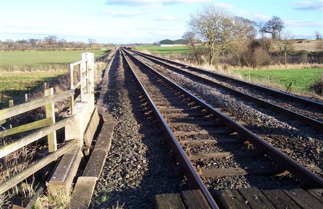
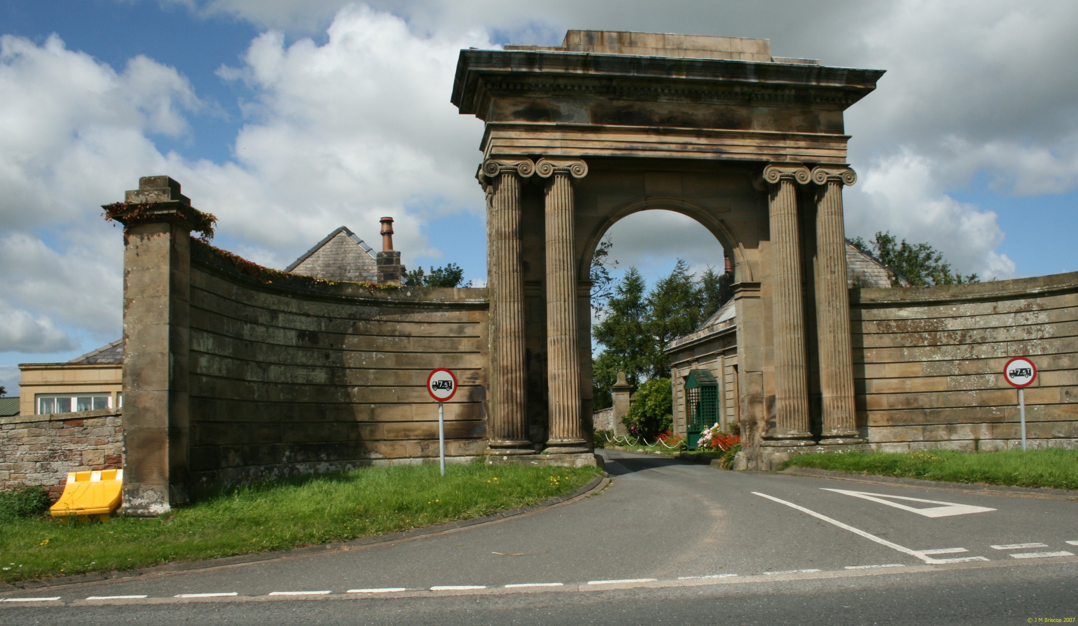
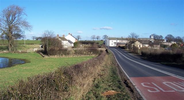
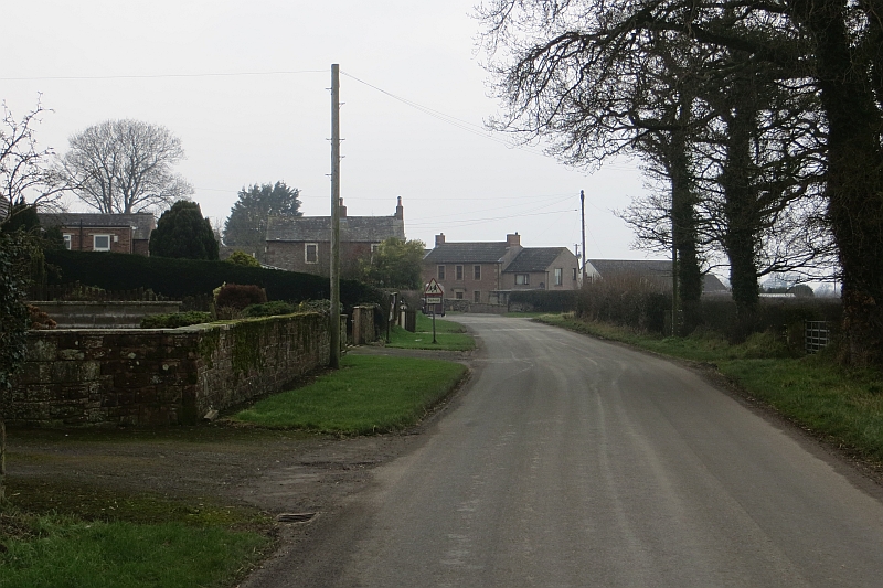
Bank Wood Images

Images are sourced within 2km of 54.840642/-3.0902579 or Grid Reference NY3050. Thanks to Geograph Open Source API. All images are credited.

Old Milestone by the A596 at Micklethwaite Metal plate attached to stone post by the A596, in parish of THURSBY (ALLERDALE District), 50m West of Micklethwaite Farm, North East of Micklethwaite, in verge, on North side of road. Carlisle red stone and curved plate, erected by the Cockermouth & Carlisle turnpike trust in the 19th century. 

Inscription reads:-
CARLISLE
9 MILES
WIGTON
2 MILE
COCKERMOUTH
17½ MILES 
Carved benchmark.

Grade II Listed. List Entry Number: 1144641
<span class="nowrap"><a title="https://historicengland.org.uk/listing/the-list/list-entry/1144641" rel="nofollow ugc noopener" href="https://historicengland.org.uk/listing/the-list/list-entry/1144641">Link</a><img style="margin-left:2px;" alt="External link" title="External link - shift click to open in new window" src="https://s1.geograph.org.uk/img/external.png" width="10" height="10"/></span>

Milestone Society National ID: CU_CLCMa09.
Old Milestone by the A596 at Micklethwaite
Metal plate attached to stone post by the A596, in parish of THURSBY (ALLERDALE District), 50m West of Micklethwaite Farm, North East of Micklethwaite, in verge, on North side of road. Carlisle red stone and curved plate, erected by the Cockermouth & Carlisle turnpike trust in the 19th century. Inscription reads:- CARLISLE 9 MILES WIGTON 2 MILE COCKERMOUTH 17½ MILES Carved benchmark. Grade II Listed. List Entry Number: 1144641 LinkExternal link Milestone Society National ID: CU_CLCMa09.
Junction of Shaw Wood Lane with A596 at Shaw Rigg Looking southward.
Junction of Shaw Wood Lane with A596 at Shaw Rigg
Looking southward.
Ordnance Survey Flush Bracket S8301 This can be found on the wall of a private dwelling in Shaw Wood Lane.
For more detail see : <span class="nowrap"><a title="http://www.bench-marks.org.uk/bm13209" rel="nofollow ugc noopener" href="http://www.bench-marks.org.uk/bm13209">Link</a><img style="margin-left:2px;" alt="External link" title="External link - shift click to open in new window" src="https://s1.geograph.org.uk/img/external.png" width="10" height="10"/></span>
Ordnance Survey Flush Bracket S8301
This can be found on the wall of a private dwelling in Shaw Wood Lane. For more detail see : LinkExternal link
Crofton Lake A Popular fishing venue.
Crofton Lake
A Popular fishing venue.
Old Milestone on A595
Barn and Stable, Hollin Root The stable appears to be grafted onto the barn as a later addition.
Barn and Stable, Hollin Root
The stable appears to be grafted onto the barn as a later addition.
Moorthwaite Lough Artificially created by damming a stream, it was once far more extensive. Now it is little more than a pond.
Moorthwaite Lough
Artificially created by damming a stream, it was once far more extensive. Now it is little more than a pond.
Farm Track to Spain Wood
Stop Look Listen. the train is heading right to left from carlisle to Barrow in furness and it did not stop look and listen but it tooted its tooter a fair way off the pedestrian crossing as a warning of its approach.
Stop Look Listen.
the train is heading right to left from carlisle to Barrow in furness and it did not stop look and listen but it tooted its tooter a fair way off the pedestrian crossing as a warning of its approach.
Micklthwaite. On the busy A596 the slow sign has a hard time slowing traffic even though there is a bend in the road.
Micklthwaite.
On the busy A596 the slow sign has a hard time slowing traffic even though there is a bend in the road.
Footpath to Micklethwaite. Nice tidy field with a buffer strip between the path and the field crop proper oh and nice trees.
Footpath to Micklethwaite.
Nice tidy field with a buffer strip between the path and the field crop proper oh and nice trees.
Multi junction. Road Junction, Beck, Bridge, Wood and Power lines (through the trees and just visible) should be plenty to reference on a map.
Multi junction.
Road Junction, Beck, Bridge, Wood and Power lines (through the trees and just visible) should be plenty to reference on a map.
Up the line to Carlisle. With East Woodside Farm shown over the line further up.
Up the line to Carlisle.
With East Woodside Farm shown over the line further up.
Where there's muck. Not far away will be a farm. There it is in the distance with the new buildings.
Where there's muck.
Not far away will be a farm. There it is in the distance with the new buildings.
Wet fields and woodland The winter sun just is not powerful enough to dry this lot up.
Wet fields and woodland
The winter sun just is not powerful enough to dry this lot up.
Green and greener fields. This field is just waiting for spring and has another twist on "Spring Greens".
Green and greener fields.
This field is just waiting for spring and has another twist on "Spring Greens".
View Towards Great Orton Taken beside A595, Wind turbines at Great Orton can be seen on skyline.
View Towards Great Orton
Taken beside A595, Wind turbines at Great Orton can be seen on skyline.
Road to Ghyll Head Farm
Show me another place!

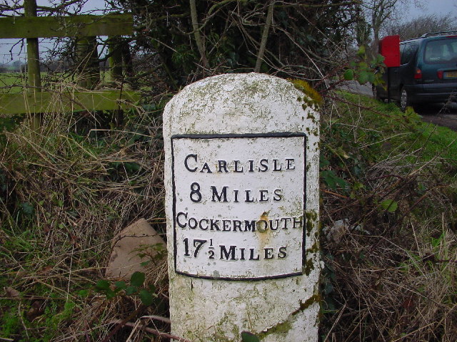
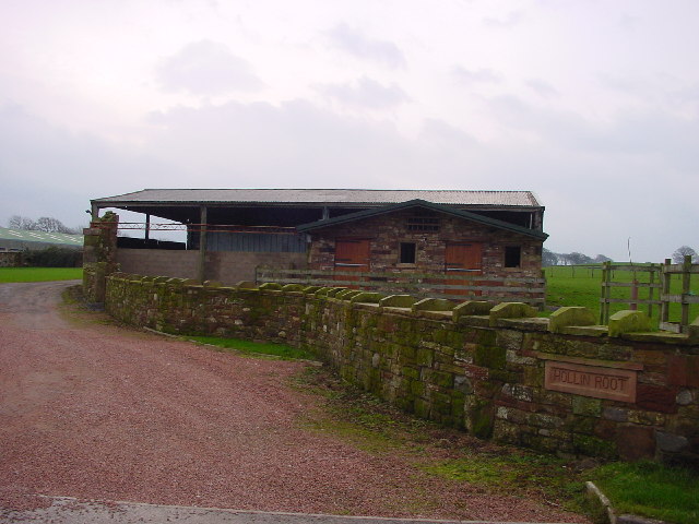
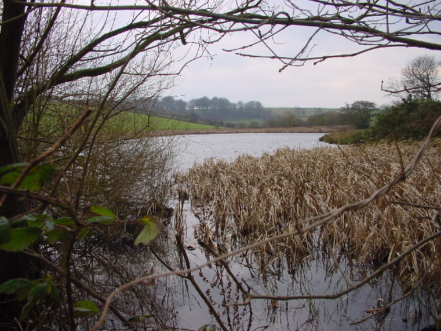
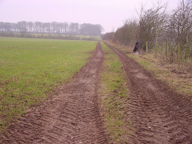
Bank Wood is located at Grid Ref: NY3050 (Lat: 54.840642, Lng: -3.0902579)

Administrative County: Cumbria

District: Allerdale

Police Authority: Cumbria

What 3 Words

///adjust.lurching.rumble. Near Wigton, Cumbria

Nearby Locations

Crofton Bank Wood Thursby

Related Wikis

Crofton, Cumbria

Crofton is an area of Thursby, Allerdale district of Cumbria, England. It is 6.4 miles (10.3 km) west-southwest of Carlisle. In 1870-72 the township had...

Micklethwaite, Cumbria

Micklethwaite is a hamlet in Cumbria, England, close to the Lake District. It is situated to the north east of Wigton. == References == == External... ==

Thornby, Cumbria

Thornby is a village in Cumbria, England. == References == The geographic coordinates are from the Ordnance Survey.

Thursby

Thursby is a village in the Cumberland Council district of Cumbria, England. It is near to the city of Carlisle in North West England. Thursby was historically...

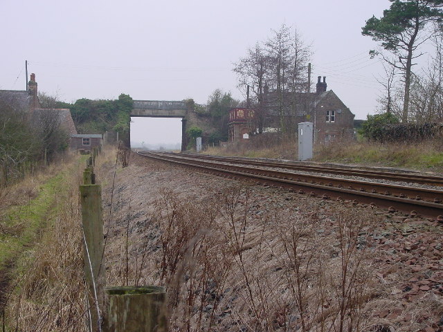
Curthwaite railway station

Curthwaite was a railway station on the Maryport and Carlisle Railway (M&CR) serving West Curthwaite and Thursby in Cumbria. The station was opened by...

Wiggonby

Wiggonby is a hamlet in parish of Aikton and the district of Allerdale, in the English county of Cumbria. Historically in Cumberland, it seven miles away...

Baldwinholme

Baldwinholme is a village in Cumbria, England. In 1870-72 the township had a population of 234. == See also == Listed buildings in Orton, Carlisle ��2...

St Andrew's Church, Aikton

St Andrew's Church stands near the village of Aikton, Cumbria, England. It is an active Anglican parish church in the deanery of Carlisle, the archdeaconry...

Nearby Amenities

Located within 500m of 54.840642,-3.0902579
Crofton Hall Farm
Local Ref: AT
Naptan AtcoCode: 090002512258
Naptan Bearing: N
Naptan BusStopType: CUS
Naptan CommonName: Crofton Hall Farm
Naptan Indicator: at
Naptan Landmark: track to Crofton Hall Farm
Naptan NaptanCode: cumagpmt
Naptan Street: No name
Naptan Verified: no
Source: naptan_import
Lat/Long: 54.8407643/-3.0855895
Post Box
Ref: CA5 363
Lat/Long: 54.8394884/-3.0842334
Description: Former site of Crofton Hall, demolished in the 1950s. Now only the gateway and some farm buildings remain.
Historic: yes
Wikidata: Q5187489
Wikipedia: en:Crofton, Cumbria
Lat/Long: 54.8389208/-3.0857282
Crofton
Place: hamlet
Wikidata: Q5187489
Lat/Long: 54.8403977/-3.0846664
West Park
Place: locality
Lat/Long: 54.8374567/-3.0874773
Crofton Hall CL
Tourism: caravan_site
Lat/Long: 54.8389094/-3.08601
The data included in this document is from www.openstreetmap.org. The data is made available under ODbL.

Have you been to Bank Wood?

Leave your review of Bank Wood below (or comments, questions and feedback).