Underland Wood
Wood, Forest in Lancashire South Lakeland
England
Underland Wood

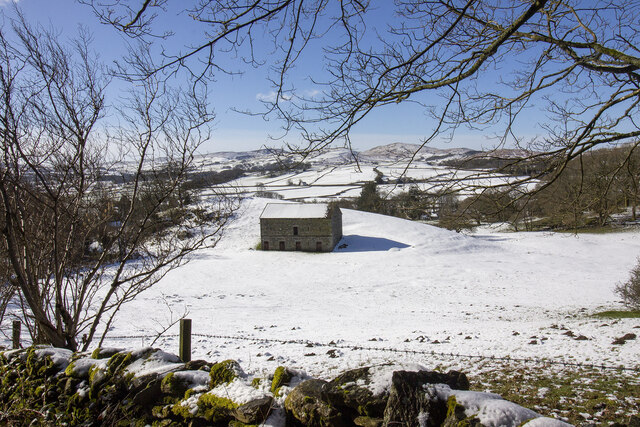
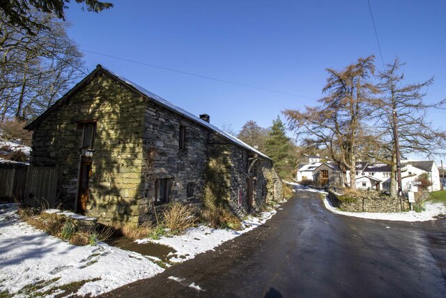
Underland Wood, located in Lancashire, is a picturesque woodland area that stretches across a vast expanse of the county. This enchanting forest is a haven of natural beauty, offering visitors a serene and peaceful escape from the hustle and bustle of urban life.
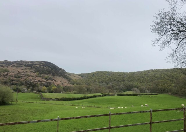
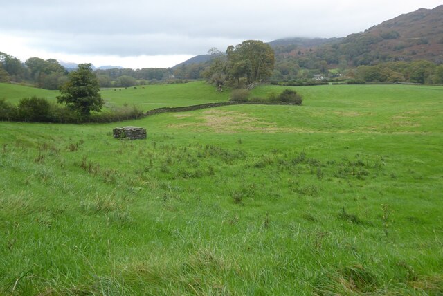
Covering an area of approximately 100 acres, Underland Wood is home to a diverse range of plant and animal species. The woodland is characterized by its thick canopy of towering oak, beech, and birch trees, which provide shade and shelter to the thriving ecosystem below.
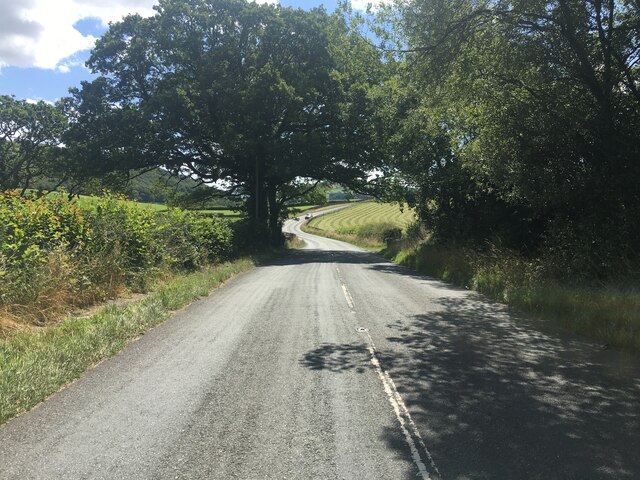
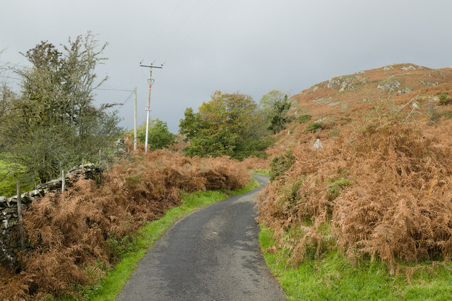
As visitors explore the forest, they will discover a network of well-maintained trails that wind their way through the dense undergrowth. These paths offer the perfect opportunity for leisurely walks and hikes, allowing visitors to immerse themselves in the tranquil ambiance of the wood.
Underland Wood is known for its rich biodiversity. Nature enthusiasts can spot a variety of bird species flitting through the treetops, including woodpeckers, owls, and warblers. The forest floor is teeming with life, with squirrels, rabbits, and even the occasional deer making appearances.
For those seeking a more immersive experience, Underland Wood offers camping facilities, allowing visitors to spend the night amidst the serene surroundings. The woodland also provides picnic areas, encouraging families and friends to enjoy a leisurely lunch while surrounded by nature's beauty.
Underland Wood is a true gem in Lancashire's natural landscape. Its tranquil atmosphere, abundance of wildlife, and stunning scenery make it a must-visit destination for nature lovers and those seeking respite from the urban grind.
If you have any feedback on the listing, please let us know in the comments section below.
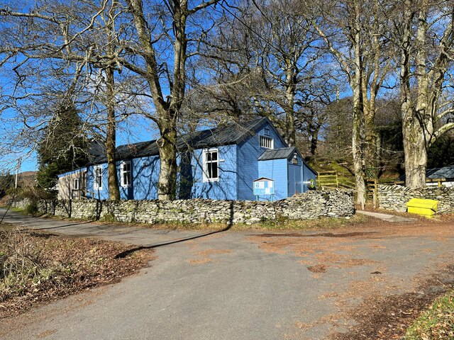
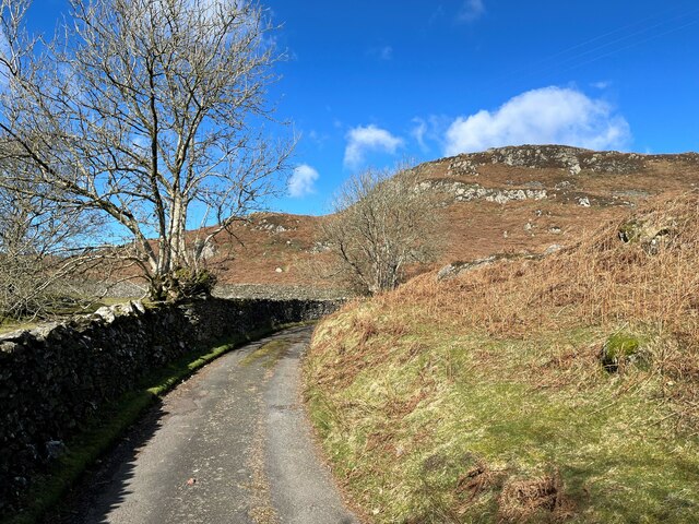
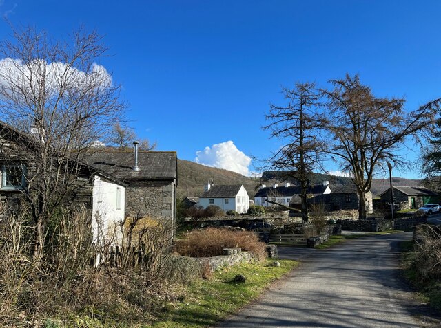
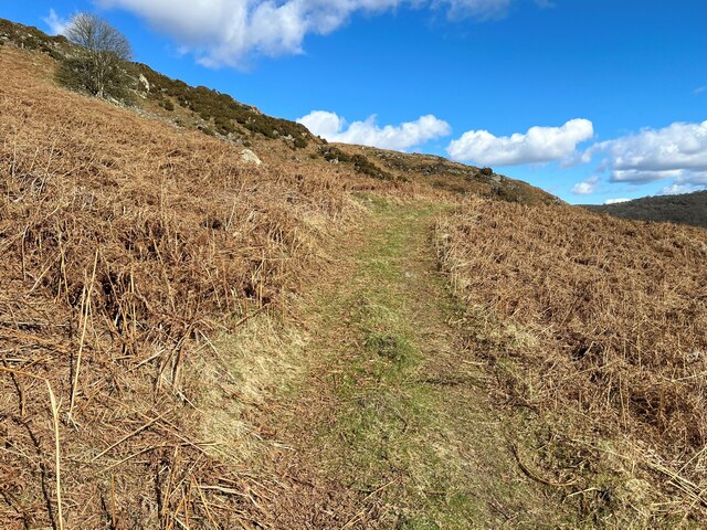
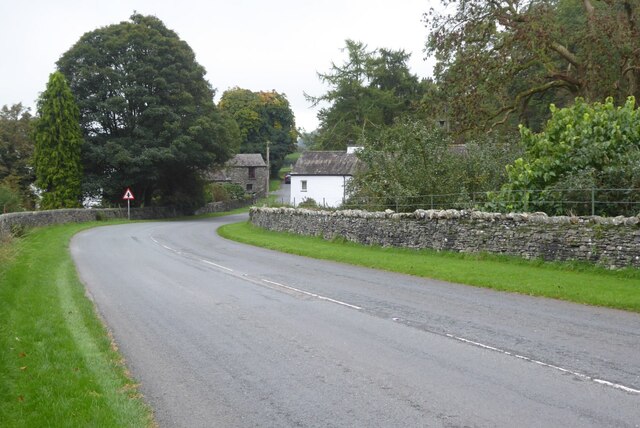
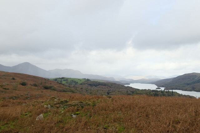
Underland Wood Images
Images are sourced within 2km of 54.288501/-3.0827637 or Grid Reference SD2988. Thanks to Geograph Open Source API. All images are credited.


Underland Wood is located at Grid Ref: SD2988 (Lat: 54.288501, Lng: -3.0827637)
Administrative County: Cumbria
District: South Lakeland
Police Authority: Cumbria
What 3 Words
///resold.bookmark.goggle. Near Ulverston, Cumbria
Nearby Locations
Related Wikis

St John the Baptist's Church, Blawith
St John the Baptist's Church is a redundant Anglican church in the settlement of Blawith, Cumbria, England. It is located to the east of the A5084 road...

Blawith and Subberthwaite
Blawith and Subberthwaite is a civil parish in the South Lakeland district of Cumbria, England. It is situated in the Lake District National Park, and...

Nibthwaite
Nibthwaite is a village in the South Lakeland District in the county of Cumbria in the northwest of England. It is in the civil parish of Colton, and on...

North Lonsdale Rural District
North Lonsdale was a rural district in the county of Lancashire, England from 1894 to 1974. It was created in 1894 as the Ulverston Rural District, and...

Bandrake Head
Bandrake Head is a village in Cumbria, England. == External links == Media related to Bandrake Head at Wikimedia Commons

Furness
Furness ( FUR-niss, fur-NESS) is a peninsula and region of Cumbria, England. Together with the Cartmel Peninsula it forms North Lonsdale, historically...

Lowick, Cumbria
Lowick is a village and civil parish in the South Lakeland district of the English county of Cumbria. Prior to 1 April 1974 it was part of Lancashire,...

Woodland Fell
Woodland Fell is an upland area in the south of the English Lake District, south of Torver, Cumbria. It is the subject of a chapter of Wainwright's book...
Nearby Amenities
Located within 500m of 54.288501,-3.0827637Have you been to Underland Wood?
Leave your review of Underland Wood below (or comments, questions and feedback).