Harthead Wood

Wood, Forest in Lancashire South Lakeland

England

Harthead Wood

A glimpse of Coniston Water Towards the southern end of the lake. Boon Wood on the left
A glimpse of Coniston Water Credit: Eirian Evans

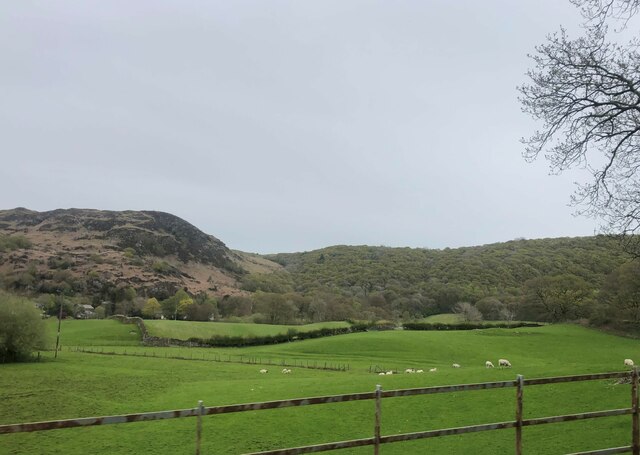
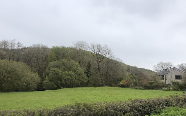
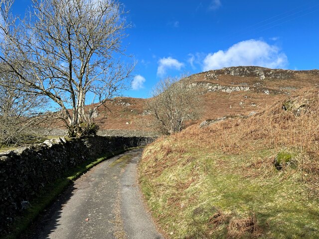
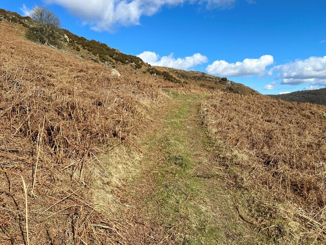
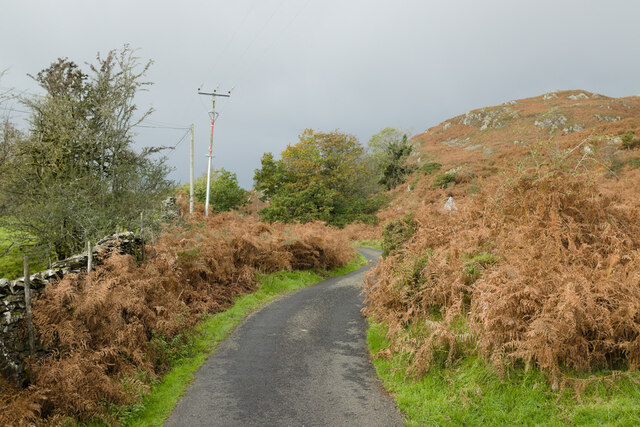
Harthead Wood is a picturesque forest located in the county of Lancashire, England. Situated near the village of Harthead, the wood covers an area of approximately 200 acres, making it a significant natural attraction in the region. With its lush greenery, diverse wildlife, and tranquil atmosphere, it is a popular destination for nature lovers, hikers, and photographers.

The wood is predominantly composed of deciduous trees, such as oak, beech, and birch, creating a vibrant and ever-changing landscape throughout the year. In spring, the forest comes alive with a burst of colorful wildflowers, including bluebells and primroses, adding to its natural charm. Autumn transforms Harthead Wood into a mesmerizing spectacle as the foliage turns into a myriad of golden, orange, and red hues.

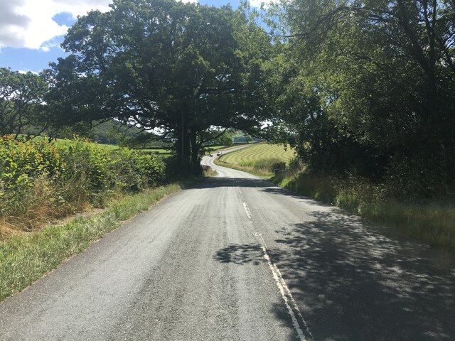
Several well-maintained walking trails meander through the forest, offering visitors the opportunity to explore its beauty at their own pace. These paths are suitable for all levels of walkers and provide access to various points of interest, including a small lake and a hidden waterfall.

The wood is home to a diverse range of wildlife, including deer, rabbits, squirrels, and a variety of bird species. Nature enthusiasts can often spot woodpeckers, owls, and even the occasional red kite soaring above the treetops.

Harthead Wood provides a peaceful retreat from the hustle and bustle of city life, making it an ideal destination for those seeking relaxation and connection with nature. Whether it is a leisurely stroll, a family picnic, or wildlife observation, this enchanting forest offers a memorable experience for all who visit.

If you have any feedback on the listing, please let us know in the comments section below.

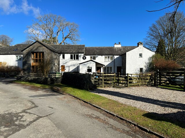
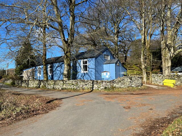
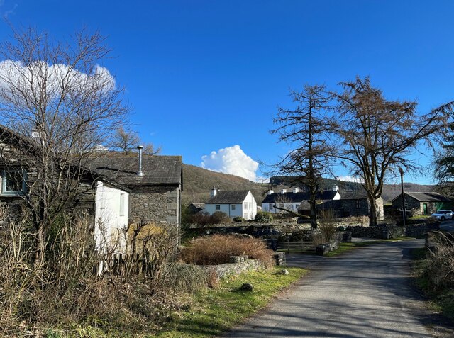
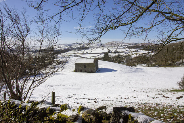
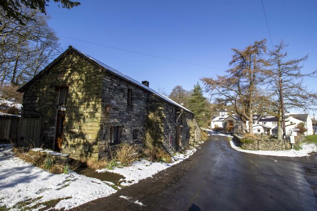
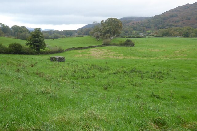
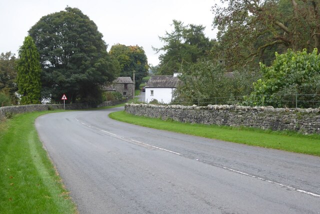
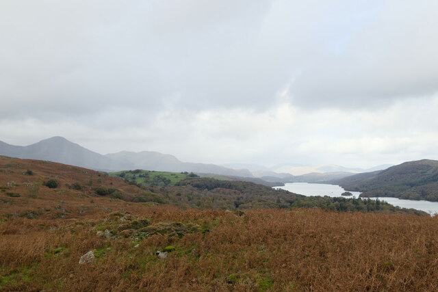
Harthead Wood Images

Images are sourced within 2km of 54.286607/-3.083436 or Grid Reference SD2988. Thanks to Geograph Open Source API. All images are credited.

A glimpse of Coniston Water Towards the southern end of the lake. Boon Wood on the left
A glimpse of Coniston Water
Towards the southern end of the lake. Boon Wood on the left
Farmland at High Nibthwaite South of Coniston Water. The crag on the left is Brook Barrow
Farmland at High Nibthwaite
South of Coniston Water. The crag on the left is Brook Barrow
Wide valley of the River Crake
Former Blawith church Formerly this was the Church of St John the Baptist but it became redundant in 1988 and was sold to be converted in 2012
Former Blawith church
Formerly this was the Church of St John the Baptist but it became redundant in 1988 and was sold to be converted in 2012
Field by the River Crake The trees mark the route of the River Crake at Lowick
Field by the River Crake
The trees mark the route of the River Crake at Lowick
A5084 in the Crake Valley
Road junction in Water Yeat
Water Yeat Mill This former corn mill was supplied with water power by Greenholme Beck, fed by Beacon Tarn.  It was converted in the mid-1960s into sheltered accommodation for elderly people and now, much altered, it is partly residential with the remainder let for holidays.
Water Yeat Mill
This former corn mill was supplied with water power by Greenholme Beck, fed by Beacon Tarn. It was converted in the mid-1960s into sheltered accommodation for elderly people and now, much altered, it is partly residential with the remainder let for holidays.
Blawith and Nibthwaite Village Hall This small, wooden village hall is located in Water Yeat.  It is run as a charity by and for the benefit of the local community.
Blawith and Nibthwaite Village Hall
This small, wooden village hall is located in Water Yeat. It is run as a charity by and for the benefit of the local community.
The road to Greenholme Farm Bowder Knott is the hill in the right background.
The road to Greenholme Farm
Bowder Knott is the hill in the right background.
Water Yeat The building on the left is a former corn mill, supplied with water power by Greenholme Beck.
Water Yeat
The building on the left is a former corn mill, supplied with water power by Greenholme Beck.
Track near Greenholme Farm
New Barn
New Barn
Silver Howe Converted vernacular farm building
Silver Howe
Converted vernacular farm building
Lane to Greenholme Farm
Farmland at Water Yeat
The A5084 passing through Water Yeat
Rain sweeping in over Coniston Water
Show me another place!

Harthead Wood is located at Grid Ref: SD2988 (Lat: 54.286607, Lng: -3.083436)

Administrative County: Cumbria

District: South Lakeland

Police Authority: Cumbria

What 3 Words

///agree.blank.flickers. Near Ulverston, Cumbria

Related Wikis

St John the Baptist's Church, Blawith

St John the Baptist's Church is a redundant Anglican church in the settlement of Blawith, Cumbria, England. It is located to the east of the A5084 road...

Blawith and Subberthwaite

Blawith and Subberthwaite is a civil parish in the South Lakeland district of Cumbria, England. It is situated in the Lake District National Park, and...

North Lonsdale Rural District

North Lonsdale was a rural district in the county of Lancashire, England from 1894 to 1974. It was created in 1894 as the Ulverston Rural District, and...

Nibthwaite

Nibthwaite is a village in the South Lakeland District in the county of Cumbria in the northwest of England. It is in the civil parish of Colton, and on...

Nearby Amenities

Located within 500m of 54.286607,-3.083436
Nibthwaite Grange
Place: hamlet
Lat/Long: 54.2838507/-3.082681
Arklid
Place: isolated_dwelling
Source: OS OpenData StreetView
Lat/Long: 54.2906454/-3.0859063
Low Nibthwaite
Place: hamlet
Source: OS OpenData StreetView
Lat/Long: 54.2856504/-3.0848951
Post Box
Ref: LA12 76
Lat/Long: 54.2857793/-3.0839932
Power: pole
Lat/Long: 54.2834273/-3.0839766
Power: pole
Lat/Long: 54.2841572/-3.0841382
Power: pole
Lat/Long: 54.2848662/-3.0844472
Power: pole
Lat/Long: 54.2855724/-3.0848299
Power: pole
Lat/Long: 54.2840767/-3.0832089
Power: pole
Lat/Long: 54.2839976/-3.0822795
The data included in this document is from www.openstreetmap.org. The data is made available under ODbL.

Have you been to Harthead Wood?

Leave your review of Harthead Wood below (or comments, questions and feedback).