Boon's Copse
Wood, Forest in Somerset Somerset West and Taunton
England
Boon's Copse

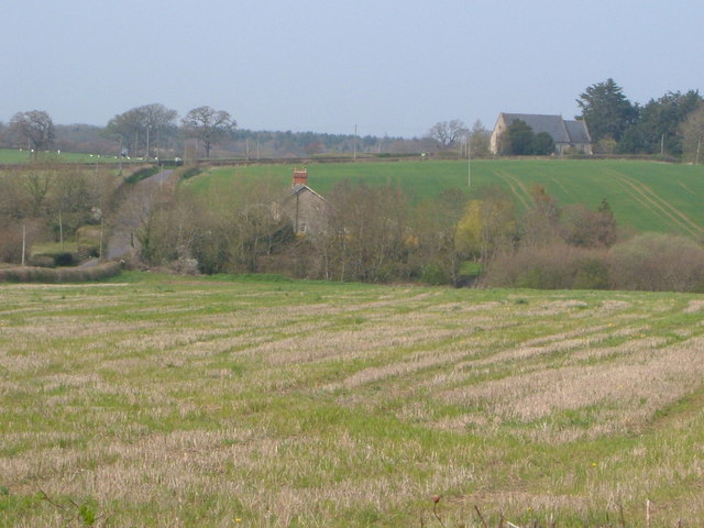
Boon's Copse is a picturesque wood located in Somerset, England. Nestled within the rolling hills of the county, this forested area offers a tranquil and scenic escape from the hustle and bustle of modern life.
Covering an area of approximately 20 hectares, Boon's Copse is characterized by a dense canopy of deciduous trees, including oak, beech, and ash. These towering giants provide a rich habitat for a diverse range of flora and fauna, making it an ideal destination for nature enthusiasts and wildlife lovers.
The forest floor is carpeted with a plethora of wildflowers, creating a vibrant tapestry of colors during the spring and summer months. The presence of several small streams adds to the enchanting atmosphere, offering a soothing soundtrack of trickling water.
Visitors to Boon's Copse can explore the forest via a network of well-maintained footpaths and trails. These pathways wind their way through the wood, leading visitors to hidden clearings, secluded picnic spots, and breathtaking viewpoints.
The wood is also home to a variety of wildlife species, including deer, squirrels, and a wide array of bird species. Birdwatchers can spot woodpeckers, owls, and numerous songbirds, making it a haven for ornithologists.
Boon's Copse holds great historical significance as well. It is believed to have been in existence for several centuries, and remnants of ancient settlements and burial mounds can still be found within the woodland, adding an air of mystery and intrigue to the area.
Overall, Boon's Copse is a nature lover's paradise, offering a mesmerizing blend of natural beauty, biodiversity, and historical charm.
If you have any feedback on the listing, please let us know in the comments section below.
Boon's Copse Images
Images are sourced within 2km of 50.974961/-3.0253071 or Grid Reference ST2820. Thanks to Geograph Open Source API. All images are credited.


Boon's Copse is located at Grid Ref: ST2820 (Lat: 50.974961, Lng: -3.0253071)
Administrative County: Somerset
District: Somerset West and Taunton
Police Authority: Avon and Somerset
What 3 Words
///corkscrew.owls.charging. Near Creech St Michael, Somerset
Nearby Locations
Related Wikis

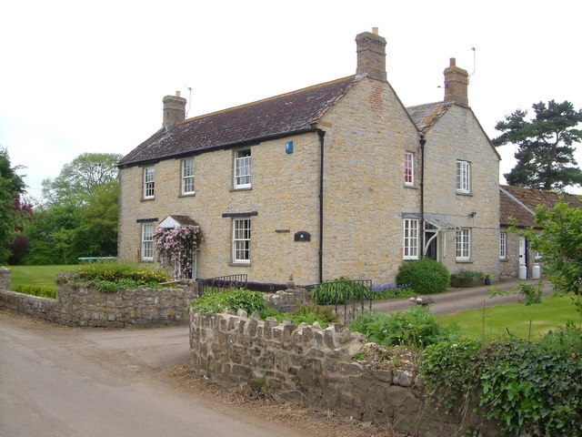
West Hatch
West Hatch is a hamlet and civil parish in Somerset, England, situated 5 miles (8.0 km) south east of Taunton. It has a population of 306. == History... ==
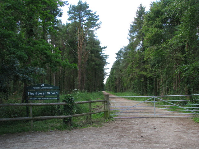
Thurlbear Wood and Quarrylands
Thurlbear Wood and Quarrylands (grid reference ST270210) is a 26.7 hectare (65.8 acre) biological Site of Special Scientific Interest south of Stoke St...

Bickenhall
Bickenhall is a hamlet and parish in Somerset, England, situated 5 miles (8.0 km) south east of Taunton. The parish, which includes the hamlet of Batten...

William Portman Almshouses
The William Portman Almshouses in Staple Fitzpaine, Somerset, England was built in 1643. It is a Grade II* listed building. == History == The almshouses...

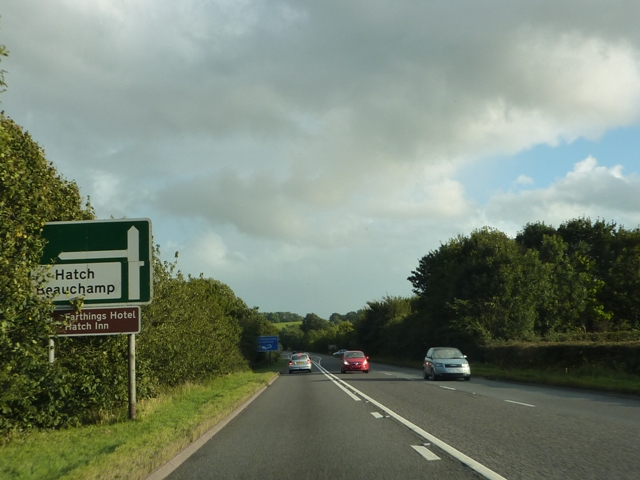
Hatch Beauchamp
Hatch Beauchamp is a village and civil parish in Somerset, England, situated 5 miles (8.0 km) south east of Taunton. The village has a population of 620...

Staple Fitzpaine
Staple Fitzpaine is a village and civil parish in Somerset, England, situated 5 miles (8.0 km) south of Taunton. The village has a population of 189 and...

Curland
Curland is a village and civil parish in Somerset, England, situated 6 miles (9.7 km) south of Taunton. The village has a population of 225. The parish...
Church of St Mary, Stoke St Mary
The Anglican Church of St Mary in Stoke St Mary, Somerset, England was built in the 13th century. It is a Grade II* listed building. == History == The...
Have you been to Boon's Copse?
Leave your review of Boon's Copse below (or comments, questions and feedback).