West Hatch
Settlement in Somerset Somerset West and Taunton
England
West Hatch
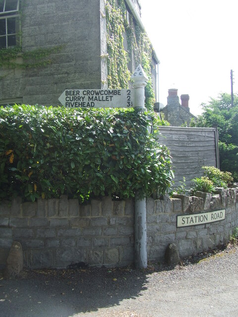
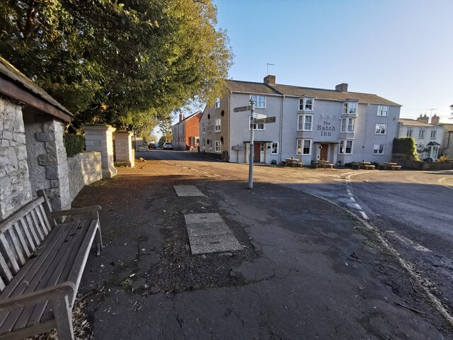
West Hatch is a small village located in the county of Somerset, England. Situated approximately 7 miles southwest of the town of Taunton, it falls within the administrative district of Somerset West and Taunton. With a population of around 500 residents, West Hatch is a tight-knit community characterized by its rural charm and picturesque surroundings.
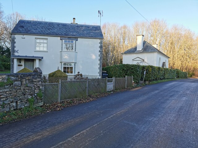
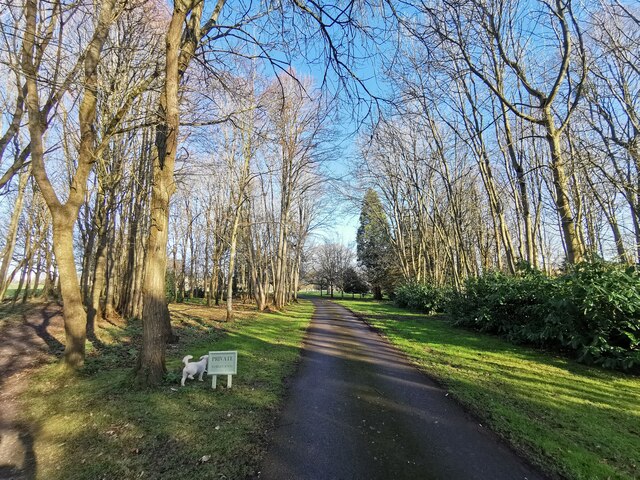
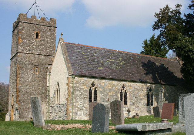
The village is surrounded by rolling countryside, with farmland and meadows stretching out in all directions. The landscape is dotted with traditional stone-built houses, many of which date back several centuries, adding to the village's timeless appeal. The centerpiece of the village is the Church of St. Andrew, a beautiful medieval building that has served as a place of worship for over 700 years.
West Hatch is known for its strong agricultural heritage, with farming being a significant part of the local economy. The fertile soil and favorable climate in the area make it ideal for farming, particularly for livestock and dairy production. The village also benefits from its proximity to the River Tone, which provides a source of water and supports local wildlife.
Despite its small size, West Hatch offers a range of amenities to its residents. These include a primary school, a village hall, and a pub, which serves as a social hub for the community. The village enjoys a peaceful and tranquil atmosphere, making it an attractive place for those seeking a quiet countryside lifestyle.
If you have any feedback on the listing, please let us know in the comments section below.
West Hatch Images
Images are sourced within 2km of 50.982857/-3.01857 or Grid Reference ST2820. Thanks to Geograph Open Source API. All images are credited.


West Hatch is located at Grid Ref: ST2820 (Lat: 50.982857, Lng: -3.01857)
Administrative County: Somerset
District: Somerset West and Taunton
Police Authority: Avon and Somerset
What 3 Words
///crest.elevator.landscape. Near Creech St Michael, Somerset
Nearby Locations
Related Wikis

West Hatch
West Hatch is a hamlet and civil parish in Somerset, England, situated 5 miles (8.0 km) south east of Taunton. It has a population of 306. == History... ==
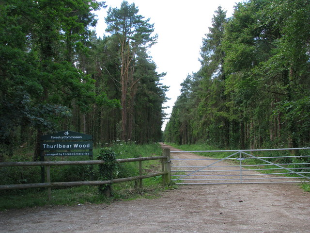
Thurlbear Wood and Quarrylands
Thurlbear Wood and Quarrylands (grid reference ST270210) is a 26.7 hectare (65.8 acre) biological Site of Special Scientific Interest south of Stoke St...

Hatch Beauchamp
Hatch Beauchamp is a village and civil parish in Somerset, England, situated 5 miles (8.0 km) south east of Taunton. The village has a population of 620...

Taunton Stop Line
The Taunton Stop Line was a World War II defensive line in southwest England. It was designed "to stop an enemy's advance from the west and in particular...
Church of St Mary, Stoke St Mary
The Anglican Church of St Mary in Stoke St Mary, Somerset, England was built in the 13th century. It is a Grade II* listed building. == History == The...

Bickenhall
Bickenhall is a hamlet and parish in Somerset, England, situated 5 miles (8.0 km) south east of Taunton. The parish, which includes the hamlet of Batten...

Thornfalcon
Thornfalcon is a village and civil parish in Somerset, England, situated 4 miles (6.4 km) east of Taunton. The village has a population of 119. The parish...
Stoke St Mary
Stoke St Mary is a village and civil parish in Somerset, England, situated 2 miles (3.2 km) south east of Taunton. == History == The earliest recorded...
Nearby Amenities
Located within 500m of 50.982857,-3.01857Have you been to West Hatch?
Leave your review of West Hatch below (or comments, questions and feedback).