Lime Pits Plantation

Wood, Forest in Somerset South Somerset

England

Lime Pits Plantation

Weston Farm
Weston Farm Credit: Vieve Forward

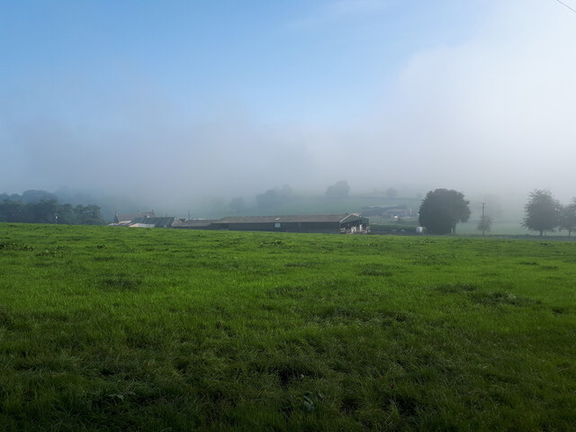
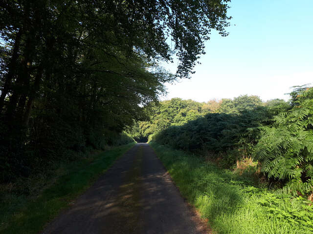
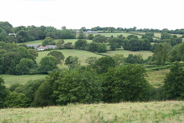
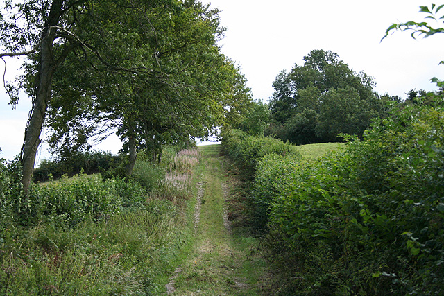
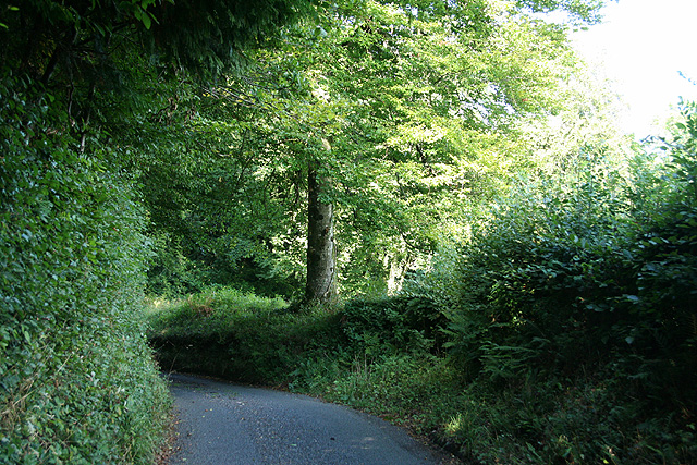
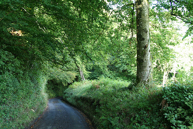
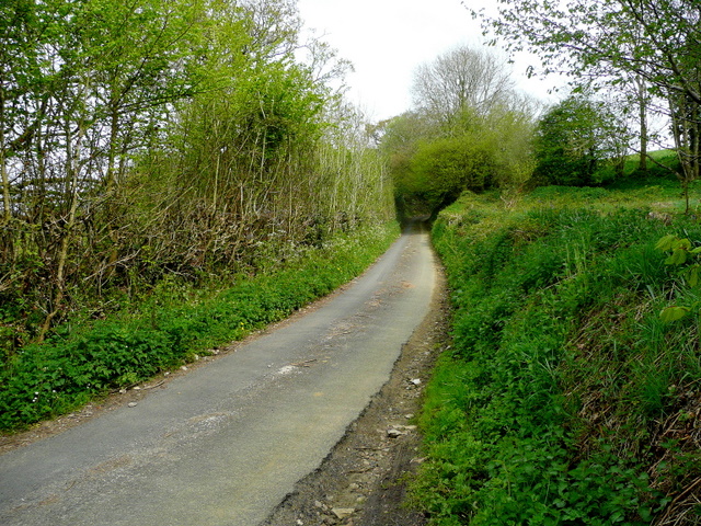
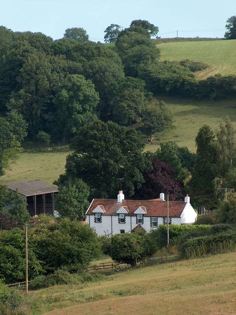
Lime Pits Plantation, located in Somerset, England, is a picturesque woodland area known for its vibrant flora and serene atmosphere. Spanning over a vast expanse, the plantation is a mix of deciduous and coniferous trees, creating a diverse and enchanting landscape.

The centerpiece of Lime Pits Plantation is the lime kiln, a historic structure that was once used to produce lime for various purposes, such as construction and agriculture. This kiln, dating back to the 19th century, stands as a testament to the region's industrial heritage and adds a touch of historical significance to the area.

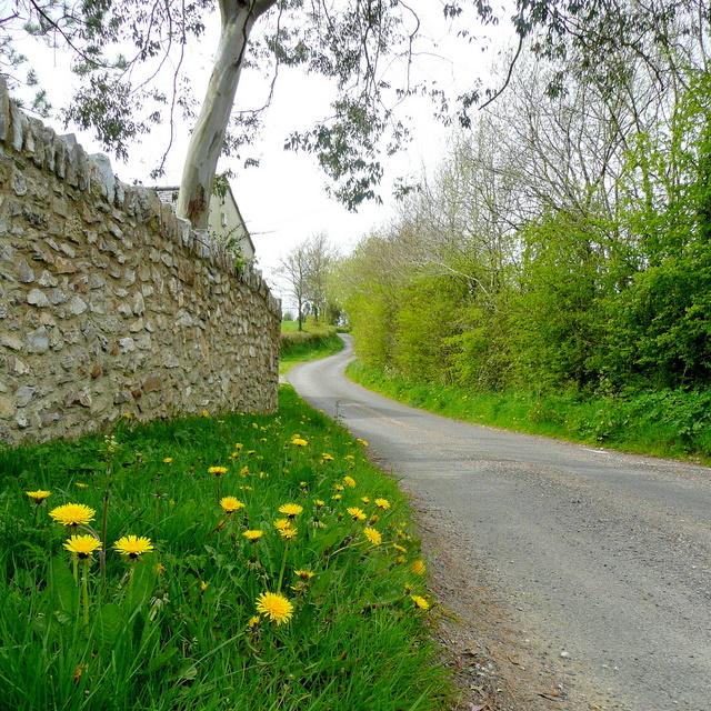
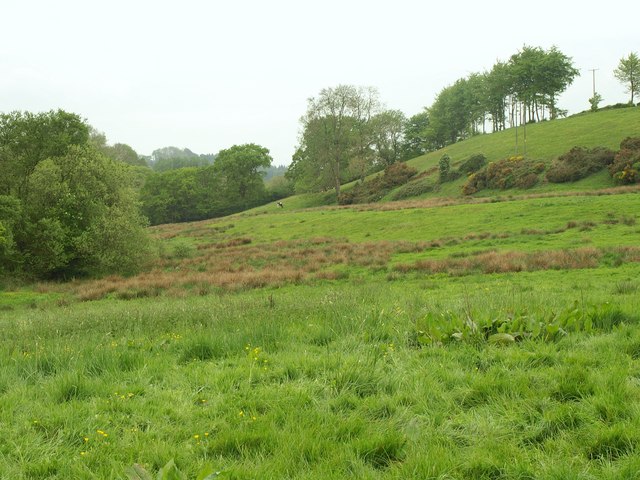
As visitors explore Lime Pits Plantation, they are greeted by a variety of tree species, including oak, beech, birch, and pine. The woodland floor is covered with a lush carpet of ferns, bluebells, and wildflowers, offering a delightful display of colors during the spring and summer months.

The plantation is a haven for wildlife enthusiasts, with an abundance of bird species, such as woodpeckers, jays, and nuthatches, filling the air with their melodious songs. Squirrels and rabbits can often be spotted, darting among the trees, while deer occasionally grace the woodland with their presence.

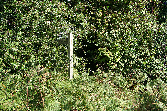
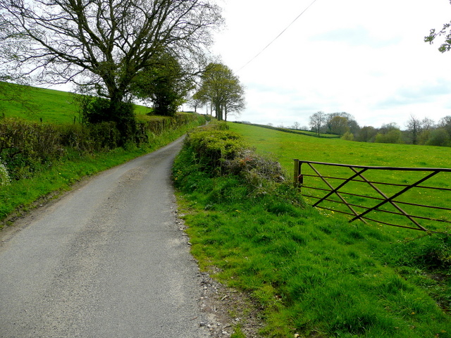
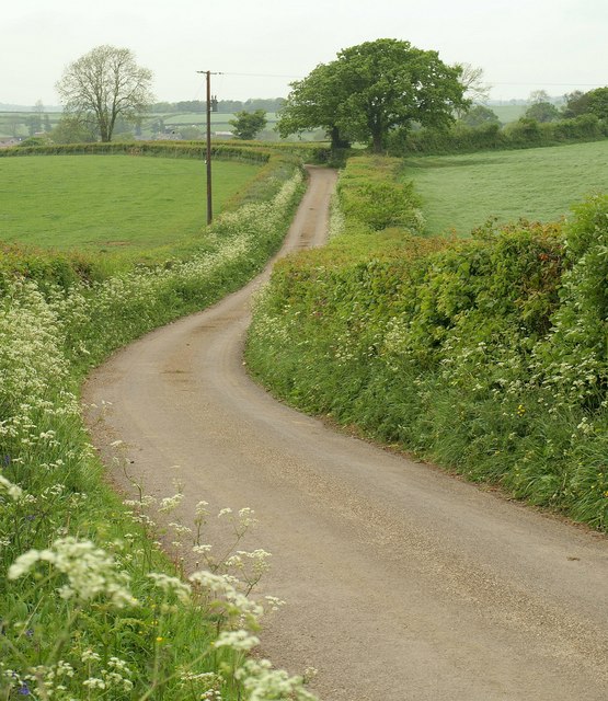
Visitors to Lime Pits Plantation can enjoy a peaceful stroll along the well-maintained trails, immersing themselves in the beauty of nature. The plantation also offers picnic areas and benches, providing an opportunity to relax and soak in the tranquil surroundings.

Overall, Lime Pits Plantation is a captivating destination for nature lovers, offering a harmonious blend of history, biodiversity, and tranquility. Whether it's a leisurely walk, a birdwatching session, or simply a moment of serenity, this plantation has something to offer for everyone.

If you have any feedback on the listing, please let us know in the comments section below.

Lime Pits Plantation Images

Images are sourced within 2km of 50.885712/-3.0259193 or Grid Reference ST2710. Thanks to Geograph Open Source API. All images are credited.

Weston Farm
Weston Farm
Minor road towards New Plantation
Minor road, Wambrook former Methodist Chapel in the distance See <a href="https://www.geograph.org.uk/photo/287988">ST2808 : Wambrook: Wambrook Methodist Chapel</a>.
Minor road, Wambrook former Methodist Chapel in the distance
Combe St Nicholas: Lower Beetham The road ahead leads to Higher Beetham and on to Bishopswood; the left turn runs to Whitestaunton. Street Ash is reached by turning right. Looking north west across a staggered crossroads
Combe St Nicholas: Lower Beetham
The road ahead leads to Higher Beetham and on to Bishopswood; the left turn runs to Whitestaunton. Street Ash is reached by turning right. Looking north west across a staggered crossroads
Whitestaunton: St Andrew’s church Looking west-north-west. The cross seen by the south porch was restored after the first world war and serves to commemorate the men of the parish who died in that conflict. Incorporated into the gable of the south porch is a sundial, above a statue in a niche. Near the church the site of a Roman villa was discovered in the mid 1840s
Whitestaunton: St Andrew’s church
Looking west-north-west. The cross seen by the south porch was restored after the first world war and serves to commemorate the men of the parish who died in that conflict. Incorporated into the gable of the south porch is a sundial, above a statue in a niche. Near the church the site of a Roman villa was discovered in the mid 1840s
Whitestaunton: towards Waldron’s Farm Looking west-north-west over a valley
Whitestaunton: towards Waldron’s Farm
Looking west-north-west over a valley
Combe St Nicholas: footpath to Scrapton Looking south. On this section the path also doubles as a field access track
Combe St Nicholas: footpath to Scrapton
Looking south. On this section the path also doubles as a field access track
Buckland St Mary: footpath to Higher Beetham Seen by Giants Grave Road, looking east-south-east. The footpath is through the gap in the hedge, where a stile leads into a field
Buckland St Mary: footpath to Higher Beetham
Seen by Giants Grave Road, looking east-south-east. The footpath is through the gap in the hedge, where a stile leads into a field
Whitestaunton: by Cinder Hill Looking east-north-east on a lane which runs to Northay
Whitestaunton: by Cinder Hill
Looking east-north-east on a lane which runs to Northay
Whitestaunton: by Cinder Hill Copse Looking northeast on a lane to Northay
Whitestaunton: by Cinder Hill Copse
Looking northeast on a lane to Northay
Whitestaunton: near Woodhayes Farm Looking south east over a valley west from the village
Whitestaunton: near Woodhayes Farm
Looking south east over a valley west from the village
Beetham Hill Looking east from Lower Beetham up the steep lane to Combe St. Nicholas.
Beetham Hill
Looking east from Lower Beetham up the steep lane to Combe St. Nicholas.
Beetham Lane Looking due south along the lane to Northay from Lower Beetham.
Beetham Lane
Looking due south along the lane to Northay from Lower Beetham.
Lower Beetham The staggered crossroads in the valley bottom, viewed from the west.
Lower Beetham
The staggered crossroads in the valley bottom, viewed from the west.
Lane to Higher Beetham A profusion of dandelions along the lane to the A303 and beyond to Bishopswood.
Lane to Higher Beetham
A profusion of dandelions along the lane to the A303 and beyond to Bishopswood.
View south to Scrapton from public footpath
Northey Lane Fringed by cow parsley, the lane curves away from the junction at The Ashes.
Northey Lane
Fringed by cow parsley, the lane curves away from the junction at The Ashes.
Hillside, Beetham From the lane shown in <a href="https://www.geograph.org.uk/photo/1279121">ST2711 : Lane to Higher Beetham</a>, looking across a rushy meadow and along the western slopes of a tributary valley of the Yarty, towards the northern edge of Bettermoor Copse.
Hillside, Beetham
From the lane shown in ST2711 : Lane to Higher Beetham, looking across a rushy meadow and along the western slopes of a tributary valley of the Yarty, towards the northern edge of Bettermoor Copse.
Show me another place!

Lime Pits Plantation is located at Grid Ref: ST2710 (Lat: 50.885712, Lng: -3.0259193)

Administrative County: Somerset

District: South Somerset

Police Authority: Avon and Somerset

What 3 Words

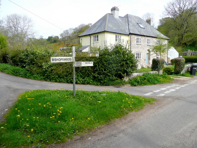
///crashing.parked.seabirds. Near Chard, Somerset

Related Wikis

Whitestaunton

Whitestaunton is a village and civil parish in the South Somerset district of Somerset, England. The parish includes the hamlet of Northay. It was known...

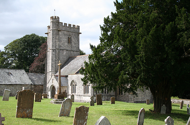
St Andrew's Church, Whitestaunton

The Church of St Andrew in Whitestaunton, Somerset, England, dates from the 13th century and has been designated as a Grade I listed building. The Perpendicular...
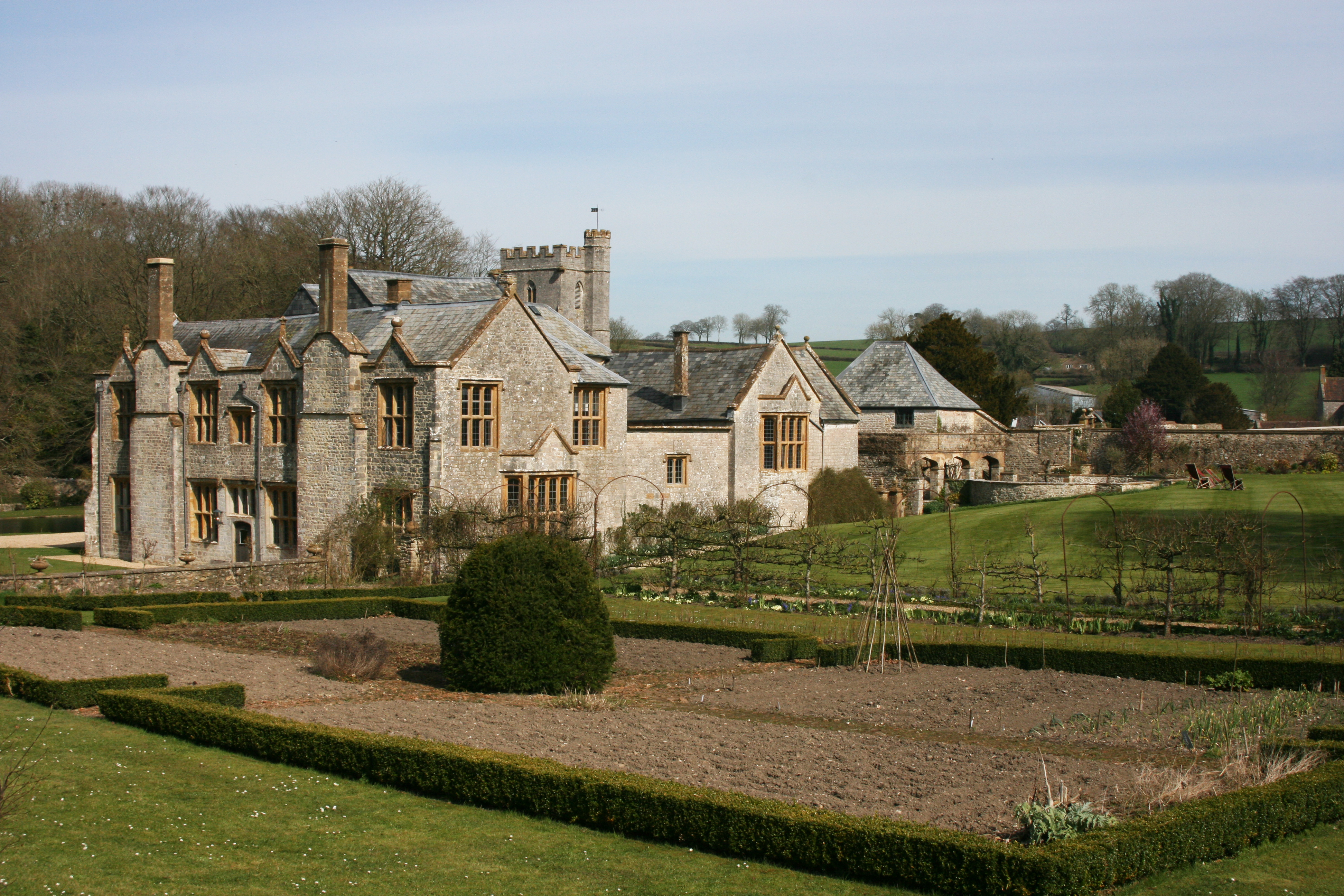
Whitestaunton Manor

Whitestaunton Manor in the village of Whitestaunton, Somerset, England was built in the 15th century as a Hall house and has been designated as a Grade...

Horse Pool Camp

Horse Pool Camp is a univallate Iron Age hill fort enclosure in the South Somerset district of Somerset, England. It is also known as Whitestaunton Camp...

Nearby Amenities

Located within 500m of 50.885712,-3.0259193
Whitestaunton
Is In: Somerset, England, UK
Place: hamlet
Source: OS_OpenData_Streetview
Wikidata: Q2241813
Wikipedia: en:Whitestaunton
Lat/Long: 50.8894655/-3.022492
Turning Circle
Lat/Long: 50.8894288/-3.0249511
Whitestaunton Cross
Place: locality
Lat/Long: 50.8872899/-3.021768
Post Box
Operator: Royal Mail
Post Box Type: wall
Ref: TA20 233
Royal Cypher: VR
Royal Cypher Wikidata: Q33102356
Lat/Long: 50.8894659/-3.0228925
Power: pole
Source: bing
Lat/Long: 50.8893602/-3.0298126
Poles: bipole
Power: pole
Source: bing
Transformer: distribution
Lat/Long: 50.8887307/-3.0232251
Power: pole
Source: bing
Lat/Long: 50.8882316/-3.0288631
Power: pole
Source: bing
Switch: mechanical
Lat/Long: 50.8880573/-3.0300432
Power: pole
Source: bing
Lat/Long: 50.888614/-3.03051
Power: pole
Source: bing
Lat/Long: 50.8878526/-3.0311725
Power: pole
Source: bing
Lat/Long: 50.8871301/-3.0318725
Power: pole
Source: bing
Lat/Long: 50.8863754/-3.0325431
The data included in this document is from www.openstreetmap.org. The data is made available under ODbL.

Have you been to Lime Pits Plantation?

Leave your review of Lime Pits Plantation below (or comments, questions and feedback).