Buckland Hill Clump

Wood, Forest in Somerset South Somerset

England

Buckland Hill Clump

Buckland St Mary: woodland path An old track linking Buckland St Mary and Bishopswood
Buckland St Mary: woodland path Credit: Martin Bodman

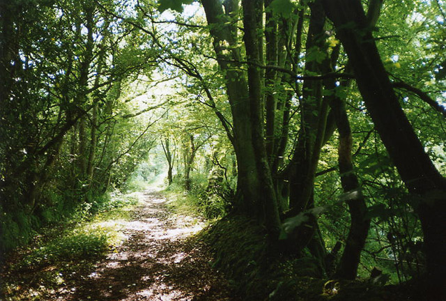
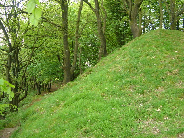
Buckland Hill Clump, located in Somerset, England, is a picturesque woodland area known for its natural beauty and historical significance. Situated near the village of Buckland St Mary, the clump is a small but enchanting forest that covers approximately 10 acres of land.

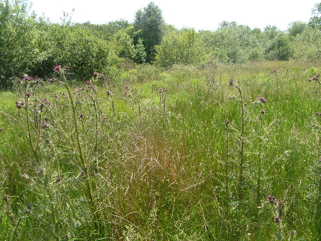
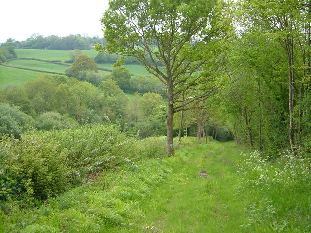
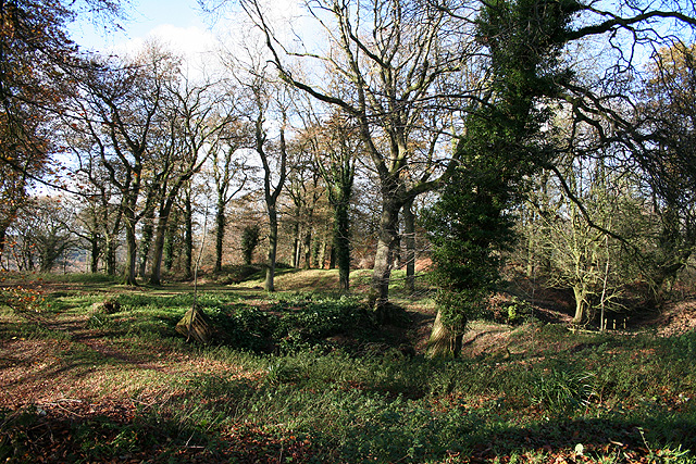
The woodland comprises a mix of deciduous and coniferous trees, including oak, beech, and pine, creating a diverse and vibrant ecosystem. The dense foliage provides a habitat for various wildlife species, such as deer, rabbits, and a wide array of bird species, making it a popular spot for nature enthusiasts and birdwatchers.

Aside from its natural charm, Buckland Hill Clump holds historical significance dating back centuries. It was once part of a larger estate owned by the Buckland family, who were prominent landowners in the area. The clump likely served as a private hunting ground for the family, with remnants of old hunting lodges and trails still visible today.

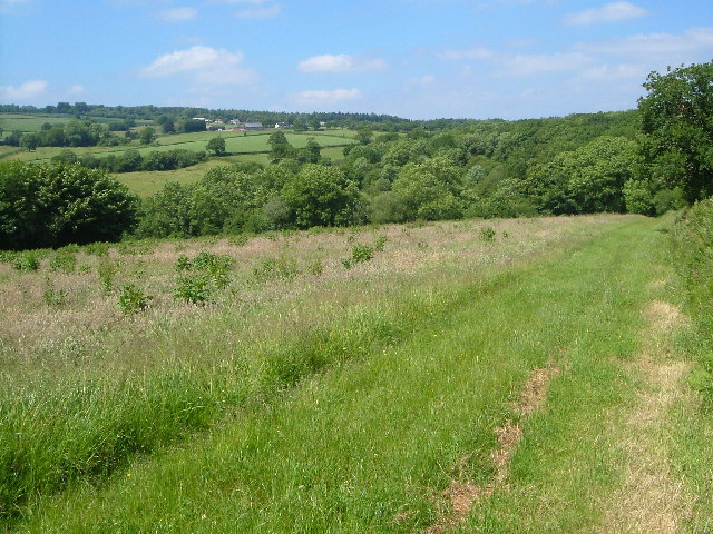
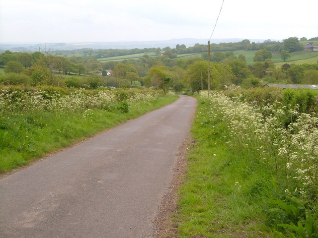
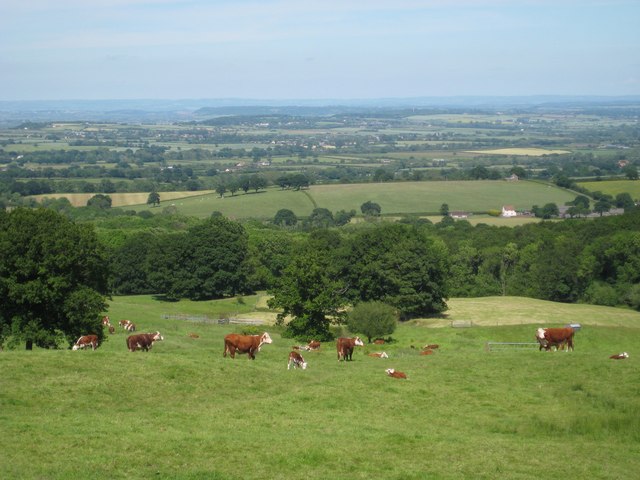
Today, Buckland Hill Clump is open to the public and offers numerous walking trails, allowing visitors to explore the woodland at their own pace. The paths wind through the forest, providing breathtaking views of the surrounding countryside and the nearby Blackdown Hills Area of Outstanding Natural Beauty.

Overall, Buckland Hill Clump is a hidden gem in Somerset, offering a tranquil escape from the hustle and bustle of everyday life. With its natural beauty and historical significance, it is a must-visit destination for nature lovers and history enthusiasts alike.

If you have any feedback on the listing, please let us know in the comments section below.

Buckland Hill Clump Images

Images are sourced within 2km of 50.920369/-3.0321873 or Grid Reference ST2713. Thanks to Geograph Open Source API. All images are credited.
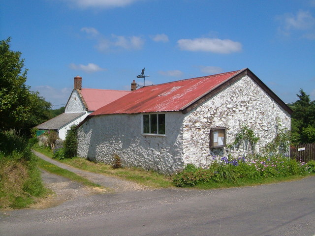
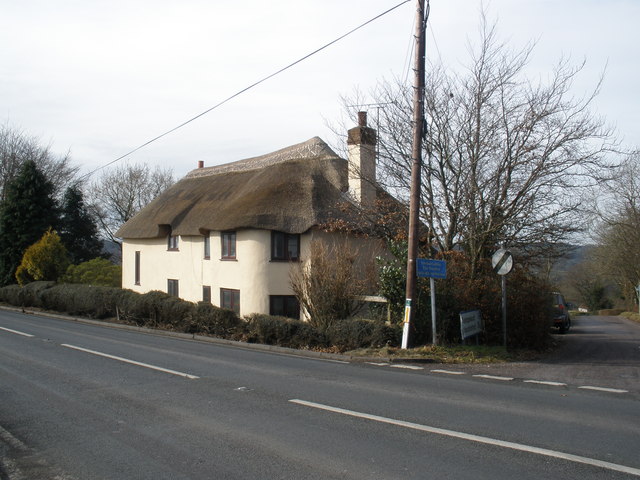
Buckland St Mary: woodland path An old track linking Buckland St Mary and Bishopswood
Buckland St Mary: woodland path
An old track linking Buckland St Mary and Bishopswood
View near Belcombe, Blackdown Hills Looking west-north-west across the valley of a tributary of the Yarty. The wooded area beyond the road is Freshmoor, an SSSI, consisting of bog habitat with scrub.
View near Belcombe, Blackdown Hills
Looking west-north-west across the valley of a tributary of the Yarty. The wooded area beyond the road is Freshmoor, an SSSI, consisting of bog habitat with scrub.
Freshmoor SSSI Looking south-west across part of Freshmoor Site of Special Scientific Interest on a slope in the Blackdown Hills, a bog habitat in decline. Prominent here is Cirsium palustre, the Marsh Thistle.
Freshmoor SSSI
Looking south-west across part of Freshmoor Site of Special Scientific Interest on a slope in the Blackdown Hills, a bog habitat in decline. Prominent here is Cirsium palustre, the Marsh Thistle.
Buckland St Mary, the old Rectory As indicated on older maps (the current rectory of this scattered village in the Blackdown Hills is some distance away). View from the north-west.
Buckland St Mary, the old Rectory
As indicated on older maps (the current rectory of this scattered village in the Blackdown Hills is some distance away). View from the north-west.
Blackdown Hills at Wheatlands Coppice Looking north-north-west from the bridleway from Buckland St Mary to Blindmoor, with Wheatlands Coppice ahead right, the hamlet of Blackwater and the summit ridge of the Blackdown Hills in the distance.
Blackdown Hills at Wheatlands Coppice
Looking north-north-west from the bridleway from Buckland St Mary to Blindmoor, with Wheatlands Coppice ahead right, the hamlet of Blackwater and the summit ridge of the Blackdown Hills in the distance.
The Eagle Tavern on the A303 west of Ilminster
Cottage at Blackwater In a scattered hamlet on top of the Blackdown Hills. From the SW. 2:24 pm
Cottage at Blackwater
In a scattered hamlet on top of the Blackdown Hills. From the SW. 2:24 pm
Charmoor Lane This green lane descends towards a ford across the River Ding.
Charmoor Lane
This green lane descends towards a ford across the River Ding.
Silver Street Looking down a typical Blackdown drove road to the scattered hamlet of Silver Street.
Silver Street
Looking down a typical Blackdown drove road to the scattered hamlet of Silver Street.
Dommett Farm A remarkable old farmhouse on the slopes of the Blackdown Hills, with mullioned windows on the ground floor.
Dommett Farm
A remarkable old farmhouse on the slopes of the Blackdown Hills, with mullioned windows on the ground floor.
View from Hare Lane A view in the Blackdown Hills over a tributary valley of the River Ding; the patch of bluebells are on the edge of Colmer's Mead Plantation.
View from Hare Lane
A view in the Blackdown Hills over a tributary valley of the River Ding; the patch of bluebells are on the edge of Colmer's Mead Plantation.
Bank at Castle Neroche Part of the eastern earthworks of Castle Neroche, perched on a wooded summit in the Blackdown Hills.
Bank at Castle Neroche
Part of the eastern earthworks of Castle Neroche, perched on a wooded summit in the Blackdown Hills.
Combe St Nicholas: house at Higher Beetham Looking north-north-east by the entrance
Combe St Nicholas: house at Higher Beetham
Looking north-north-east by the entrance
Buckland St Mary: The Old Smithy, Newtown The property extends down to the A303 Trunk Road. William Stone, a wheelwright and carpenter, operated here from at least 1836 until his death sometime before 1851. The smithy itself stood in the fork of the main road and this lane. The business continued in existence until the 1940s. 
[Source: Derrick Warren. Under the Spreading Chestnut Tree. Article in Bulletin 78, of the Somerset Industrial Archaeological Society, August 1998]
Buckland St Mary: The Old Smithy, Newtown
The property extends down to the A303 Trunk Road. William Stone, a wheelwright and carpenter, operated here from at least 1836 until his death sometime before 1851. The smithy itself stood in the fork of the main road and this lane. The business continued in existence until the 1940s. [Source: Derrick Warren. Under the Spreading Chestnut Tree. Article in Bulletin 78, of the Somerset Industrial Archaeological Society, August 1998]
Staple Fitzpaine: Castle Neroche Looking west-north-west on Forestry Commission land. A motte-and-bailey castle was constructed here in 1068, a time of turmoil in the west country. It was abandoned early in the 12th century but the ramparts still stand. Neroche was a part of a royal forest in medieval times
Staple Fitzpaine: Castle Neroche
Looking west-north-west on Forestry Commission land. A motte-and-bailey castle was constructed here in 1068, a time of turmoil in the west country. It was abandoned early in the 12th century but the ramparts still stand. Neroche was a part of a royal forest in medieval times
Road to Blackwater and Blindmoor
Meadow below Castle Farm A contented herd of Herefords grazing in the meadow with their young.
Meadow below Castle Farm
A contented herd of Herefords grazing in the meadow with their young.
Cottage, on the A303
Show me another place!

Buckland Hill Clump is located at Grid Ref: ST2713 (Lat: 50.920369, Lng: -3.0321873)

Administrative County: Somerset

District: South Somerset

Police Authority: Avon and Somerset

What 3 Words

///shallower.clips.camera. Near Chard, Somerset

Related Wikis

Church of St Mary, Buckland St Mary

The Anglican Church of St Mary in Buckland St Mary, Somerset, England was built in 1853-1863. It is a Grade II* listed building. == History == The church...

Buckland St Mary

Buckland St Mary is a village and parish in Somerset, England, situated 6 miles (9.7 km) to the west of Ilminster and 8 miles (12.9 km) south of Taunton...

Freshmoor

Freshmoor (grid reference ST280125) is an 11.2 hectare (27.7 acre) biological Site of Special Scientific Interest in Somerset, notified in 1989. Freshmoor...

Castle Neroche

Castle Neroche is a Norman motte-and-bailey castle on the site of an earlier hill fort in the parish of Curland, near Staple Fitzpaine, Somerset, England...

Have you been to Buckland Hill Clump?

Leave your review of Buckland Hill Clump below (or comments, questions and feedback).