Billett's Copse
Wood, Forest in Somerset Somerset West and Taunton
England
Billett's Copse
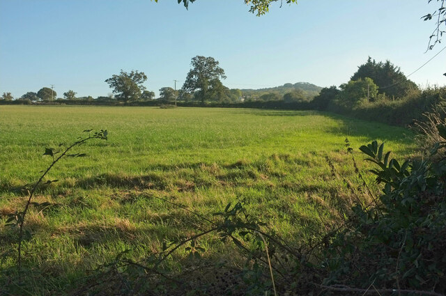
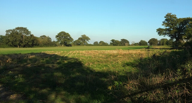
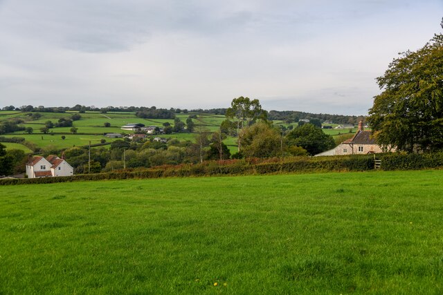
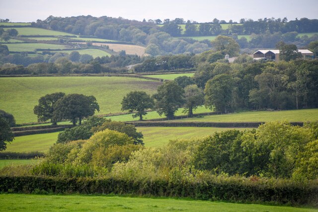
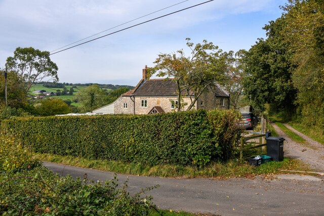
Billett's Copse is a charming woodland located in Somerset, England. Covering an area of approximately 100 acres, it is a haven for nature enthusiasts and those seeking a tranquil escape from the hustle and bustle of everyday life.
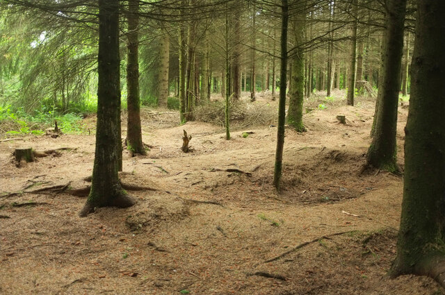
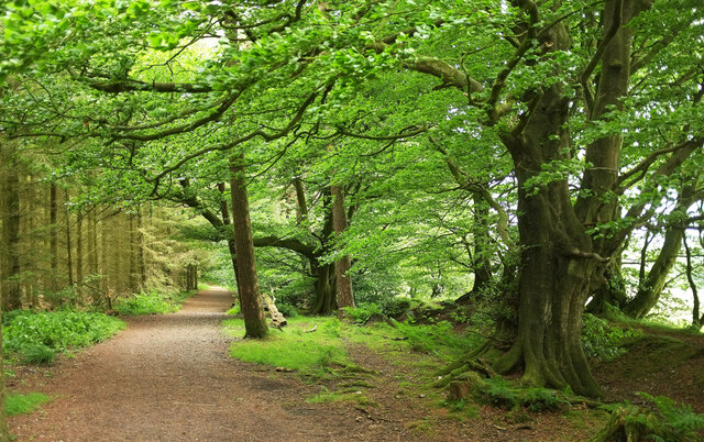
The copse is predominantly made up of broadleaf trees, including oak, beech, and ash, which create a dense canopy overhead. This creates a cool and shaded atmosphere, perfect for a leisurely stroll on a sunny day. The forest floor is covered in a lush carpet of wildflowers, ferns, and mosses, adding to the enchanting ambiance.
The copse is home to a variety of wildlife species, making it a popular destination for birdwatchers and wildlife photographers. Visitors may be lucky enough to spot woodland birds such as woodpeckers, tawny owls, and thrushes. Deer can also be seen grazing in the early mornings or evenings, adding to the sense of natural beauty.
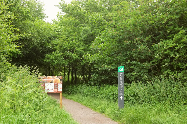
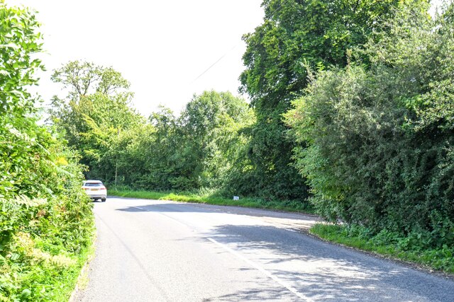
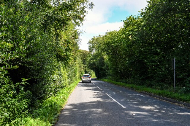
There are several well-maintained pathways and trails that allow visitors to explore the copse at their own pace. These paths wind through the trees, providing glimpses of sunlight filtering through the leaves and creating a magical atmosphere. The copse is also intersected by a small stream, adding to its picturesque charm.
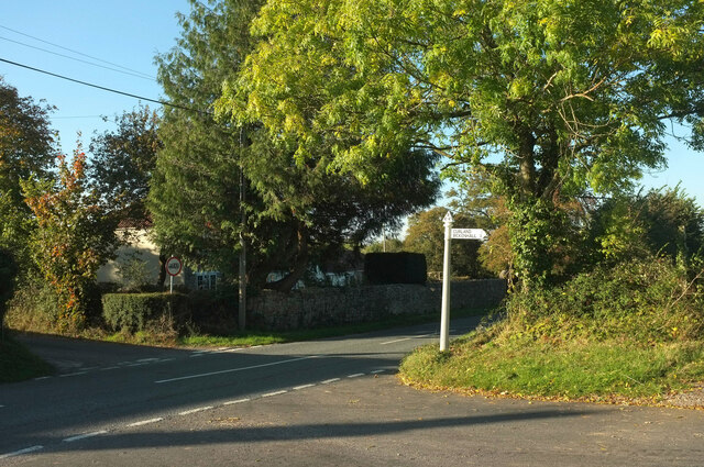
Billett's Copse is a cherished local attraction, offering a peaceful and idyllic setting for picnics, nature walks, and family outings. Whether visitors are seeking solace in nature or simply looking for a place to unwind, Billett's Copse is a delightful destination that showcases the beauty of Somerset's woodlands.
If you have any feedback on the listing, please let us know in the comments section below.
Billett's Copse Images
Images are sourced within 2km of 50.939109/-3.0513609 or Grid Reference ST2616. Thanks to Geograph Open Source API. All images are credited.


Billett's Copse is located at Grid Ref: ST2616 (Lat: 50.939109, Lng: -3.0513609)
Administrative County: Somerset
District: Somerset West and Taunton
Police Authority: Avon and Somerset
What 3 Words
///swanky.mavericks.propose. Near Taunton, Somerset
Related Wikis

Castle Neroche
Castle Neroche is a Norman motte-and-bailey castle on the site of an earlier hill fort in the parish of Curland, near Staple Fitzpaine, Somerset, England...

All Saints Church, Curland
All Saints Church is a former Church of England parish church in Curland, Somerset, England. Designed by Benjamin Ferrey, it was built in 1855–56 to replace...

Ruttersleigh
Ruttersleigh (grid reference ST250165) is a 97 hectares (240 acres) biological Site of Special Scientific Interest between Buckland St Mary and Staple...
Curland
Curland is a village and civil parish in Somerset, England, situated 6 miles (9.7 km) south of Taunton. The village has a population of 225. The parish...

William Portman Almshouses
The William Portman Almshouses in Staple Fitzpaine, Somerset, England was built in 1643. It is a Grade II* listed building. == History == The almshouses...

Staple Hill (Somerset)
Staple Hill is a hill in the English county of Somerset, the highest point in the Blackdown Hills. It is classed as both a Marilyn and a Hardy.This is...

Staple Fitzpaine
Staple Fitzpaine is a village and civil parish in Somerset, England, situated 5 miles (8.0 km) south of Taunton. The village has a population of 189 and...

Church of St Mary, Buckland St Mary
The Anglican Church of St Mary in Buckland St Mary, Somerset, England was built in 1853-1863. It is a Grade II* listed building. == History == The church...
Have you been to Billett's Copse?
Leave your review of Billett's Copse below (or comments, questions and feedback).